Elevation of Wilson St, Johnstown, PA, USA
Location: United States > Pennsylvania > Cambria County > Johnstown >
Longitude: -78.952262
Latitude: 40.3500572
Elevation: 406m / 1332feet
Barometric Pressure: 97KPa
Elevation Map:
Satellite Map:
Related Photos:
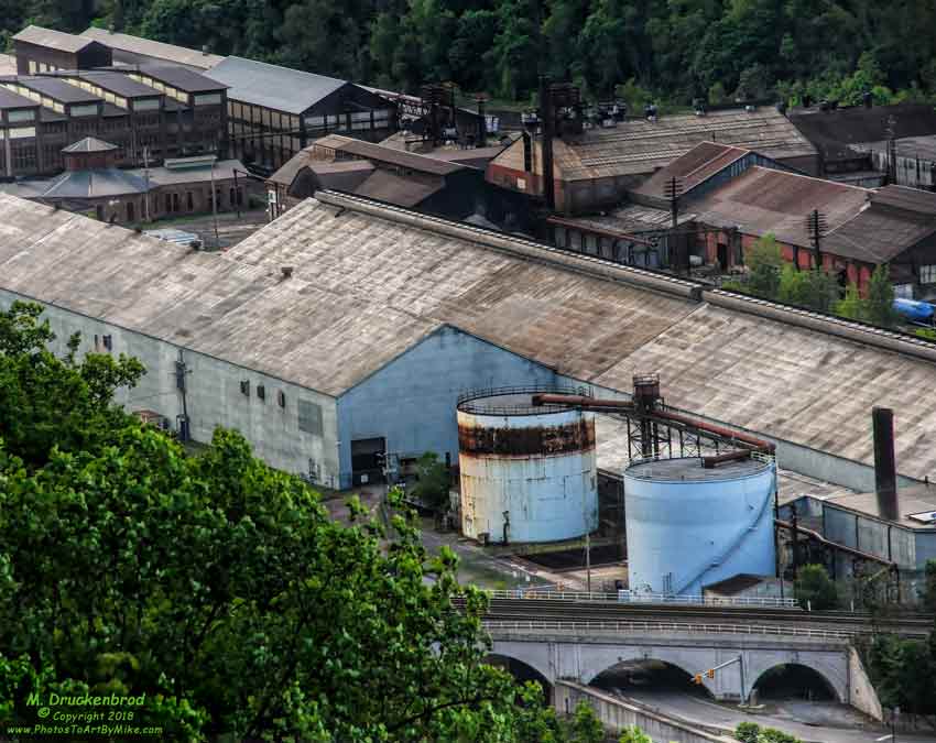
Stone Arch Bridge, Warehouse and Industrial area in Johnstown Pennsylvania

Soap Hollow Road Barn -- Somerset County, Pennsylvania

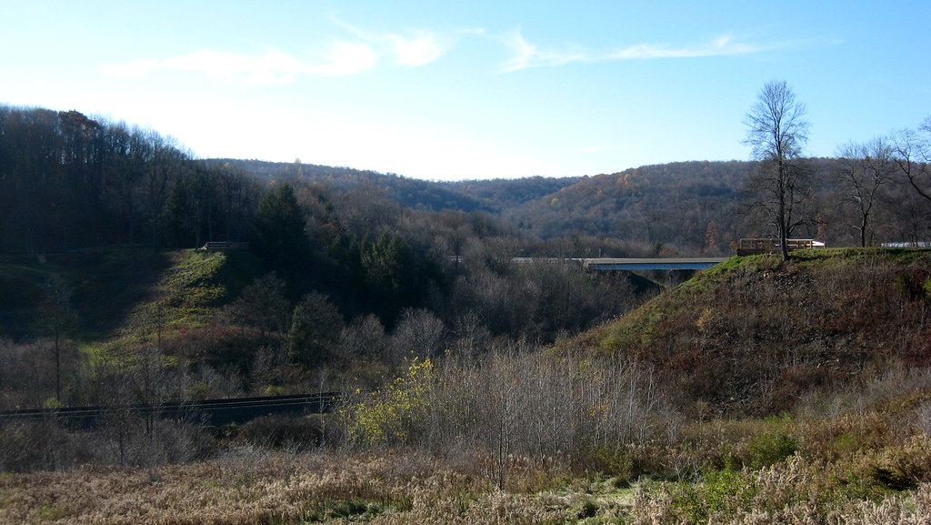
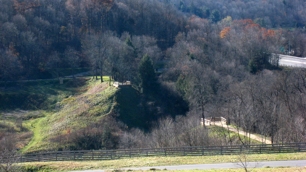
South Fork Valley
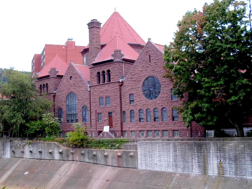
Johnstown, PA-- First United Methodist Church, 1910

My own Mail Pouch barn!

Shaffer Bridge -- Somerset County, Pennsylvania

Shaffer Bridge -- Somerset County, Pennsylvania

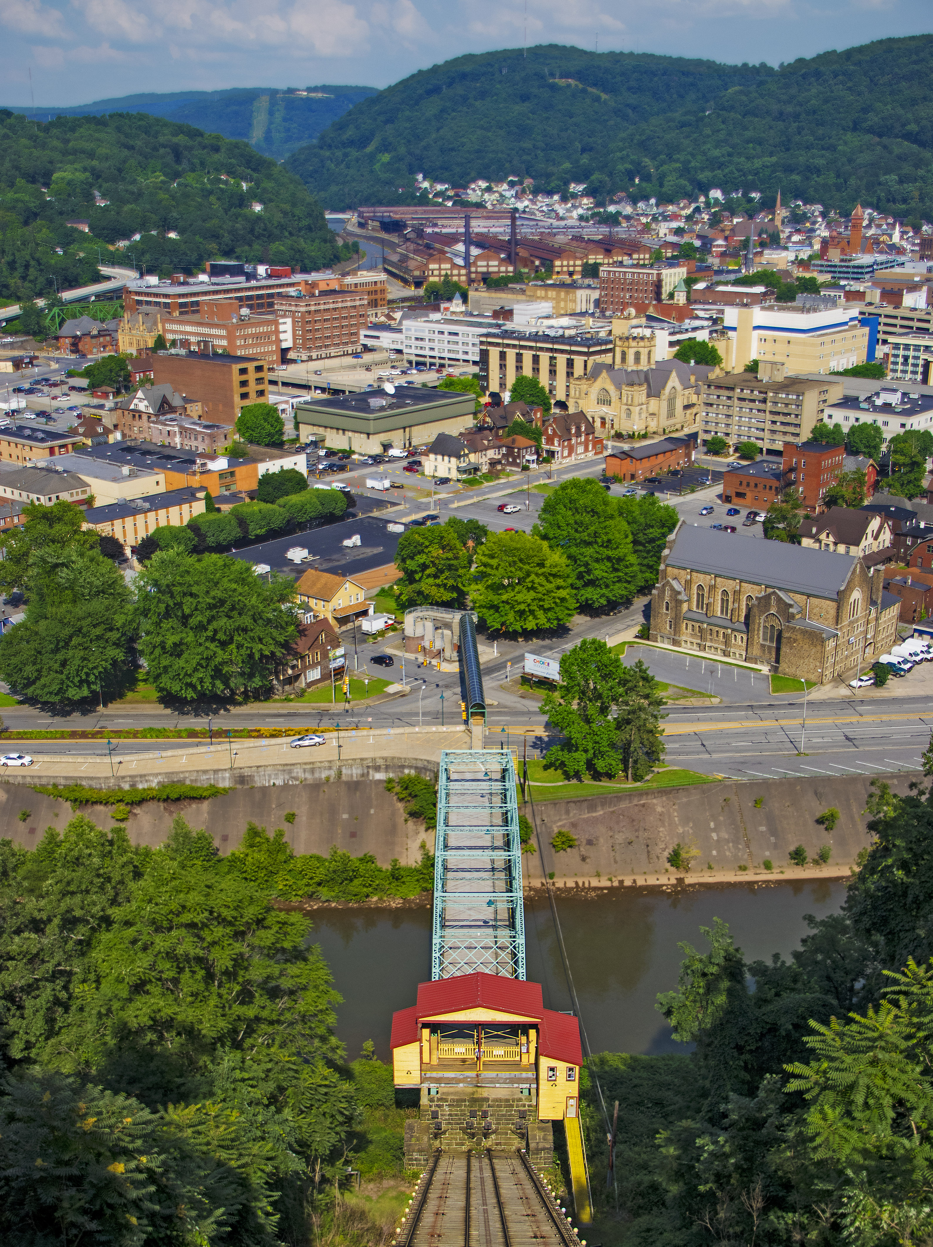
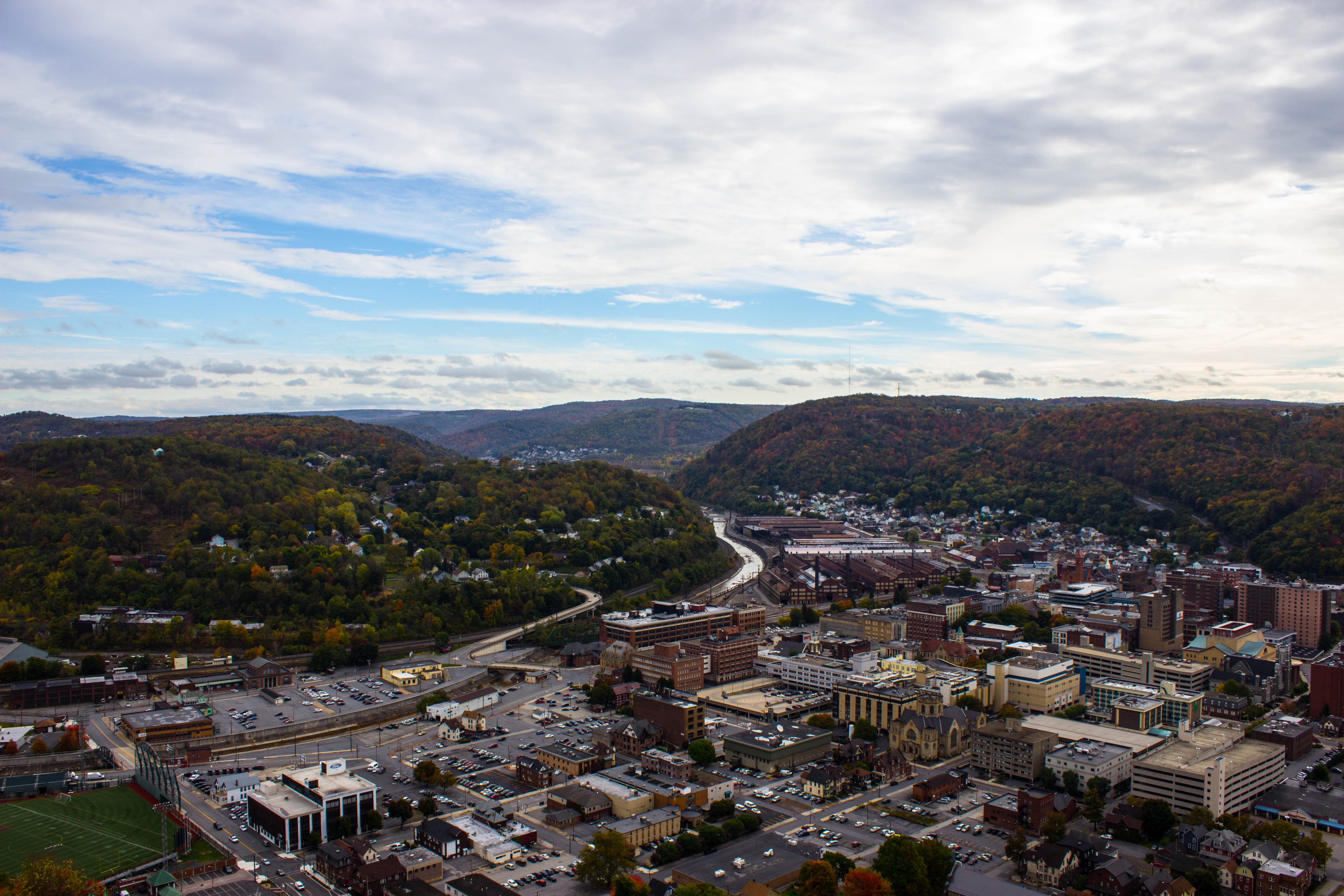
View of Johnstown (PA) from the Inclined Plane August 2017
View of Johnstown (PA) from the Inclined Plane August 2017

1930 Ford Model A Hot Rod
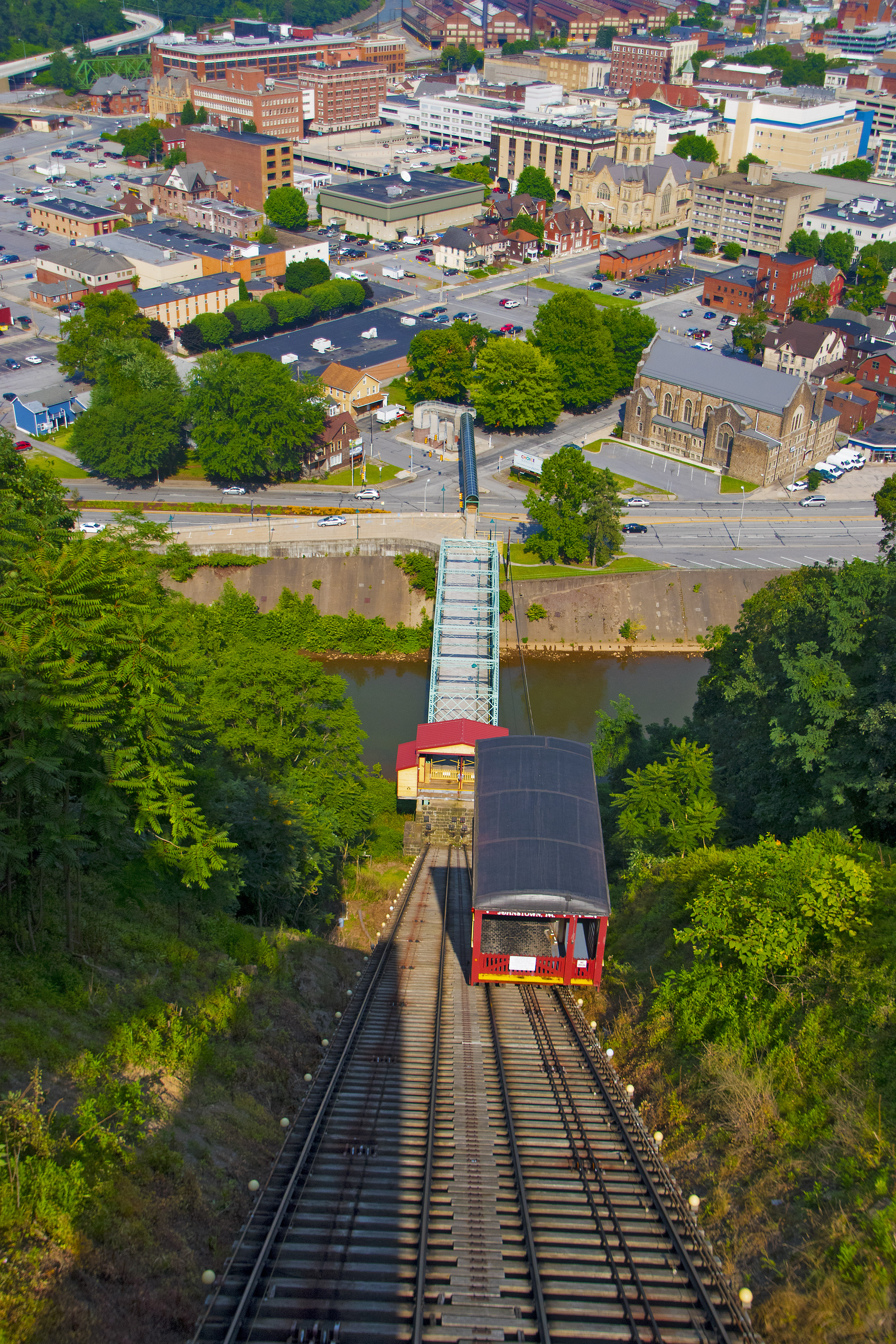
'Ascent' -- View of Downtown Johnstown (PA) from the Inclined Plane August 2017

1930 Ford Model A Hot Rod

1930 Ford Model A Hot Rod

1930 Ford Model A Hot Rod

Concourse, Point Stadium - Johnstown, Pennsylvania
Close View of the failed South Fork Dam

View from Rightfield Bleachers, Point Stadium - Johnstown, Pennsylvania

Point Stadium - Johnstown, Pennsylvania

Shaffer Bridge -- Somerset County, Pennsylvania

Johnstown PA-25
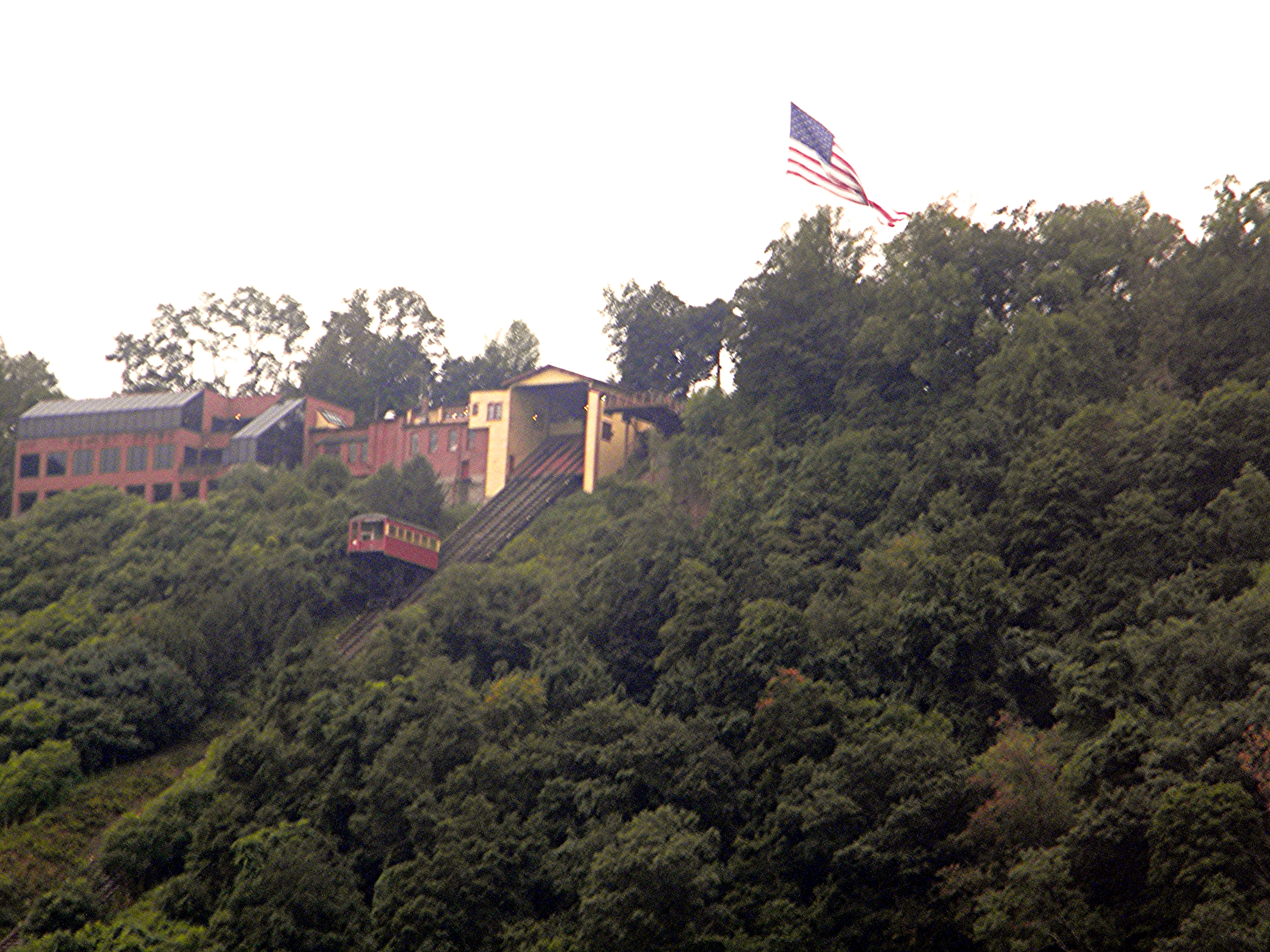
Incline in Johnstown PA
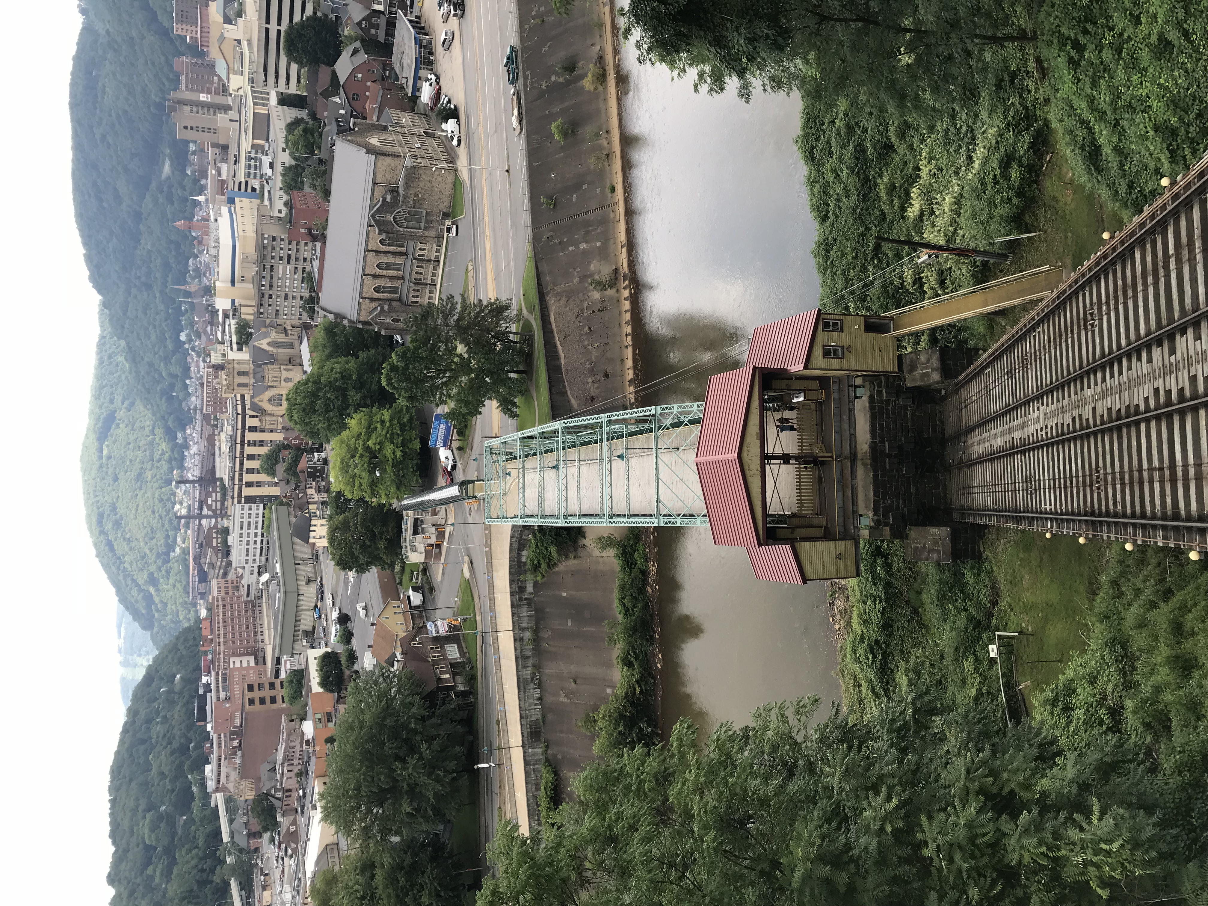
Photo Aug 10, 12 01 07 (2)
South Fork Dam
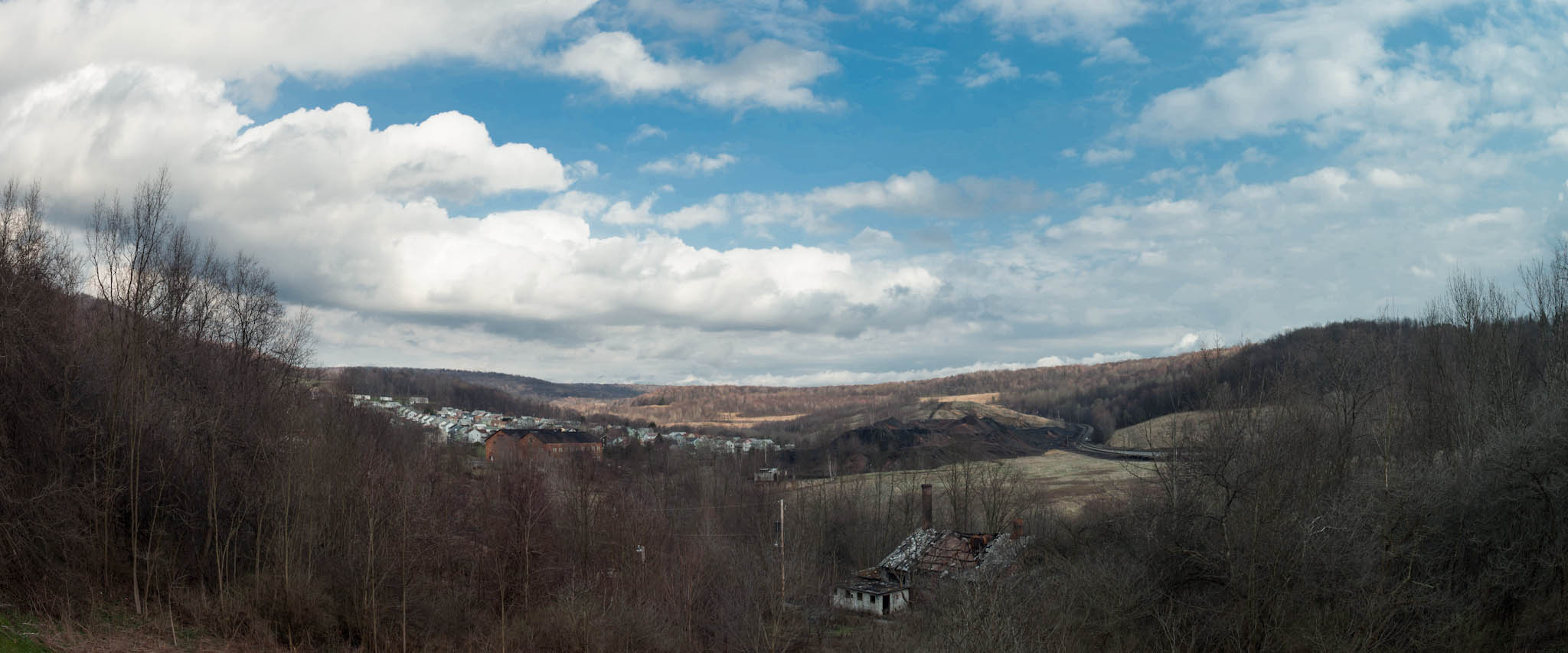
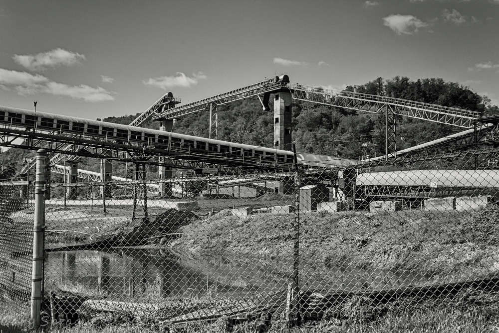
Mine 40 near Windber, PA
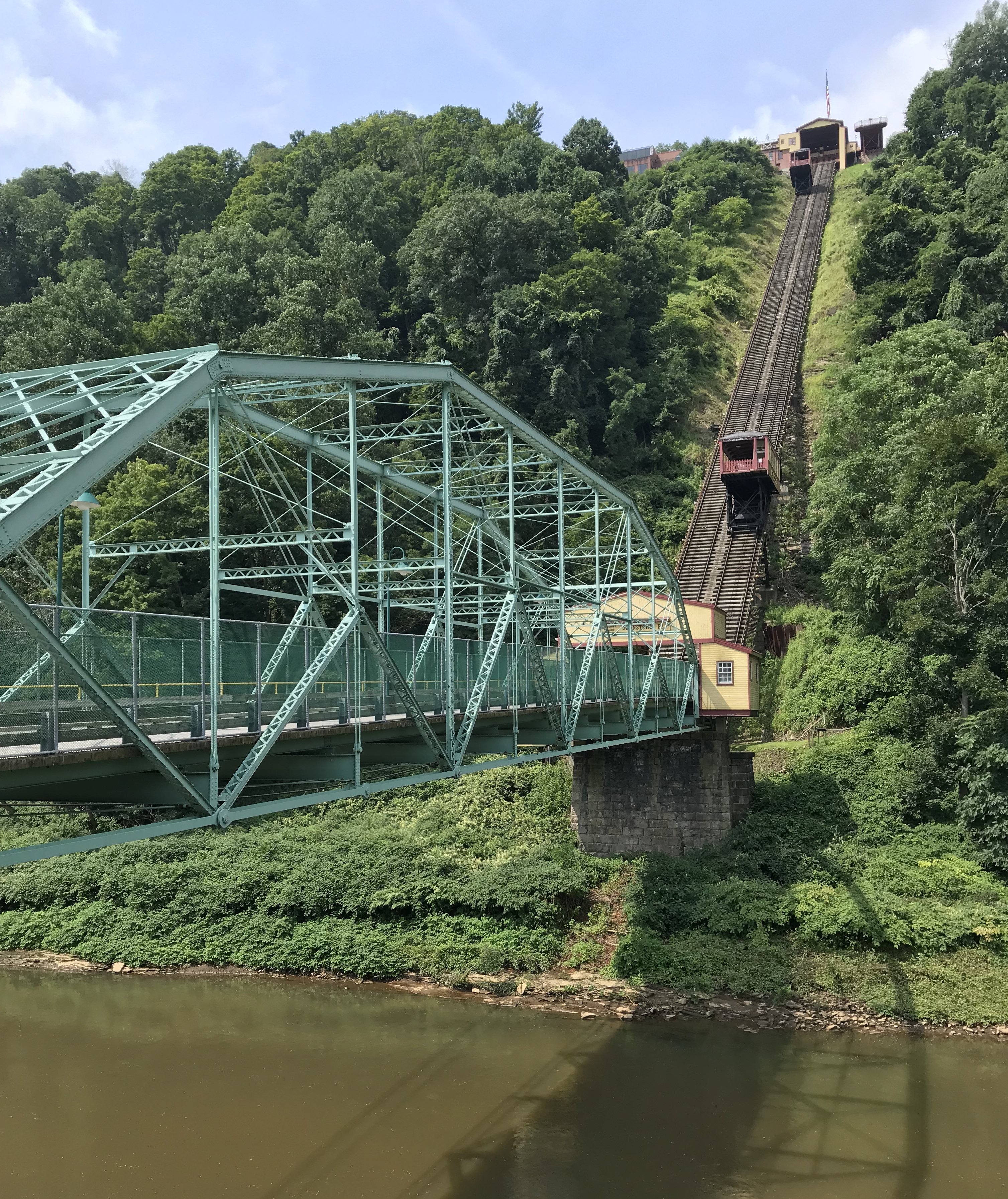
Photo Aug 10, 11 49 55 (1)

Photo Aug 10, 12 02 36 (1)
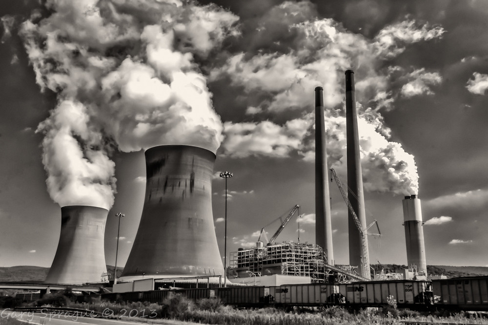
Conemaugh Generating Station
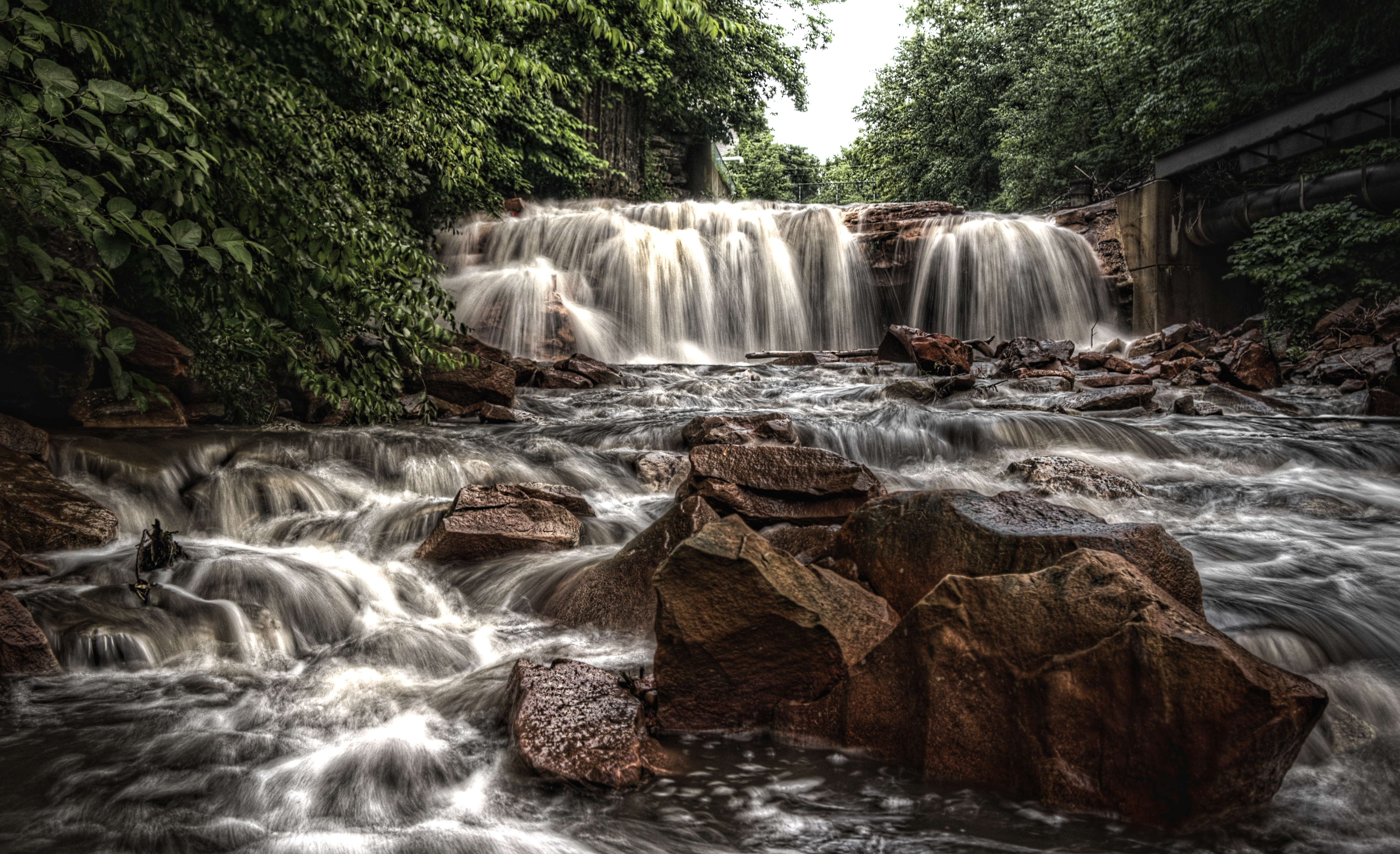
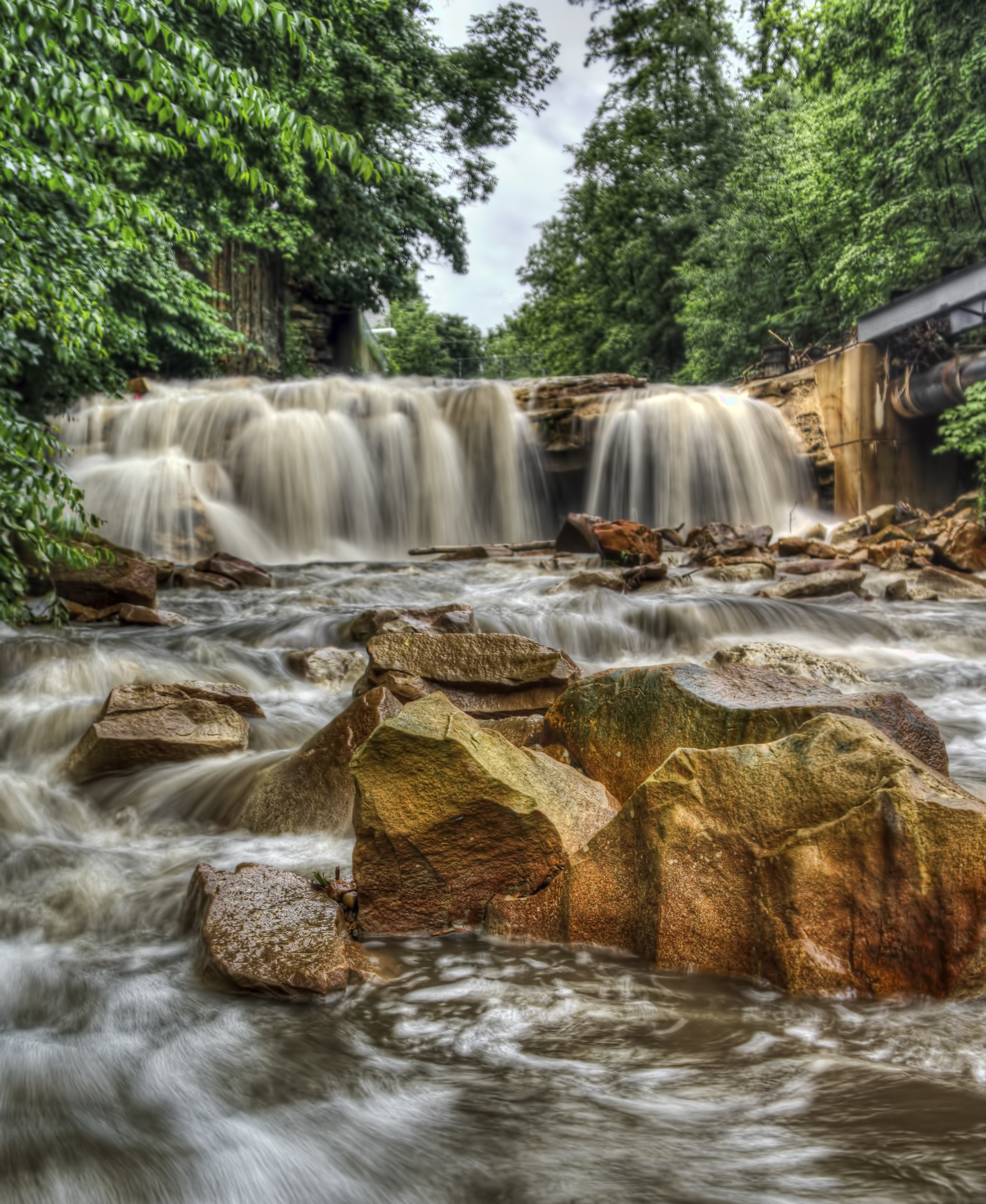
Paint Falls

Colors painted by the sun

Sang Hollow Extension
Paint Falls
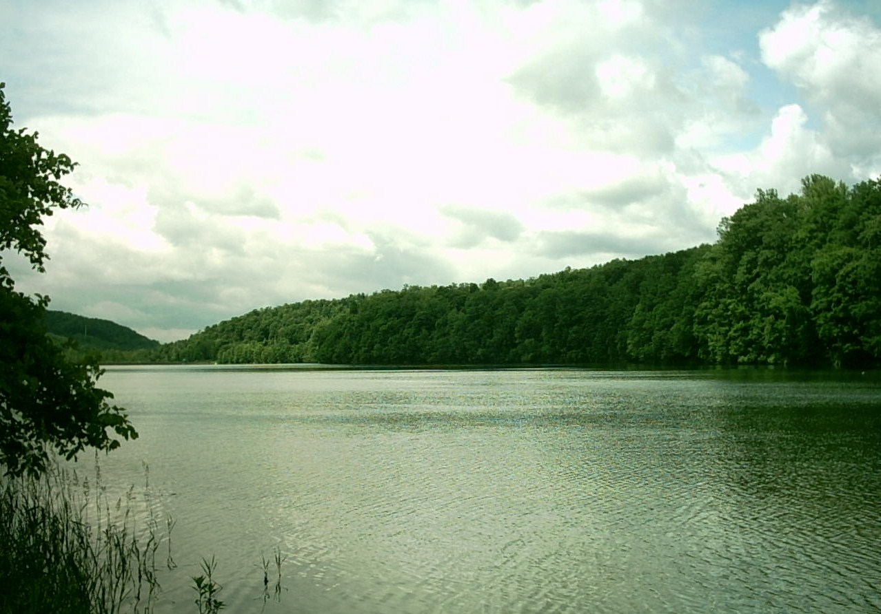
Hinckston Run Reservoir

The snow, as it dies, gives birth to the fog

Paint Falls Side Waterfall
The Conemaugh Generating Station deep mine water run off ponding
Johnstown Flood NM PA 1
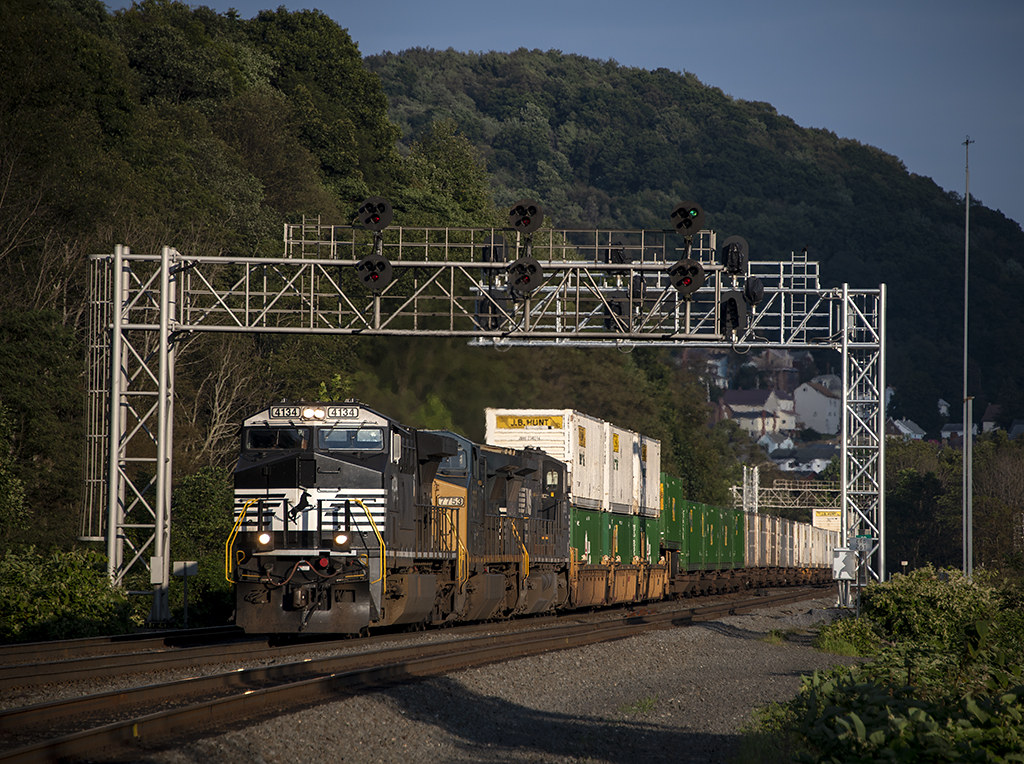
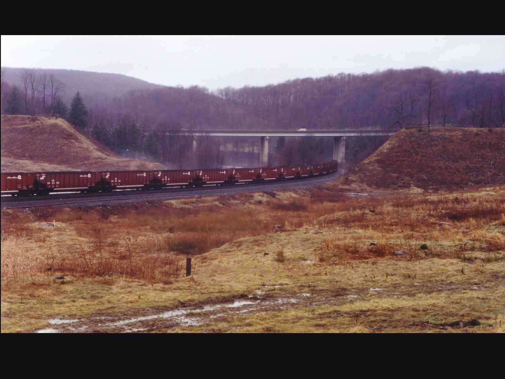
NS 25Z at South Fork, Pennsylvania on August 29, 2018

grandma's farm
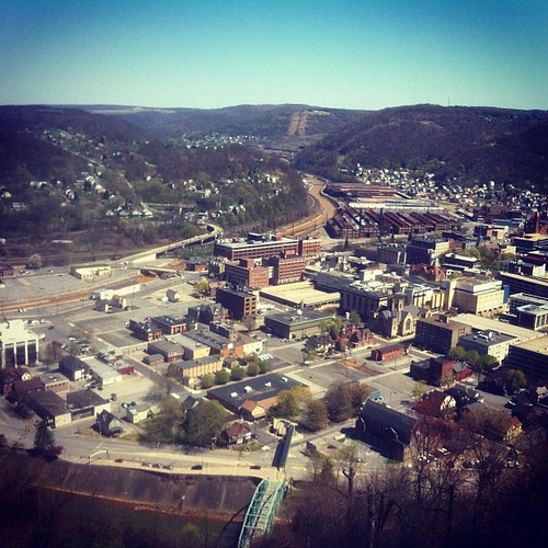
Looking out at johnstown pa

Such a beautiful town...been destroyed 3x by floods. We visited the Flood Museum and the site where the damn was today. Pretty tragic but very insightful. #JohnstownPA #JohnstownFlood
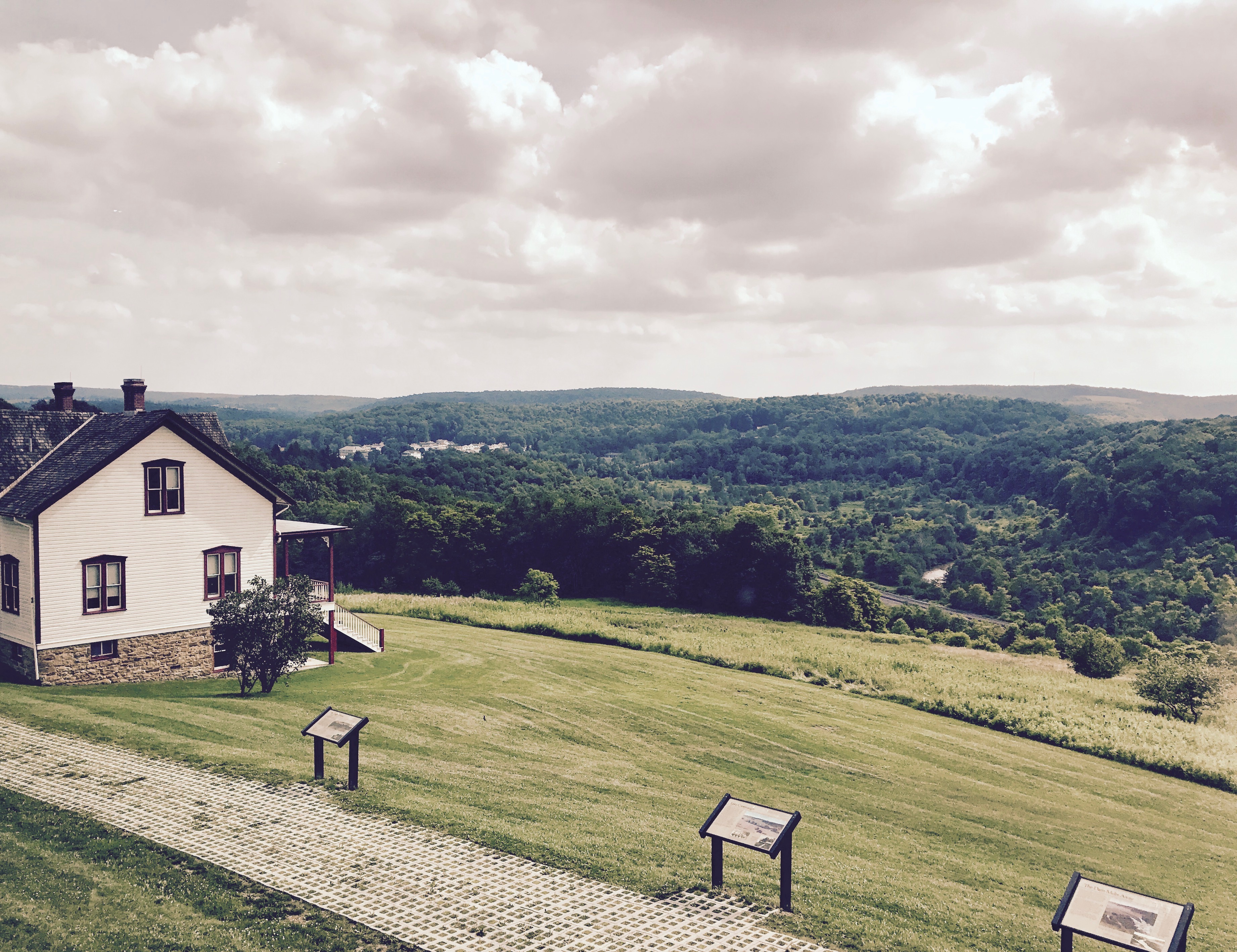
Unger House and What was Once Lake Conemaugh, Johnstown Flood Memorial, South Fork, Pennsylvania, July 2017
Beautiful day in Johnstown
Topographic Map of Wilson St, Johnstown, PA, USA
Find elevation by address:

Places near Wilson St, Johnstown, PA, USA:
16 Oakhurst Homes, Johnstown, PA, USA
1001 Broad St
Broad St, Johnstown, PA, USA
1828 Goucher St
1781 Goucher St
700 Cooper Ave
240 Judith Dr
123 Taft St
1605 Emmett Dr
902 Parkview Dr
1520 Goucher St
84 Iron St
Lower Yoder Township
Westmont
Menoher Blvd, Johnstown, PA, USA
101 Main St
2178 Woodcrest Dr
2253 Spear Ave
421 Wayne St
Johnstown
Recent Searches:
- Elevation of Corso Fratelli Cairoli, 35, Macerata MC, Italy
- Elevation of Tallevast Rd, Sarasota, FL, USA
- Elevation of 4th St E, Sonoma, CA, USA
- Elevation of Black Hollow Rd, Pennsdale, PA, USA
- Elevation of Oakland Ave, Williamsport, PA, USA
- Elevation of Pedrógão Grande, Portugal
- Elevation of Klee Dr, Martinsburg, WV, USA
- Elevation of Via Roma, Pieranica CR, Italy
- Elevation of Tavkvetili Mountain, Georgia
- Elevation of Hartfords Bluff Cir, Mt Pleasant, SC, USA