Elevation of Broad St, Johnstown, PA, USA
Location: United States > Pennsylvania > Cambria County > Johnstown >
Longitude: -78.934508
Latitude: 40.3427209
Elevation: 352m / 1155feet
Barometric Pressure: 97KPa
Elevation Map:
Satellite Map:
Related Photos:
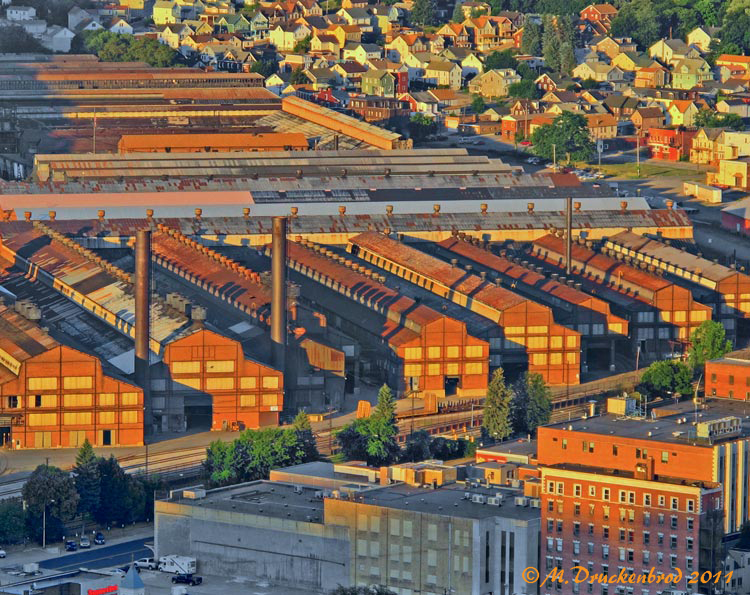
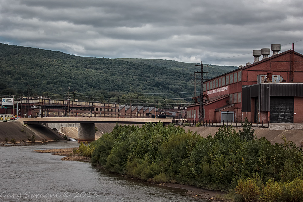
Johnstown Pennsylvania, Cambria Iron Company

American Crow - Johnstown, Pennsylvania

View form the top, The Johnstown Inclined Plane
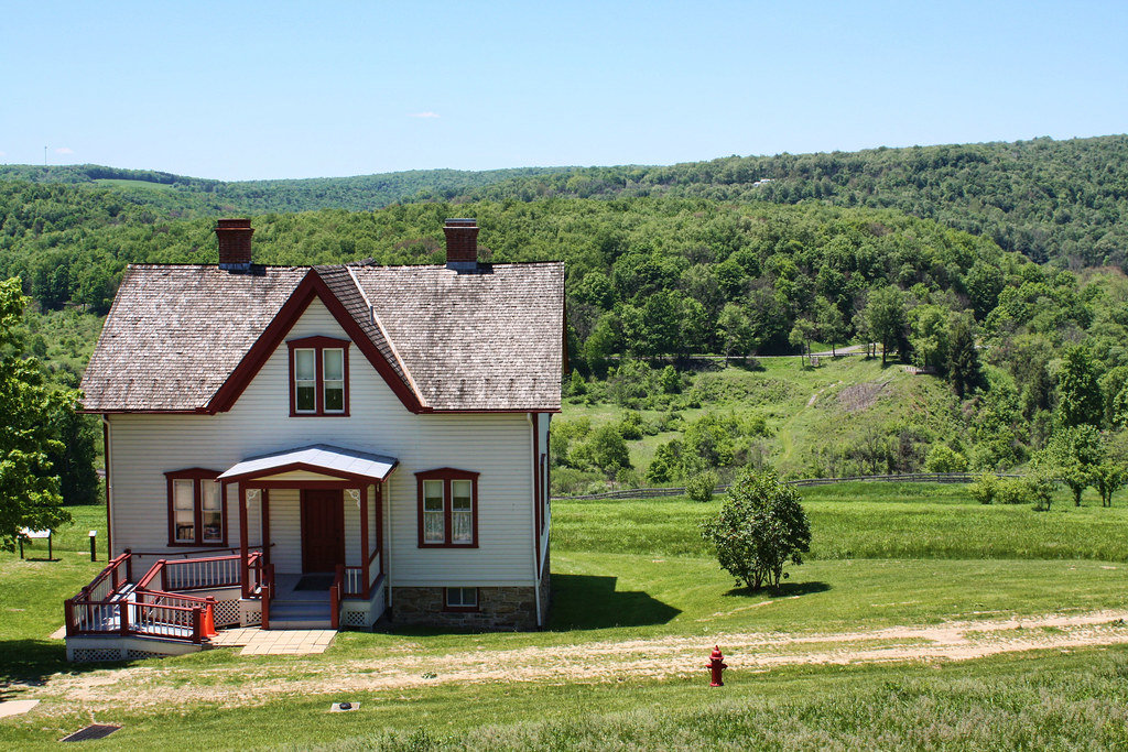
Johnstown Flood National Memorial
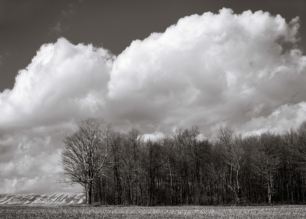
A View of the Mountains...
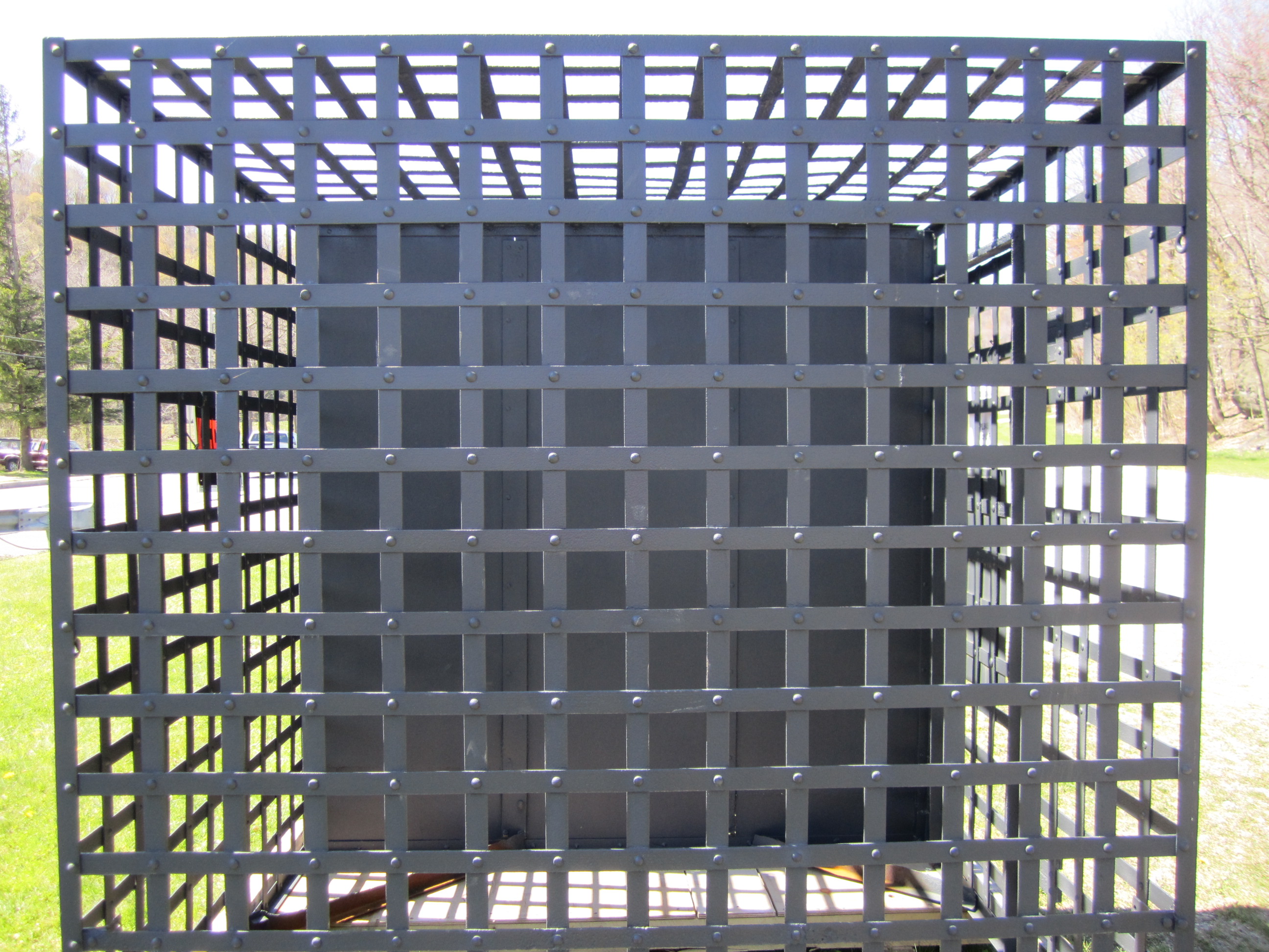
Jail cell side view

Funeral Flowers for William P. Rees, Albumen Cabinet Card, March 1891

My own Mail Pouch barn!
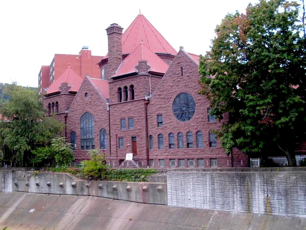
Johnstown, PA-- First United Methodist Church, 1910

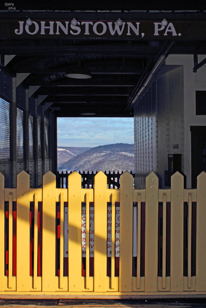
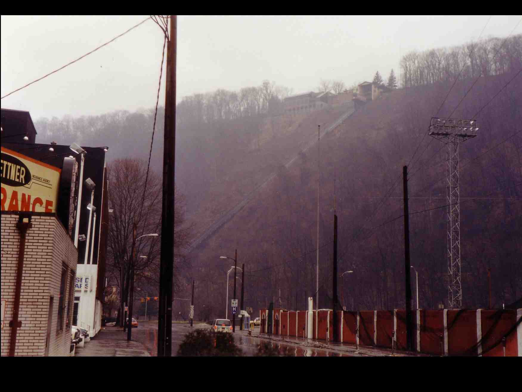
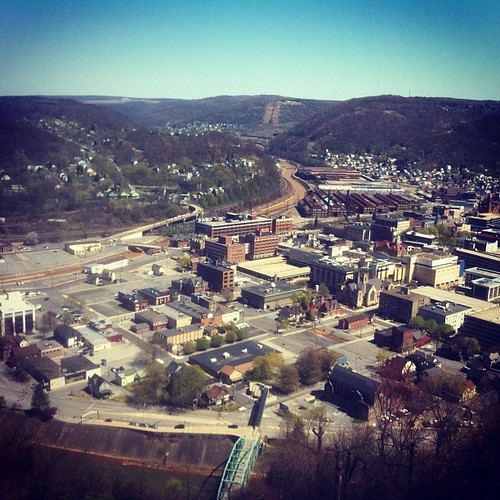
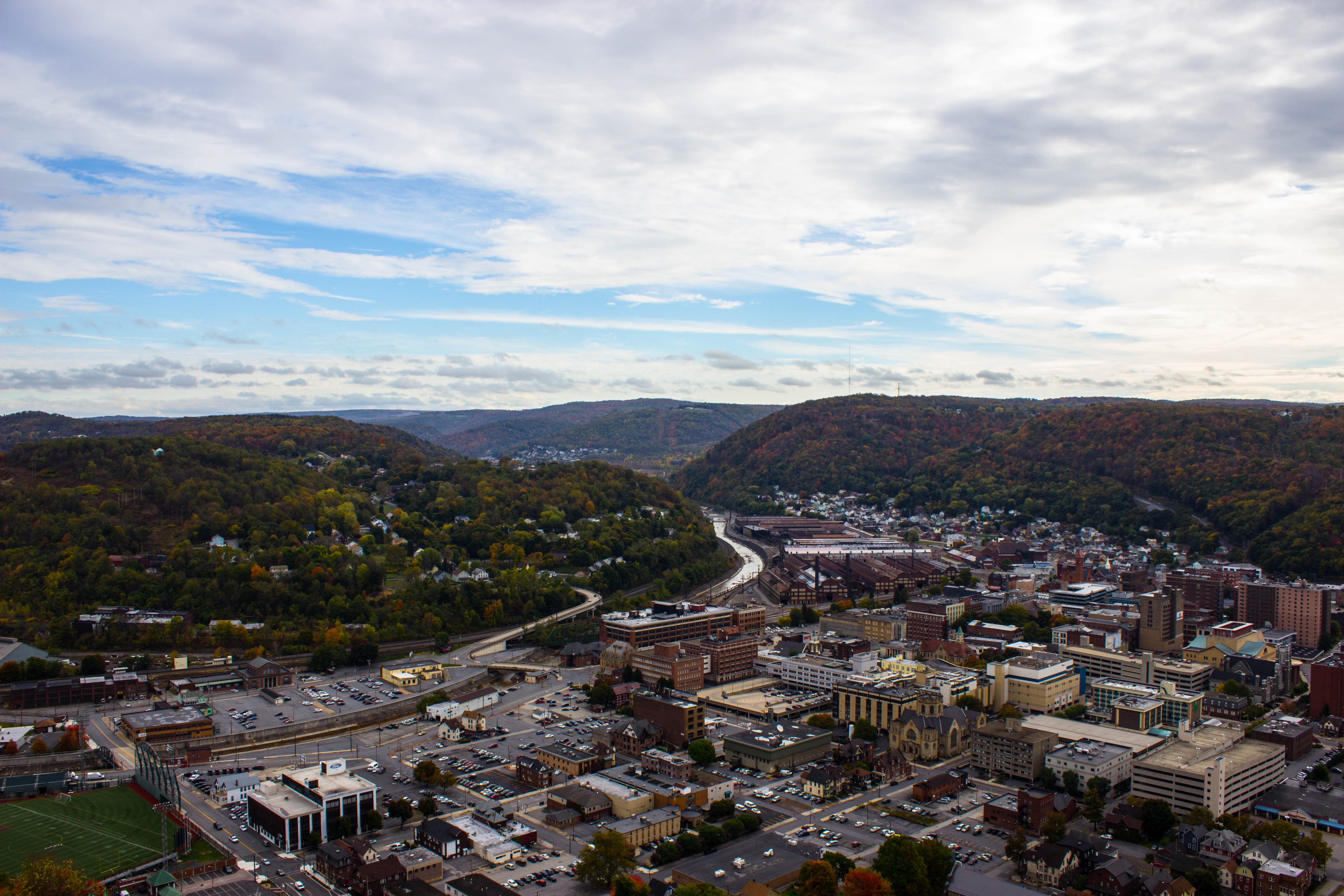
Johnstown PA Inclined Plane tracks and a city view

Shaffer Bridge -- Somerset County, Pennsylvania
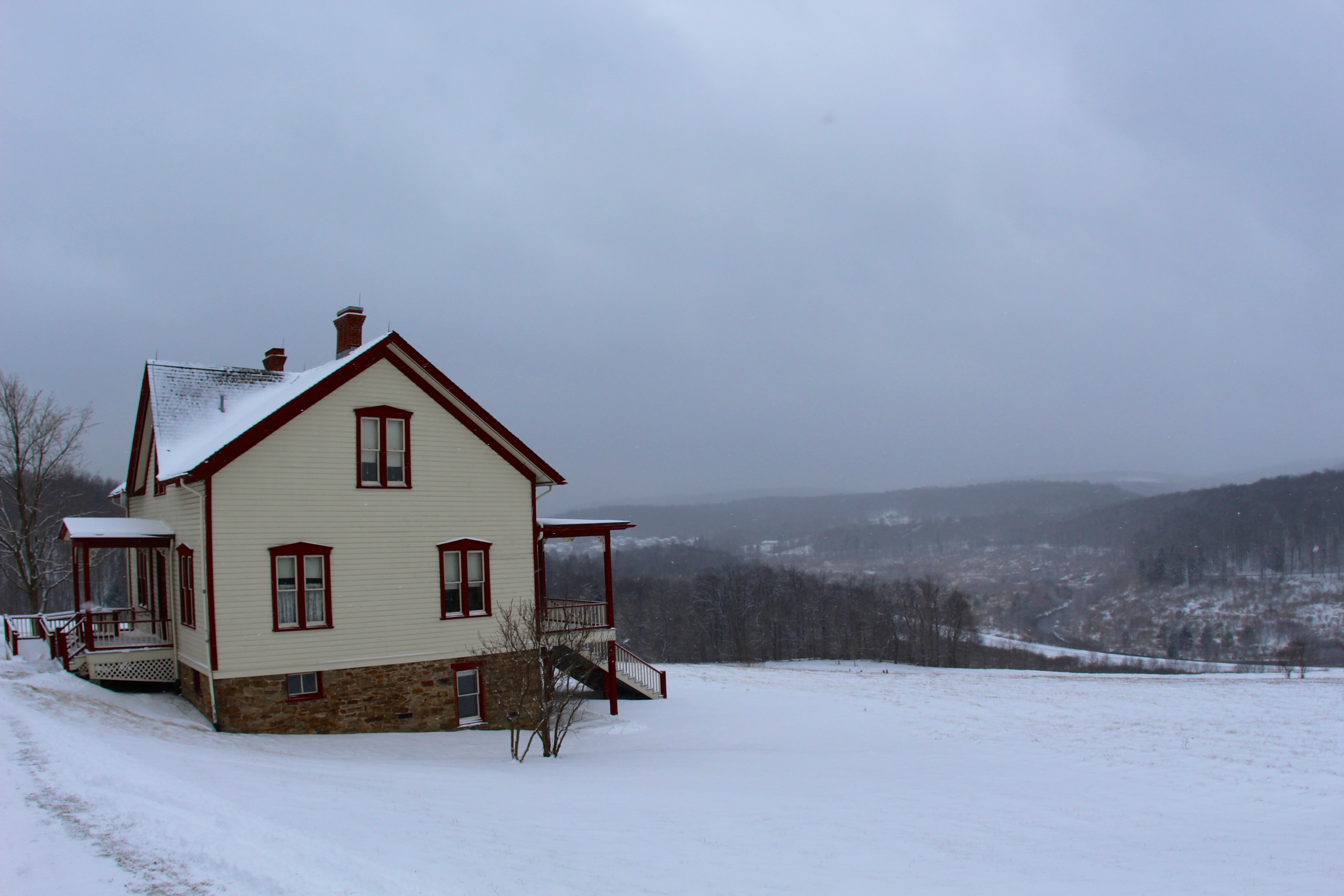
The Unger House
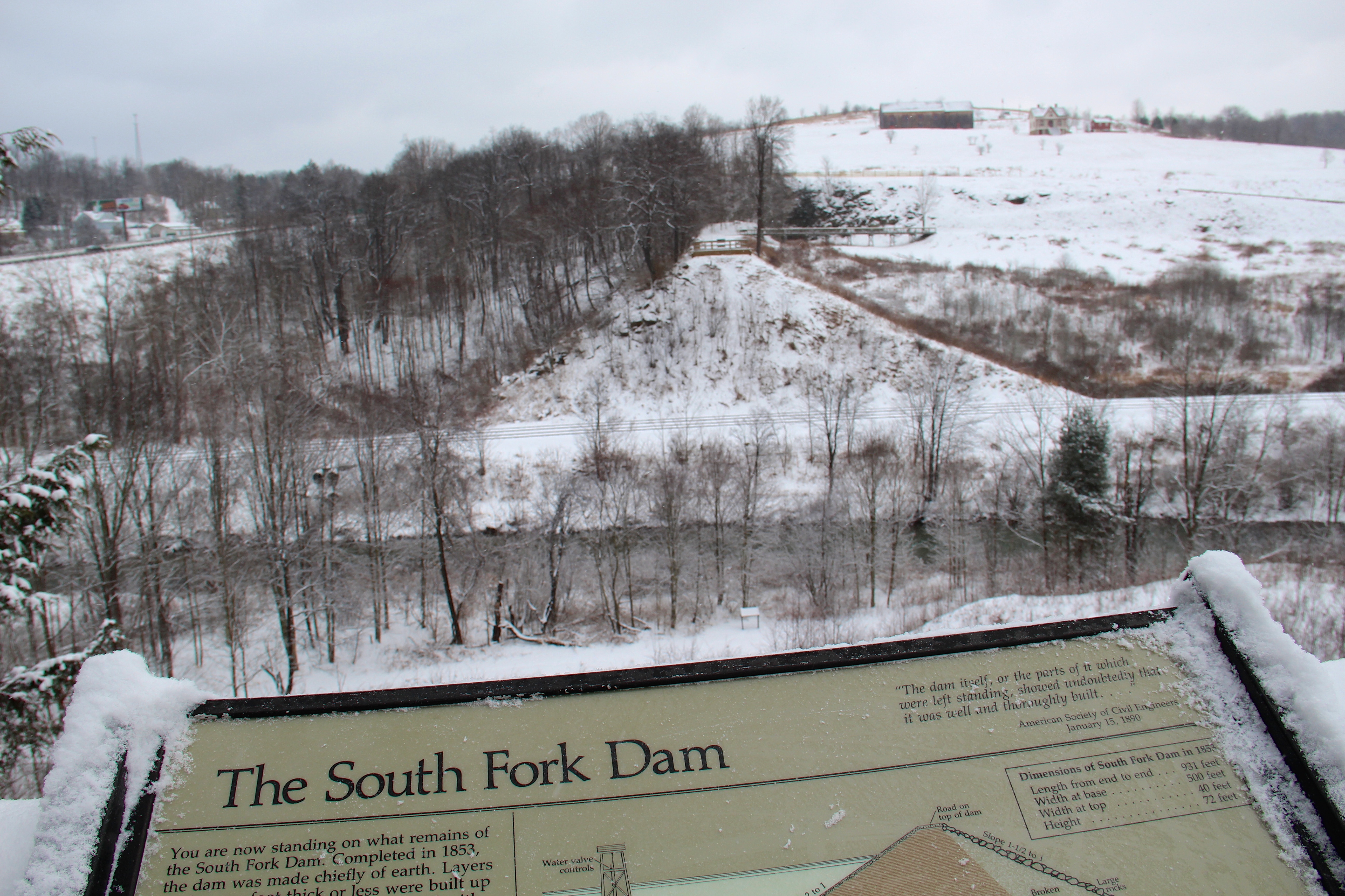
View of The South Fork Dam
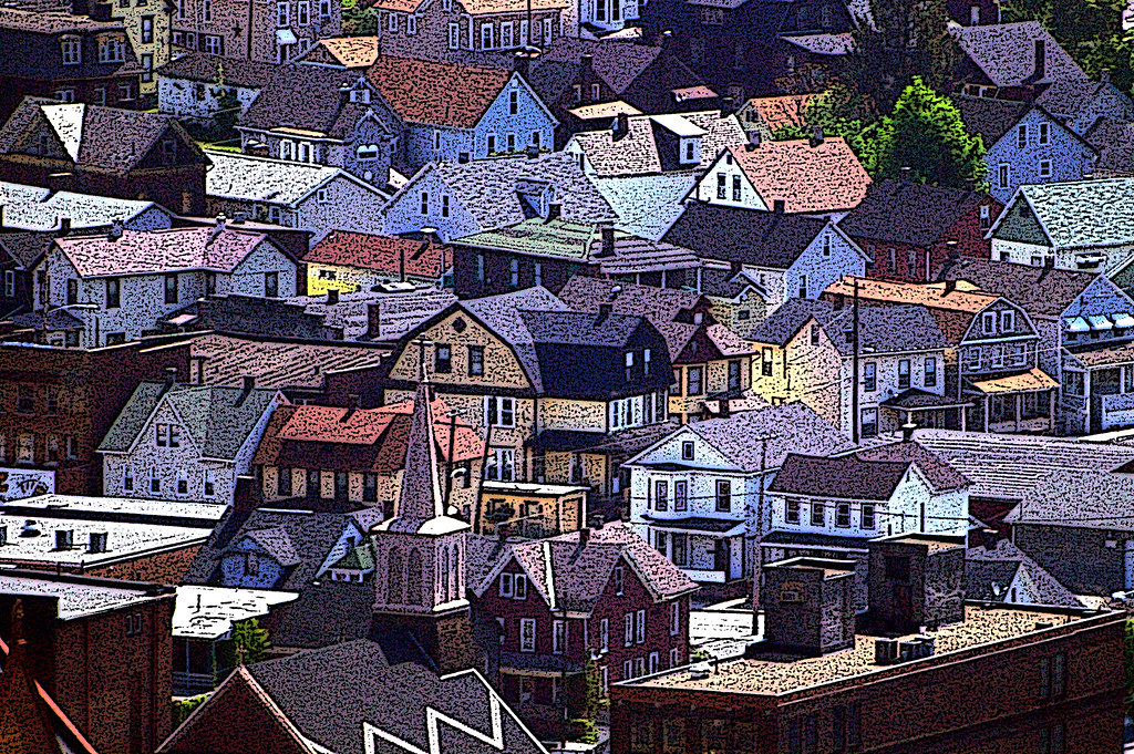
Johnstown, PA -view from top of the inclined plane
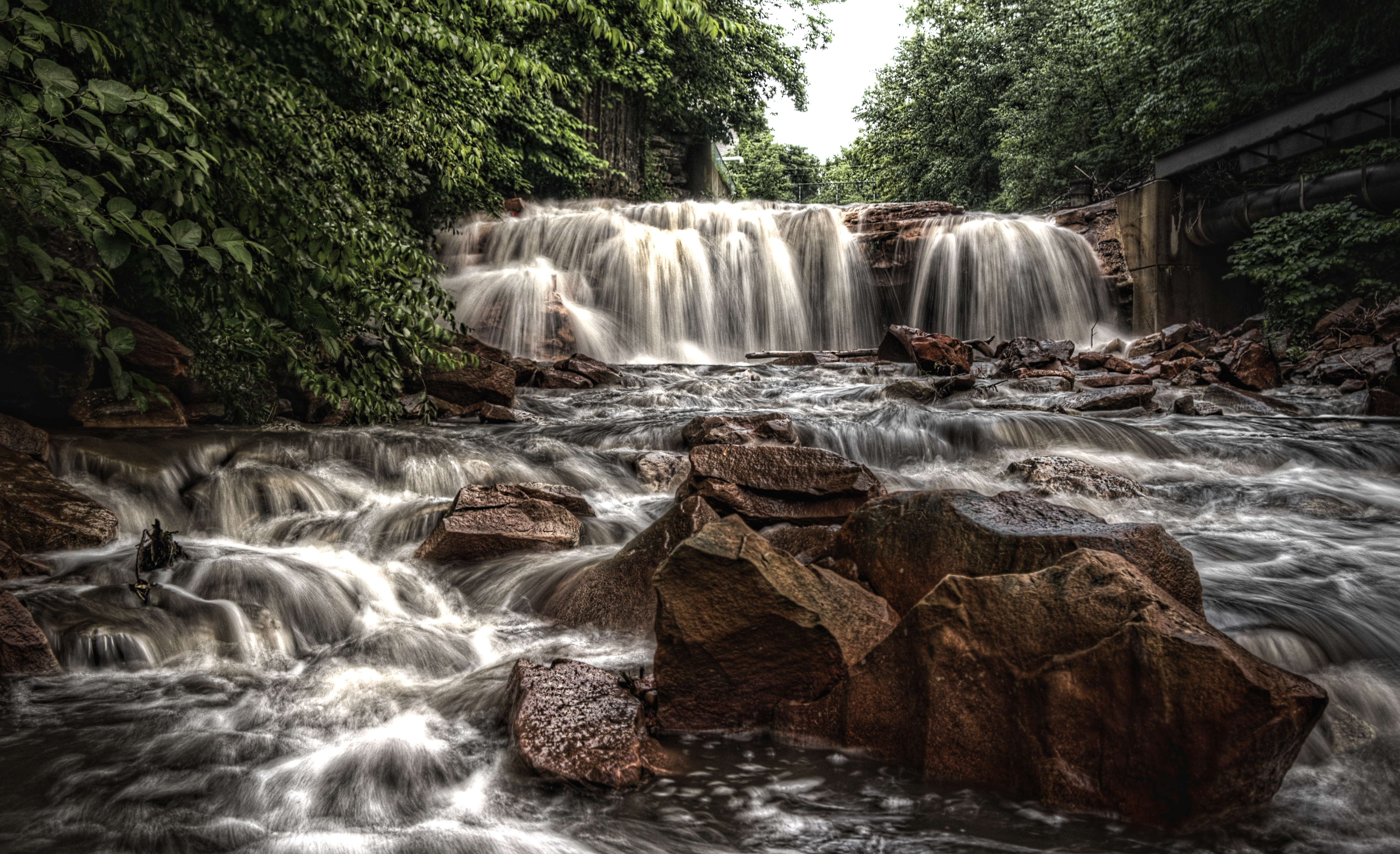
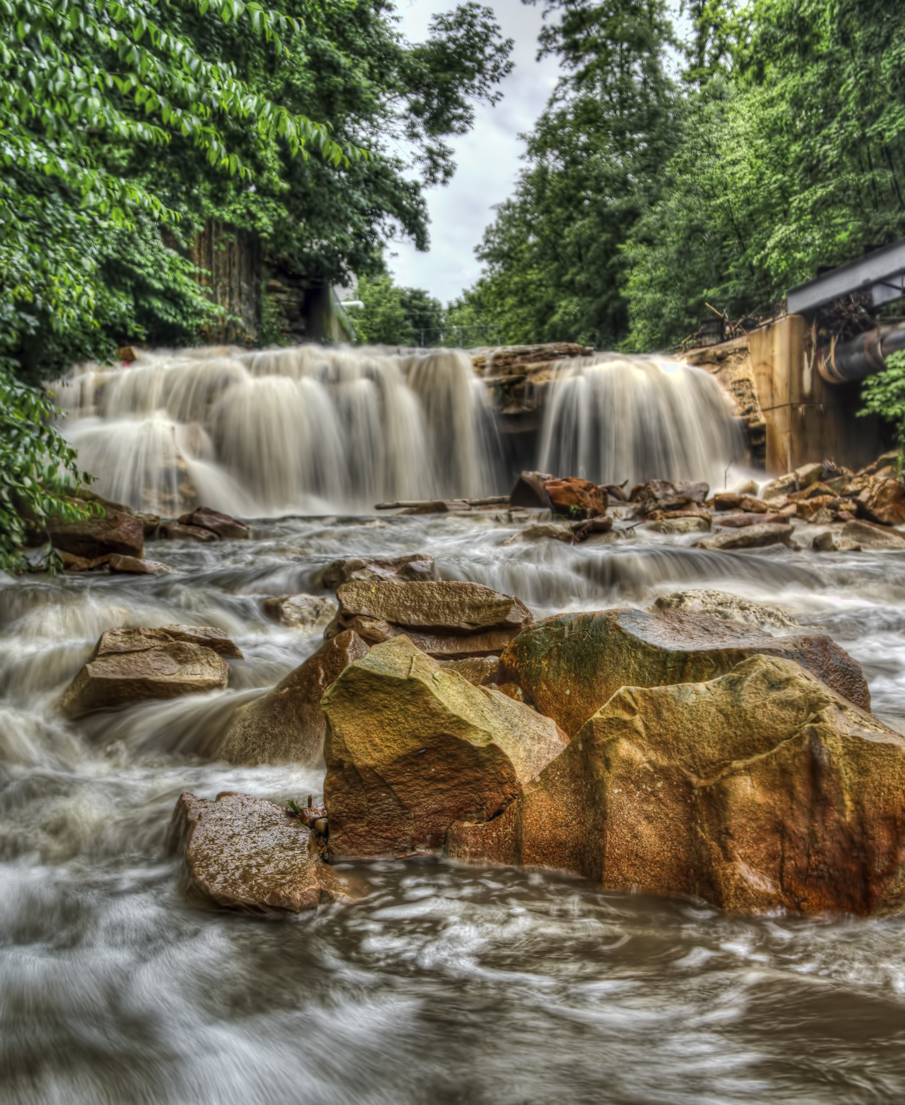
What remains of the South Fork Dam

Summerhill from the Hill
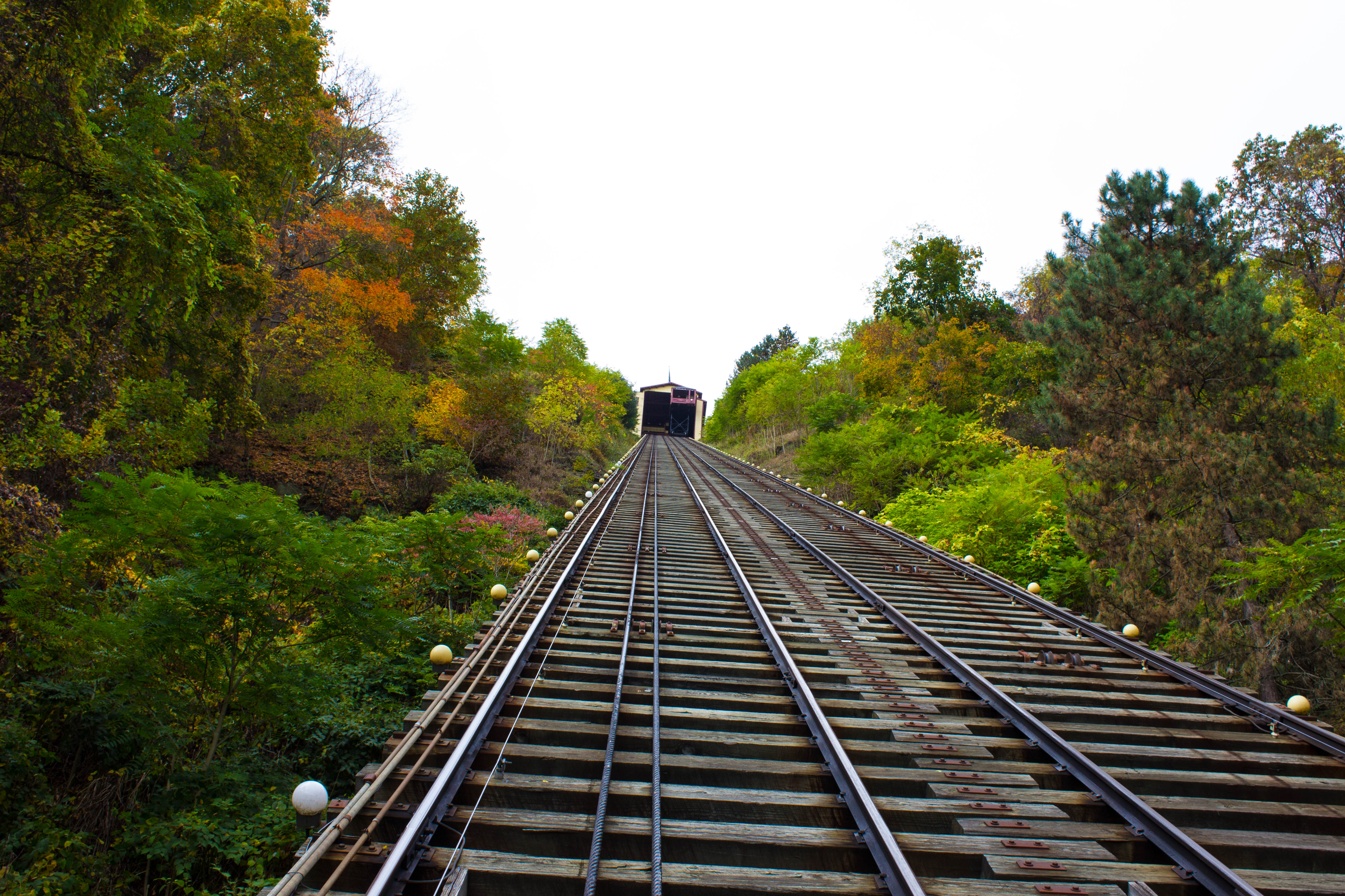
Johnstown Inclined Plane PA
Big and Tall

View from halfway down

1930 Ford Model A Hot Rod

Johnstown Tiltfshift
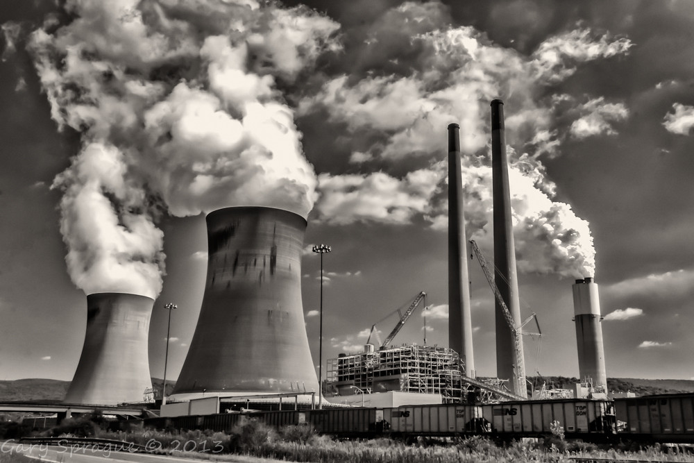
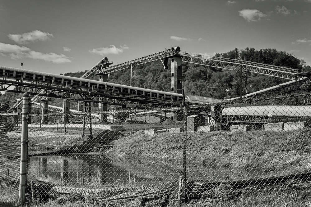
Conemaugh Generating Station

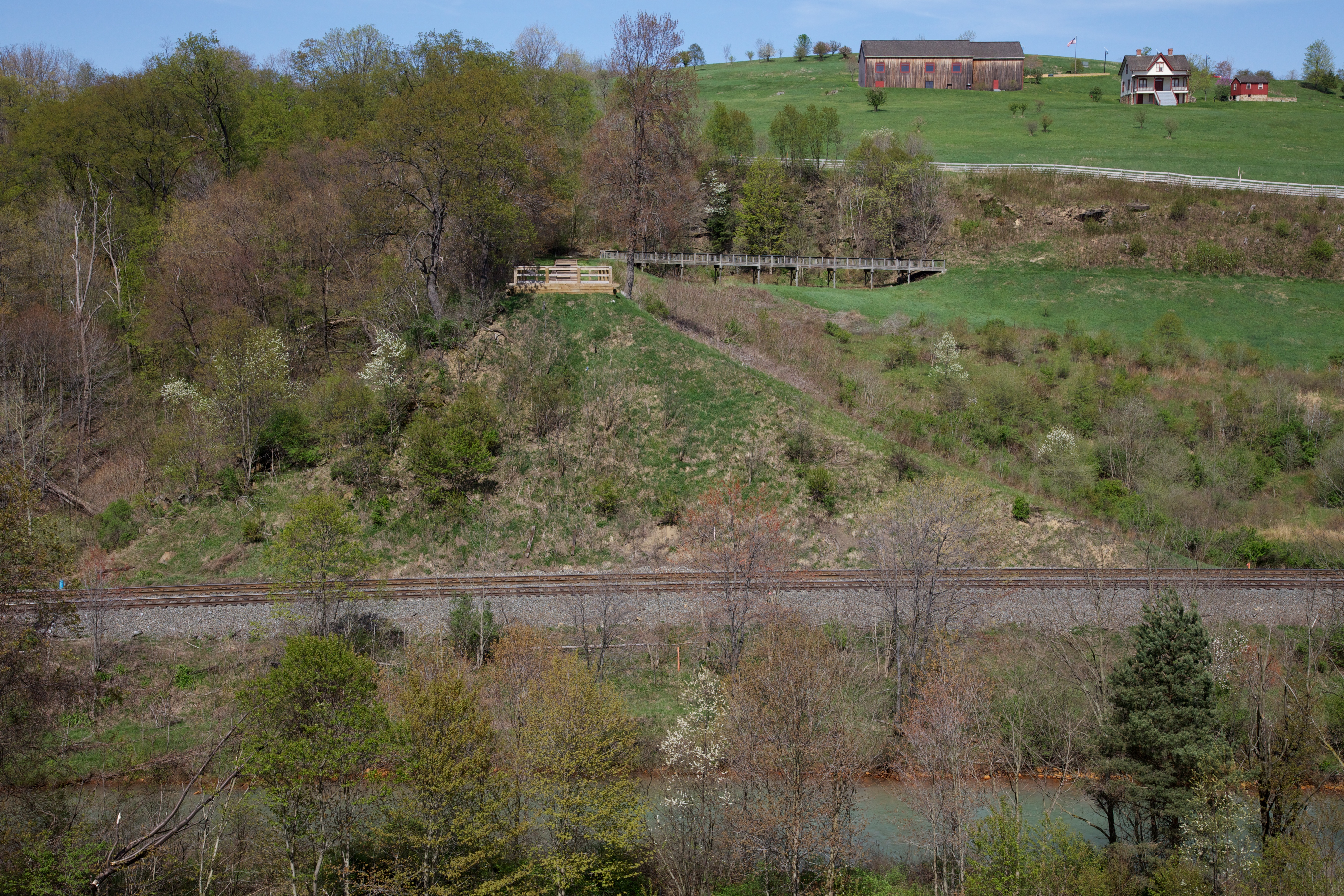
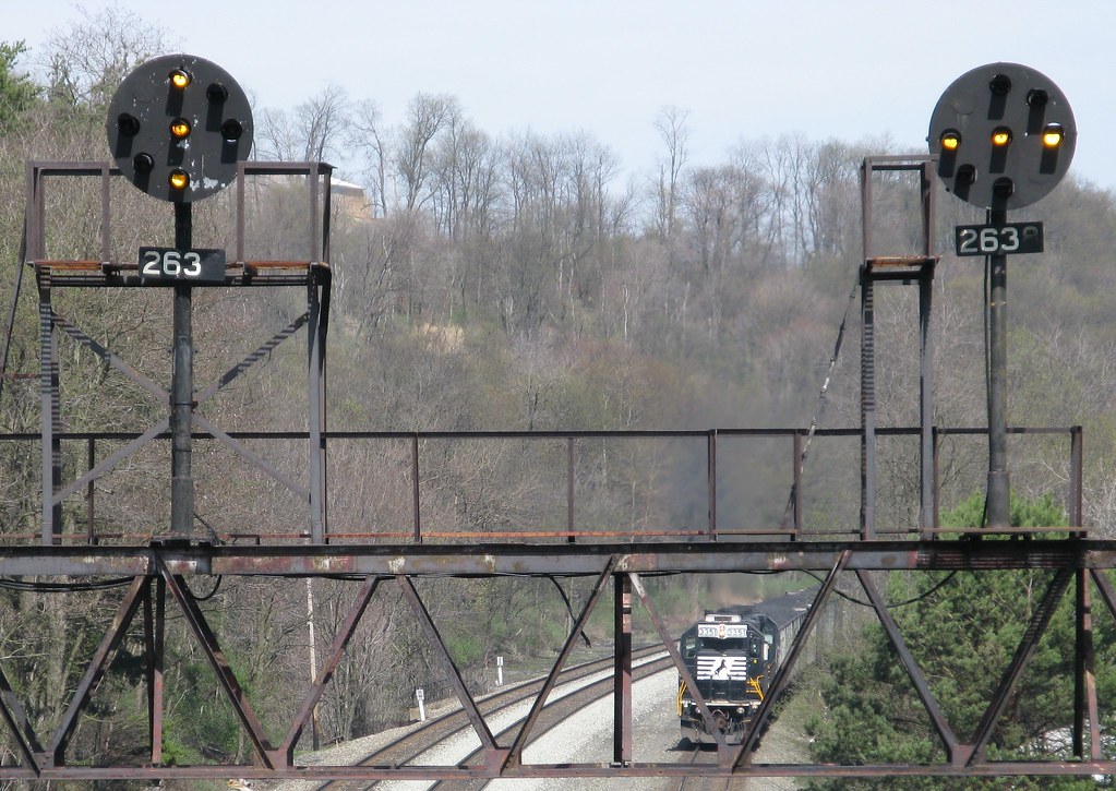
Sang Hollow Extension
One Shot #35 | Field
Hinckston Run Reservoir

Laurel Ridge State Park
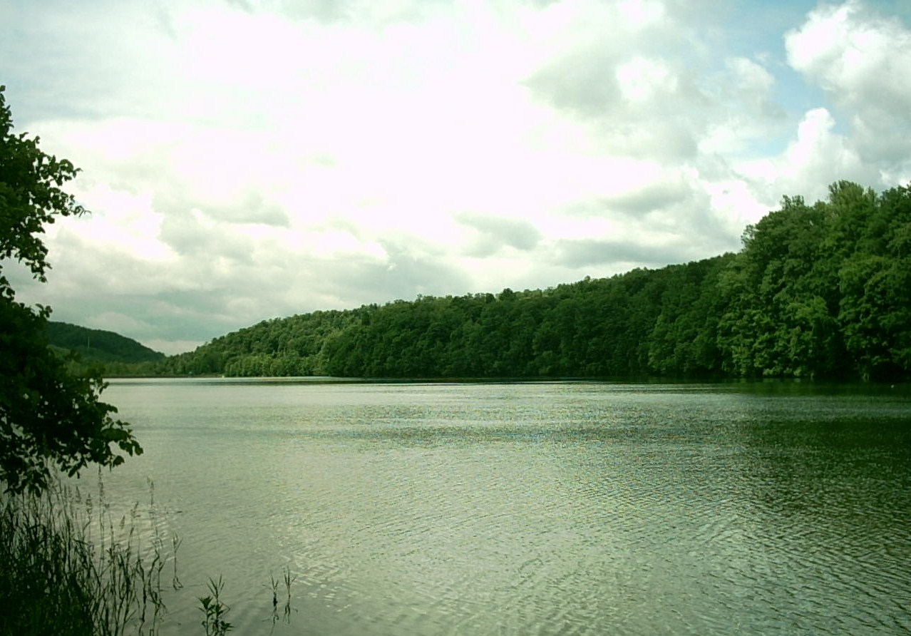
Conemaugh River Quest
The Conemaugh Generating Station deep mine water run off ponding

Such a beautiful town...been destroyed 3x by floods. We visited the Flood Museum and the site where the damn was today. Pretty tragic but very insightful. #JohnstownPA #JohnstownFlood
We're here!
Beautiful day in Johnstown
Looking out at johnstown pa

The snow, as it dies, gives birth to the fog

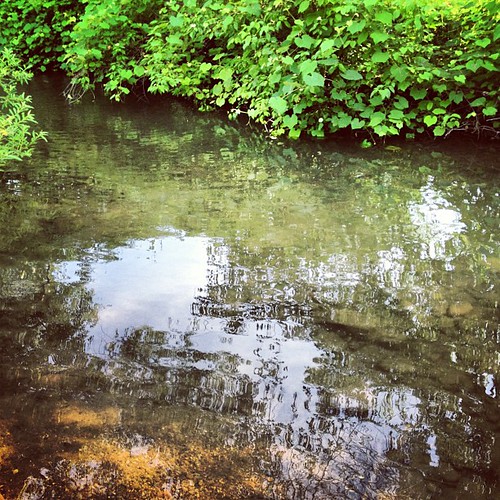
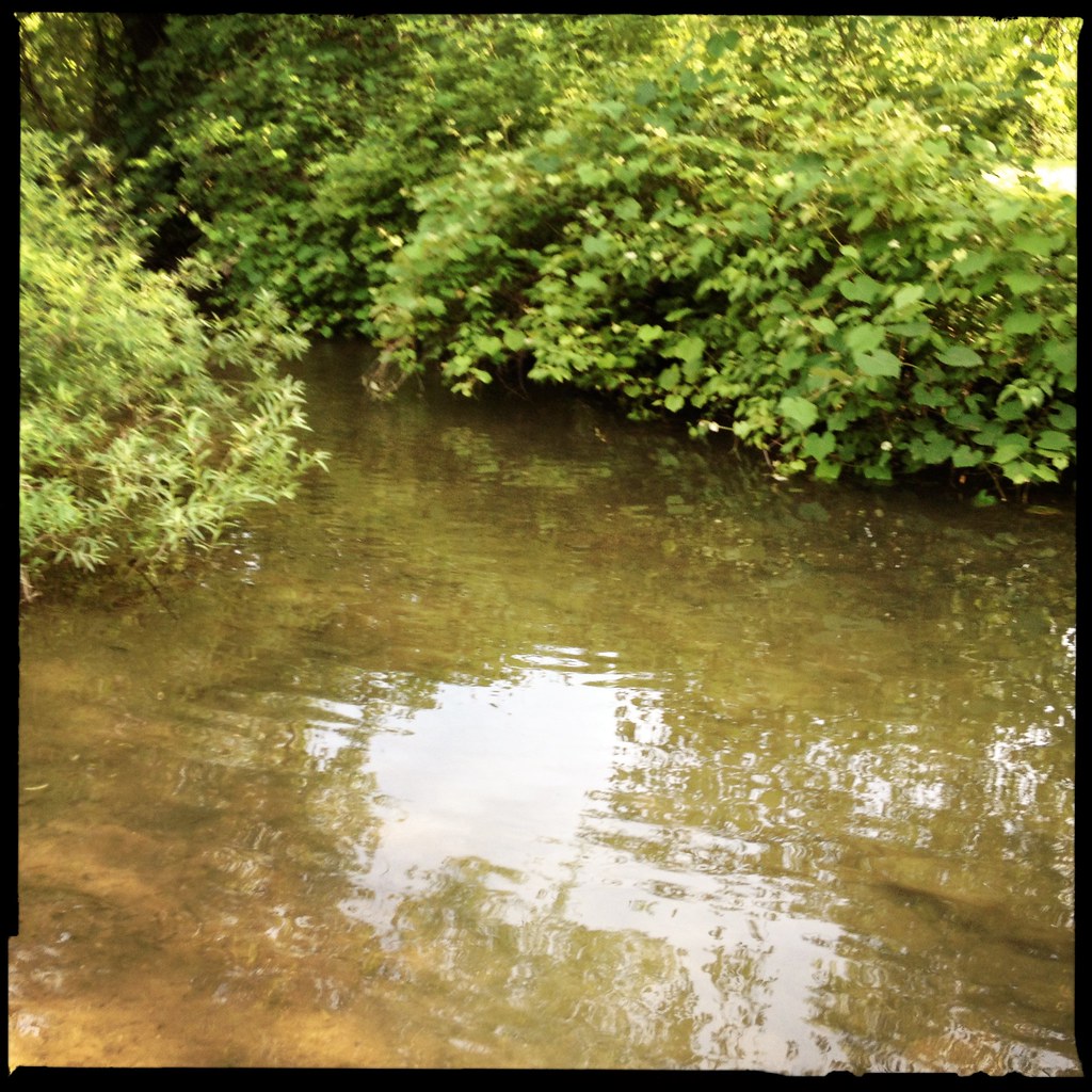
Ben's Creek

Buttermilk Falls -- Indiana County, Pennsylvania
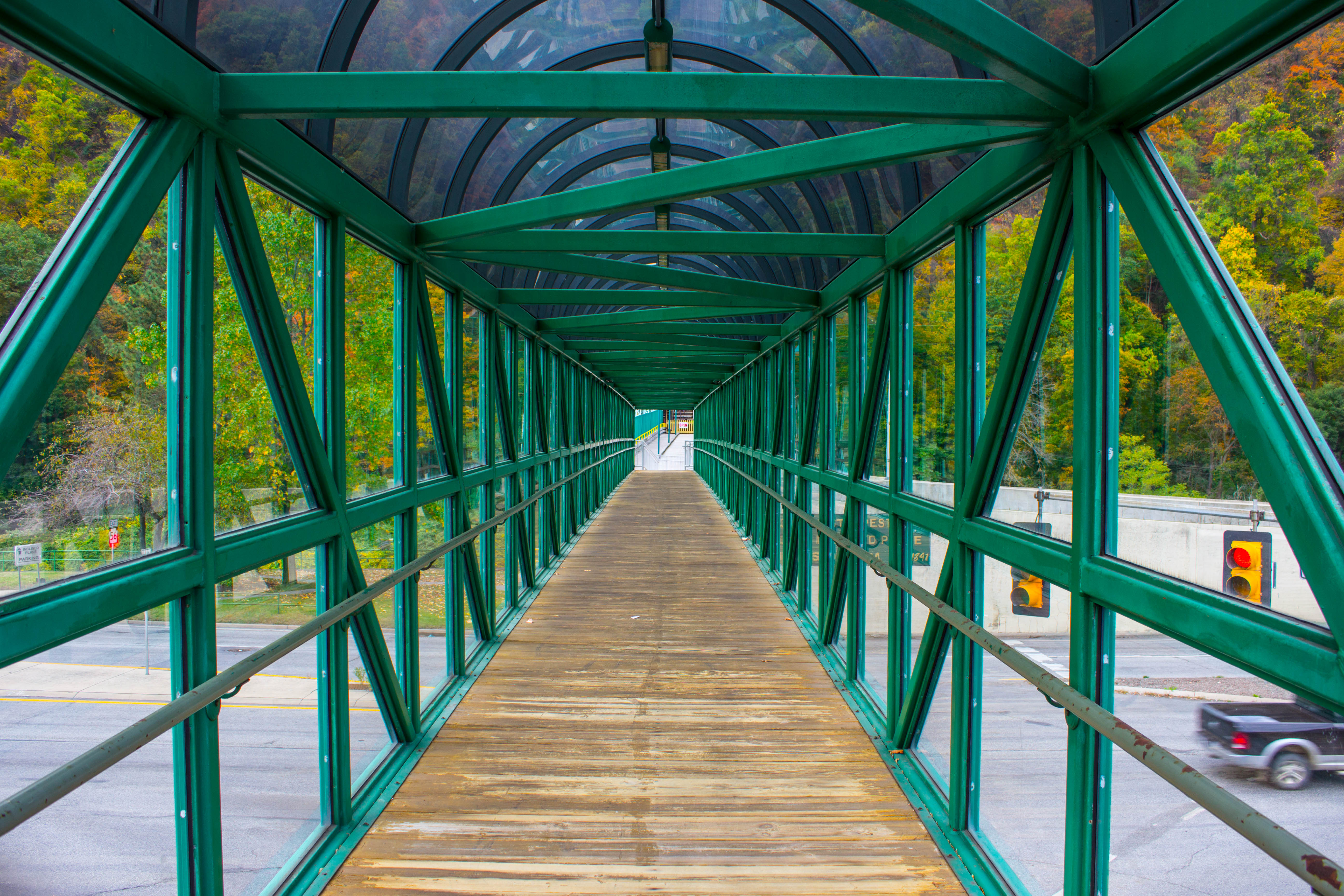
inside a walkway
Looking up at the incline plane
Paint Falls

End of summer/Labor Day Laurel Highlands nature tour.
Paint Falls
Tub Mill Creek
Topographic Map of Broad St, Johnstown, PA, USA
Find elevation by address:

Places near Broad St, Johnstown, PA, USA:
Broad St, Johnstown, PA, USA
123 Taft St
84 Iron St
16 Oakhurst Homes, Johnstown, PA, USA
101 Main St
264 Wilson St
Johnstown
1828 Goucher St
421 Wayne St
1781 Goucher St
700 Cooper Ave
606 Sherman St
626 Millcreek Rd
626 Millcreek Rd
626 Millcreek Rd
626 Millcreek Rd
626 Millcreek Rd
Sherman Street
1605 Emmett Dr
240 Judith Dr
Recent Searches:
- Elevation of Corso Fratelli Cairoli, 35, Macerata MC, Italy
- Elevation of Tallevast Rd, Sarasota, FL, USA
- Elevation of 4th St E, Sonoma, CA, USA
- Elevation of Black Hollow Rd, Pennsdale, PA, USA
- Elevation of Oakland Ave, Williamsport, PA, USA
- Elevation of Pedrógão Grande, Portugal
- Elevation of Klee Dr, Martinsburg, WV, USA
- Elevation of Via Roma, Pieranica CR, Italy
- Elevation of Tavkvetili Mountain, Georgia
- Elevation of Hartfords Bluff Cir, Mt Pleasant, SC, USA