Elevation of Wilmington Rd, Harveyville, KS, USA
Location: United States > Kansas > Wabaunsee County >
Longitude: -95.9643735
Latitude: 38.744858
Elevation: 361m / 1184feet
Barometric Pressure: 0KPa
Related Photos:
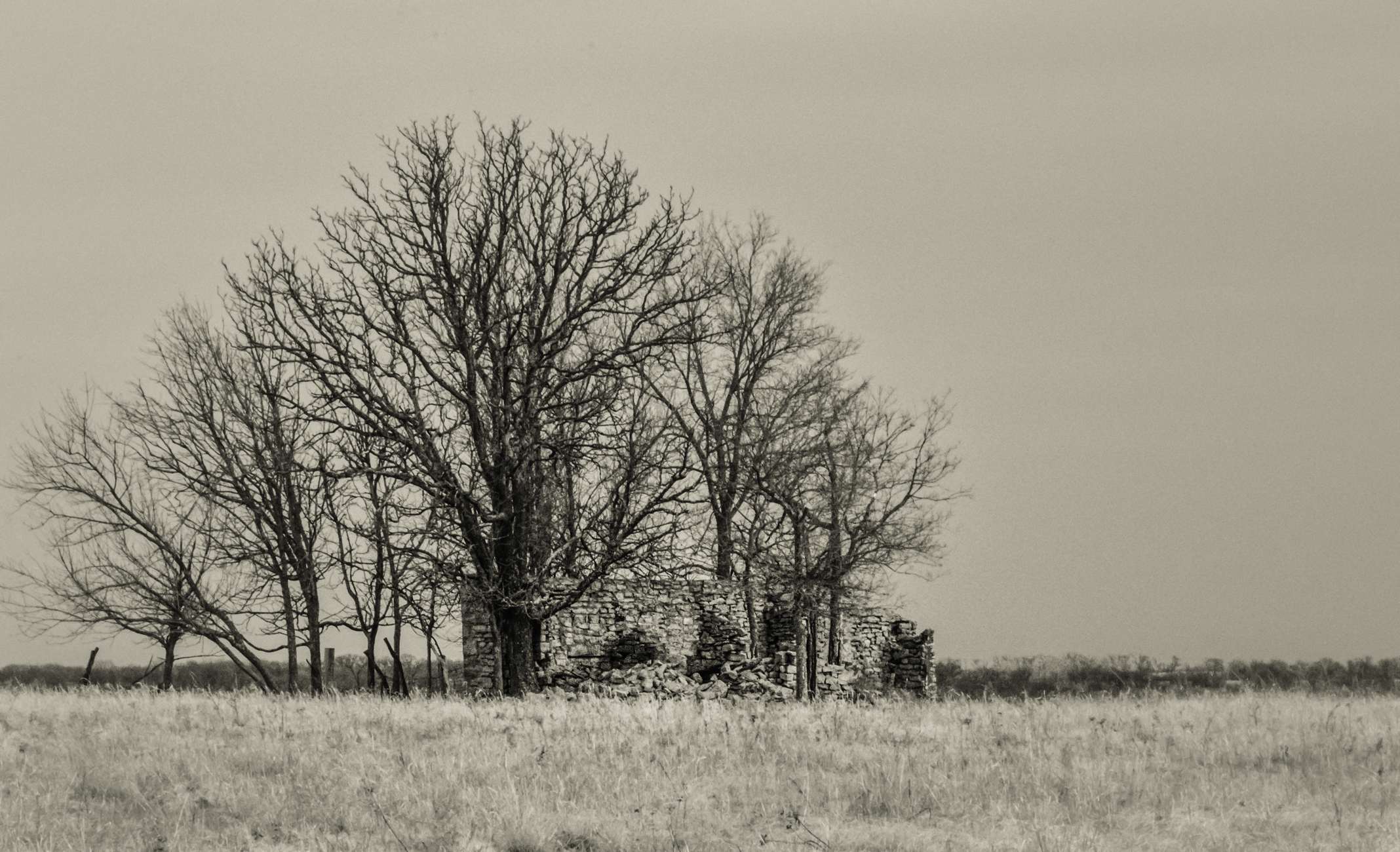
Havana Stage Station Revisted

Ghost trip fall 2012

Floating Leaf
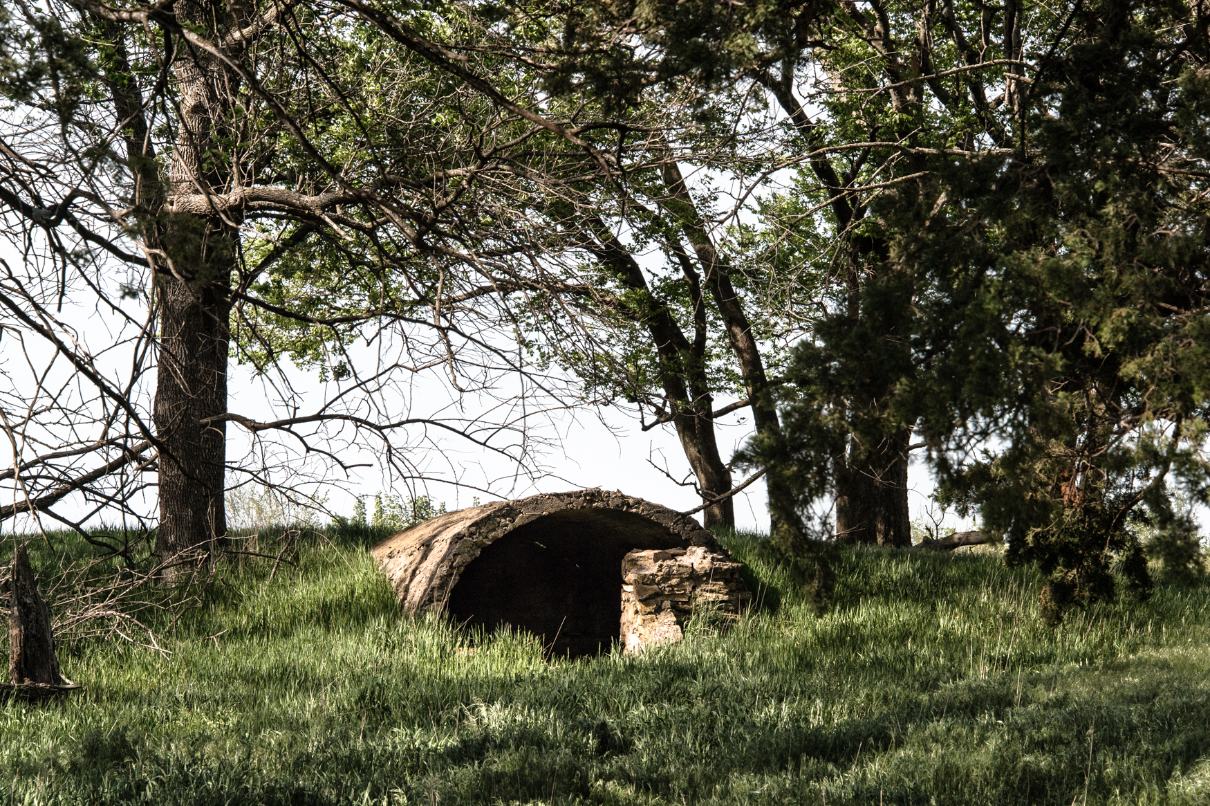
Storm Shelter
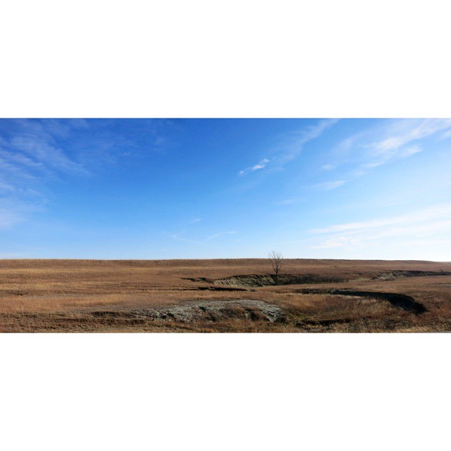
#Kansas #FlintHills

I think there are a lot of naps being had... #knittersofinstagram #spinnersofinstagram #yarnschool

I totally planned to match my yarn to my eyes! #spinnersofinstagram #knittersofinstagram #yarnschool

Stars 2
Topographic Map of Wilmington Rd, Harveyville, KS, USA
Find elevation by address:

Places near Wilmington Rd, Harveyville, KS, USA:
Waterloo
3rd St, Reading, KS, USA
W Santa Fe Ave, Burlingame, KS, USA
Wilmington
Ivy
W th St, Osage City, KS, USA
Ivy St, Admire, KS, USA
Admire
313 E Lord St
Osage City
S 6th St, Osage City, KS, USA
S Main St, Eskridge, KS, USA
Eskridge
S Barclay Rd, Osage City, KS, USA
Barclay
Auburn
Reading
Scranton
Auburn
8741 Sw 85th St
Recent Searches:
- Elevation of Clifton Down, Clifton, Bristol, City of Bristol, England, BS8 3HU, United Kingdom
- Elevation map of Auvergne-Rhône-Alpes, France
- Elevation map of Upper Savoy, Auvergne-Rhône-Alpes, France
- Elevation of Chamonix-Mont-Blanc, Upper Savoy, Auvergne-Rhône-Alpes, France
- Elevation of 908, Northwood Drive, Bridge Field, Chesapeake, Virginia, 23322, USA
- Elevation map of Nagano Prefecture, Japan
- Elevation of 587, Bascule Drive, Oakdale, Stanislaus County, California, 95361, USA
- Elevation of Stadion Wankdorf, Sempachstrasse, Breitfeld, Bern, Bern-Mittelland administrative district, Bern, 3014, Switzerland
- Elevation of Z024, 76, Emil-von-Behring-Straße, Marbach, Marburg, Landkreis Marburg-Biedenkopf, Hesse, 35041, Germany
- Elevation of Gaskill Road, Hunts Cross, Liverpool, England, L24 9PH, United Kingdom
- Elevation of Speke, Liverpool, England, L24 9HD, United Kingdom
- Elevation of Seqirus, 475, Green Oaks Parkway, Holly Springs, Wake County, North Carolina, 27540, USA
- Elevation of Pasing, Munich, Bavaria, 81241, Germany
- Elevation of 24, Auburn Bay Crescent SE, Auburn Bay, Calgary, Alberta, T3M 0A6, Canada
- Elevation of Denver, 2314, Arapahoe Street, Five Points, Denver, Colorado, 80205, USA
- Elevation of Community of the Beatitudes, 2924, West 43rd Avenue, Sunnyside, Denver, Colorado, 80211, USA
- Elevation map of Litang County, Sichuan, China
- Elevation map of Madoi County, Qinghai, China
- Elevation of 3314, Ohio State Route 114, Payne, Paulding County, Ohio, 45880, USA
- Elevation of Sarahills Drive, Saratoga, Santa Clara County, California, 95070, USA