Elevation of S Main St, Eskridge, KS, USA
Location: United States > Kansas > Wabaunsee County > Wilmington > Eskridge >
Longitude: -96.1085343
Latitude: 38.8594801
Elevation: 434m / 1424feet
Barometric Pressure: 0KPa
Related Photos:

14849

DSC04701

Floating Leaf
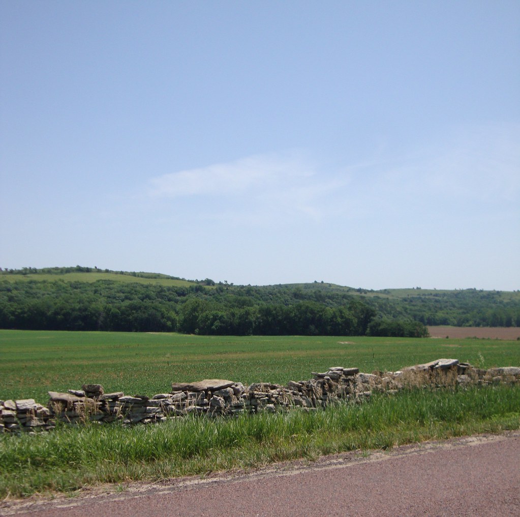
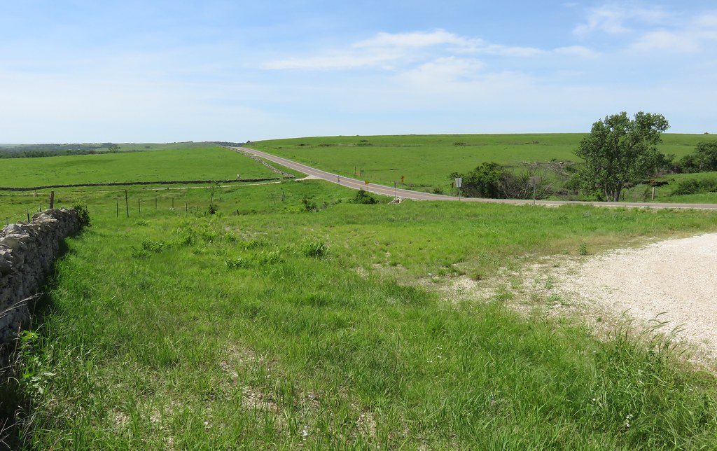
Flint Hills Landscape (Wabaunsee County, Kansas)
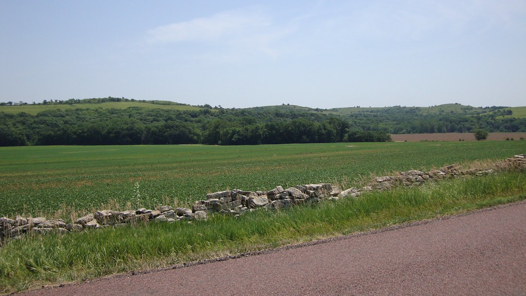
Flint Hills Landscape (Wabaunsee County, Kansas)
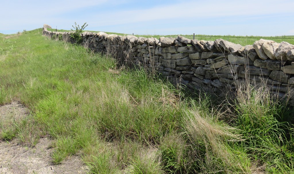
Native Stone Fence and Flint Hills Landscape (Wabaunsee County, Kansas)
Native Stone Fence and Flint Hills Landscape (Wabaunsee County, Kansas)
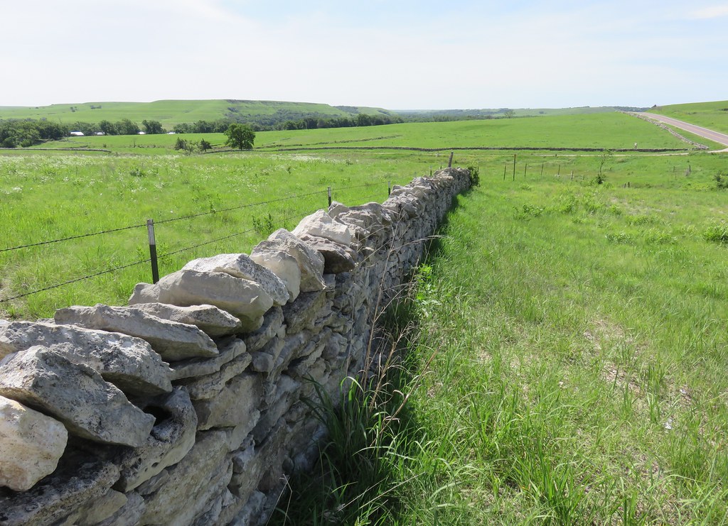
Native Stone Fence and Flint Hills Landscape (Wabaunsee County, Kansas)

Native Stone Fence Marker (Wabaunsee County, Kansas)
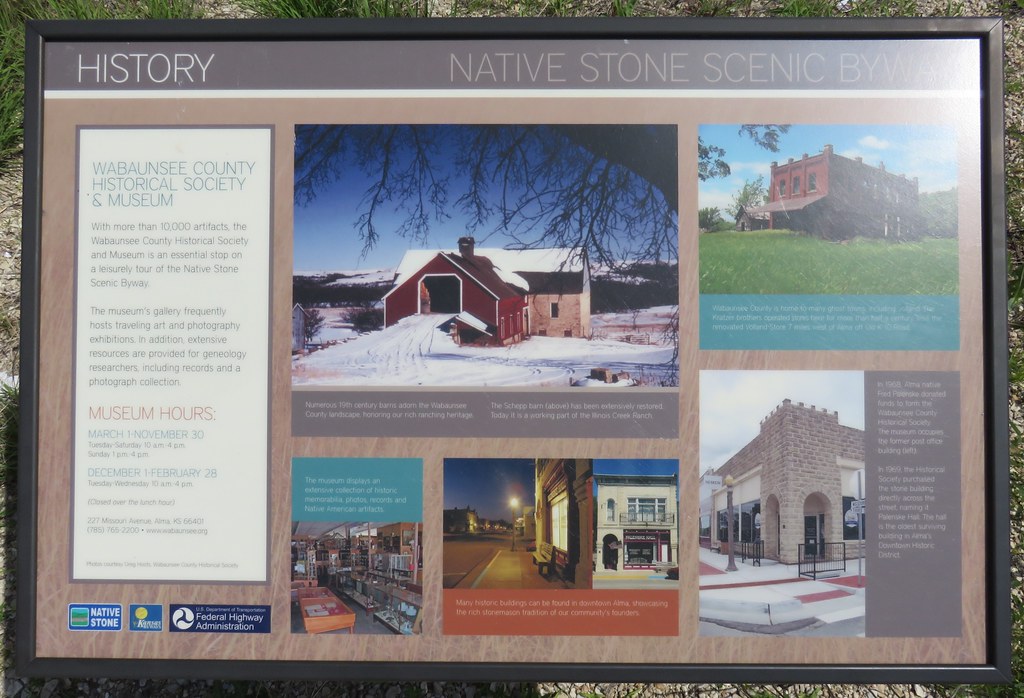
Native Stone Scenic Byway Marker (Wabaunsee County, Kansas)

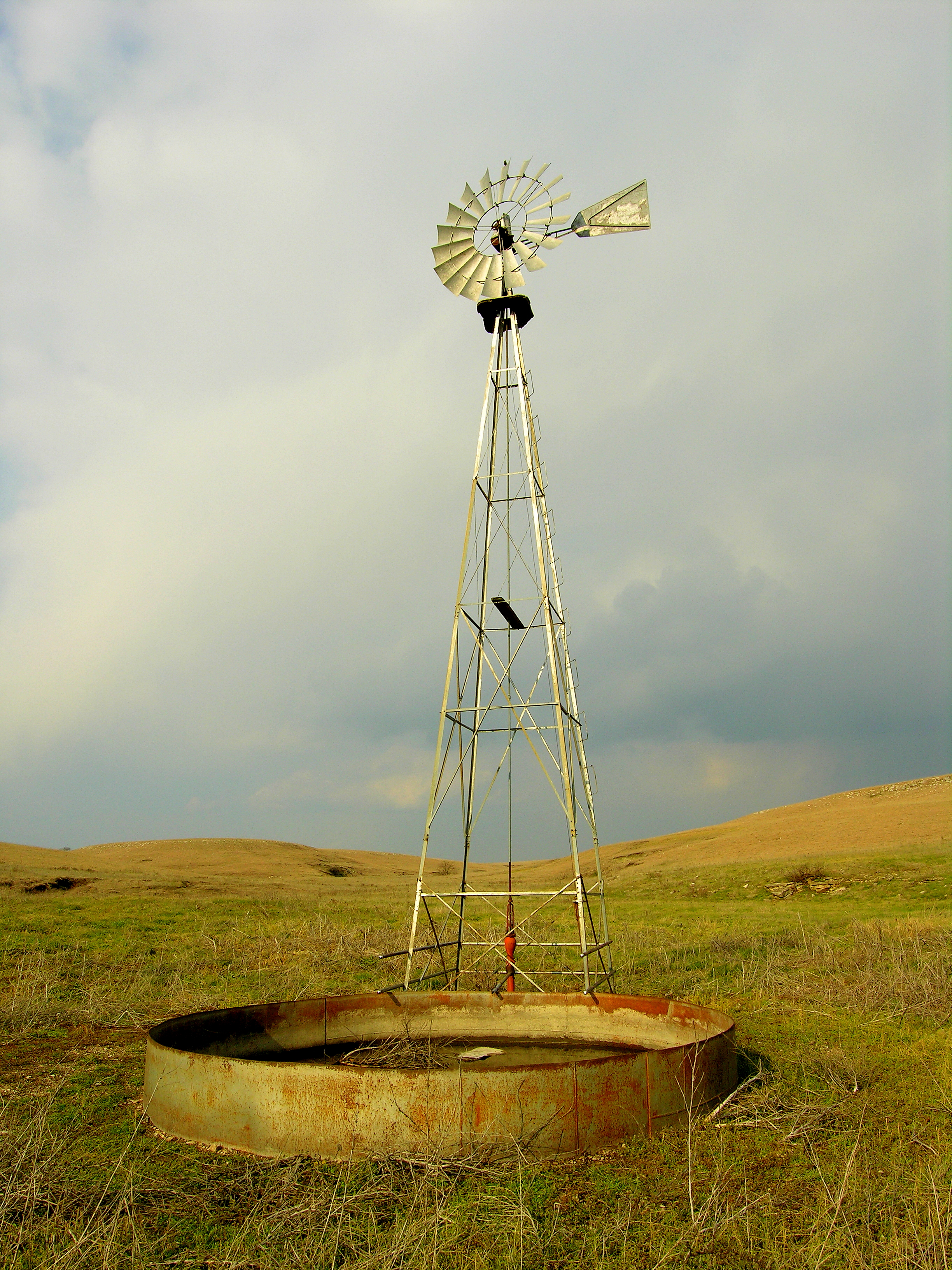
Gunbarrel Ranch
18x12_DSCN4578-1

Storm Shelter
Topographic Map of S Main St, Eskridge, KS, USA
Find elevation by address:

Places near S Main St, Eskridge, KS, USA:
Eskridge
Wilmington
Wabaunsee County
Wilmington Rd, Harveyville, KS, USA
Newbury
Maple Hill
Waterloo
SW K4 Hwy, Topeka, KS, USA
Buffalo Mound
21287 Nw Snokomo Frontage Rd
Allen
Allen, KS, USA
Paxico
Ivy St, Admire, KS, USA
Admire
Ivy
Agnes City
Maple Hill
Alma
4th St, Maple Hill, KS, USA
Recent Searches:
- Elevation map of Litang County, Sichuan, China
- Elevation map of Madoi County, Qinghai, China
- Elevation of 3314, Ohio State Route 114, Payne, Paulding County, Ohio, 45880, USA
- Elevation of Sarahills Drive, Saratoga, Santa Clara County, California, 95070, USA
- Elevation of Town of Bombay, Franklin County, New York, USA
- Elevation of 9, Convent Lane, Center Moriches, Suffolk County, New York, 11934, USA
- Elevation of Saint Angelas Convent, 9, Convent Lane, Center Moriches, Suffolk County, New York, 11934, USA
- Elevation of 131st Street Southwest, Mukilteo, Snohomish County, Washington, 98275, USA
- Elevation of 304, Harrison Road, Naples, Cumberland County, Maine, 04055, USA
- Elevation of 2362, Timber Ridge Road, Harrisburg, Cabarrus County, North Carolina, 28075, USA
- Elevation of Ridge Road, Marshalltown, Marshall County, Iowa, 50158, USA
- Elevation of 2459, Misty Shadows Drive, Pigeon Forge, Sevier County, Tennessee, 37862, USA
- Elevation of 8043, Brightwater Way, Spring Hill, Williamson County, Tennessee, 37179, USA
- Elevation of Starkweather Road, San Luis, Costilla County, Colorado, 81152, USA
- Elevation of 5277, Woodside Drive, Baton Rouge, East Baton Rouge Parish, Louisiana, 70808, USA
- Elevation of 1139, Curtin Street, Shepherd Park Plaza, Houston, Harris County, Texas, 77018, USA
- Elevation of 136, Sellers Lane, Repton, Monroe County, Alabama, 36475, USA
- Elevation of 12914, Elmington Drive, Lakewood Forest, Houston, Harris County, Texas, 77429, USA
- Elevation of 417, Camelot Drive, Statesville, Iredell County, North Carolina, 28625, USA
- Elevation of 5792, Wildridge Road, Avon, Eagle County, Colorado, 81620, USA