Elevation of Eskridge, KS, USA
Location: United States > Kansas > Wabaunsee County > Wilmington >
Longitude: -96.1091595
Latitude: 38.8588923
Elevation: 433m / 1421feet
Barometric Pressure: 0KPa
Related Photos:

14849
DSC04701
18x12_DSCN4578-1
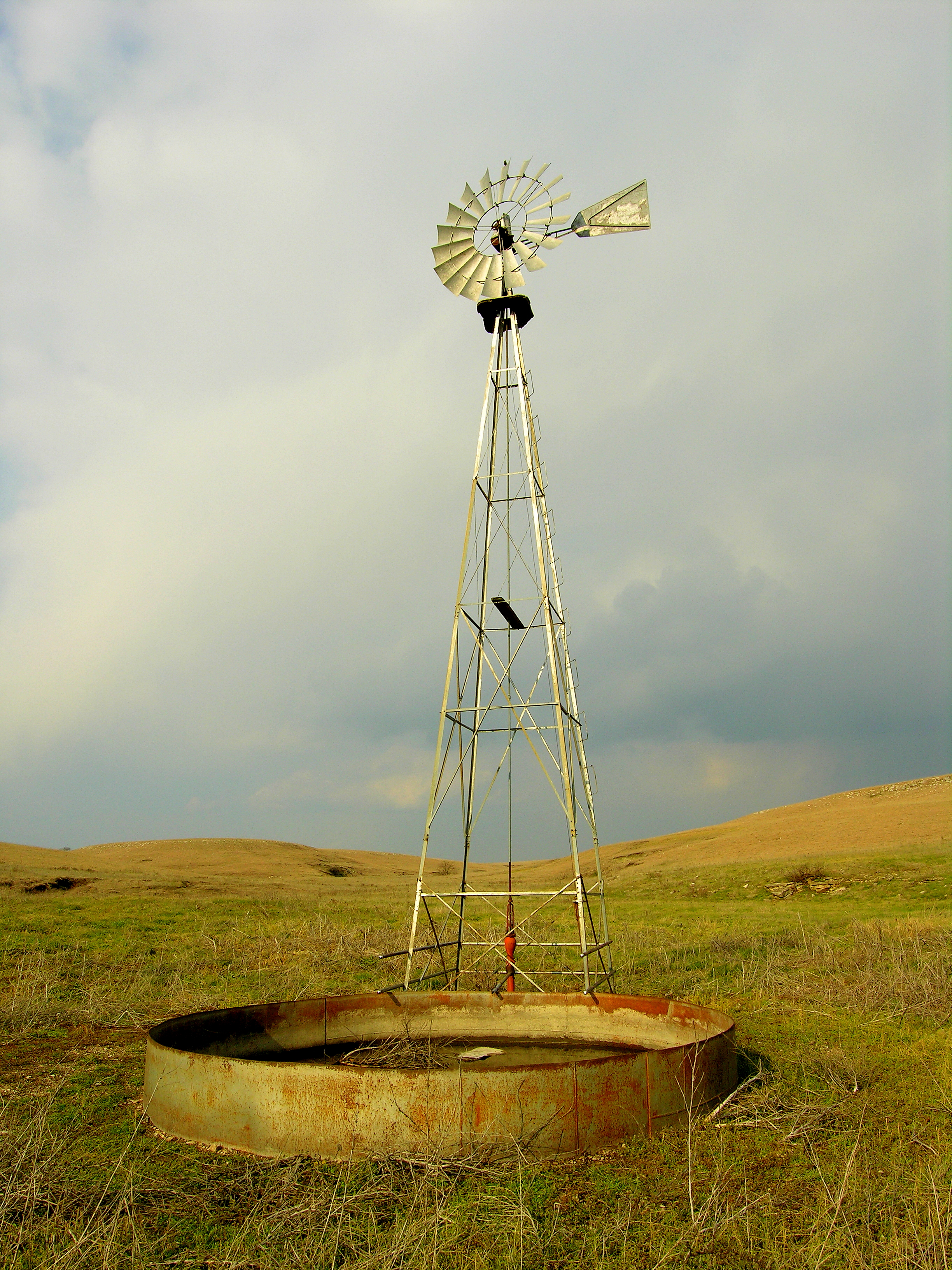
Gunbarrel Ranch
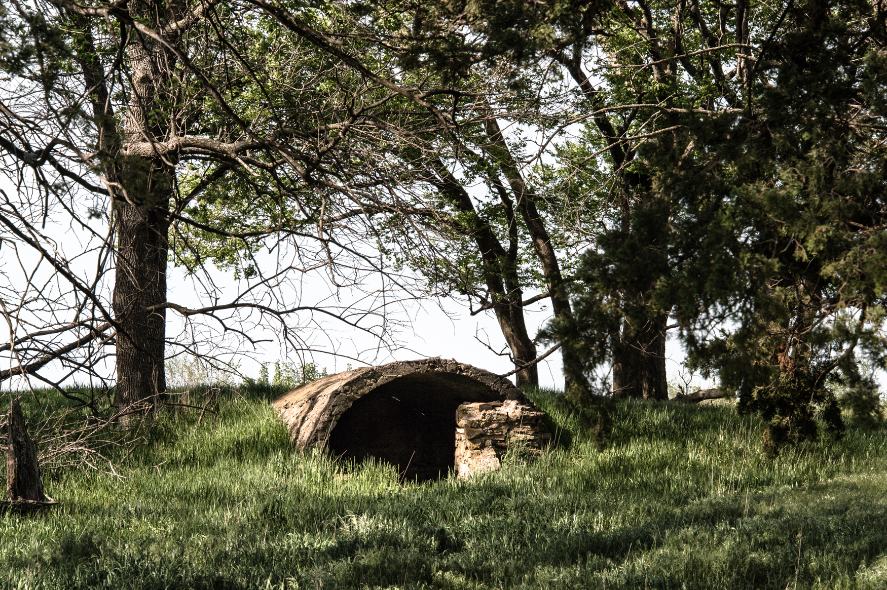
Storm Shelter
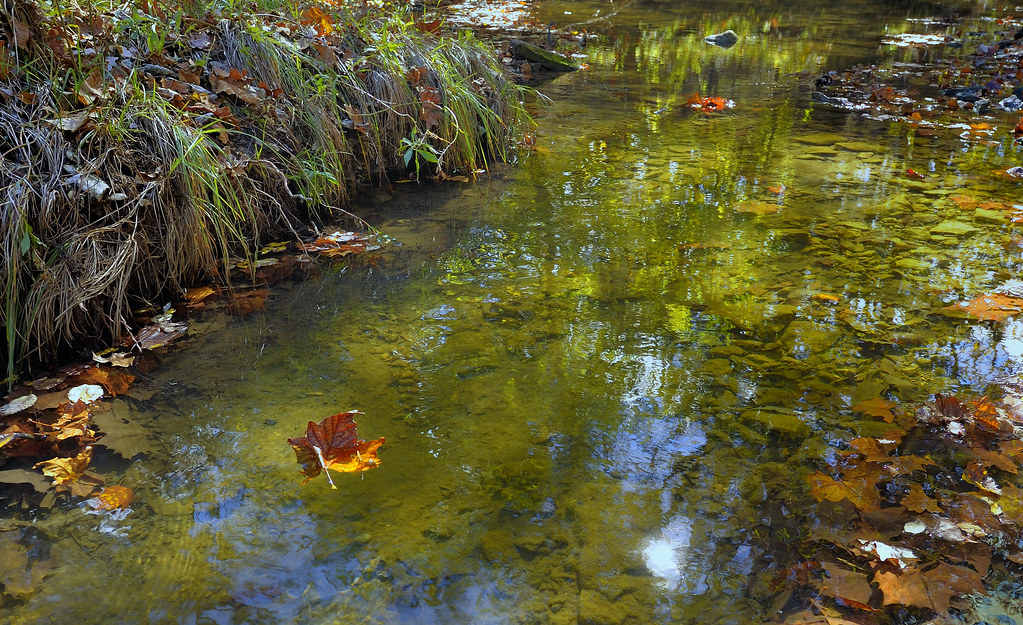
Floating Leaf
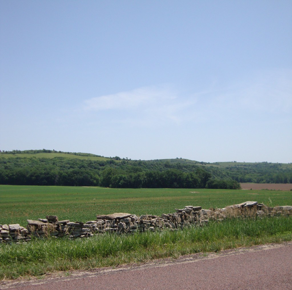
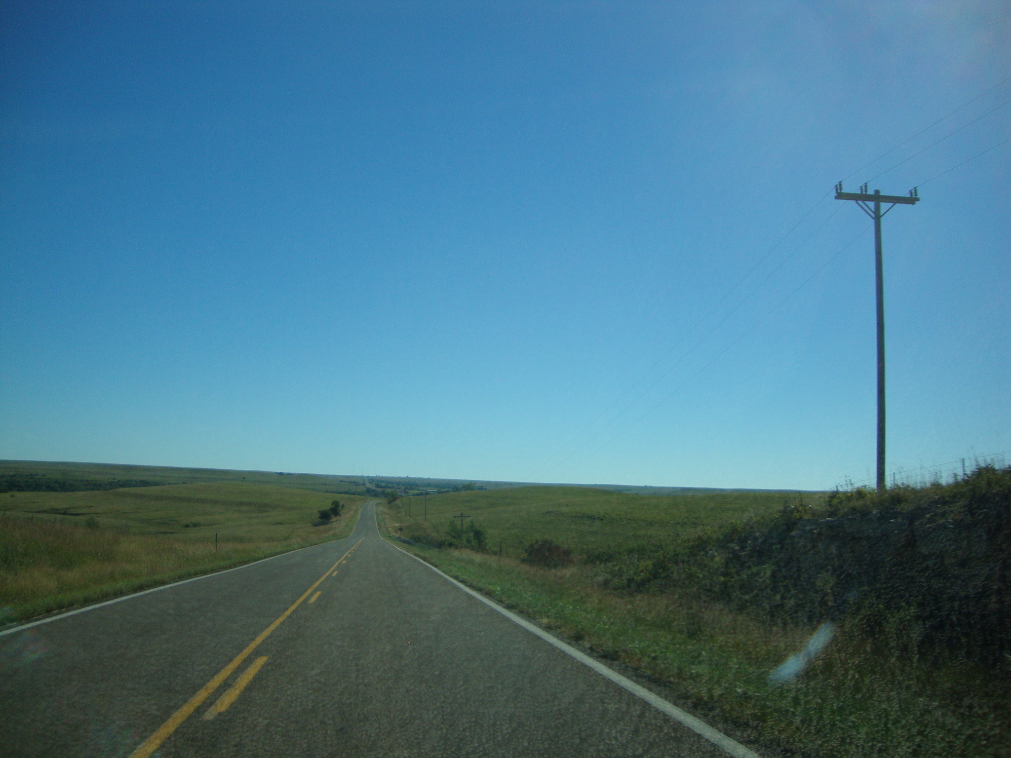
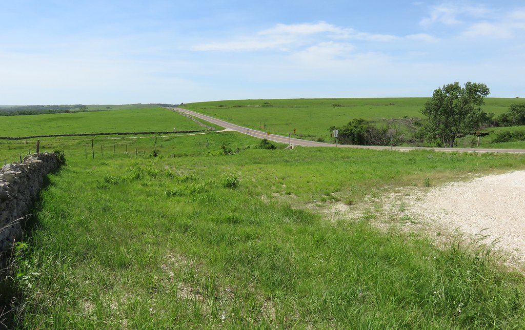
Flint Hills Landscape (Wabaunsee County, Kansas)
Flint Hills Landscape (Wabaunsee County, Kansas)

Native Stone Fence Marker (Wabaunsee County, Kansas)
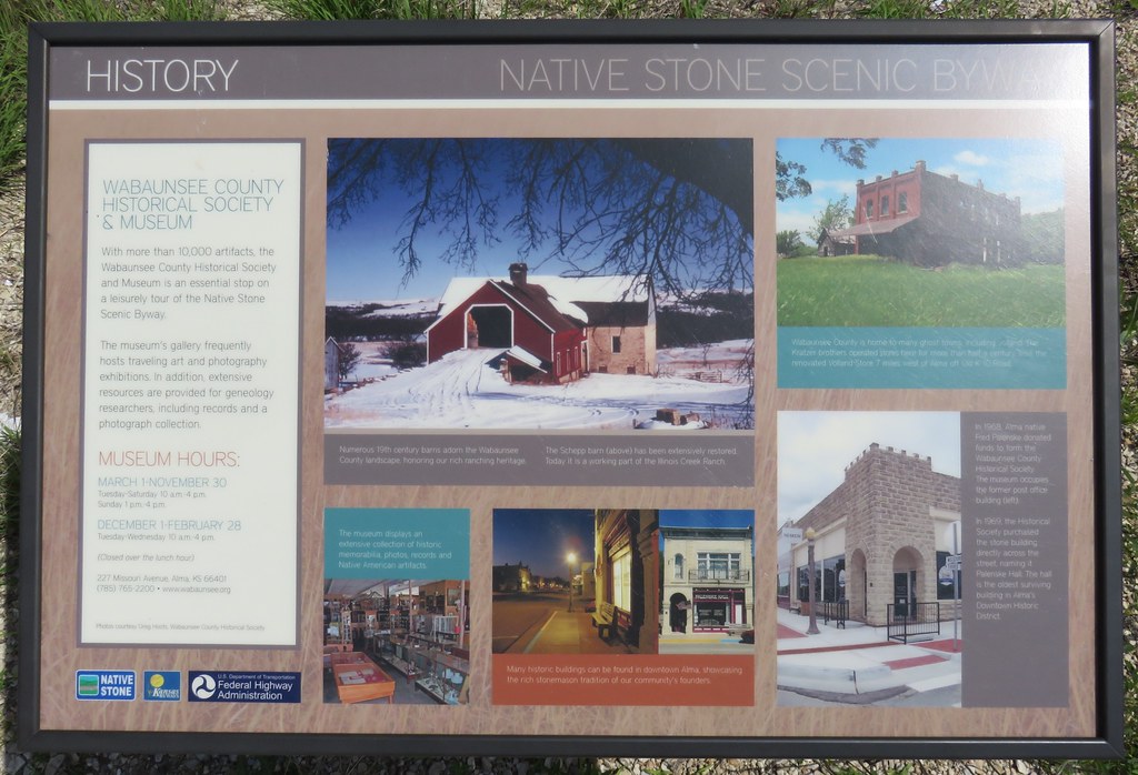
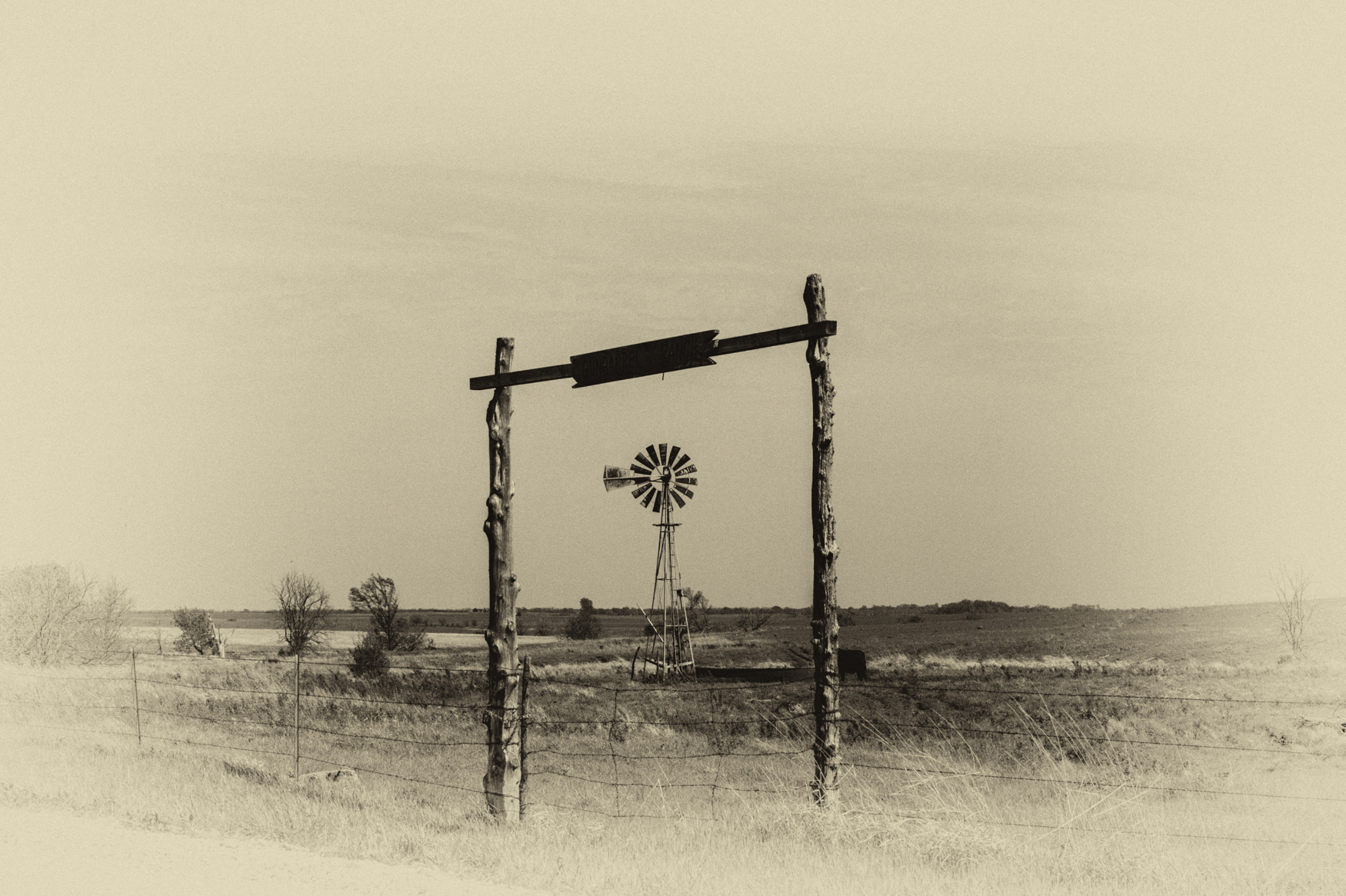
Native Stone Scenic Byway Marker (Wabaunsee County, Kansas)
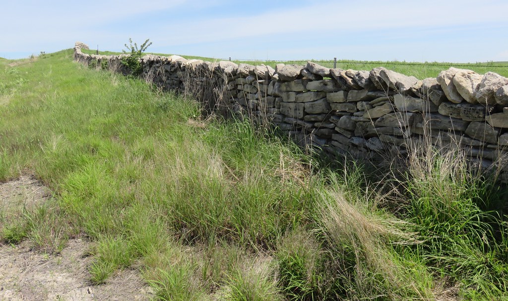
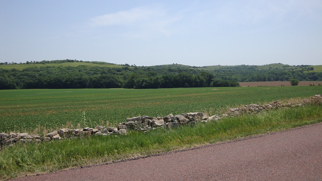
Native Stone Fence and Flint Hills Landscape (Wabaunsee County, Kansas)
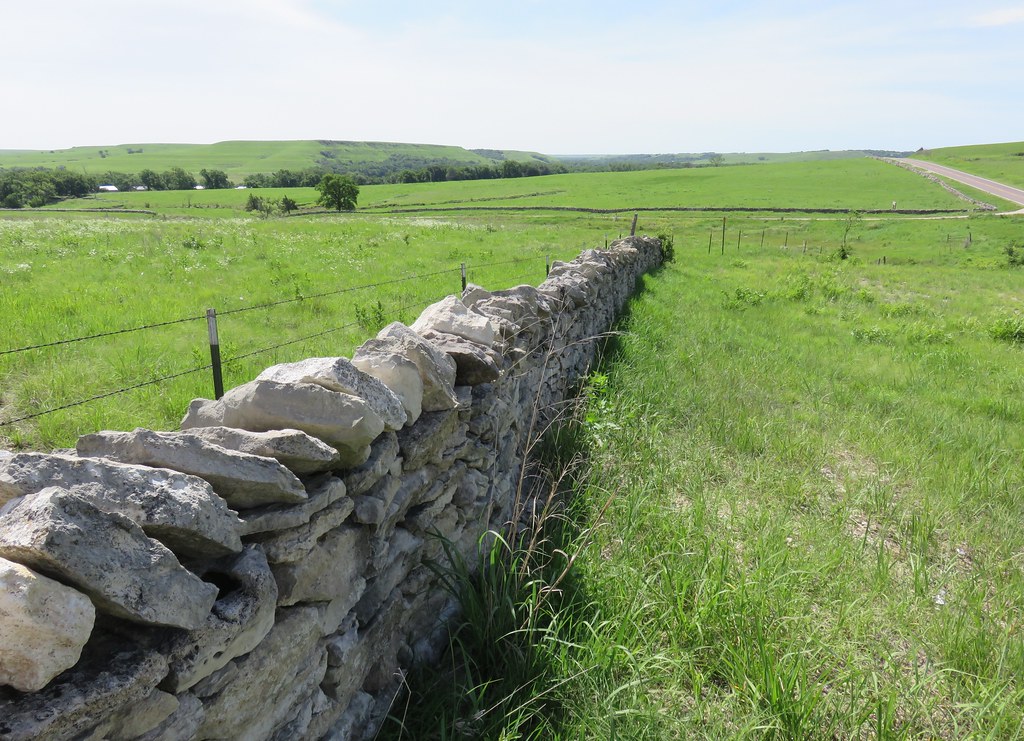
Native Stone Fence and Flint Hills Landscape (Wabaunsee County, Kansas)
Native Stone Fence and Flint Hills Landscape (Wabaunsee County, Kansas)
Topographic Map of Eskridge, KS, USA
Find elevation by address:

Places in Eskridge, KS, USA:
Places near Eskridge, KS, USA:
S Main St, Eskridge, KS, USA
Wilmington
Wabaunsee County
Wilmington Rd, Harveyville, KS, USA
Newbury
Maple Hill
Waterloo
SW K4 Hwy, Topeka, KS, USA
Buffalo Mound
21287 Nw Snokomo Frontage Rd
Allen, KS, USA
Allen
Ivy St, Admire, KS, USA
Admire
Paxico
Ivy
Agnes City
Alma
Maple Hill
4th St, Maple Hill, KS, USA
Recent Searches:
- Elevation of 10370, West 107th Circle, Westminster, Jefferson County, Colorado, 80021, USA
- Elevation of 611, Roman Road, Old Ford, Bow, London, England, E3 2RW, United Kingdom
- Elevation of 116, Beartown Road, Underhill, Chittenden County, Vermont, 05489, USA
- Elevation of Window Rock, Colfax County, New Mexico, 87714, USA
- Elevation of 4807, Rosecroft Street, Kempsville Gardens, Virginia Beach, Virginia, 23464, USA
- Elevation map of Matawinie, Quebec, Canada
- Elevation of Sainte-Émélie-de-l'Énergie, Matawinie, Quebec, Canada
- Elevation of Rue du Pont, Sainte-Émélie-de-l'Énergie, Matawinie, Quebec, J0K2K0, Canada
- Elevation of 8, Rue de Bécancour, Blainville, Thérèse-De Blainville, Quebec, J7B1N2, Canada
- Elevation of Wilmot Court North, 163, University Avenue West, Northdale, Waterloo, Region of Waterloo, Ontario, N2L6B6, Canada
- Elevation map of Panamá Province, Panama
- Elevation of Balboa, Panamá Province, Panama
- Elevation of San Miguel, Balboa, Panamá Province, Panama
- Elevation of Isla Gibraleón, San Miguel, Balboa, Panamá Province, Panama
- Elevation of 4655, Krischke Road, Schulenburg, Fayette County, Texas, 78956, USA
- Elevation of Carnegie Avenue, Downtown Cleveland, Cleveland, Cuyahoga County, Ohio, 44115, USA
- Elevation of Walhonding, Coshocton County, Ohio, USA
- Elevation of Clifton Down, Clifton, Bristol, City of Bristol, England, BS8 3HU, United Kingdom
- Elevation map of Auvergne-Rhône-Alpes, France
- Elevation map of Upper Savoy, Auvergne-Rhône-Alpes, France