Elevation of Willisville, AR, USA
Location: United States > Arkansas > Nevada County > Taylor Township >
Longitude: -93.298225
Latitude: 33.5170638
Elevation: 110m / 361feet
Barometric Pressure: 100KPa
Elevation Map:
Satellite Map:
Related Photos:
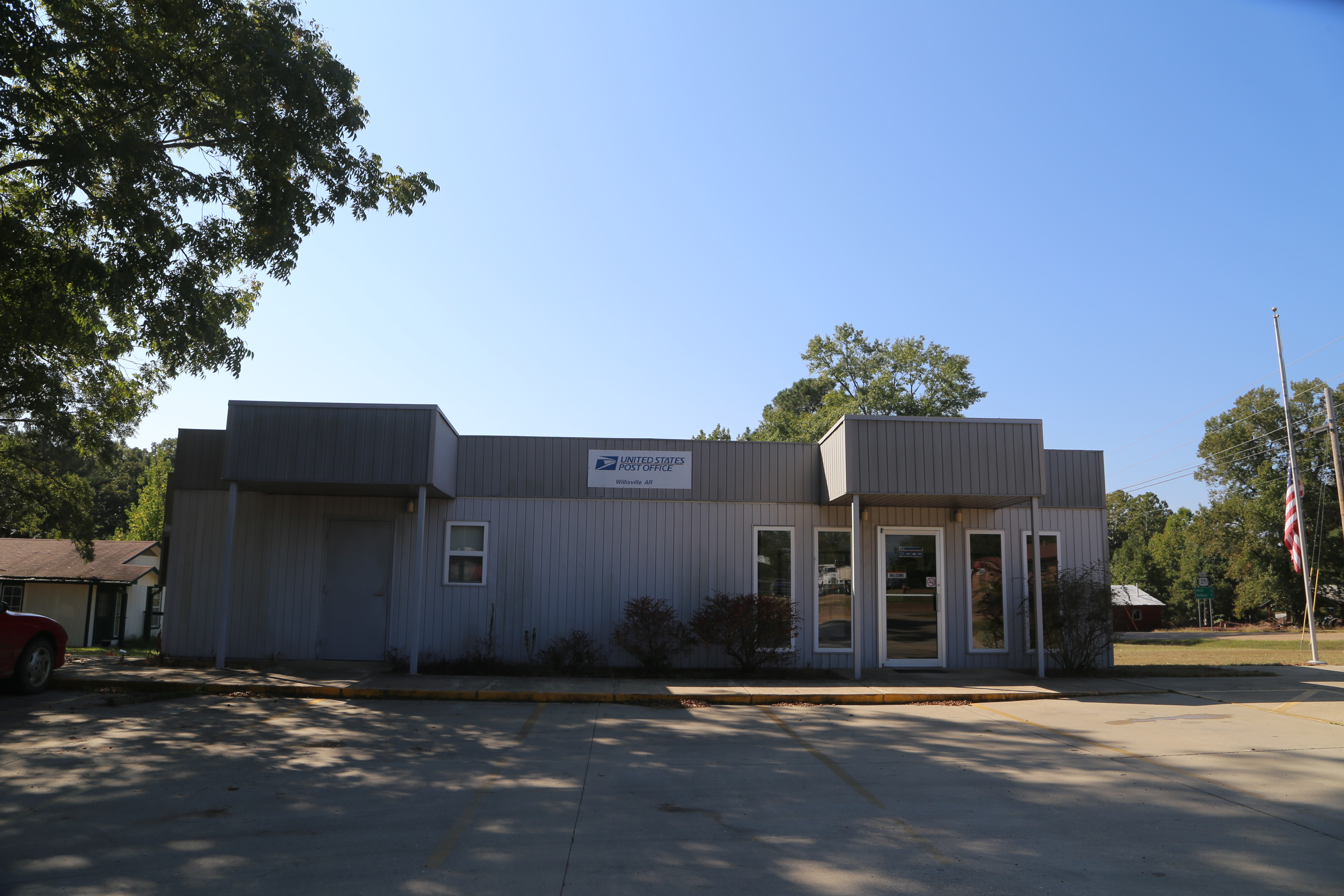
Willisville Akansas, Post Office, 71864, Nevada County AR
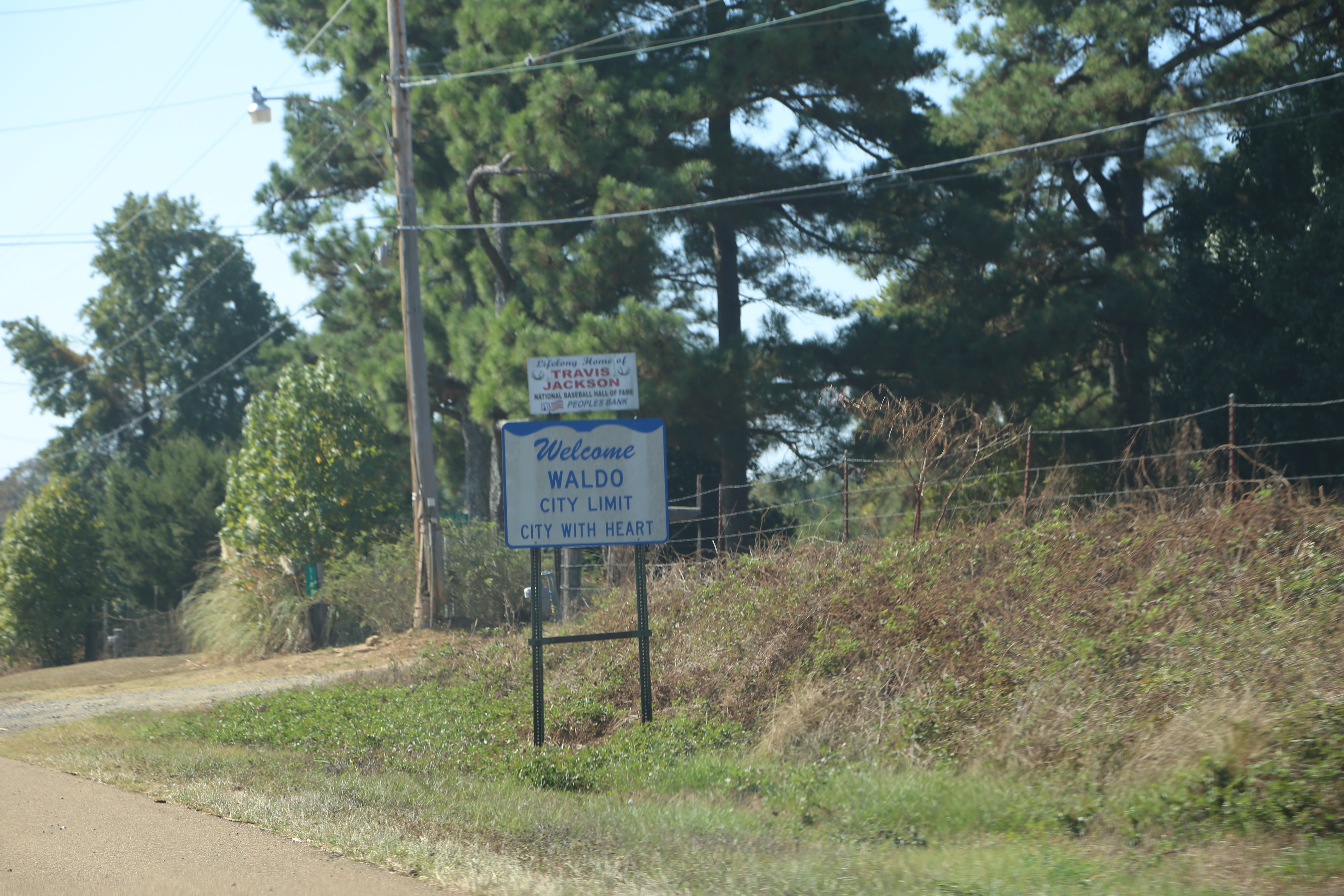
Waldo Arkansas, Columbia County AR
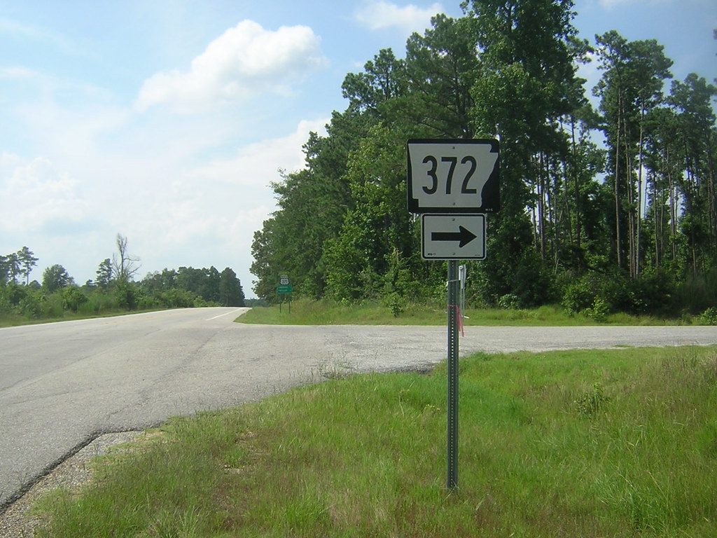
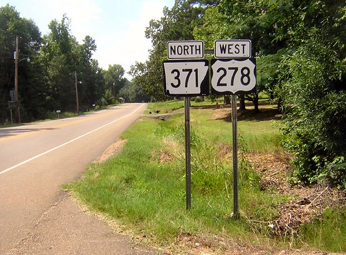
371-372
Arkansas 371
Topographic Map of Willisville, AR, USA
Find elevation by address:

Places in Willisville, AR, USA:
Places near Willisville, AR, USA:
Co Rd 8, Willisville, AR, USA
Taylor Township
Nevada 4 Rd, Willisville, AR, USA
Rosston Hwy, Rosston, AR, USA
298 Nevada 7 Rd
Rosston
Caney Township
Parker Township
Nevada Rd, Rosston, AR, USA
Alabama Township
Bodcaw
Columbia Rd 31, Waldo, AR, USA
Cale
Westmoreland Dr, Rosston, AR, USA
US-, Waldo, AR, USA
AR-53, Buckner, AR, USA
US-, Rosston, AR, USA
US-, Rosston, AR, USA
Waldo Township
Columbia Rd 62 W, McNeil, AR, USA
Recent Searches:
- Elevation of Corso Fratelli Cairoli, 35, Macerata MC, Italy
- Elevation of Tallevast Rd, Sarasota, FL, USA
- Elevation of 4th St E, Sonoma, CA, USA
- Elevation of Black Hollow Rd, Pennsdale, PA, USA
- Elevation of Oakland Ave, Williamsport, PA, USA
- Elevation of Pedrógão Grande, Portugal
- Elevation of Klee Dr, Martinsburg, WV, USA
- Elevation of Via Roma, Pieranica CR, Italy
- Elevation of Tavkvetili Mountain, Georgia
- Elevation of Hartfords Bluff Cir, Mt Pleasant, SC, USA