Elevation of Alabama Township, AR, USA
Location: United States > Arkansas > Nevada County >
Longitude: -93.409462
Latitude: 33.4924805
Elevation: 117m / 384feet
Barometric Pressure: 100KPa
Elevation Map:
Satellite Map:
Related Photos:
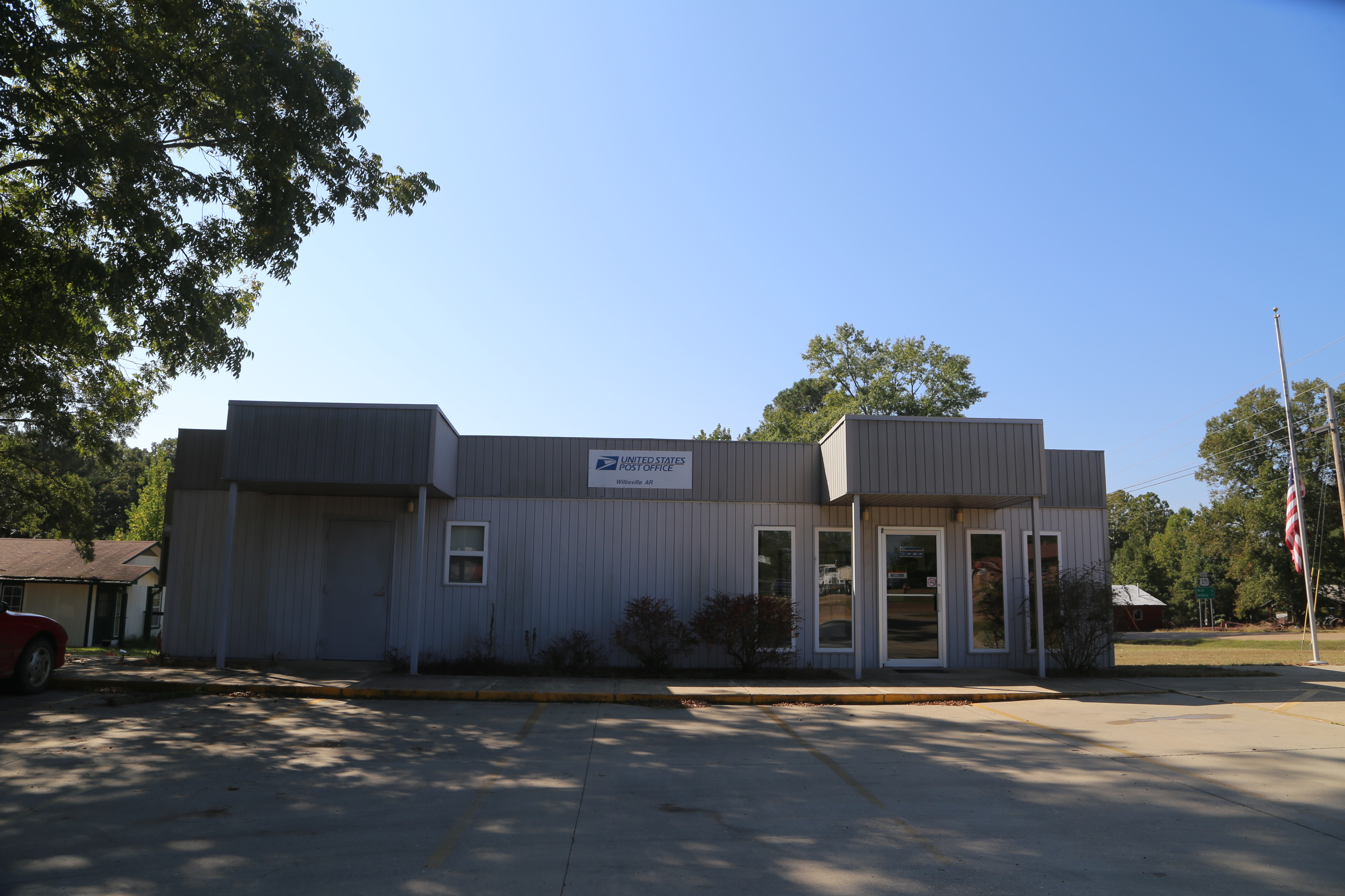
Willisville Akansas, Post Office, 71864, Nevada County AR

Old broken down shed in rural Arkansas, snapped with the Nokia Lumia 1020

Stopped for a frito chili pie and cherry limeade at our earliest convenience.
Topographic Map of Alabama Township, AR, USA
Find elevation by address:

Places in Alabama Township, AR, USA:
Places near Alabama Township, AR, USA:
AR-53, Buckner, AR, USA
298 Nevada 7 Rd
Parker Township
Nevada Rd, Rosston, AR, USA
Bodcaw
Nevada 4 Rd, Willisville, AR, USA
Columbia Rd 31, Waldo, AR, USA
Willisville
Co Rd 8, Willisville, AR, USA
Hadley Township
Taylor Township
Buckner
W Myrtle St, Buckner, AR, USA
US-82, Stamps, AR, USA
Albany Township
Rosston Hwy, Rosston, AR, USA
US-, Waldo, AR, USA
1116 Gravel St
Columbia Rd 54, Waldo, AR, USA
Rosston
Recent Searches:
- Elevation of Corso Fratelli Cairoli, 35, Macerata MC, Italy
- Elevation of Tallevast Rd, Sarasota, FL, USA
- Elevation of 4th St E, Sonoma, CA, USA
- Elevation of Black Hollow Rd, Pennsdale, PA, USA
- Elevation of Oakland Ave, Williamsport, PA, USA
- Elevation of Pedrógão Grande, Portugal
- Elevation of Klee Dr, Martinsburg, WV, USA
- Elevation of Via Roma, Pieranica CR, Italy
- Elevation of Tavkvetili Mountain, Georgia
- Elevation of Hartfords Bluff Cir, Mt Pleasant, SC, USA