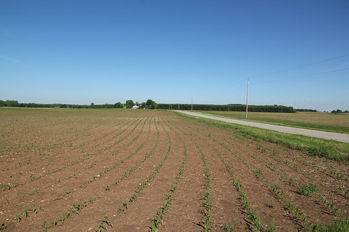
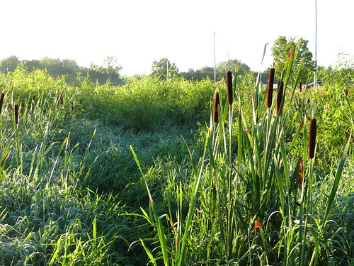
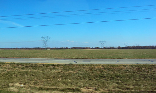
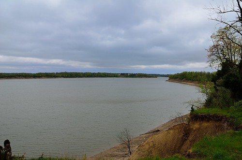
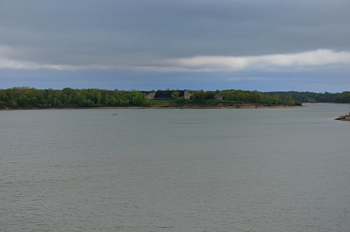
Elevation of Williamsport, OH, USA
Location: United States > Ohio > Pickaway County > Deercreek Township >
Longitude: -83.1204647
Latitude: 39.5858953
Elevation: 235m / 771feet
Barometric Pressure: 0KPa
Related Photos:
Topographic Map of Williamsport, OH, USA
Find elevation by address:

Places in Williamsport, OH, USA:
Places near Williamsport, OH, USA:
Deercreek Township
Kinderhook Rd, Williamsport, OH, USA
Yellowbud
New Holland
322 Yellowbud Rd
18396 Clarks Run Rd
Egypt Pike, Chillicothe, OH, USA
2509 Frankfort Clarksburg Pike
Pickaway County
Congo Road
Union Township
Little Walnut Rd, Circleville, OH, USA
Scioto Township
Scioto-Darby Rd, Orient, OH, USA
Marion Township
Concord Township
Darby Township
Co Hwy 37, Washington Court House, OH, USA
25 E Scioto St, Orient, OH, USA
Commercial Point
Recent Searches:
- Elevation of 2881, Chabot Drive, San Bruno, San Mateo County, California, 94066, USA
- Elevation of 10370, West 107th Circle, Westminster, Jefferson County, Colorado, 80021, USA
- Elevation of 611, Roman Road, Old Ford, Bow, London, England, E3 2RW, United Kingdom
- Elevation of 116, Beartown Road, Underhill, Chittenden County, Vermont, 05489, USA
- Elevation of Window Rock, Colfax County, New Mexico, 87714, USA
- Elevation of 4807, Rosecroft Street, Kempsville Gardens, Virginia Beach, Virginia, 23464, USA
- Elevation map of Matawinie, Quebec, Canada
- Elevation of Sainte-Émélie-de-l'Énergie, Matawinie, Quebec, Canada
- Elevation of Rue du Pont, Sainte-Émélie-de-l'Énergie, Matawinie, Quebec, J0K2K0, Canada
- Elevation of 8, Rue de Bécancour, Blainville, Thérèse-De Blainville, Quebec, J7B1N2, Canada
- Elevation of Wilmot Court North, 163, University Avenue West, Northdale, Waterloo, Region of Waterloo, Ontario, N2L6B6, Canada
- Elevation map of Panamá Province, Panama
- Elevation of Balboa, Panamá Province, Panama
- Elevation of San Miguel, Balboa, Panamá Province, Panama
- Elevation of Isla Gibraleón, San Miguel, Balboa, Panamá Province, Panama
- Elevation of 4655, Krischke Road, Schulenburg, Fayette County, Texas, 78956, USA
- Elevation of Carnegie Avenue, Downtown Cleveland, Cleveland, Cuyahoga County, Ohio, 44115, USA
- Elevation of Walhonding, Coshocton County, Ohio, USA
- Elevation of Clifton Down, Clifton, Bristol, City of Bristol, England, BS8 3HU, United Kingdom
- Elevation map of Auvergne-Rhône-Alpes, France

