Elevation of 25 E Scioto St, Orient, OH, USA

Location: United States > Ohio > Pickaway County > Scioto Township > Commercial Point >

Longitude: -83.057506

Latitude: 39.768151

Elevation: 240m / 787feet

Barometric Pressure: 98KPa

Elevation Map:

elevation map of 25 E Scioto St, Orient, OH, USA
Satellite Map:

Satellite map of 25 E Scioto St, Orient, OH, USA

Related Photos:

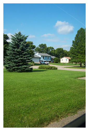
ohio home rural hometown ashville pickawaycounty ashvilleohio pickaway ruralohio 43103 h20photoblog
September 3, 2004
View in Original
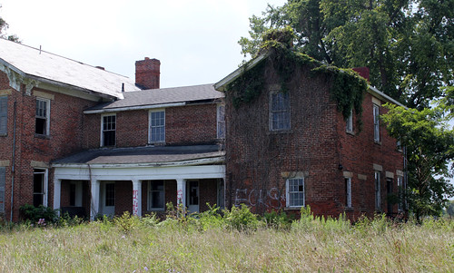
road county old blue school ohio red sky house building brick abandoned field yellow clouds corner franklin corn farm empty hamilton route tape crop caution 23 schoolhouse hartman township rathmell
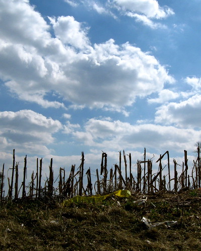
Caution - Cornfield
Lesser Black-backed Gull
county house abandoned south places historic national register bloomfield 1850 1830 renick pickaway
Renick House - South Bloomfield, OH
columbus ohio phoenix skyline golf course 95 links ishota
06/27/2009 | Phoenix Golf Links
Scioto-Darby Road Bridge, creek view, Pickaway County, Ohio
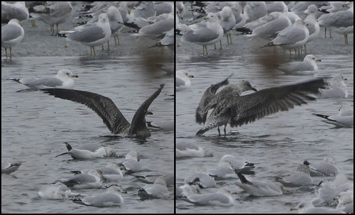
Ring-billed, Herring and 1 Lesser Black-backed Gulls
Florence Bridge, left side creek view, Pickaway County, Ohio
county ohio house brick abandoned greek farm south historic bloomfield revival italianate renick nrhp pickaway
Rear of the Renick House
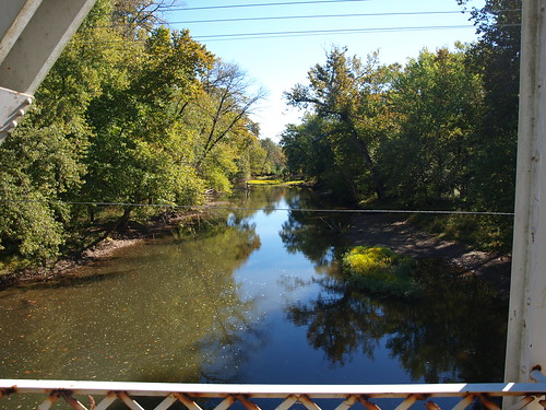
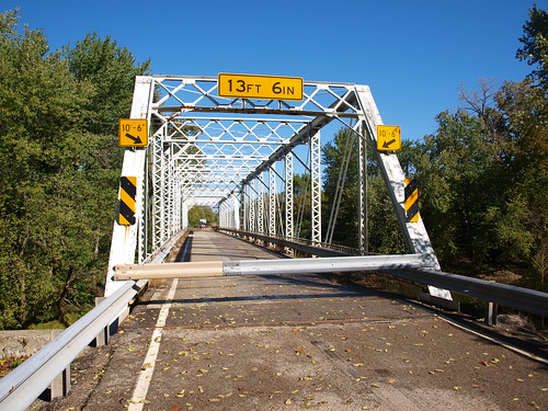
Orient Bridge, left side view, Pickaway County, OH
flower macro zach canon bug mantis insect rebel bokeh praying hdr spradlin xti
Praying Mantis
road ohio red house field canon rebel xt farm country hdr
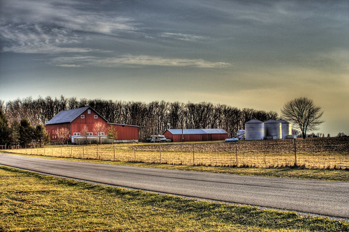
Red Farm House #1
ohio red house field canon rebel xt farm country hdr
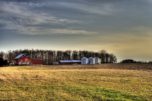
Red Farm House #2
columbus ohio food box packaging grovecity treasurechest donutshop jollypiratedonuts
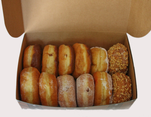
Donuts in Treasure Box
flickrandroidapp:filter=none
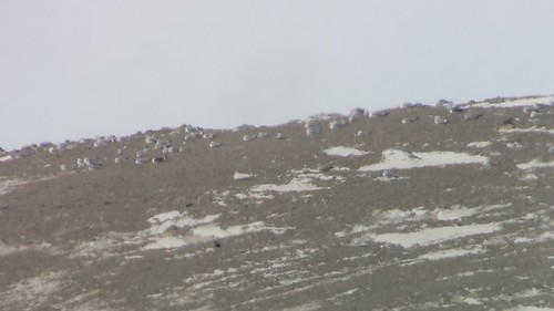
Glaucous, Lesser Black-backed, Herring and Ring-billed Gulls
esgrbosslift
KC-135: View from starboard window
interurban
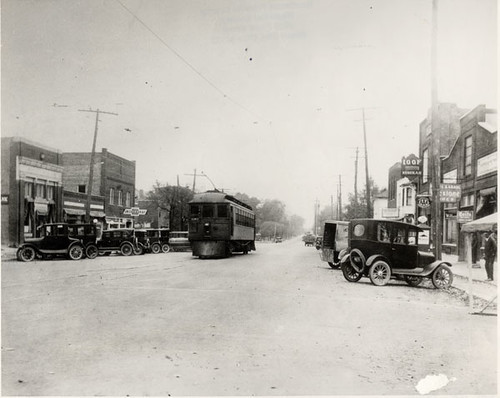
Interurban on Broadway
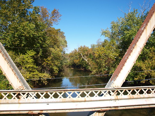
Florence Bridge, right side creek view, Pickaway County, Ohio
Scioto-Darby Road Bridge, cross creek view, Pickaway County, Ohio
esgrbosslift
View from Cockpit of KC-135
square squareformat iphoneography instagramapp uploaded:by=instagram foursquare:venue=4c0ab48d6071a593d410e032
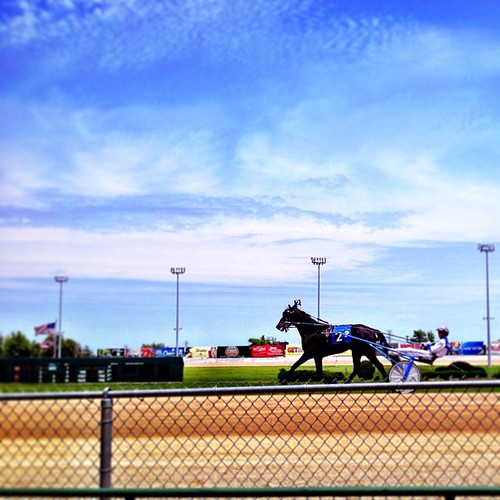
A giant deer foiled our climbing plans & Mikes car, but trying to make up for it at the track. #sciotodowns #racino #amerika

park autumn trees ohio wet water leaves weather creek pond metro cloudy darby fallen battelle 2015
2015-11-21_07-20-35
road trees ohio sky color abandoned field lines electric clouds rural highway open power farm empty south utility pole route southern wires desaturated 23 deserted
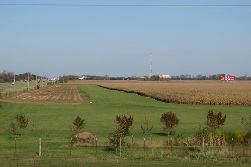
The Open Road
ohio storm weather
Sept Storm 2
trees ohio sky abandoned clouds rural corn decay farm empty south olympus route crib 23 zuiko dilapidated e600 1454mm woodovergrown
Corn Crib
ohio field grass rural airport corn farm aviation farming landing planes oh airports orient runway airstrip airfield landingstrip portojohn generalaviation airfields runways grassrunway ruralohio grassstrip ohioairports portojohnairport 2oh8
Port-O-John 2OH8
uploaded:by=flickrmobile flickriosapp:filter=nofilter
Pretty sky
square toaster squareformat iphoneography instagramapp uploaded:by=instagram foursquare:venue=4bb2452835f0c9b63b0cbb83
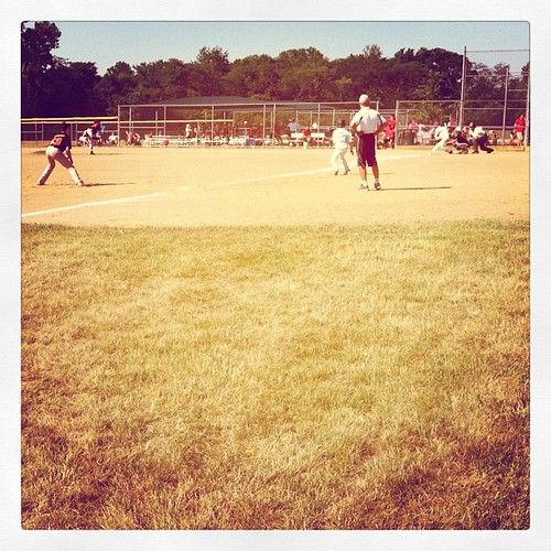
Bases loaded. Full count. Kyle nails it for two RBIs!
uploaded:by=flickrmobile flickriosapp:filter=nofilter
Neapolitan Sky
primarysuccession streamrestoration ecologicalsuccession selfformingstreams overwidechannel fluvialbiogeomorphic
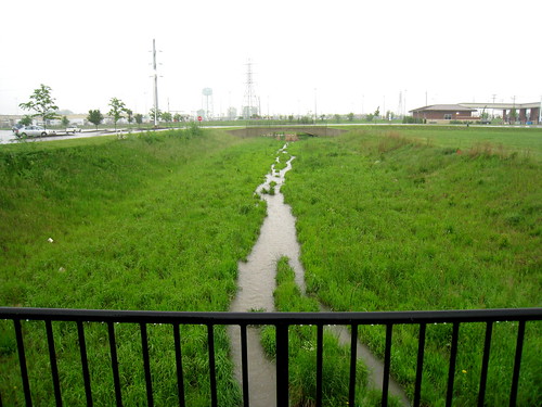
Year 3 2009-06-16 (e)
square squareformat iphoneography instagramapp uploaded:by=instagram foursquare:venue=4db1578e8154905aadbdb0c1
Some nasty looking weather south of #Columbus
road ohio truck photo highway raw nef unitedstates transport semi transportation interstate heavyequipment orient shipping freight trucking bobtail 18wheeler tractortrailer bigrig stockphotography carriers stockimage commercialvehicle 365truckingcom truckstockimagescom
Truck_112012_LR-466.jpg
primarysuccession streamrestoration ecologicalsuccession selfformingstreams overwidechannel fluvialbiogeomorphic
Year 4 2010-05-12 (a)
square squareformat iphoneography instagramapp xproii uploaded:by=instagram foursquare:venue=4f673e37e4b0cded5ef02d4c
Todays shoot location.
road trip bridge light columbus sunset ohio sky window field car clouds highway traffic state overpass driveby 71 route 23 interstate 315
On the Road
road ohio truck photo highway raw nef unitedstates transport semi transportation interstate heavyequipment orient shipping freight trucking 18wheeler tractortrailer bigrig stockphotography carriers stockimage commercialvehicle 365truckingcom truckstockimagescom framprestoneautolite
Truck_112012_LR-461.jpg
road ohio truck photo highway raw nef unitedstates transport semi transportation interstate heavyequipment orient shipping freight trucking 18wheeler tractortrailer bigrig stockphotography carriers stockimage commercialvehicle coveredflatbed 365truckingcom truckstockimagescom
Truck_112012_LR-463.jpg
Field of pumpkins