Elevation of Scioto-Darby Rd, Orient, OH, USA
Location: United States > Ohio > Pickaway County > Scioto Township > Orient >
Longitude: -83.099684
Latitude: 39.764077
Elevation: 257m / 843feet
Barometric Pressure: 98KPa
Elevation Map:
Satellite Map:
Related Photos:

Praying Mantis
September 3, 2004

View in Original

Caution - Cornfield
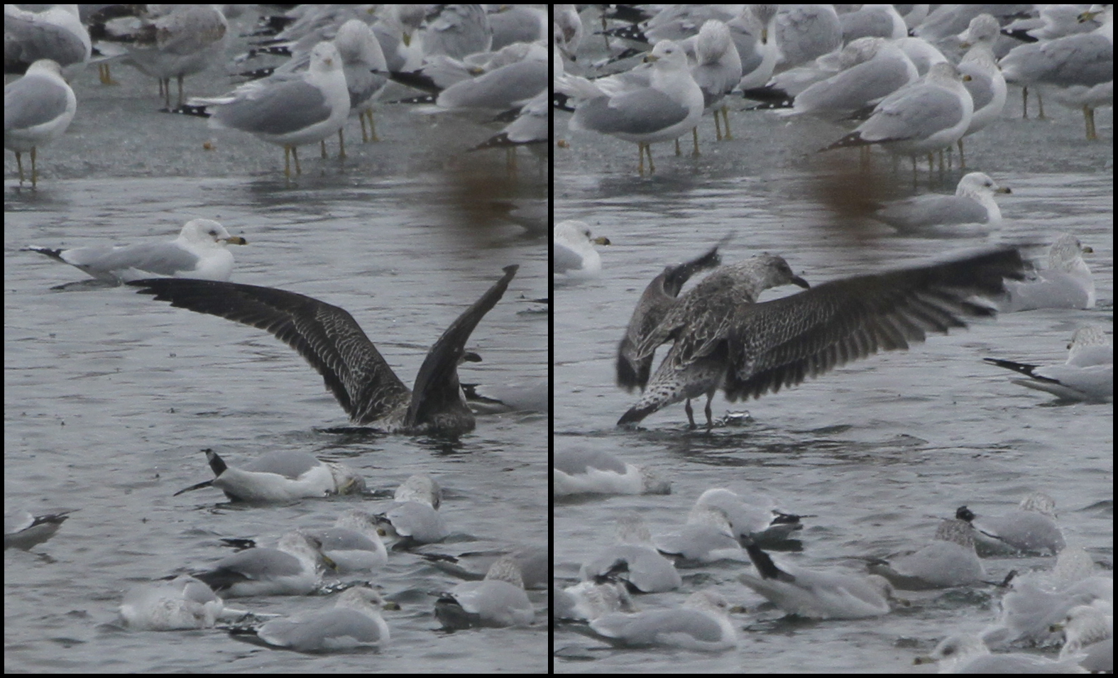
Lesser Black-backed Gull

Renick House - South Bloomfield, OH

06/27/2009 | Phoenix Golf Links
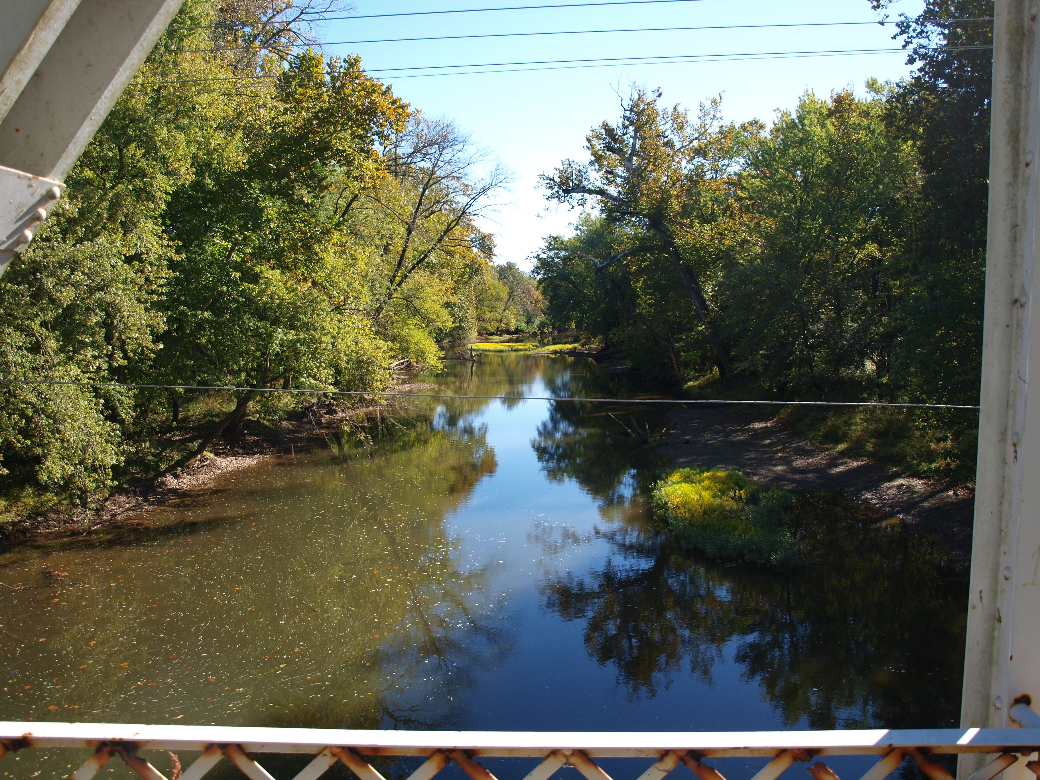
Scioto-Darby Road Bridge, creek view, Pickaway County, Ohio
Florence Bridge, left side creek view, Pickaway County, Ohio
Ring-billed, Herring and 1 Lesser Black-backed Gulls
Rear of the Renick House

Orient Bridge, left side view, Pickaway County, OH

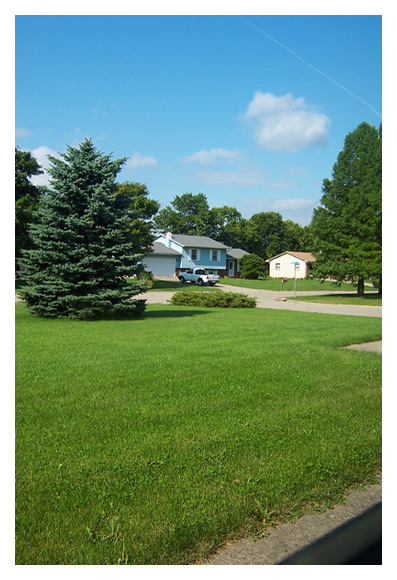
Red Farm House #1

Red Farm House #2

Donuts in Treasure Box
Glaucous, Lesser Black-backed, Herring and Ring-billed Gulls

KC-135: View from starboard window
Interurban on Broadway

Florence Bridge, right side creek view, Pickaway County, Ohio

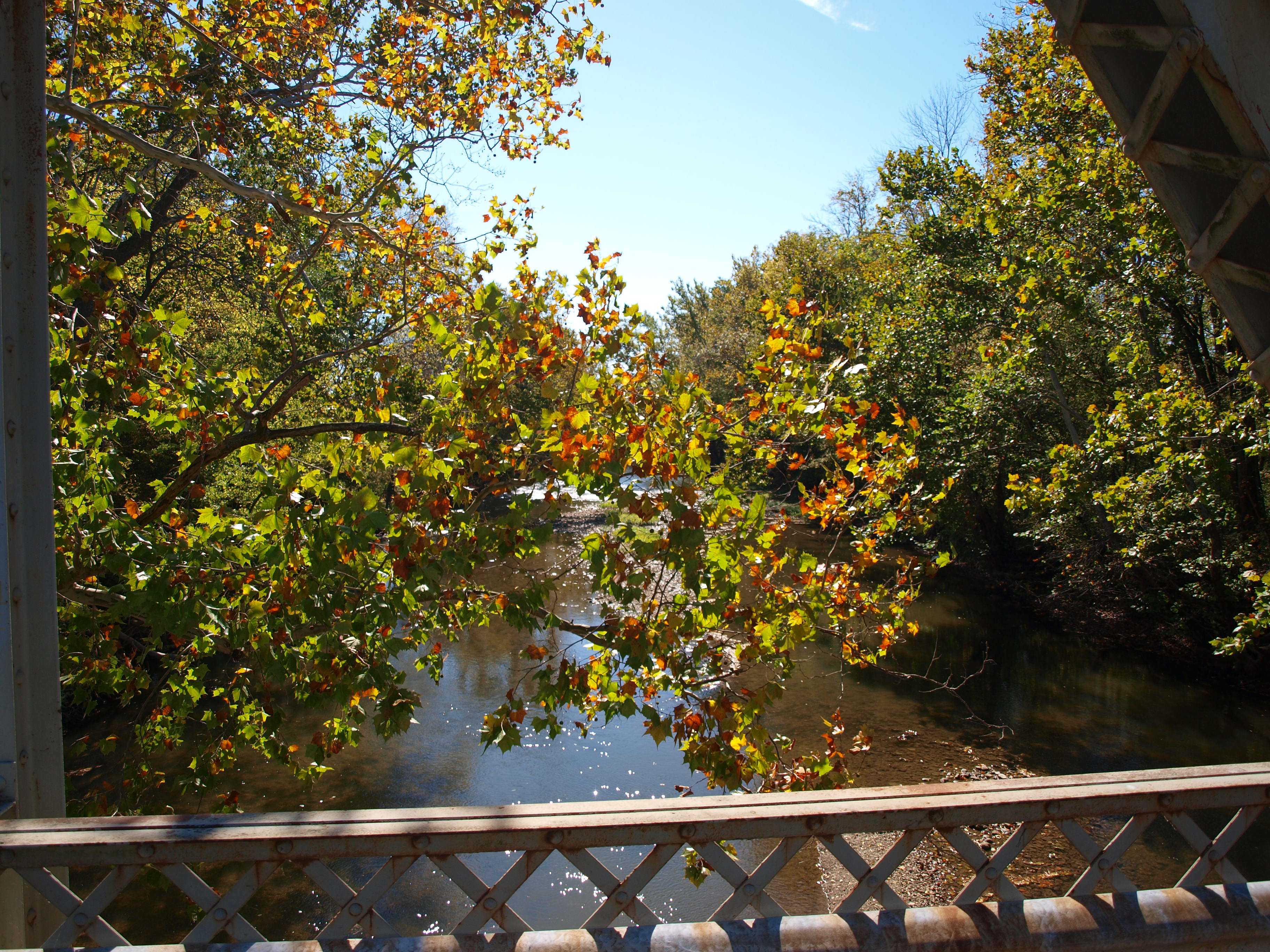
Scioto-Darby Road Bridge, cross creek view, Pickaway County, Ohio

View from Cockpit of KC-135

2015-11-21_07-20-35

The Open Road

Sept Storm 2
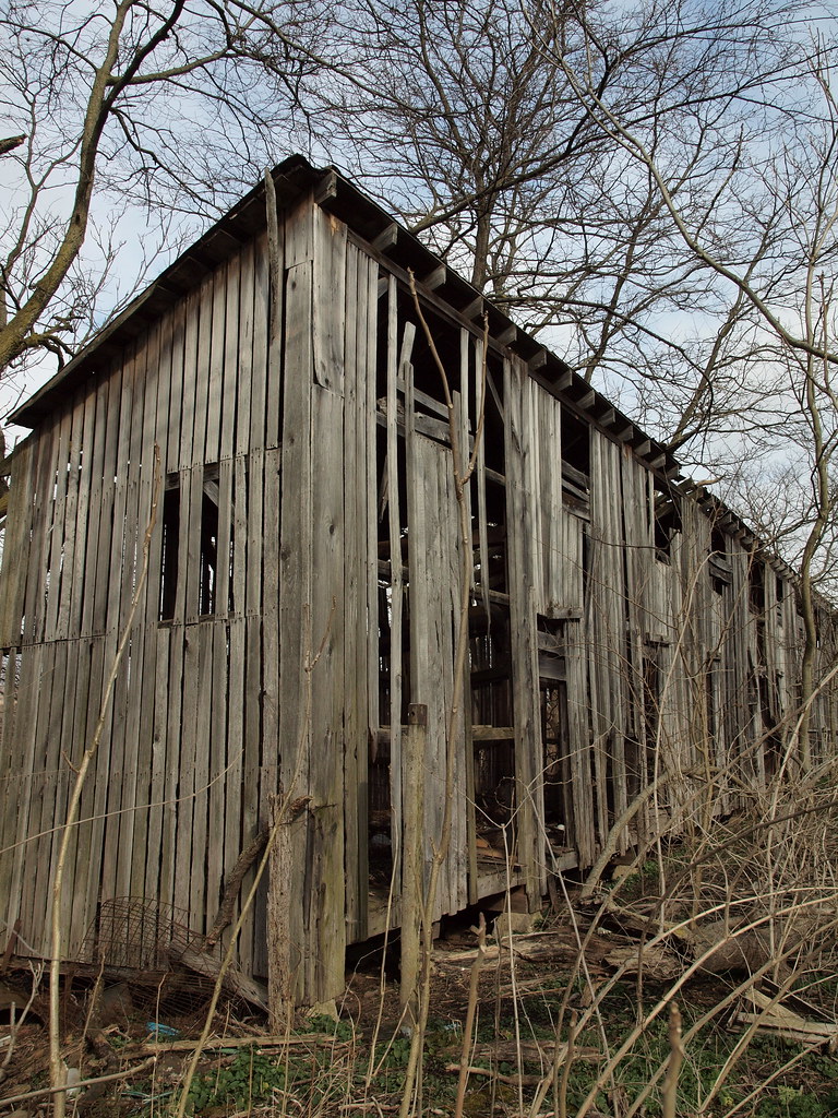
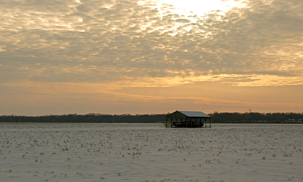
Corn Crib
Port-O-John 2OH8

Pretty sky

Bases loaded. Full count. Kyle nails it for two RBIs!

Neapolitan Sky
Year 3 2009-06-16 (e)

Some nasty looking weather south of #Columbus

Truck_112012_LR-466.jpg
Year 4 2010-05-12 (a)

Todays shoot location.
On the Road
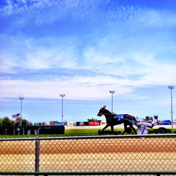
A giant deer foiled our climbing plans & Mikes car, but trying to make up for it at the track. #sciotodowns #racino #amerika

Hellbranch Run 2014 - Franklin County, Ohio

Truck_112012_LR-461.jpg

Truck_112012_LR-463.jpg

Field of pumpkins
Topographic Map of Scioto-Darby Rd, Orient, OH, USA
Find elevation by address:

Places near Scioto-Darby Rd, Orient, OH, USA:
Chestnut Estates Drive
9509 Welch Rd
25 E Scioto St, Orient, OH, USA
Commercial Point
Scioto Township
Orient
Administrative Office Building - Solid Waste Authority Of Central Ohio (swaco)
Jackson Township
Main St, Grove City, OH, USA
970 Harrisburg Rd
Harrisburg
1077 High St
Darby Township
3270 Orders Rd
3250 Orders Rd
3230 Orders Rd
5124 Keefer Ln
2840 Lori's Way
Margies Cove
2768 Lori's Way
Recent Searches:
- Elevation of Corso Fratelli Cairoli, 35, Macerata MC, Italy
- Elevation of Tallevast Rd, Sarasota, FL, USA
- Elevation of 4th St E, Sonoma, CA, USA
- Elevation of Black Hollow Rd, Pennsdale, PA, USA
- Elevation of Oakland Ave, Williamsport, PA, USA
- Elevation of Pedrógão Grande, Portugal
- Elevation of Klee Dr, Martinsburg, WV, USA
- Elevation of Via Roma, Pieranica CR, Italy
- Elevation of Tavkvetili Mountain, Georgia
- Elevation of Hartfords Bluff Cir, Mt Pleasant, SC, USA