Elevation of High St, Harrisburg, OH, USA
Location: United States > Ohio > Franklin County > Pleasant Township > Harrisburg >
Longitude: -83.171826
Latitude: 39.810877
Elevation: 246m / 807feet
Barometric Pressure: 98KPa
Elevation Map:
Satellite Map:
Related Photos:

Red Farm House #2
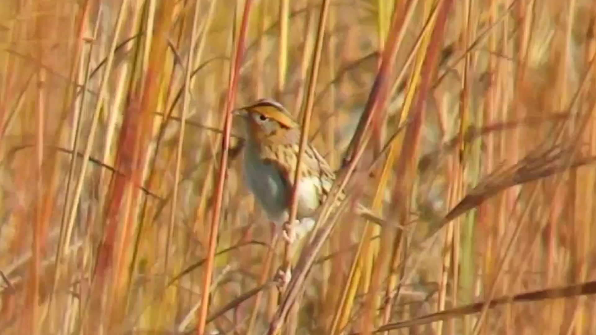
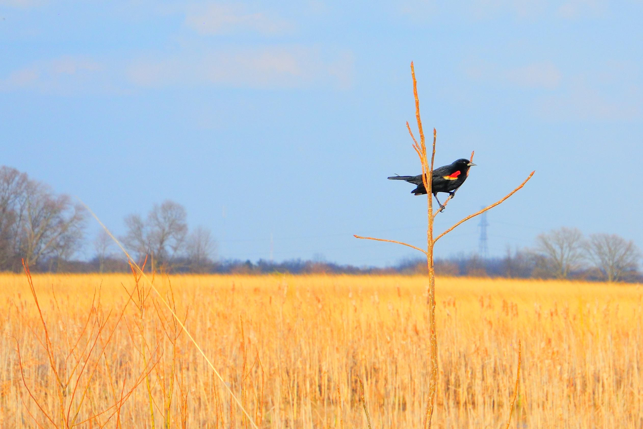
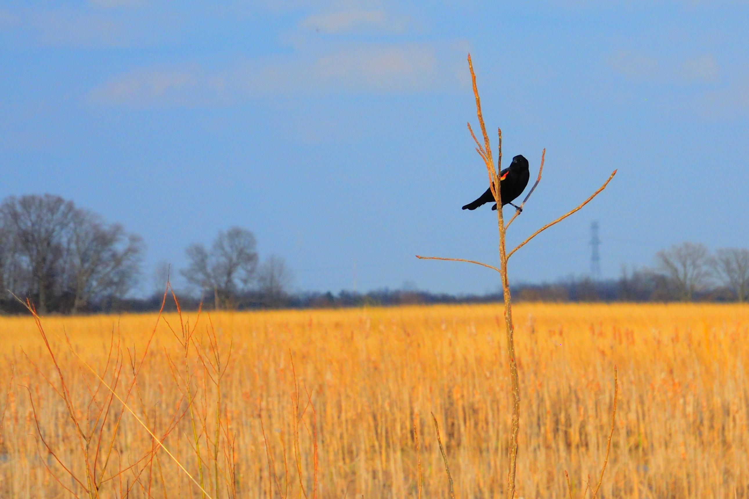
Le Conte's Sparrow

View in Original
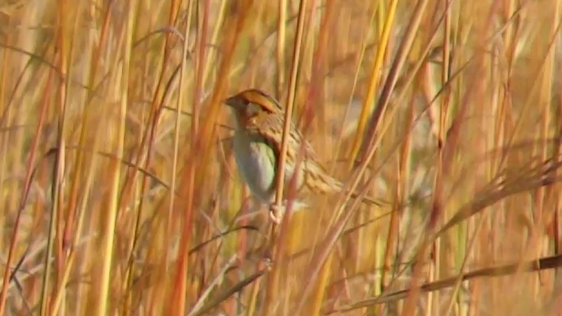
Le Conte's Sparrow
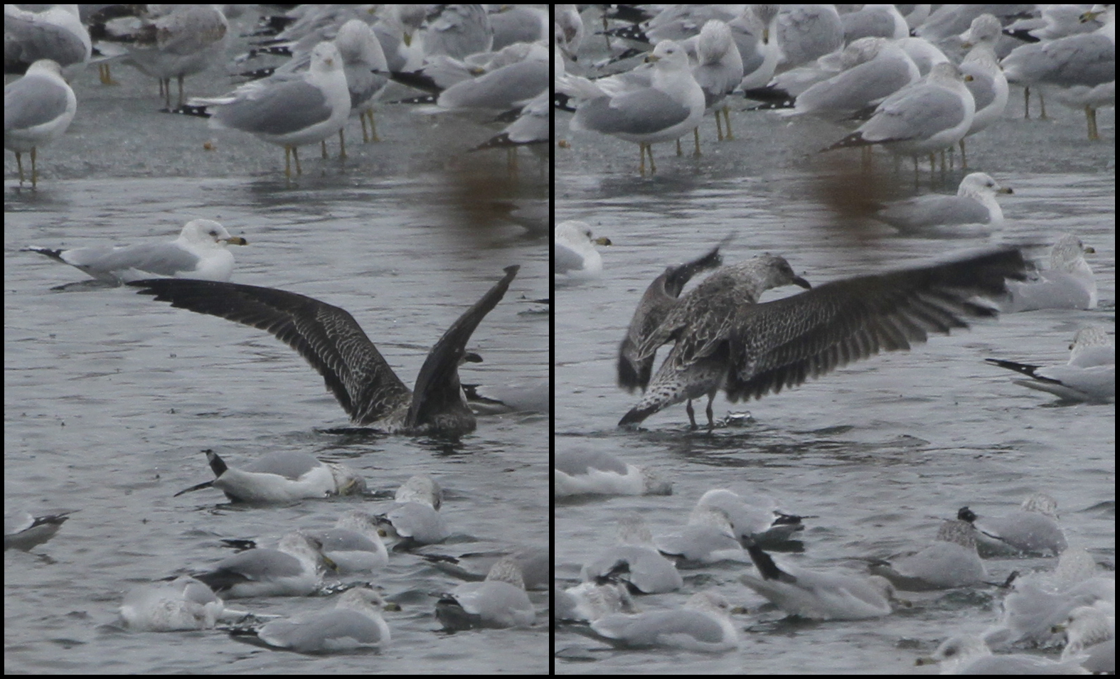
Lesser Black-backed Gull

06/27/2009 | Phoenix Golf Links
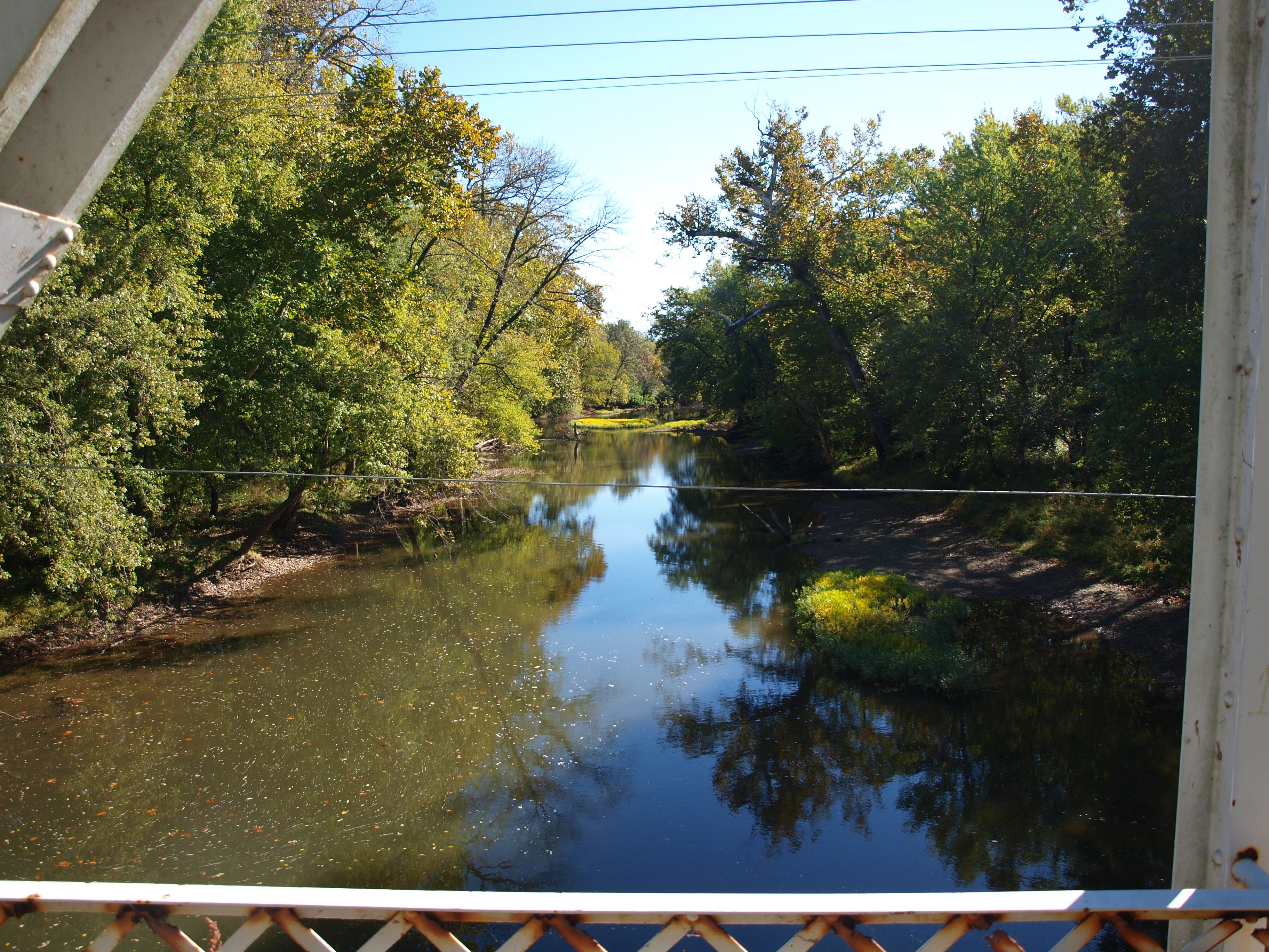
Scioto-Darby Road Bridge, creek view, Pickaway County, Ohio
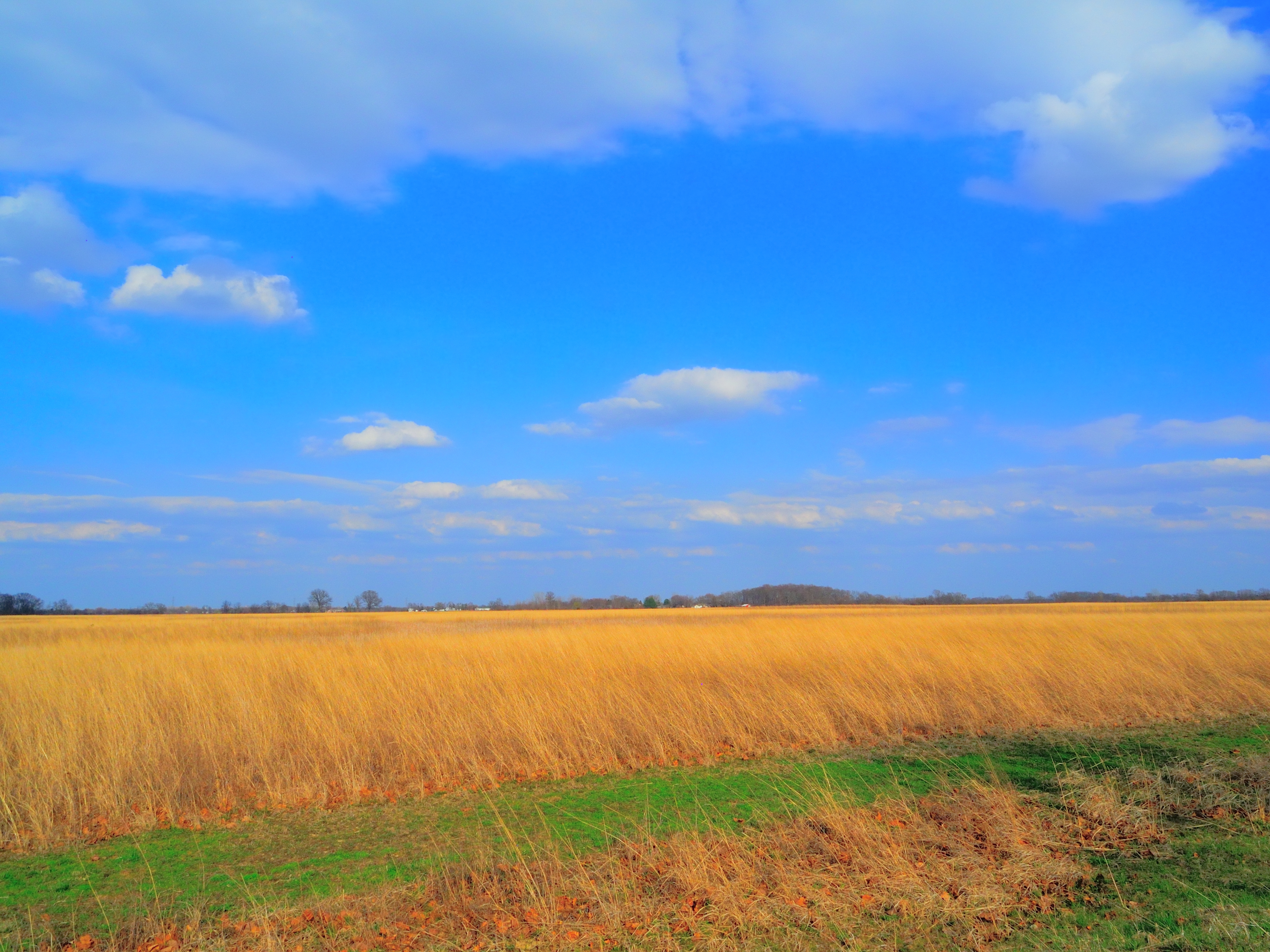
Le Conte's habitat shot.
Ring-billed, Herring and 1 Lesser Black-backed Gulls
Grasshopper Sparrow (Ammodramus savannarum)

Pectoral Sandpiper (Calidris melanotos)

Orient Bridge, left side view, Pickaway County, OH

Praying Mantis

Red Farm House #1

Northern Harrier, male

Donuts in Treasure Box
Horned Grebe
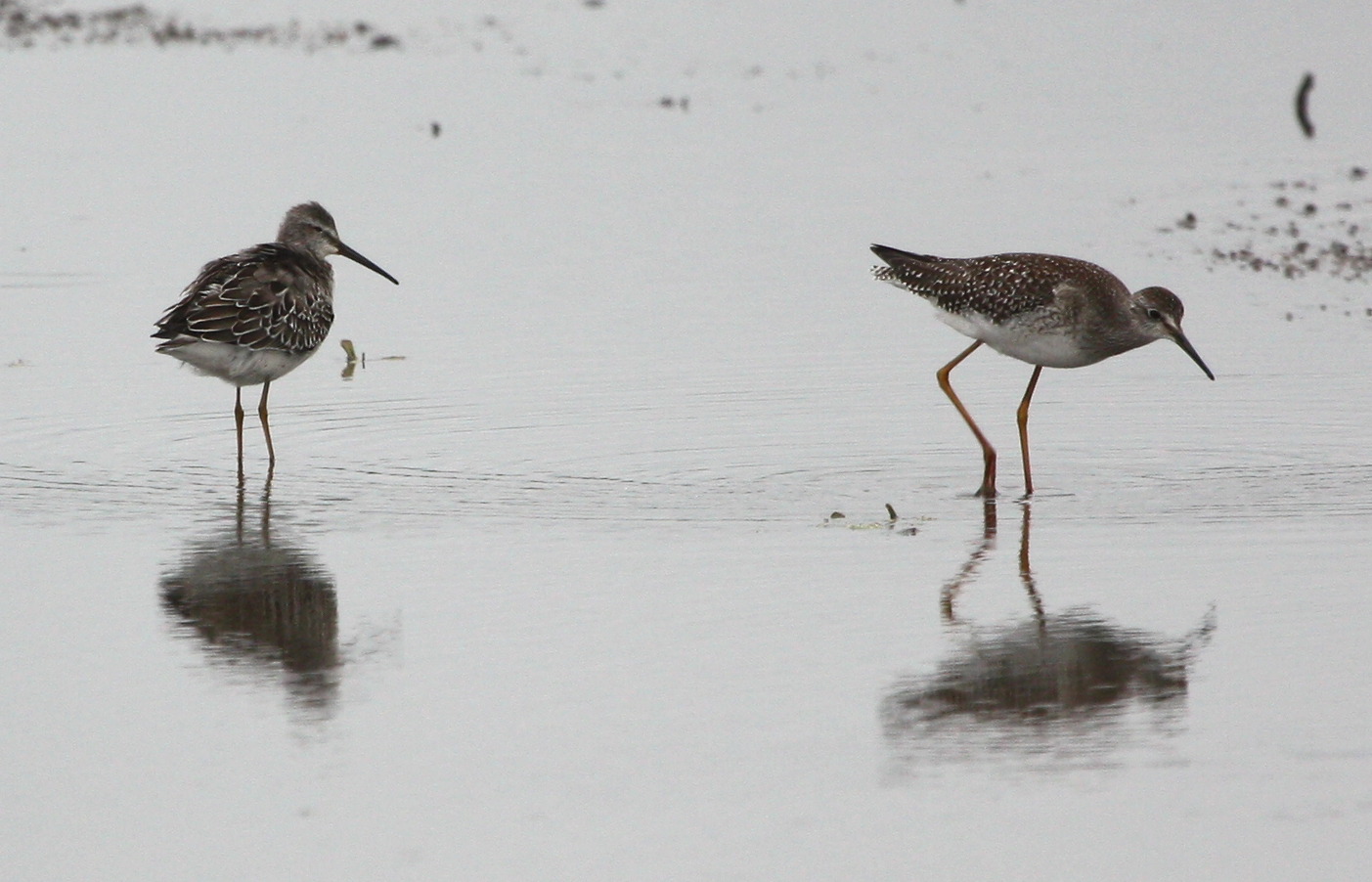
Stilt Sandpiper (Calidris himantopus) & Lesser Yellowlegs (Tringa flavipes)
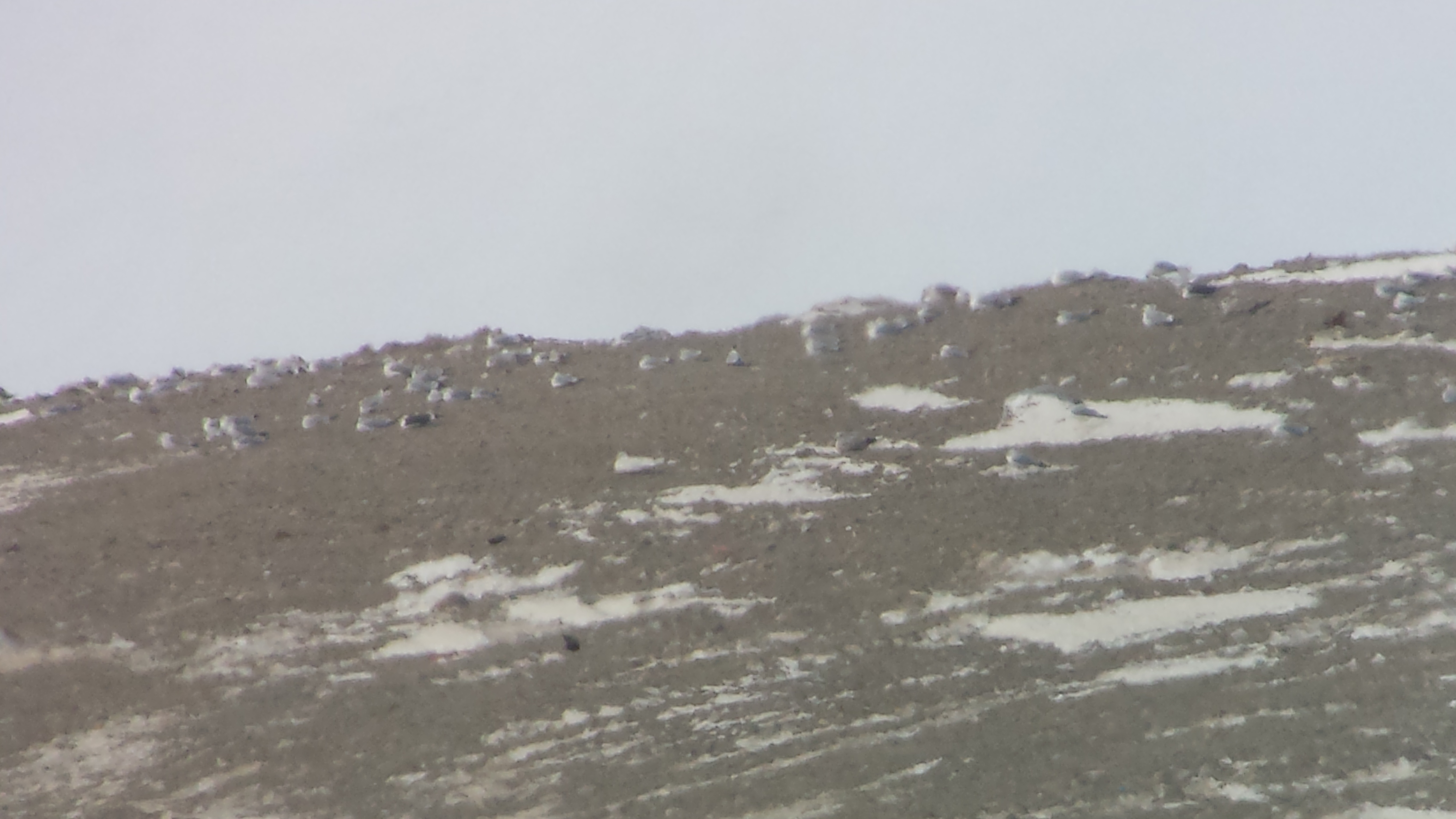
Glaucous, Lesser Black-backed, Herring and Ring-billed Gulls
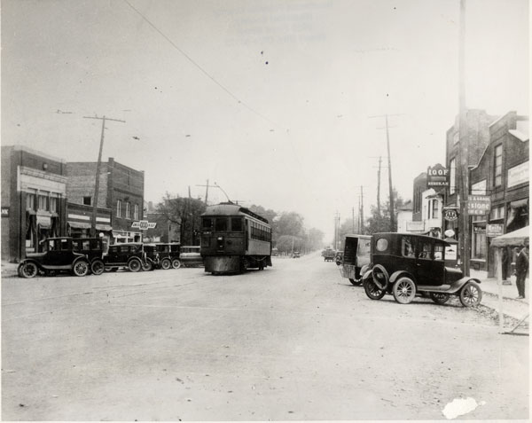
Interurban on Broadway

Scioto-Darby Road Bridge, cross creek view, Pickaway County, Ohio
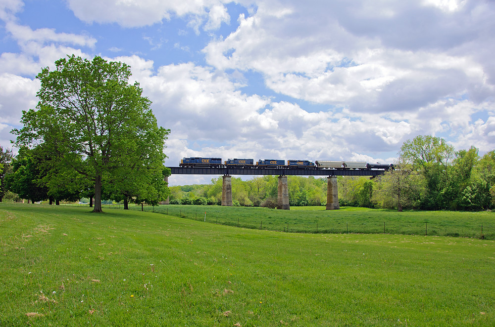
CSX Orient, Ohio

On our first Metro Park Geotrail adventure.

Searching for bison.
silent witnesses

Darby Creek Bison
Sept Storm 2
peeking through
Darby Creek Park_20140412_185305_

Darby Creek Park_20140412_171459_
Darby Creek Park_20140412_171526_

Darby Creek Park_20140412_180242_
Port-O-John 2OH8
Darby Creek Park_20140412_183733_
Darby Creek Park_20140412_165252_
Darby Creek Park_20140412_164850_

Darby Creek Park_20140412_190401_

Bases loaded. Full count. Kyle nails it for two RBIs!
Darby Creek Park_20140412_171442_
Topographic Map of High St, Harrisburg, OH, USA
Find elevation by address:

Places near High St, Harrisburg, OH, USA:
Harrisburg
970 Harrisburg Rd
Orient
Pleasant Township
10385 Creamer Rd
Darby Township
Main St, Grove City, OH, USA
Administrative Office Building - Solid Waste Authority Of Central Ohio (swaco)
Scioto-Darby Rd, Orient, OH, USA
9509 Welch Rd
Castle Farms
3434 Ventura Blvd
Chestnut Estates Drive
3270 Orders Rd
3230 Orders Rd
3250 Orders Rd
Park St, Grove City, OH, USA
Grove City
Woodlawn
2840 Lori's Way
Recent Searches:
- Elevation of Corso Fratelli Cairoli, 35, Macerata MC, Italy
- Elevation of Tallevast Rd, Sarasota, FL, USA
- Elevation of 4th St E, Sonoma, CA, USA
- Elevation of Black Hollow Rd, Pennsdale, PA, USA
- Elevation of Oakland Ave, Williamsport, PA, USA
- Elevation of Pedrógão Grande, Portugal
- Elevation of Klee Dr, Martinsburg, WV, USA
- Elevation of Via Roma, Pieranica CR, Italy
- Elevation of Tavkvetili Mountain, Georgia
- Elevation of Hartfords Bluff Cir, Mt Pleasant, SC, USA