Elevation of Williams Point Rd, Marion Station, MD, USA
Location: United States > Maryland > Somerset County > 8, Lawsons > Marion Station >
Longitude: -75.654066
Latitude: 37.970094
Elevation: 1m / 3feet
Barometric Pressure: 101KPa
Elevation Map:
Satellite Map:
Related Photos:

Pond view
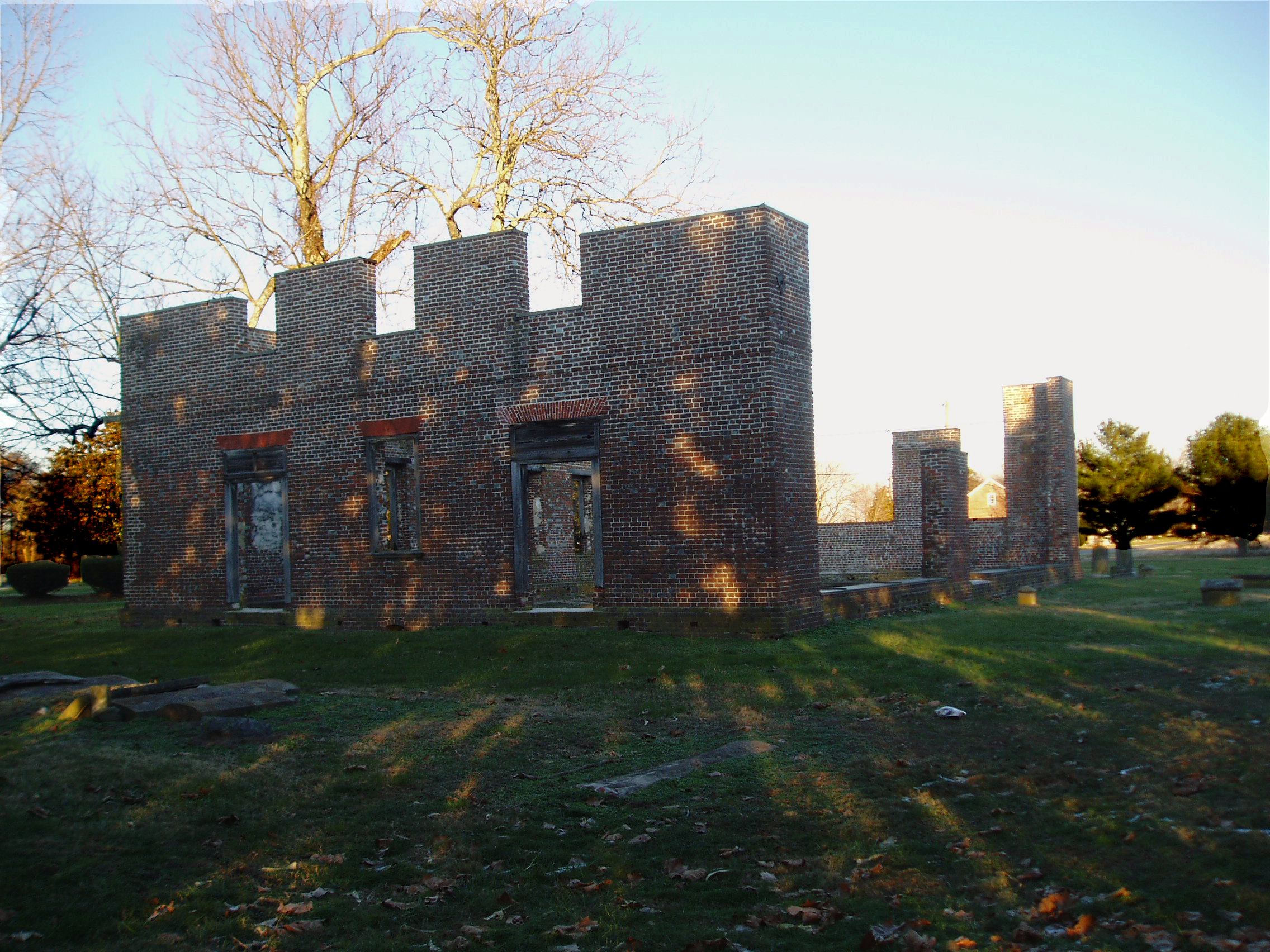
Coventry Parish Church ruins
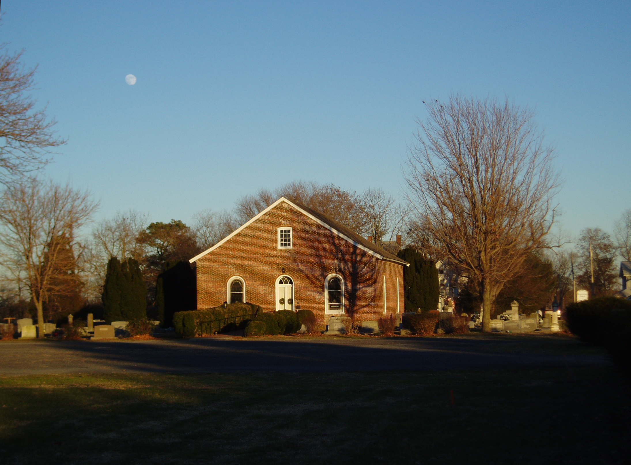
Rehobeth Presbyterian Church, 1706

call me bitter

US 13 overpass

The Open Roadside

Eastern Mud Turtle

Mixed Messages

Barn roof behind tall yellow flowers

2012-10-05 Pocomoke City

2014-12-25 13.59.25

Accohannock Pow Wow 2011 - Marion Station, MD

All but forgotten...
Saxis Virginia

Relaxing at the Beach
Paddling CBV-9181146.jpg
Approaching Pocomoke City, Maryland

Sea Lavender
Accohannock Pow Wow 2011 - Marion Station, MD
DSCN3218.JPG
Paddling CBV-9181149.jpg

Rehobeth Presbyterian Church- Somerset County MD (4)
Topographic Map of Williams Point Rd, Marion Station, MD, USA
Find elevation by address:

Places near Williams Point Rd, Marion Station, MD, USA:
Hess Rd, Marion Station, MD, USA
3, Brinkleys
415 Shore Line Ln
Cornstack Rd, Marion Station, MD, USA
Hickory Point Natural Area
1201 Cedar Hall Rd
31379 Charles Barnes Rd
Cypress Rd, Pocomoke City, MD, USA
28851 L Q Powell Rd
Landon Store Rd, Marion Station, MD, USA
Peach Orchard Rd, Pocomoke City, MD, USA
28551 L Q Powell Rd
28940 Hudson Corner Rd
5370 Bivens Rd
28176 Holland Crossing Rd
5838 Crisfield Hwy
Marion Station
5758 Charles Cannon Rd
28177 Crisfield Marion Rd
27729 Holland Crossing Rd
Recent Searches:
- Elevation of Corso Fratelli Cairoli, 35, Macerata MC, Italy
- Elevation of Tallevast Rd, Sarasota, FL, USA
- Elevation of 4th St E, Sonoma, CA, USA
- Elevation of Black Hollow Rd, Pennsdale, PA, USA
- Elevation of Oakland Ave, Williamsport, PA, USA
- Elevation of Pedrógão Grande, Portugal
- Elevation of Klee Dr, Martinsburg, WV, USA
- Elevation of Via Roma, Pieranica CR, Italy
- Elevation of Tavkvetili Mountain, Georgia
- Elevation of Hartfords Bluff Cir, Mt Pleasant, SC, USA