Elevation of Cedar Hall Rd, Pocomoke City, MD, USA
Location: United States > Maryland > Worcester County > 1, Pocomoke > Pocomoke City >
Longitude: -75.598722
Latitude: 38.037227
Elevation: 6m / 20feet
Barometric Pressure: 101KPa
Elevation Map:
Satellite Map:
Related Photos:

Eastern Mud Turtle

Part of Main Street, Westover, MD

Second Street, Pocomoke City, MD

Coventry Parish Church ruins

The Open Roadside

Good Friday in Westover, Maryland

Rehobeth Presbyterian Church, 1706

US 13 overpass

Pocomoke Fair, Pocomoke City, MD

call me bitter

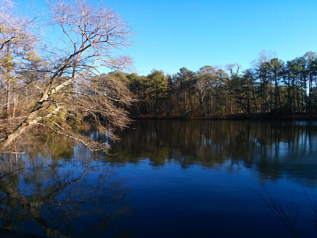
Pond view

Grace Methodist Episcopal Church, Marion Station, MD

Old Rehoboth Episcopal Church, Pocomoke City, MD

Waiting to Get Loaded With Strawberries, Marion Station, MD

Old Rehoboth Episcopal Church, Pocomoke City, MD

River Bridge, Pocomoke City, MD

Old Rehoboth Church, Pocomoke City, MD

Old Rehoboth Church, Pocomoke City, MD

Old Rehoboth Church, near Pocomoke City, MD
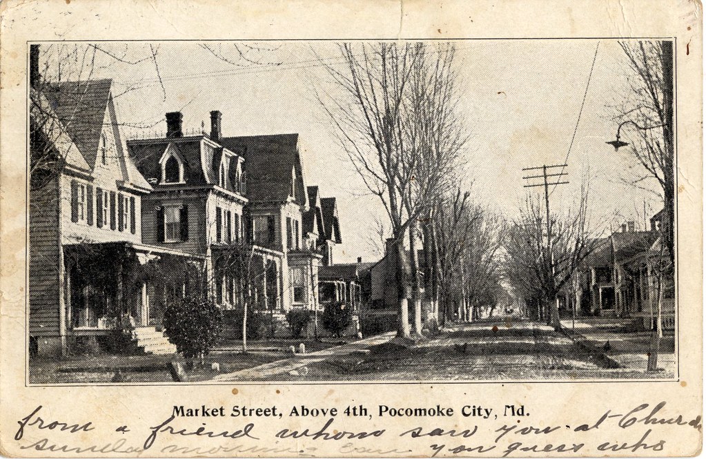
Market Street, above 4th, Pocomoke City, Md.
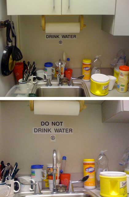
Mixed Messages

Saxis Virginia

Doing the Dishes

Barn roof behind tall yellow flowers
Approaching Pocomoke City, Maryland

All but forgotten...
Stevenson's Pond

Makemie Park, Virginia

2014-12-25 13.59.25

Rehobeth Presbyterian Church- Somerset County MD (4)

Saxis Virginia

Costen House Garden

LISP_2014-12-29_JDFARM_0008C

2012-10-05 Pocomoke City

Accohannock Pow Wow 2011 - Marion Station, MD

Accohannock Pow Wow 2011 - Marion Station, MD

Seaside Sparrow

DSCN5845.JPG
Topographic Map of Cedar Hall Rd, Pocomoke City, MD, USA
Find elevation by address:

Places near Cedar Hall Rd, Pocomoke City, MD, USA:
Cypress Rd, Pocomoke City, MD, USA
Hickory Point Natural Area
415 Shore Line Ln
Peach Orchard Rd, Pocomoke City, MD, USA
Hess Rd, Marion Station, MD, USA
31379 Charles Barnes Rd
3321 Williams Point Rd
Cornstack Rd, Marion Station, MD, USA
3, Brinkleys
Curtis Chapel Rd, Westover, MD, USA
Westover
Landon Store Rd, Marion Station, MD, USA
13, Westover
28940 Hudson Corner Rd
28851 L Q Powell Rd
8184 River Rd
5370 Bivens Rd
28551 L Q Powell Rd
5838 Crisfield Hwy
Marion Station
Recent Searches:
- Elevation of Corso Fratelli Cairoli, 35, Macerata MC, Italy
- Elevation of Tallevast Rd, Sarasota, FL, USA
- Elevation of 4th St E, Sonoma, CA, USA
- Elevation of Black Hollow Rd, Pennsdale, PA, USA
- Elevation of Oakland Ave, Williamsport, PA, USA
- Elevation of Pedrógão Grande, Portugal
- Elevation of Klee Dr, Martinsburg, WV, USA
- Elevation of Via Roma, Pieranica CR, Italy
- Elevation of Tavkvetili Mountain, Georgia
- Elevation of Hartfords Bluff Cir, Mt Pleasant, SC, USA