| Latitude: | 37.6343543 |
|---|---|
| Longitude: | -118.2557392 |
| Elevation: | 2757 meters / 9045 feet |
| Barometric Pressure | 723KPa |
Related Photos

The Sky is the Limit

Windswept

The End of the Milky Way

Trails and Tribulations

Closeup aerial view of Mt Dubois and Glass Mountain can be seen in the distance. 289-HDR

View West

Partial views of mountain tops of King Canyon,, Sequoia or Inyo National Park, CA. 272a

Dry Wood West

White Mountains and Pines

White Mountain View ll

Desert View South

Sunset with Moon, Patriarch Grove (Ancient Bristlecone Pines)

White Mountain View

High Desert View

Sierra Nevada Mountains

Sky over White Mountain Peak, view north from the dolomite barrens, White Mountains, Inyo National Forest, elevation 3620 m (11875 ft)

White Road

Coldwater Canyon fan in superbloom

Falls Canyon lower waterfall

Falls Canyon waterfalls

Falls Canyon, lower waterfall plunge pool

clouds over White Mountain Peak, view NNW from Eva Belle Mine road

The Milky Way at the Patriarch Grove

635_benton_farming

Falls Canyon

View from the top - looking south

Ancient Bristlecone Pine Forest, Patriarch Grove, Bristlecone Pine

We drove to the start of the trail…

Near Patriarch

White Mountain Peak, view NW across upper Cottonwood Basin from Crooked Creek divide

Aerial View of California

Distant View of Mount Whitney

last light on Station Peak, White Mountains

Deep Springs Cow Camp pond, view east toward Cow Camp ridge

1992_muir_solo_221

White Mountain Peak from dolomite barrens

Fish Lake Valley Emergency Wild Horse Gather 2013

Fish Lake Valley Emergency Wild Horse Gather 2013

1992_muir_solo_222
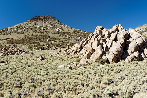
White Mountains Wilderness, Deep Springs Cow Camp, View

California Sunset

Sierra Nevada Sunrise

White Mountains, Cottonwood Basin Road, View

Ancient Bristlecone Pine Forest, Cottonwood Road, Clouds

White Mountains Wilderness, Crooked Creek, View

Sheep Mountain summit view

629_sierra_crest_morning

Bristlecone study #12
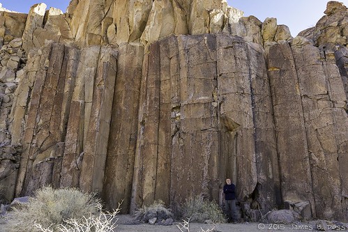
Jim and the Basalt Columns

Patriarch and Milk 1677