Elevation of Benton, CA, USA
Location: United States > California > Mono County >

Longitude: -118.47650

Latitude: 37.819099

Elevation: 1644m / 5394feet

Barometric Pressure: 83KPa

Elevation Map:

elevation map of Benton, CA, USA

Satellite Map:

Satellite map of Benton, CA, USA

Related Photos:

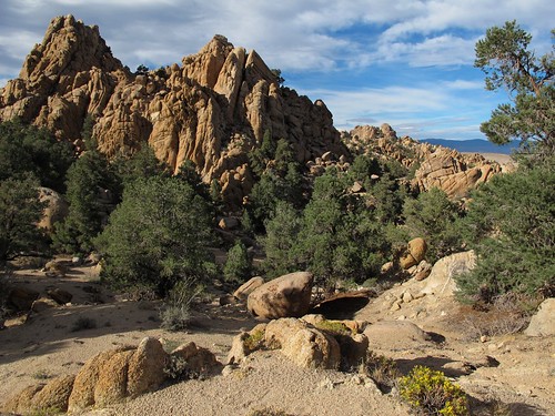
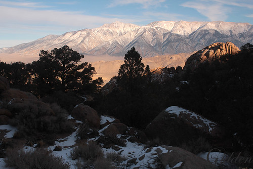
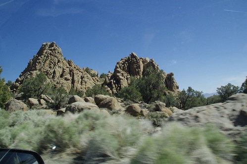
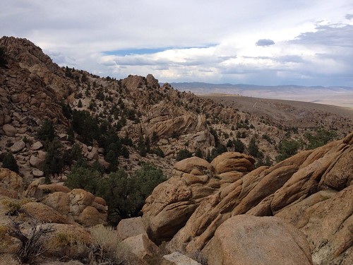
california autumn trees wild sunlight mountains fall nature beauty landscape outdoors afternoon shadows view rocky adventure pines granite gnarly exploration outcropping eroded monocounty pinyonpine pileorocks zoniedude1 earthnaturelife canonpowershotg12 easternsierraexpedition2013 6560ftelevation
Pile-O-Rocks
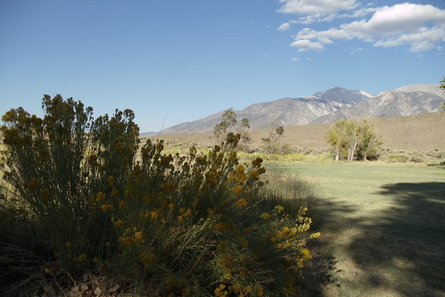
whitemountains bentonhotsprings montgomerypeak
Benton Hot Springs
hot springs benton
Gold Point 55
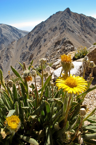
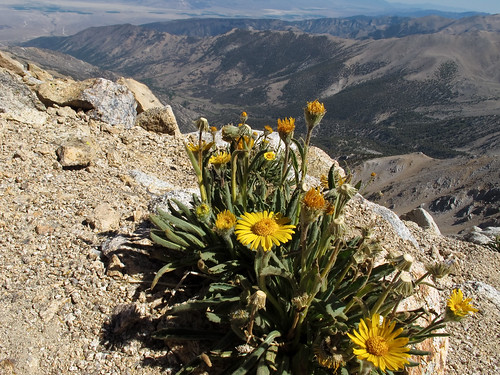
flowers yellow canon landscape scenery view nevada whitemountains alpine arid sierraclub greatbasin g11 boundarypeak intermountainwest westernunitedstates desertpeakssection highestmountaininnevada highestpointinnevada
Montgomery Peak and alpine flowers
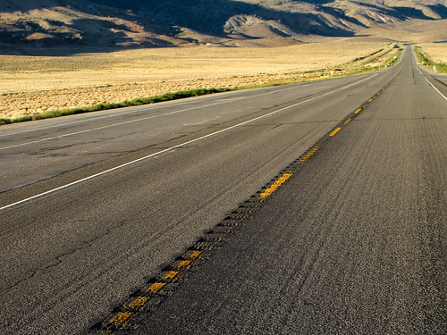
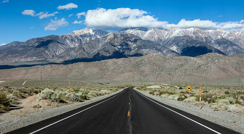
california road 6 canon landscape highway view empty nevada whitemountains lonely barren arid greatbasin g11 lonesome intermountainwest westernunitedstates
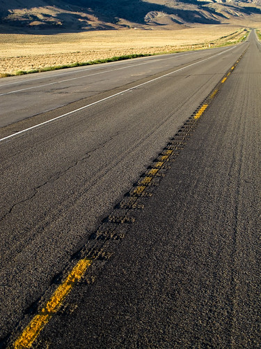
Highway 6, Nevada
boundarypeak nevada whitemountains greatbasin westernunitedstates intermountainwest highestmountaininnevada highestpointinnevada desertpeakssection sierraclub arid landscape scenery view canon g11
Boundary and Montgomery Peak
canon landscape scenery view nevada whitemountains arid sierraclub greatbasin g11 boundarypeak intermountainwest westernunitedstates desertpeakssection highestmountaininnevada highestpointinnevada
View west to California
california road 6 canon landscape highway view empty nevada whitemountains lonely barren arid greatbasin g11 lonesome intermountainwest westernunitedstates
Lonesome Highway
canon landscape scenery view nevada whitemountains arid sierraclub greatbasin g11 boundarypeak intermountainwest westernunitedstates desertpeakssection highestmountaininnevada highestpointinnevada
View towards the Benton Valley
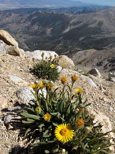
flowers plant yellow canon landscape scenery view nevada whitemountains arid sierraclub greatbasin g11 boundarypeak intermountainwest westernunitedstates desertpeakssection highestmountaininnevada highestpointinnevada
Alpine flowers on Boundary Peak
canon landscape scenery view nevada whitemountains arid sierraclub greatbasin g11 boundarypeak intermountainwest westernunitedstates desertpeakssection highestmountaininnevada highestpointinnevada
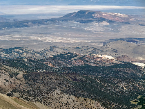
View east from Boundary Peak
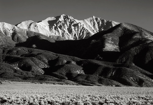
bw white black canon landscape scenery view nevada whitemountains arid sierraclub greatbasin g11 boundarypeak intermountainwest westernunitedstates desertpeakssection highestmountaininnevada highestpointinnevada
Boundary and Montgomery Peak from Hwy 6
canon landscape scenery view nevada whitemountains arid sierraclub greatbasin g11 boundarypeak intermountainwest westernunitedstates desertpeakssection highestmountaininnevada highestpointinnevada
Boundary Peak's rugged western slopes
flowers yellow canon landscape scenery view nevada whitemountains arid sierraclub greatbasin g11 boundarypeak intermountainwest westernunitedstates desertpeakssection highestmountaininnevada highestpointinnevada
Growing up high
canon landscape scenery view nevada whitemountains arid sierraclub greatbasin g11 boundarypeak intermountainwest westernunitedstates desertpeakssection highestmountaininnevada highestpointinnevada
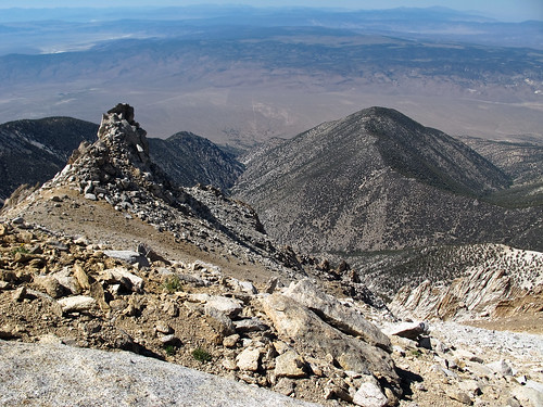
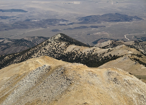
View north from Boundary Peak
canon landscape scenery view nevada whitemountains arid sierraclub greatbasin g11 boundarypeak intermountainwest westernunitedstates desertpeakssection highestmountaininnevada highestpointinnevada
View northeast from Boundary Peak
canon landscape scenery view nevada whitemountains arid sierraclub greatbasin g11 boundarypeak intermountainwest westernunitedstates desertpeakssection highestmountaininnevada highestpointinnevada
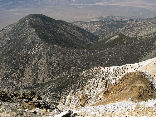
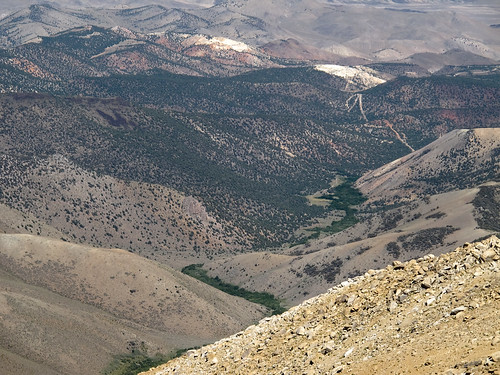
View down towards Trail Canyon
canon landscape scenery view nevada whitemountains arid sierraclub greatbasin g11 boundarypeak intermountainwest westernunitedstates desertpeakssection highestmountaininnevada highestpointinnevada
Nevada afternoon
canon landscape scenery view nevada whitemountains arid sierraclub greatbasin g11 boundarypeak intermountainwest westernunitedstates desertpeakssection highestmountaininnevada highestpointinnevada
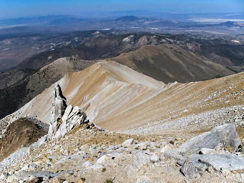
Boundary Peak ridge line
canon landscape scenery view nevada whitemountains arid sierraclub greatbasin g11 boundarypeak intermountainwest westernunitedstates desertpeakssection highestmountaininnevada highestpointinnevada
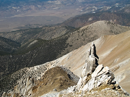
Steep west face of Boundary Peak
canon landscape scenery view nevada whitemountains arid sierraclub greatbasin g11 boundarypeak intermountainwest westernunitedstates desertpeakssection highestmountaininnevada highestpointinnevada
Montgomery Peak from Boundary Peak
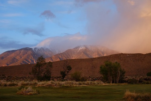
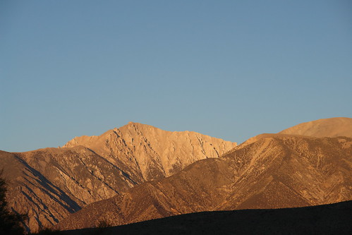
california color digital landscape bentonhotsprings notbw boundarypeak notironic montgomerypeak whitemountainsofcalifornia
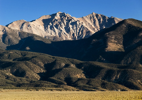
Montgomery and Boundary Peaks from Benton
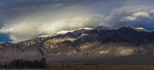
california clouds whitemountains hwy395 lanscape
EVENING LIGHT AND SHADOWS
white mountains
winter light snow mountains landscape rocks whitemountains
winter on Benton Crossing
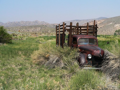
california landscape lumix roadtrip abandon 395 benton bentonhotsprings highway395 highway120 easternsierra trashbit
Goin' Nowhere
eyefi
P2060025.JPG
Boundary Peak - September 25, 2012-20.jpg
nevada whitemountains nevadastan2010
Boundary Peak
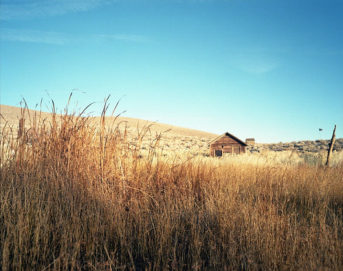
thanksgiving 50mm portra400vc mamiya7ii
Benton Hot Springs
1634 HIGHWAY 120 NEAR BENTON CROSSING RD (5)
hot springs benton
death valley 2 (06)
eyefi
_K5P6708.JPG
california unitedstates bentonhotsprings statehighway120ca120bentonhotspringscaliforniaunite statehighway120ca120bentonhotspringscaliforniaunitedstates
State Highway 120, CA
eyefi
_K5P6709.JPG
eyefi
P2060023.JPG
_9040183.NEF
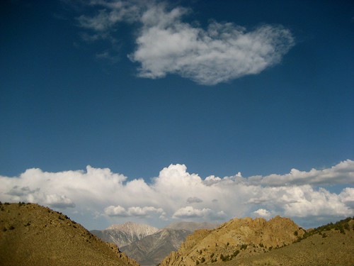
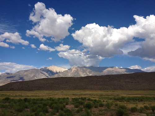
sky mountain mountains clouds landscape day cloudy southwestern
Southwestern Landscape and Sky
eyefi
P2060022.JPG
clouds landscape rocks rockformations
Rocks and landscape