![california ca travel autumn usa sun tree fall nature water field station yellow speed creek photoshop canon landscape flow photo interestingness interesting october long day photographer slow cs2 picture sierra explore pack adobe shutter aspen sierranevada eastern easternsierras autofocus sierranationalforest wow1 wow3 2011 denoise 60d topazlabs exposiure dailyrayofhope photographersnaturecom davetoussaint mcgeenorthern](https://farm7.staticflickr.com/6212/6293388160_42d33ee711.jpg)
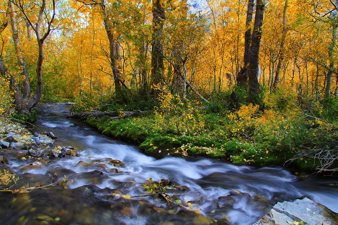
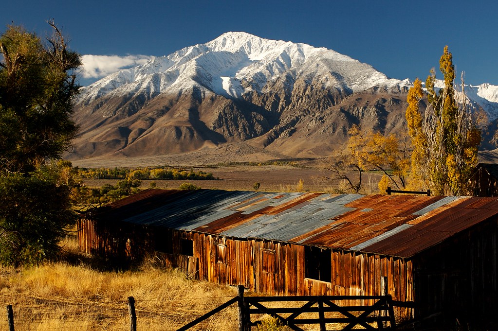
Autumn in McGee Creek
![morning light sunset cloud mountain lake color reflection nature sunrise river landscape mono desert nevada sierra formation mammoth yosemite wilderness eastern range lenticular owens 395 crowley darvin atkeson darv liquidmoonlightcom](https://farm7.staticflickr.com/6032/6280934254_5e671d4d4f.jpg)
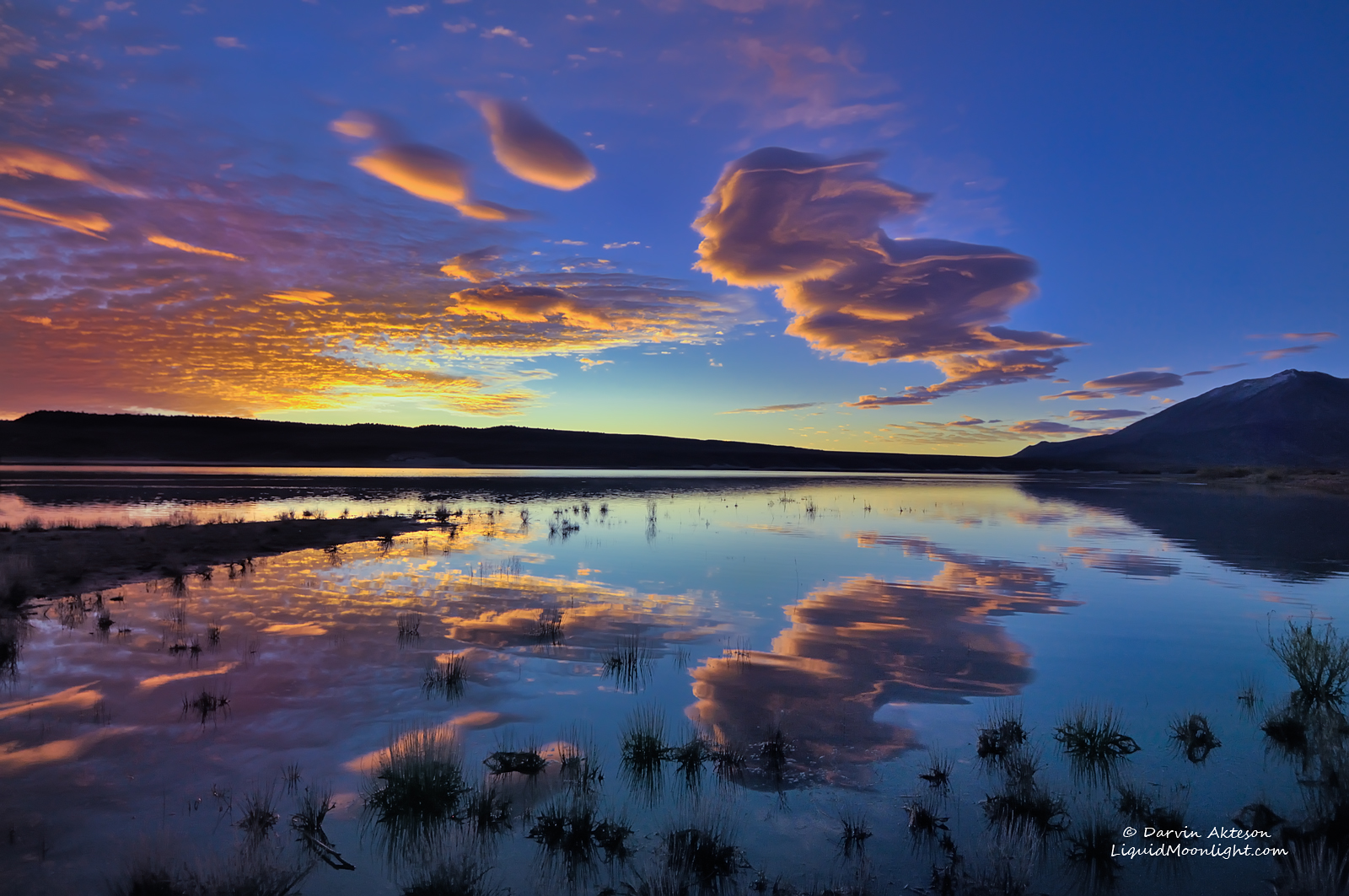
Majestic Sunrise - Lake Crowley, California
![california ca travel autumn usa tree fall nature water field station yellow speed creek photoshop canon landscape flow photo interestingness interesting october long day photographer slow cs2 picture sierra explore pack adobe shutter aspen northern sierranevada eastern hdr highdynamicrange diffuse easternsierras simplify sierranationalforest 2011 mcgeecreek thegalaxy denoise 60d topazlabs exposiure photographersnaturecom davetoussaint ringexcellence](https://farm8.staticflickr.com/7239/7389870806_c411f69c26.jpg)
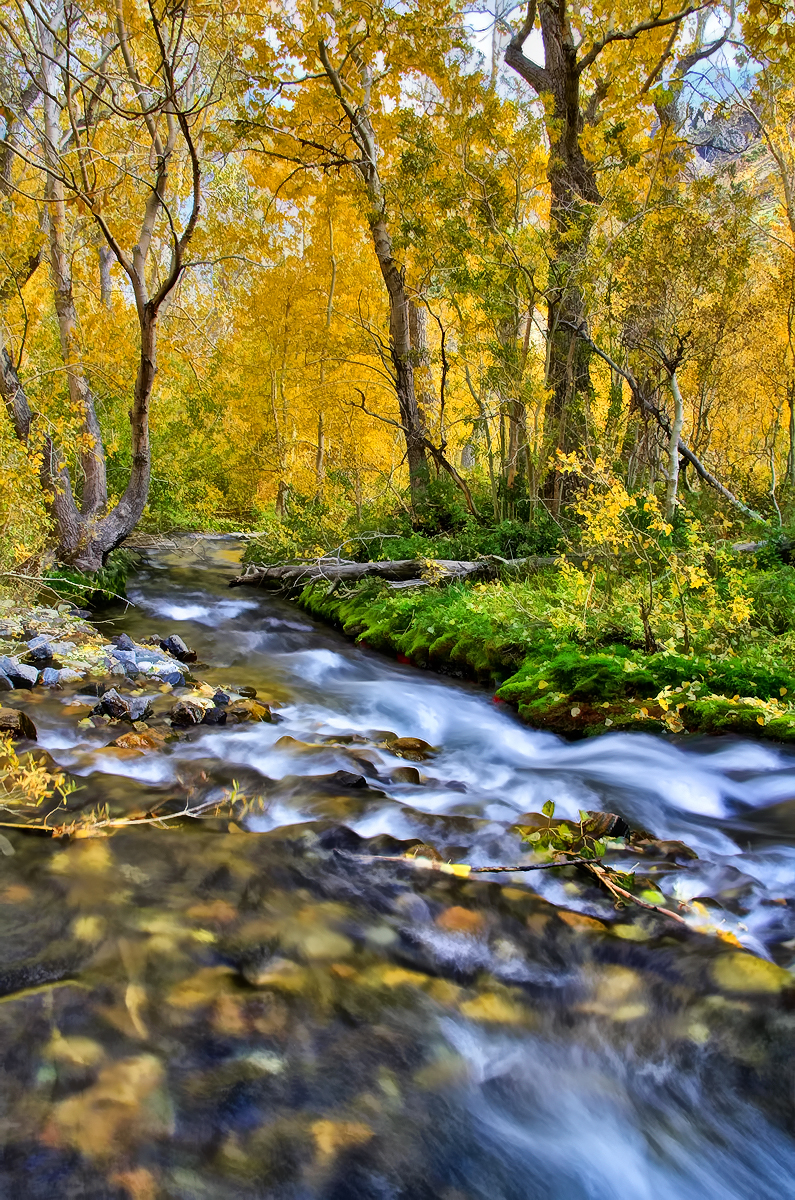
Gorgeous McGee Creek
![california travel sky usa snow color nature photoshop sunrise canon landscape dawn photo amazing interesting day skies photographer cs2 awesome picture wideangle adobe southerncalifornia hwy395 hdr 2010 infocus highway395 photomatix 40d topazlabs platinumphoto topazadjust topazdenoise photographersnaturecom davetoussaint homepagetile](https://farm5.staticflickr.com/4104/5208081032_01501bf47a.jpg)
Lake Crowley at Sunrise
![california summer snow landscape unitedstates olympus sierra alpine sierranevada bishop rockcreek evolt e510 subalpine inyonationalforest inyocounty olympuse510 earthnaturelife geo:alt=3215m jdm20141681](https://farm9.staticflickr.com/8890/18223300370_47bc516cc6.jpg)
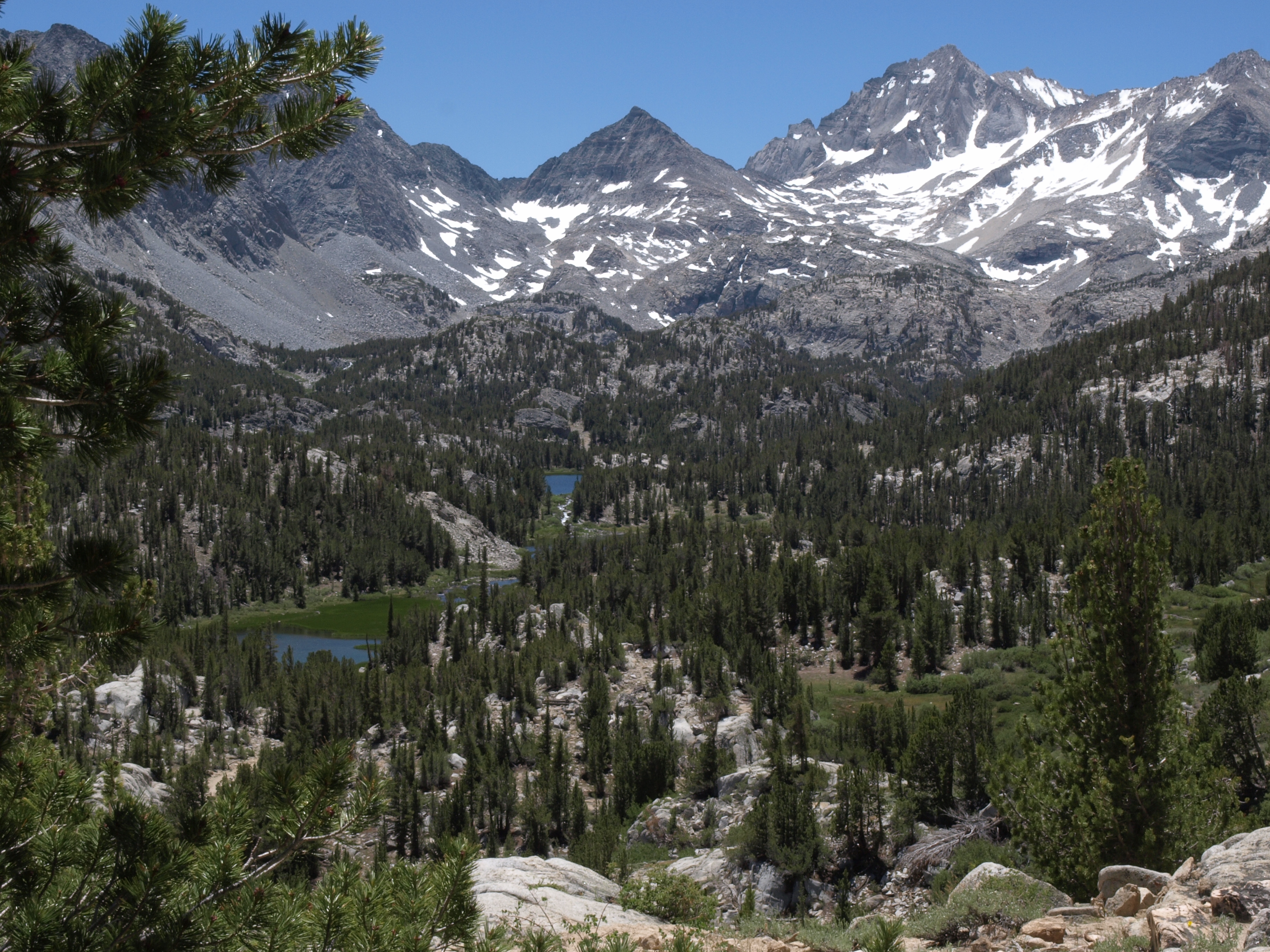
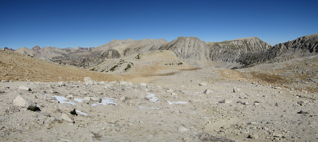
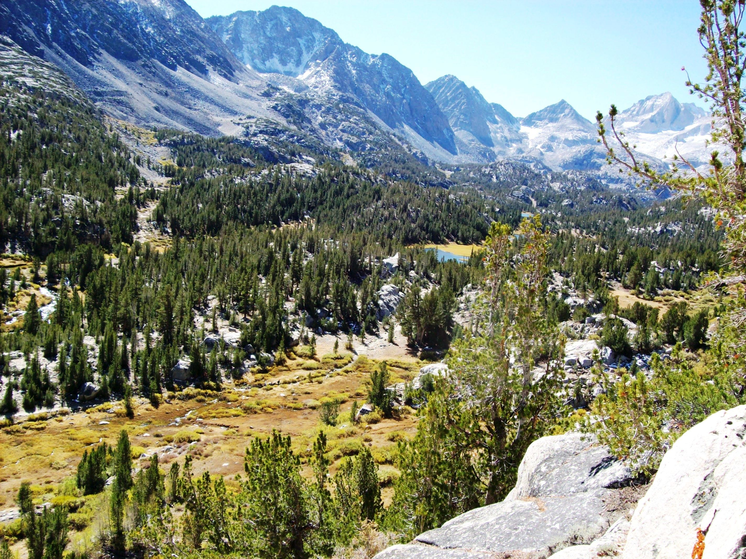
upper Rock Creek basin, view south from Ruby Lake trail, Sierra Nevada
![ranch ca sunset mountain snow mountains barn sunrise landscape flickr sierra snowfall bishop owensvalley seirranevada easternsierra lowerrockcreekroad sierraoctober2007](https://farm3.staticflickr.com/2188/1746731234_ce4246c4ea.jpg)
Sierra Ranch
![california blue mountains hiking hike sierra trail sierranevada highsierra monopass rockcreek tomsplace highway395 sierranationalforest sierranevadamountains easternsierra rubylake johnmuirwilderness inyonationalforest littlelakesvalley inyocounty sierracrest monopasstrail mountstarr mlhradio](https://farm3.staticflickr.com/2418/2125632449_438ba8159c.jpg)
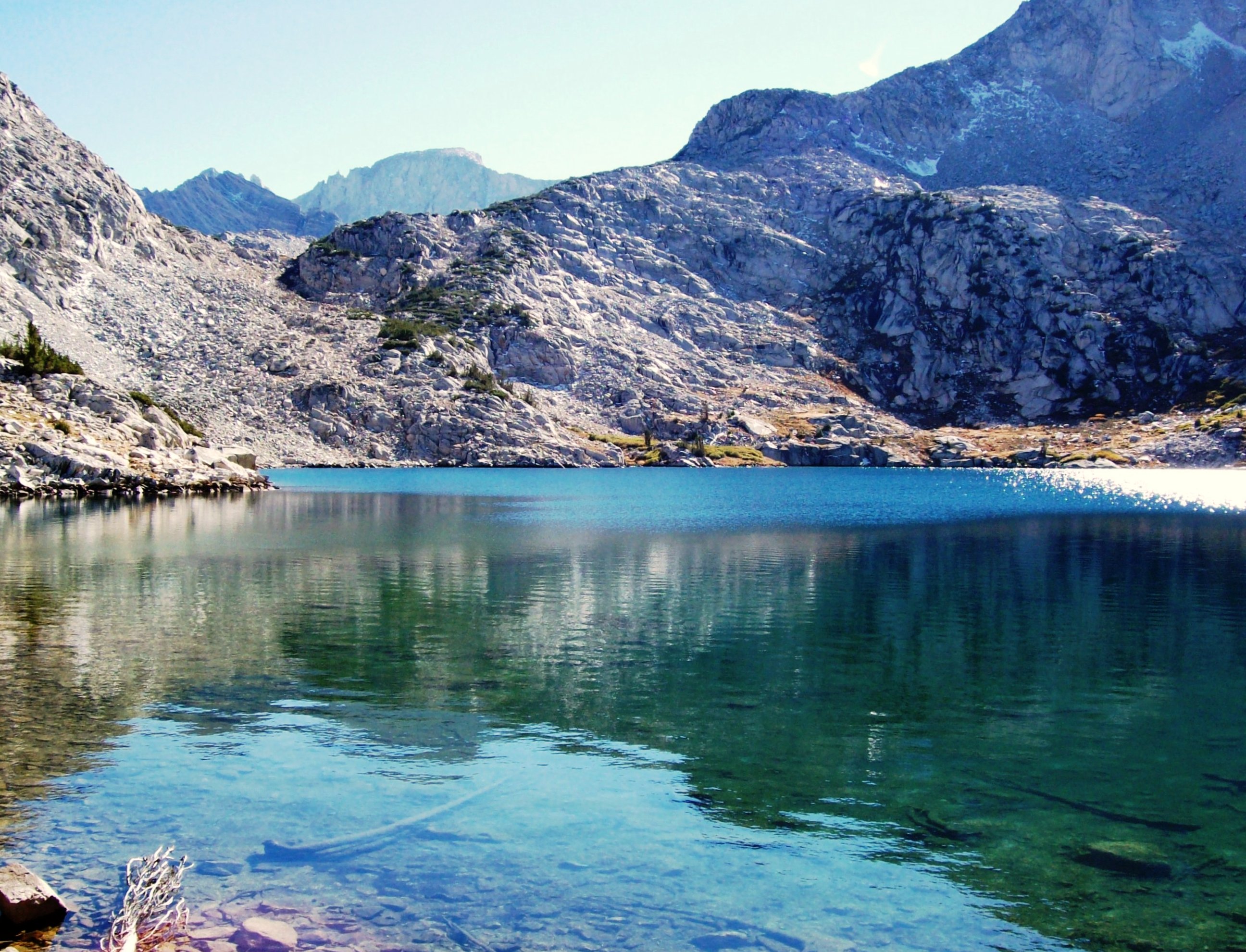
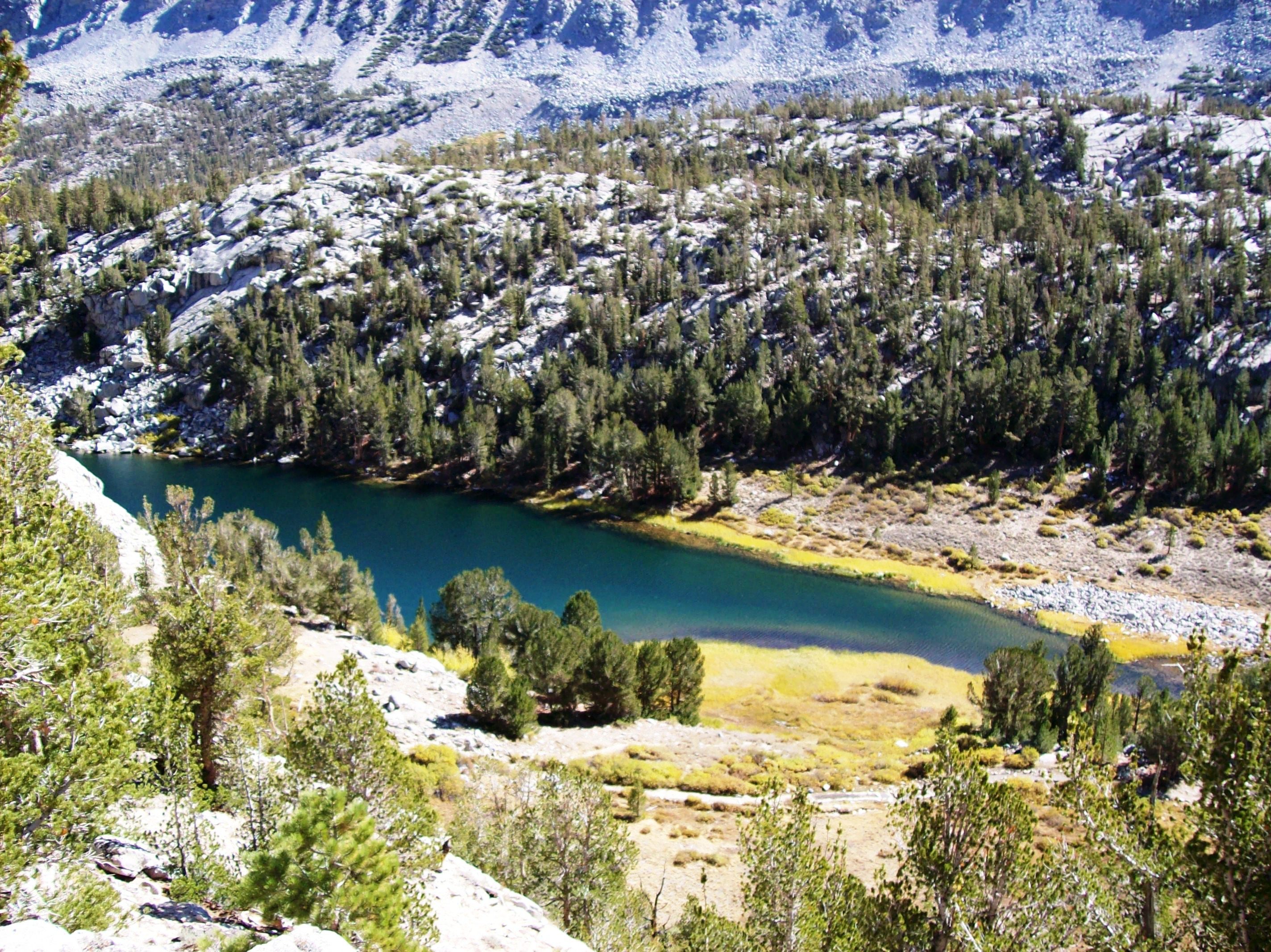
Ruby Lake at 11,000 feet elevation, above the Little Lakes Valley in the Eastern Sierra Mountains (mono63xy)
![california mountains hiking hike sierra trail valley sierranevada highsierra monopass rockcreek tomsplace highway395 sierranationalforest sierranevadamountains easternsierra rubylake johnmuirwilderness inyonationalforest littlelakesvalley inyocounty sierracrest monopasstrail mountstarr mlhradio](https://farm3.staticflickr.com/2226/2125597341_e5e71674b1.jpg)
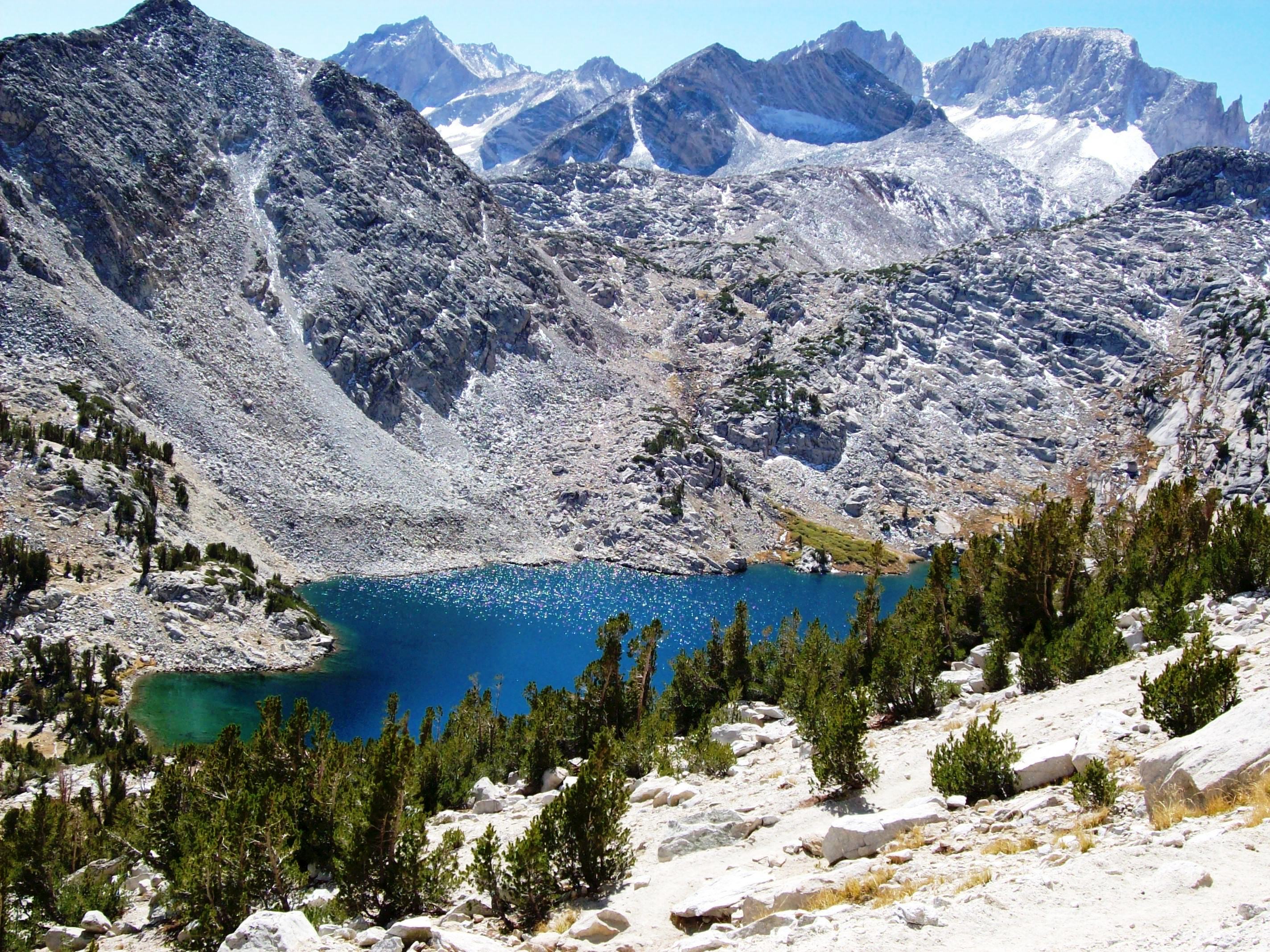
Azure-blue Ruby Lake above Little Lakes Valley, viewed from 11,500 feet, in the Eastern Sierra Mountains (mono24xy)
![california blue mountains hiking hike sierra trail sierranevada highsierra monopass rockcreek tomsplace highway395 sierranationalforest sierranevadamountains easternsierra rubylake johnmuirwilderness inyonationalforest littlelakesvalley inyocounty sierracrest monopasstrail mountstarr mlhradio](https://farm3.staticflickr.com/2325/2126403468_098f46b03e.jpg)
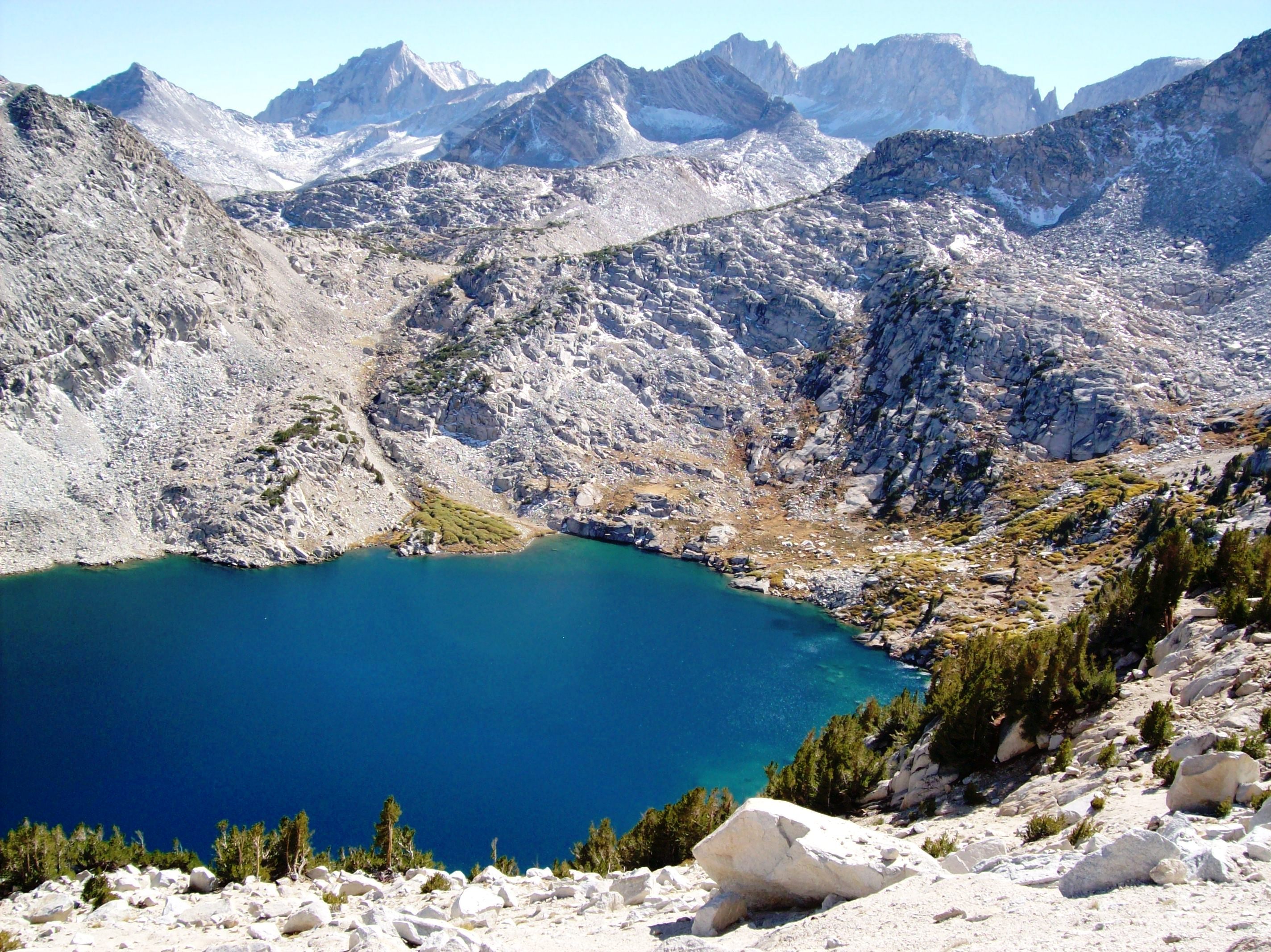
Ruby Lake at 11,000 feet - surrounded by the crest of the Sierra Mountains (mono57xy)
![california ca mountain easternsierra canonef24105mmf4lisusm canoneos6d samanthadecker adobephotoshopcs6](https://farm4.staticflickr.com/3913/14662281978_f6a543051f.jpg)
Eastern Sierra Vista
![california ca mountains west clouds creek landscape open view nevada mcgee pass dramatic sierra eastern vast](https://farm6.staticflickr.com/5751/21693532654_c1472b30d4.jpg)
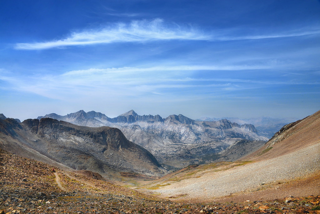
View to the west from McGee Pass, Sierra Nevada, California
![california blue mountains hiking hike sierra trail sierranevada highsierra monopass rockcreek tomsplace highway395 sierranationalforest sierranevadamountains easternsierra rubylake johnmuirwilderness inyonationalforest littlelakesvalley inyocounty sierracrest monopasstrail mountstarr mlhradio](https://farm3.staticflickr.com/2256/2125598309_954b2557c9.jpg)
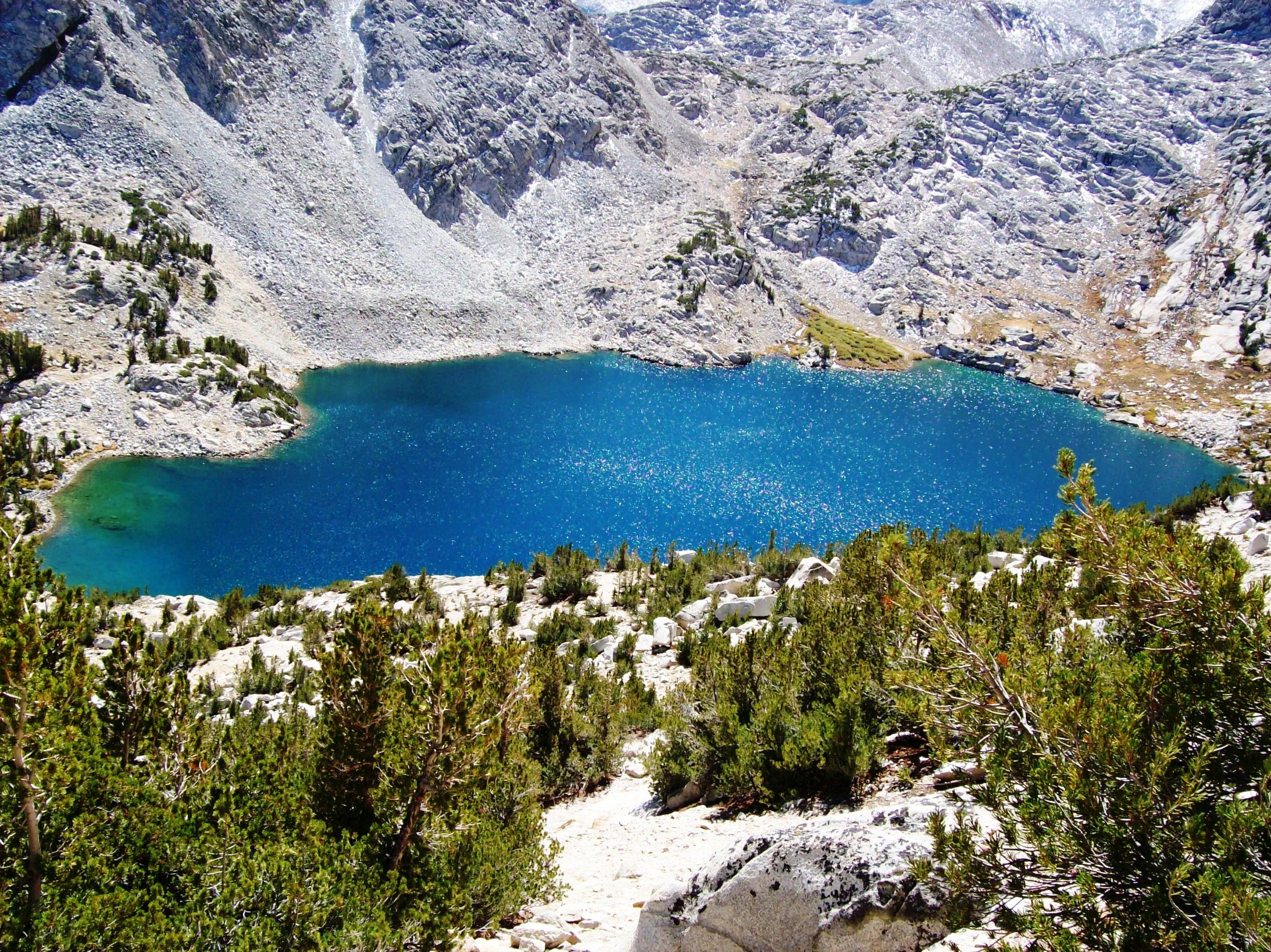
Blue as blue can be - Ruby Lake above Little Lakes Valley, viewed from 11,500 feet, Eastern Sierra (mono25xy)
![california sierranevada highsierra monopass sierracrest](https://farm6.staticflickr.com/5681/22339421382_79161cb246.jpg)
View from Mono Pass - Panorama
![california mountains hiking hike sierra trail sierranevada highsierra monopass rockcreek tomsplace highway395 sierranationalforest sierranevadamountains easternsierra rubylake johnmuirwilderness inyonationalforest littlelakesvalley inyocounty sierracrest monopasstrail mountstarr mlhradio](https://farm3.staticflickr.com/2300/2126404438_abebe32132.jpg)
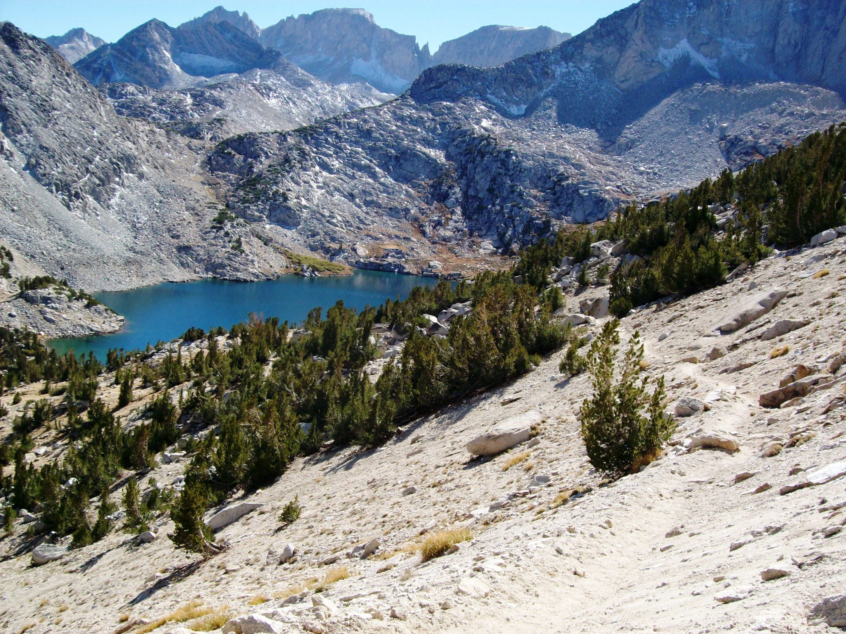
Ruby Lake, right at the treeline in the Eastern Sierra Mountains, from the Mono Pass Trail - mono58x
![california mountains hiking hike sierra trail sierranevada highsierra monopass rockcreek tomsplace highway395 sierranationalforest sierranevadamountains easternsierra johnmuirwilderness inyonationalforest littlelakesvalley inyocounty sierracrest monopasstrail mountstarr mlhradio](https://farm3.staticflickr.com/2413/2126399866_c096a05301.jpg)
Mono Pass in the Eastern Sierra at 12,000 feet, snow-free only a couple of months each year (mono53)
![california mountains hiking hike sierra trail valley sierranevada highsierra monopass rockcreek tomsplace highway395 sierranationalforest sierranevadamountains easternsierra johnmuirwilderness inyonationalforest littlelakesvalley inyocounty sierracrest monopasstrail mountstarr mlhradio](https://farm3.staticflickr.com/2157/2125593745_29782deee2.jpg)
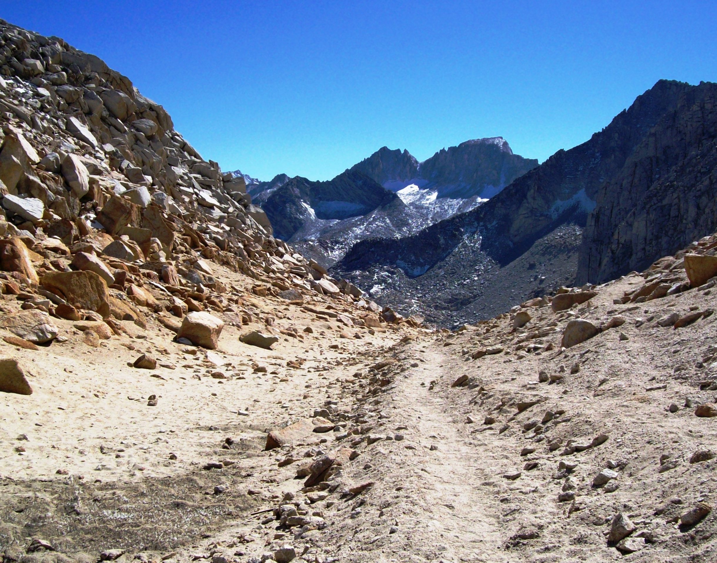
Hiking into the High Sierras along the Mono Pass Trail - mono20
![california mountains hiking hike sierra trail sierranevada highsierra monopass rockcreek tomsplace highway395 sierranationalforest sierranevadamountains easternsierra johnmuirwilderness inyonationalforest littlelakesvalley inyocounty sierracrest monopasstrail mountstarr mlhradio](https://farm3.staticflickr.com/2412/2125584529_86bbd8d360.jpg)
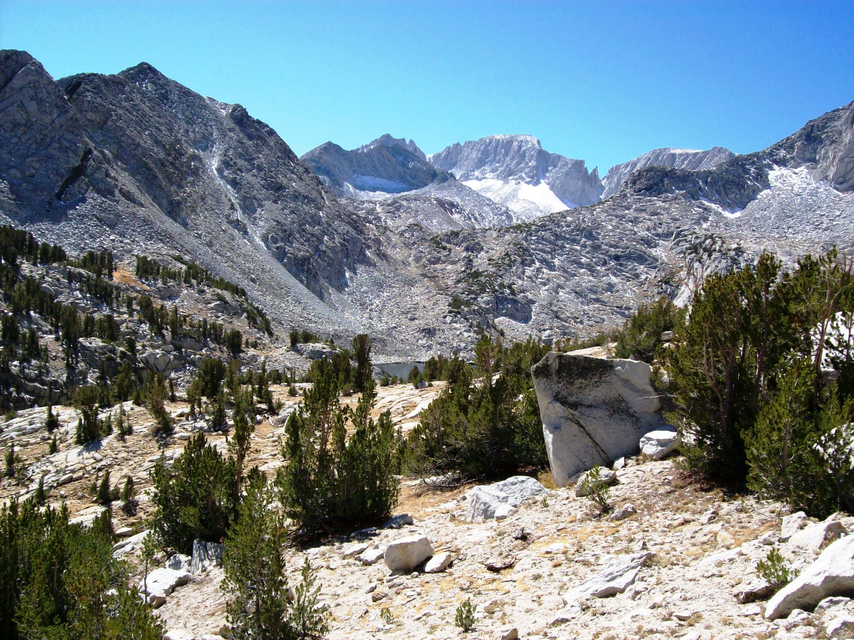
Little Lakes Valley, view from the Mono Pass Trail, Eastern Sierra, CA - mono09x
![california mountains hiking hike sierra trail sierranevada mountainlake highsierra monopass rockcreek tomsplace highway395 sierranationalforest sierranevadamountains easternsierra johnmuirwilderness inyonationalforest littlelakesvalley inyocounty sierracrest monopasstrail mountstarr mlhradio](https://farm3.staticflickr.com/2403/2126360102_122dc4e7ae.jpg)
Hiking up the Mono Pass Trail from the Little Lakes Valley, CA - mono08
![california mountains hiking hike sierra trail sierranevada highsierra monopass rockcreek tomsplace highway395 sierranationalforest sierranevadamountains easternsierra johnmuirwilderness inyonationalforest littlelakesvalley inyocounty sierracrest monopasstrail mountstarr mlhradio mountabbott](https://farm3.staticflickr.com/2359/2125596317_ae4504fa3f.jpg)
Turning the corner around Mount Starr, leaving the Little Lakes Valley behind, Eastern Sierra, CA - mono23
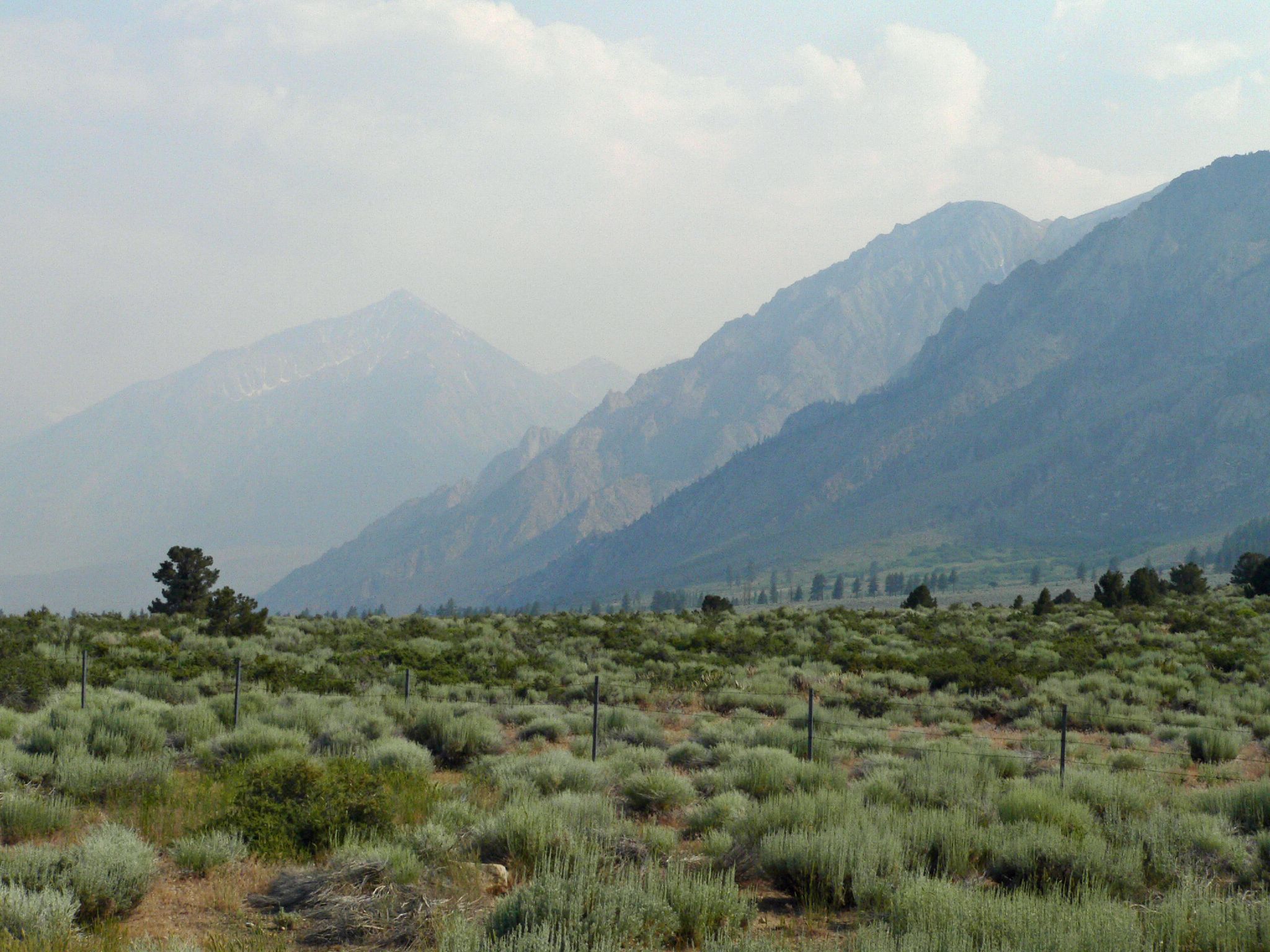
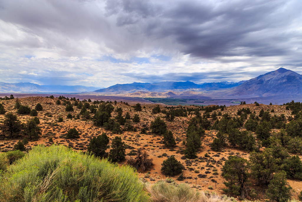
![california landscape lumix fire smoke roadtrip 395 highway395 easternsierra](https://farm4.staticflickr.com/3262/2627935878_a87eea21dd.jpg)
Smoke in the Valley
![california mountains hiking hike sierra trail sierranevada highsierra monopass rockcreek tomsplace highway395 sierranationalforest mountmorgan sierranevadamountains easternsierra johnmuirwilderness inyonationalforest littlelakesvalley inyocounty sierracrest monopasstrail mountstarr mlhradio](https://farm3.staticflickr.com/2184/2125589627_1cd05eee7e.jpg)
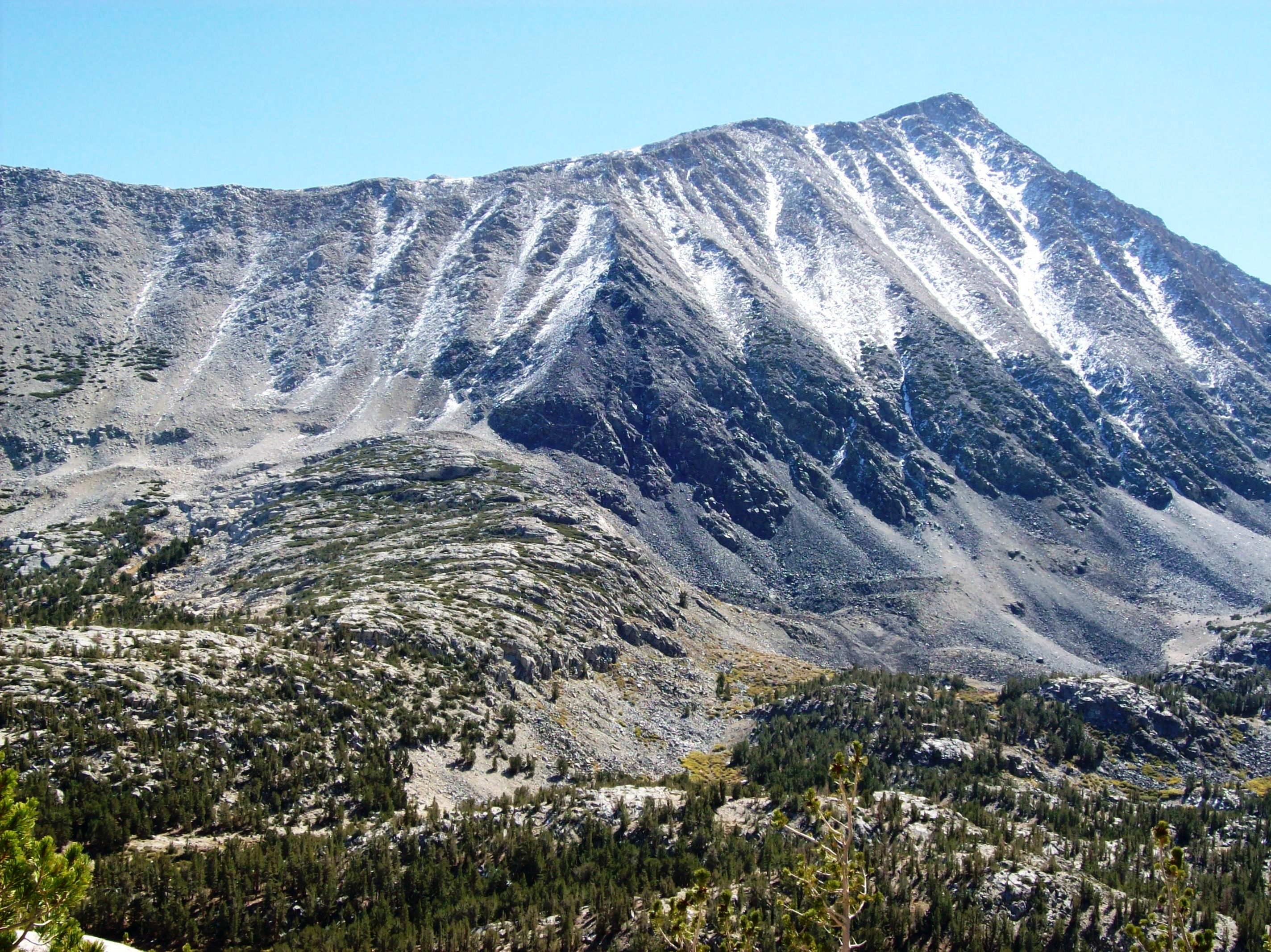
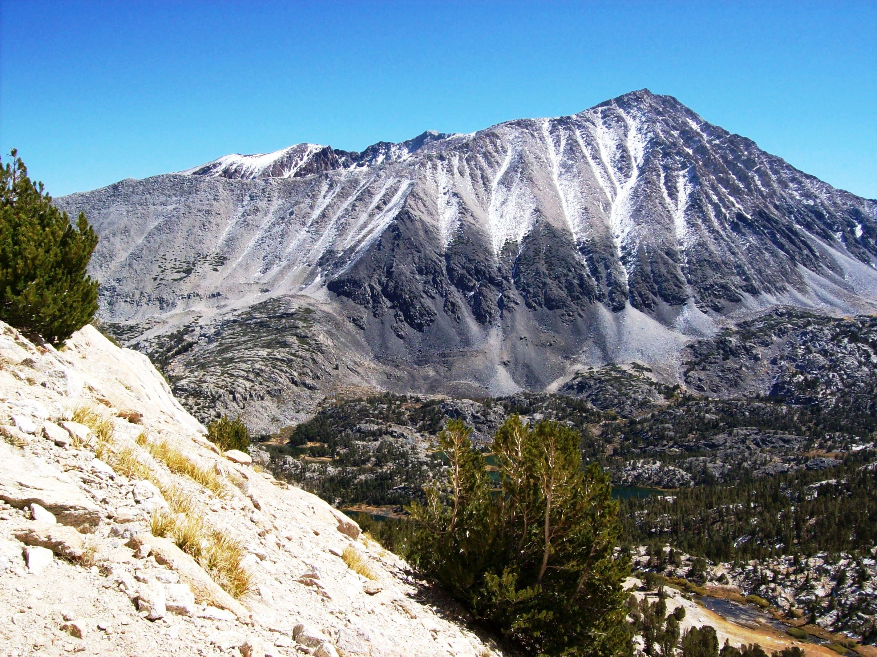
Western flank of Mount Morgan across the Little Lakes Valley, viewed from the flank of Mount Starr - mono15x