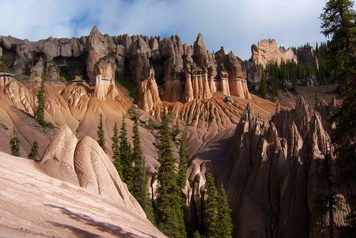
Elevation of Wheeler Geologic Area, Colorado, USA

Location: United States > Colorado > Creede >

Longitude: -106.78365

Latitude: 37.8838881

Elevation: 3589m / 11775feet

Barometric Pressure: 65KPa

Elevation Map:

elevation map of Wheeler Geologic Area, Colorado, USA

Satellite Map:

Satellite map of Wheeler Geologic Area, Colorado, USA

Related Photos:

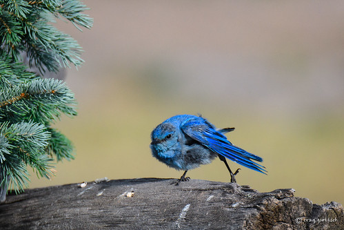
colorado mountainbluebird male blue green avian bird wildlife nature animal nikon d500 600mm sunrays5
Gettin' the kinks out!
colorado mountainbluebird female bird avian nature wildlife animal nikon d500 ngc
Hmmmmmm.........
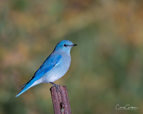
mountainbluebird male morninglight bird avian wildlife blue fence colorado nikon d500 nature ngc npc
The Blues have it
Blue on Black
No Fear
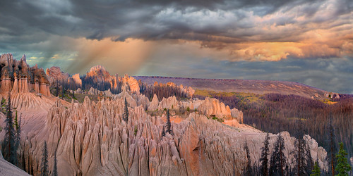
wheelergeologicarea lagaritawilderness coloradomountains panorama highresolution hires rocks sunsetpanorama ptguipro sonyrx100iii
Wheeler Geologic Area
mountainbluebird male bird avian wildlife nature nikon d500
Just One More
robin bird avian wildlife nature nikon d500 green
Yikes! Who pooped?!?!
avian mountainbluebird animals nature wildlife coloradowildlife nikon d500
Mr. Blue
mountainbluebird male bird avian nature wildlife nikon d500
Autumn Blues
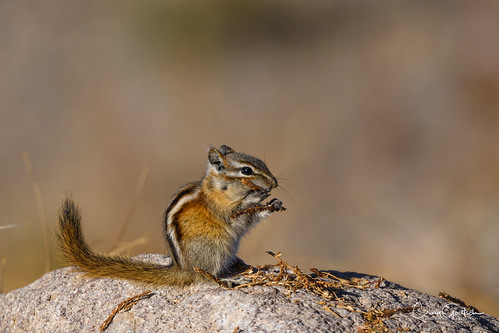
chipmunk mammal wildlife nature colorado nikon d500
Getting Ready!
goldenmantledgroundsquirrel mammal wildlife nature animal wild nikon d500
Harvest-time
nature colorado breathtaking flickraward wheelermonument breathtakinggoldaward natureandnothingelse camfirephotos breathtakinghalloffame wheelergeologicalaera
WHEELER MONUMENT COLORADO
goldenmantledgroundsquirrel mammal wildlife nature nikon d500 colorado
Oh, Bother!
mistycliffs southwesterncolorado bytheriogrande nearwagonwheelgap creedecaldera volcaniccalderarim
Mystic mountain
creed colorado pentax k 5 rocky mountains cemetery
Eternal View
Cliff above Blue Creek
Sunrise spire
Steep slope
sepia rural colorado shadows mining roads steep creede
15% grade
filmnegativescan southcentralcolorado canon8800fscanner nearwagonwheelgap northrimcreedecaldera
Volcanic rim
colorado coloradorockies lagaritawilderness landscape rockymountains southernrockies wheelergeologicarea backcountry backpacking clouds erosion highcountry highelevation mountains tufa wilderness creede unitedstates
Minarets and Temples
colorado coloradorockies lagaritacaldera lagaritawilderness landscape riograndenationalforest rockymountains southernrockies wheelergeologicarea backcountry backpacking clouds erosion highcountry highelevation mountains tufa volcanictuff wilderness creede unitedstates
The Growing and the Dead
colorado coloradorockies lagaritacaldera lagaritawilderness landscape rockymountains southernrockies wheelergeologicarea backcountry backpacking bluesky clouds erosion highcountry highelevation mountains tufa wilderness creede unitedstates tuff volcanictuff
Spires and Domes
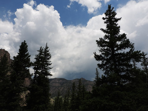
Storm clouds gathering
Colorado. June 2018.
Ute peak alpine glow
Caldera inner rim
Wagon Wheel Gap
Big River Ranch clouds
riogranderiver filmnegativescan southcentralcolorado canon8800fscanner nearwagonwheelgap creedecaldera
Volcanic valley
Rio Grande and Creede Caldera
mountains mill abandoned mystery rural colorado mine decay mining creede
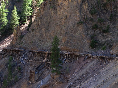
Rail track or another hanging flume?
southwesterncolorado utepeak nearwagonwheelgap creedecalderarim mcclellandmountain
McClelland Mountain
filmnegativescan wagonwheelgap southcentralcolorado canon8800fscanner riogranderivervalley coloradopalisades
Cabin high view
Stormy cliff