Elevation of Westmoreland, TN, USA
Location: United States > Tennessee > Sumner County >
Longitude: -86.248044
Latitude: 36.5619881
Elevation: 283m / 928feet
Barometric Pressure: 98KPa
Elevation Map:
Satellite Map:
Related Photos:
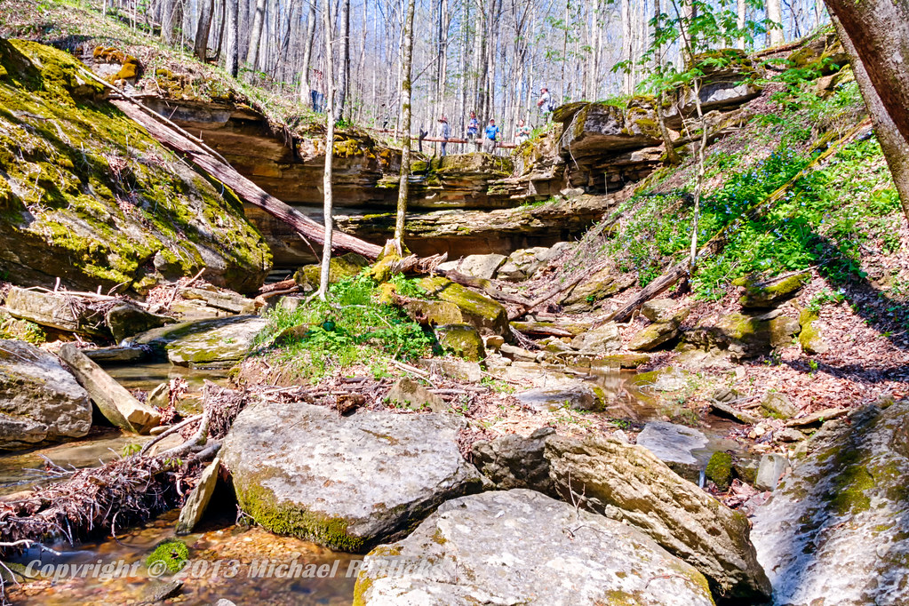
Taylor Hollow State Natural Area - April 13, 2013
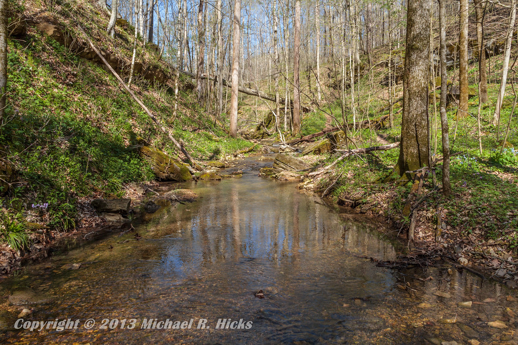
Taylor Hollow State Natural Area - April 13, 2013
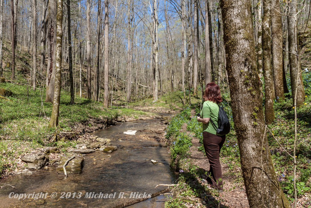
Taylor Hollow State Natural Area - April 13, 2013
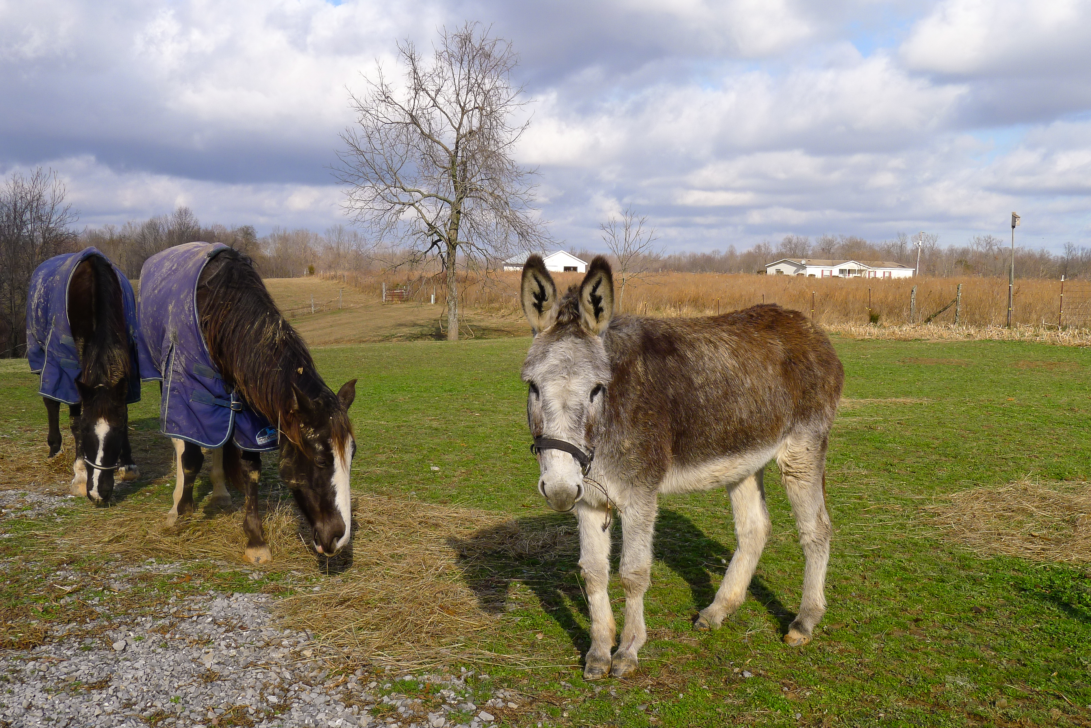
Pilar's pets

Blue-Eyed Mary
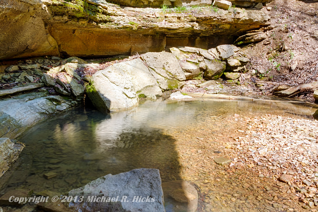
Taylor Hollow State Natural Area - April 13, 2013

Jackie & Pisco
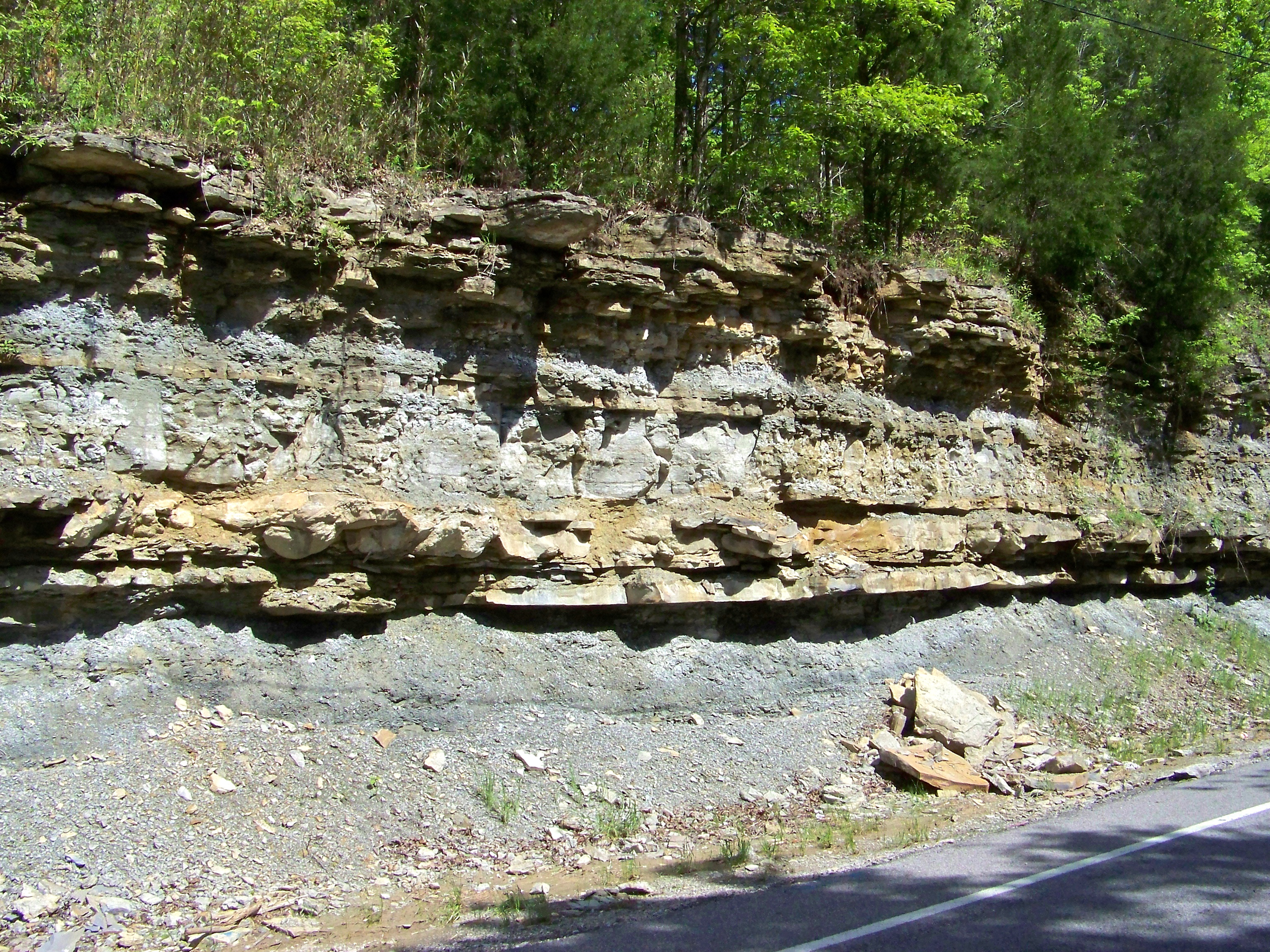
Road Cut

IMG_6988

IMG_6989

IMG_6991

IMG_5103

IMG_3260

IMG_5104

_MG_1536

IMG_9271

IMG_9277
IMG_9276

IMG_9274

IMG_9273

IMG_9270
IMG_9269

IMG_9268
IMG_9267

IMG_9263

IMG_9262
IMG_9259

IMG_9257
IMG_9252
Topographic Map of Westmoreland, TN, USA
Find elevation by address:

Places in Westmoreland, TN, USA:
Thompson Rd, Westmoreland, TN, USA
Luby Brown Rd, Westmoreland, TN, USA
Rocky Mound Rd, Westmoreland, TN, USA
Oakdale Rd, Westmoreland, TN, USA
Nubia Rd, Westmoreland, TN, USA
Ada Coats Road
Westmoreland, TN, USA
Places near Westmoreland, TN, USA:
10861 Old Hwy 52
Rogues Fork Rd, Bethpage, TN, USA
1309 Rogues Fork Rd
Wolf Hill Road
162 Tuttle Ln
Mutton Hollow Hill Road
Bethpage
200 Bob Perry Rd
Rock Bridge
710 Rock Bridge Rd
8760 Storytown Rd
595 Storytown Rd
Halltown Rd, Hartsville, TN, USA
Castalian Springs
Canoe Branch Rd, Castalian Springs, TN, USA
4 Halltown Rd
1038 Cragfont Estates Rd
1036 Cragfont Estates Rd
Hartsville
Trousdale County
Recent Searches:
- Elevation of Corso Fratelli Cairoli, 35, Macerata MC, Italy
- Elevation of Tallevast Rd, Sarasota, FL, USA
- Elevation of 4th St E, Sonoma, CA, USA
- Elevation of Black Hollow Rd, Pennsdale, PA, USA
- Elevation of Oakland Ave, Williamsport, PA, USA
- Elevation of Pedrógão Grande, Portugal
- Elevation of Klee Dr, Martinsburg, WV, USA
- Elevation of Via Roma, Pieranica CR, Italy
- Elevation of Tavkvetili Mountain, Georgia
- Elevation of Hartfords Bluff Cir, Mt Pleasant, SC, USA