Elevation of Bob Perry Rd, Bethpage, TN, USA
Location: United States > Tennessee > Bethpage >
Longitude: -86.351919
Latitude: 36.5319856
Elevation: 272m / 892feet
Barometric Pressure: 98KPa
Elevation Map:
Satellite Map:
Related Photos:
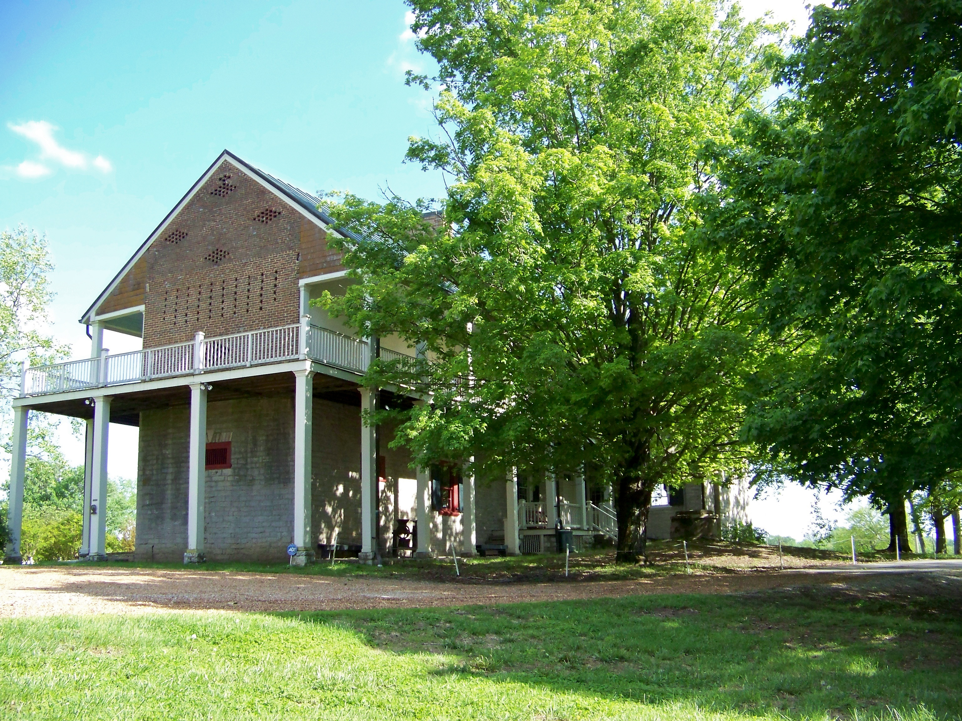
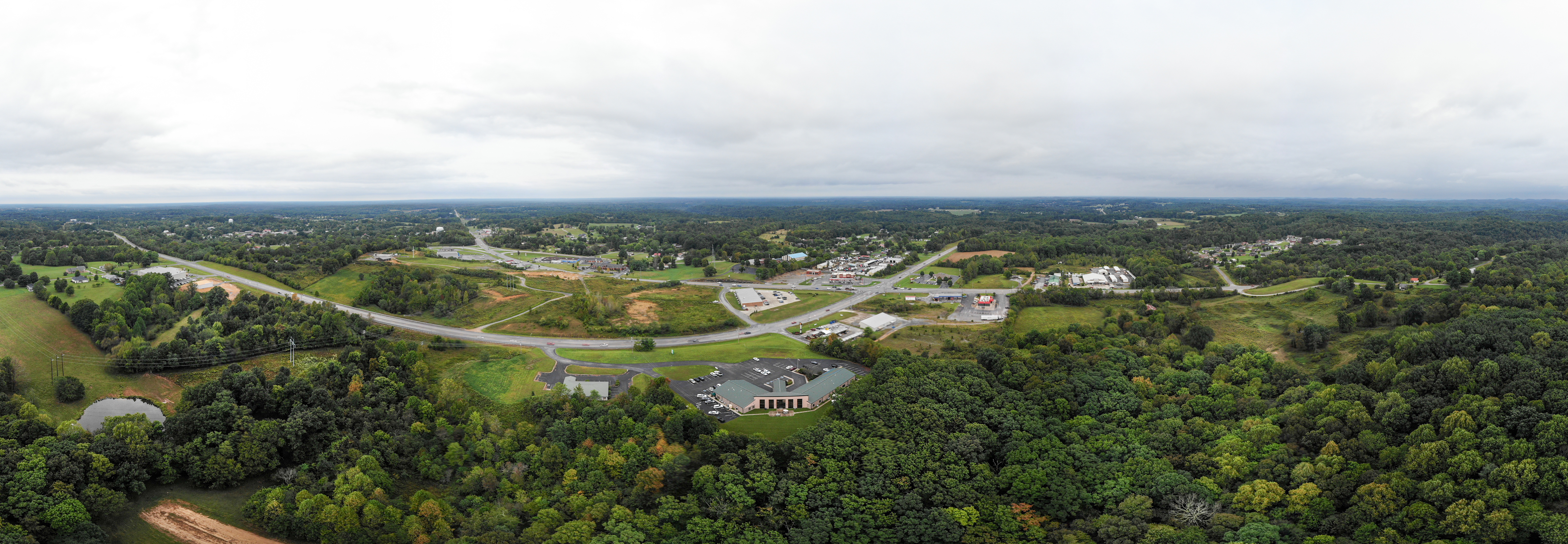
Rear View
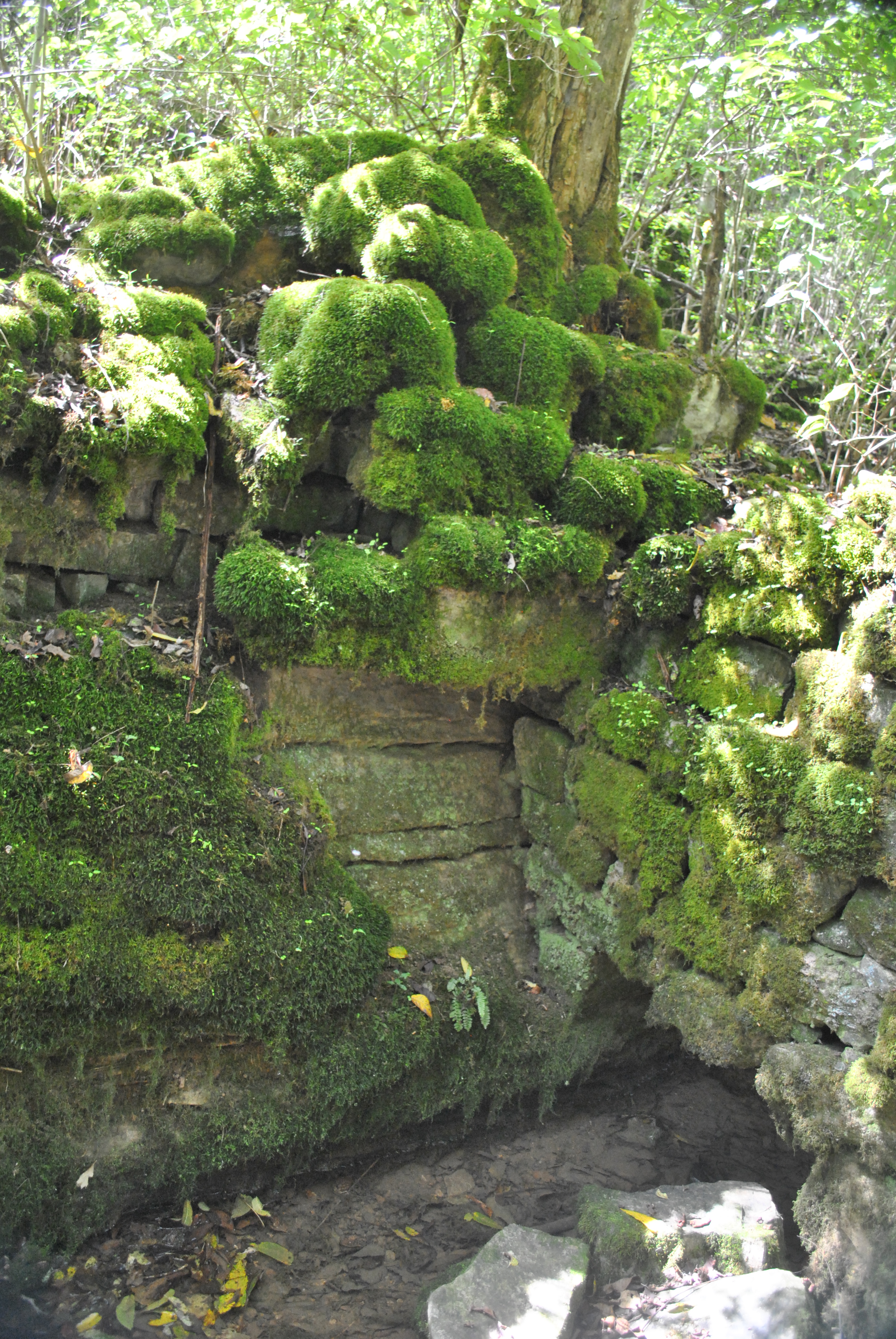
Bledsoe's Spring Ruins

Avery's Trace
Bledsoe's Fort Site

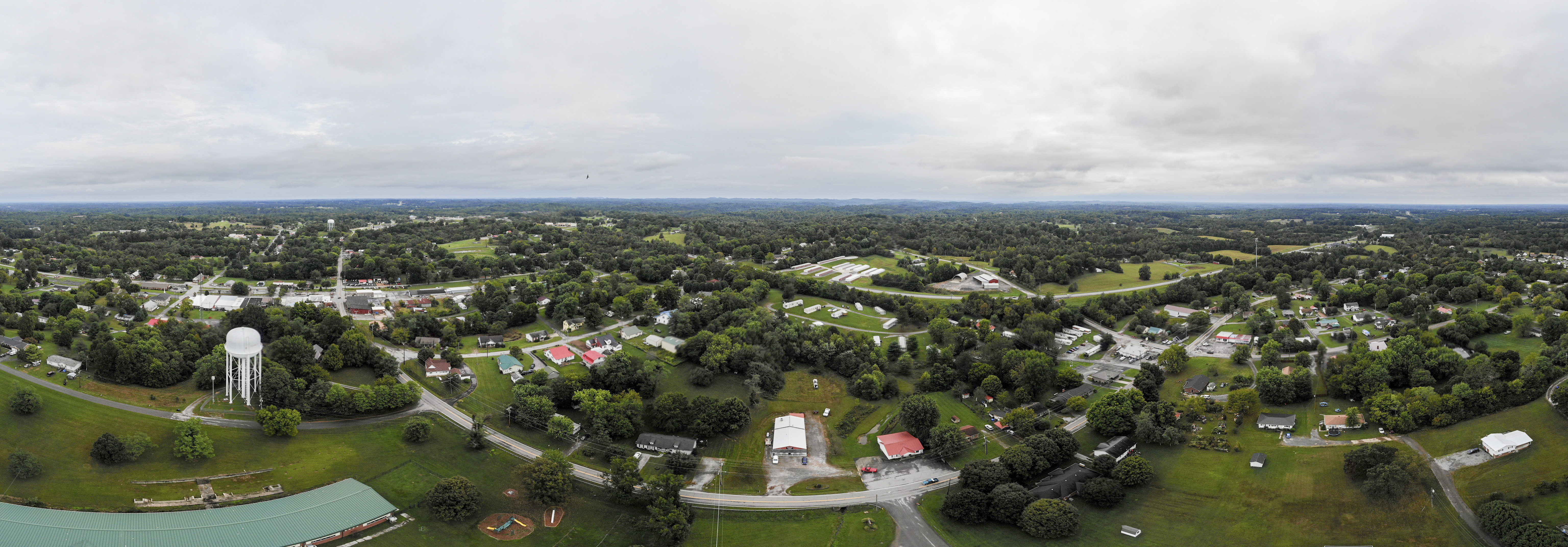
20180926-RD-LSC-0172
Site of Bledsoe's Station
20180926-RD-LSC-0118

Pioneer Cemetery
20180926-RD-LSC-0173

2011-10-30 Sheppard Photo Shoot-255-1-2
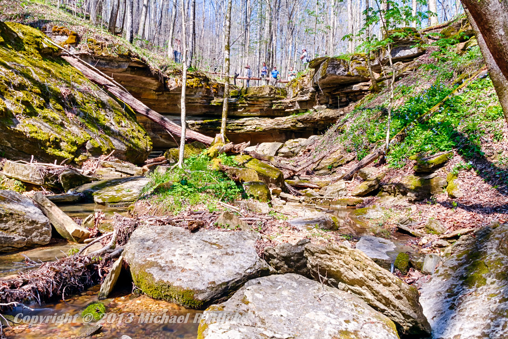
Taylor Hollow State Natural Area - April 13, 2013
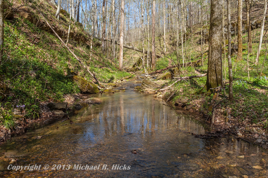
Taylor Hollow State Natural Area - April 13, 2013
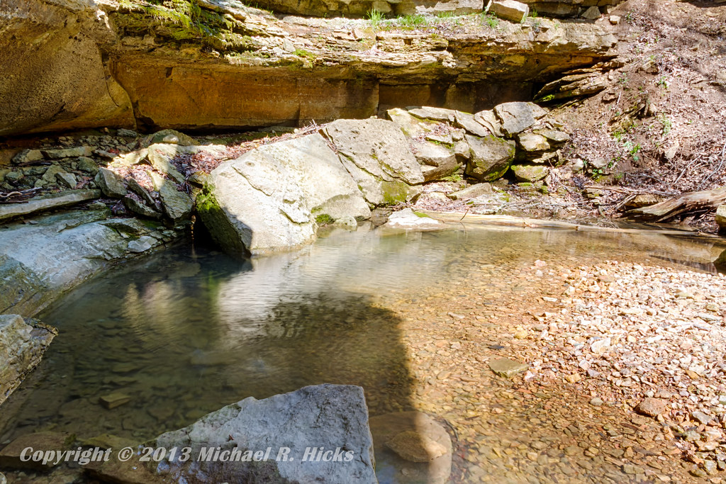
Taylor Hollow State Natural Area - April 13, 2013
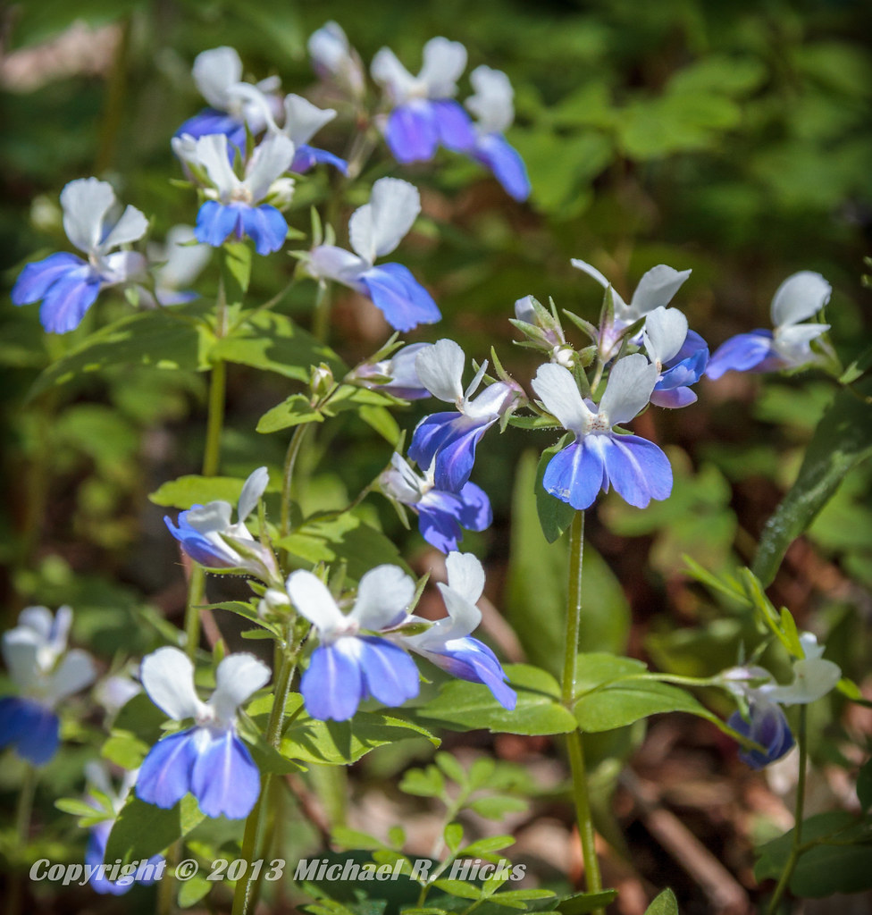
Blue-Eyed Mary
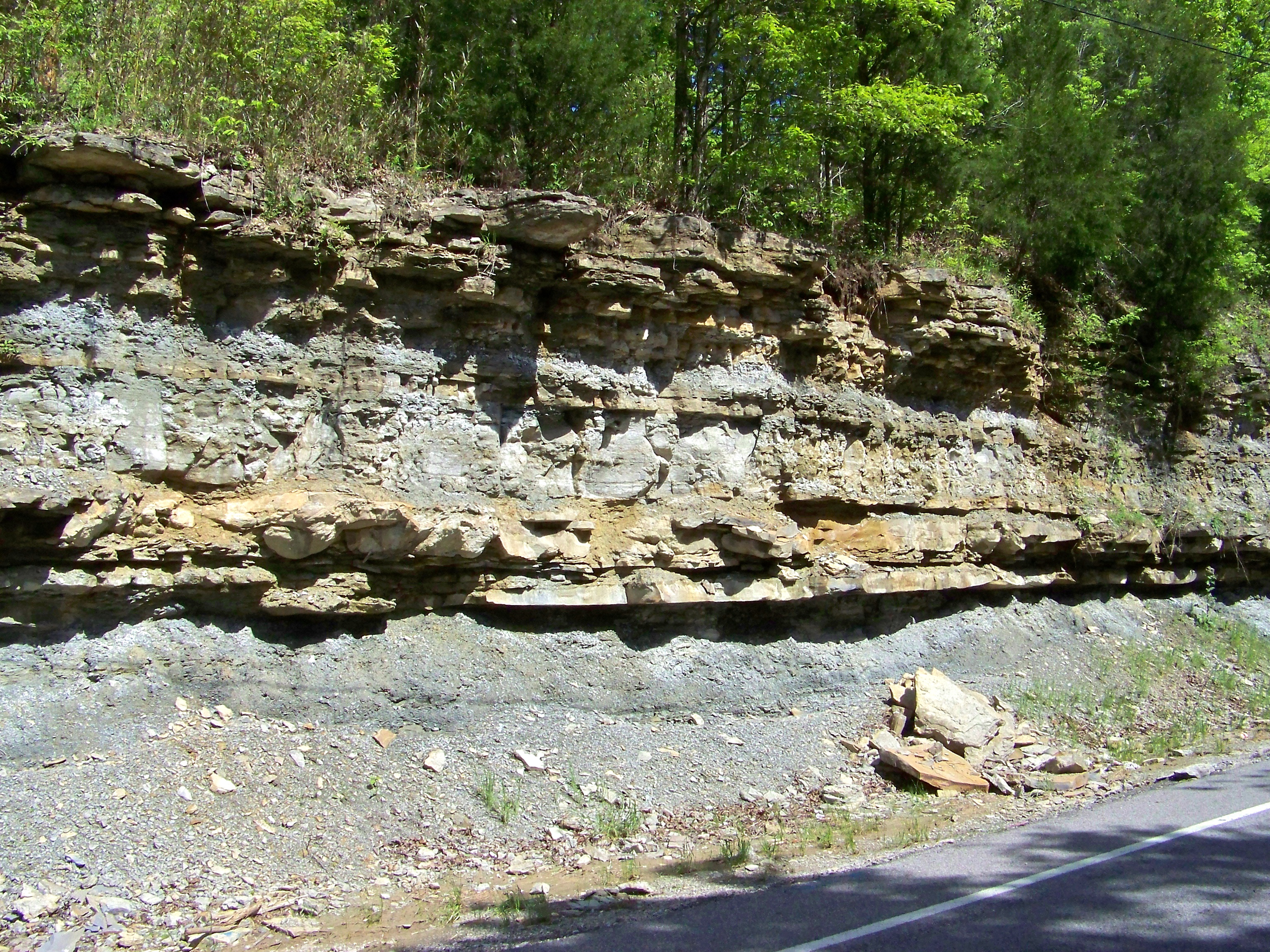
Road Cut
Topographic Map of Bob Perry Rd, Bethpage, TN, USA
Find elevation by address:

Places near Bob Perry Rd, Bethpage, TN, USA:
Rock Bridge
1309 Rogues Fork Rd
Rogues Fork Rd, Bethpage, TN, USA
Bethpage
710 Rock Bridge Rd
Mutton Hollow Hill Road
2198b Dobbins Pike
162 Tuttle Ln
Westmoreland
608 S Tunnel Rd
612 S Tunnel Rd
612 S Tunnel Rd
604 S Tunnel Rd
606 S Tunnel Rd
580 Lindsey Hollow Rd
Wolf Hill Road
1038 Cragfont Estates Rd
1036 Cragfont Estates Rd
Douglas Loop
Douglas Loop
Recent Searches:
- Elevation of Corso Fratelli Cairoli, 35, Macerata MC, Italy
- Elevation of Tallevast Rd, Sarasota, FL, USA
- Elevation of 4th St E, Sonoma, CA, USA
- Elevation of Black Hollow Rd, Pennsdale, PA, USA
- Elevation of Oakland Ave, Williamsport, PA, USA
- Elevation of Pedrógão Grande, Portugal
- Elevation of Klee Dr, Martinsburg, WV, USA
- Elevation of Via Roma, Pieranica CR, Italy
- Elevation of Tavkvetili Mountain, Georgia
- Elevation of Hartfords Bluff Cir, Mt Pleasant, SC, USA