Elevation of Rogues Fork Rd, Bethpage, TN, USA
Location: United States > Tennessee > Sumner County >
Longitude: -86.303652
Latitude: 36.546544
Elevation: 255m / 837feet
Barometric Pressure: 98KPa
Elevation Map:
Satellite Map:
Related Photos:
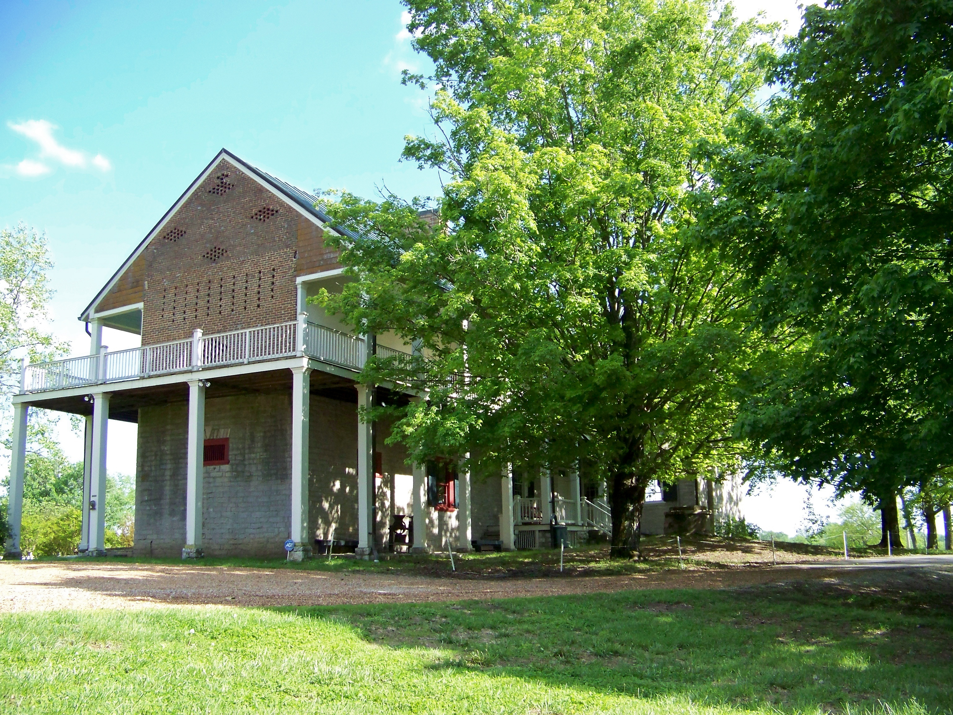
Rear View
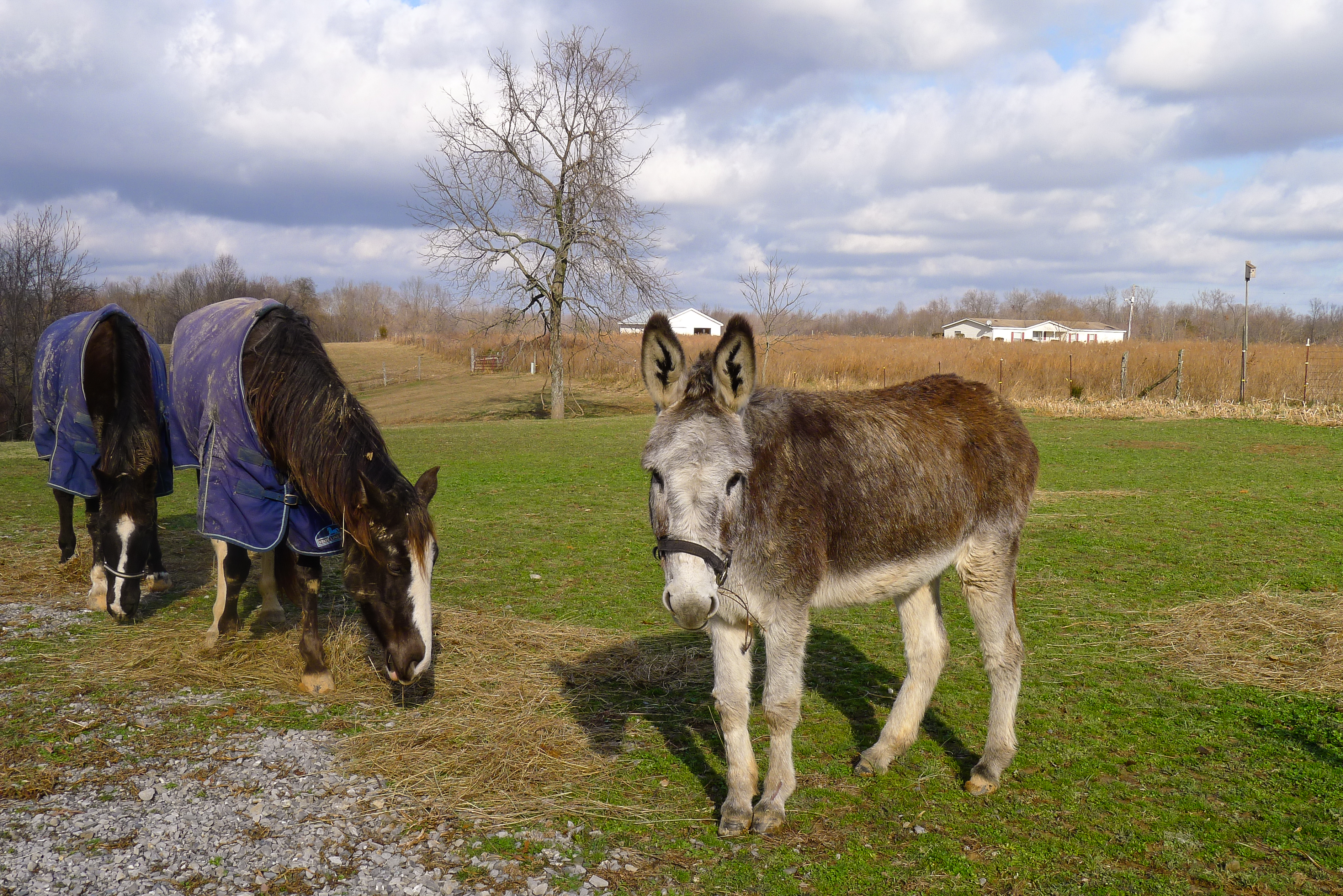
Pilar's pets

Jackie & Pisco

HDR Barn 01

2011-10-30 Sheppard Photo Shoot-255-1-2
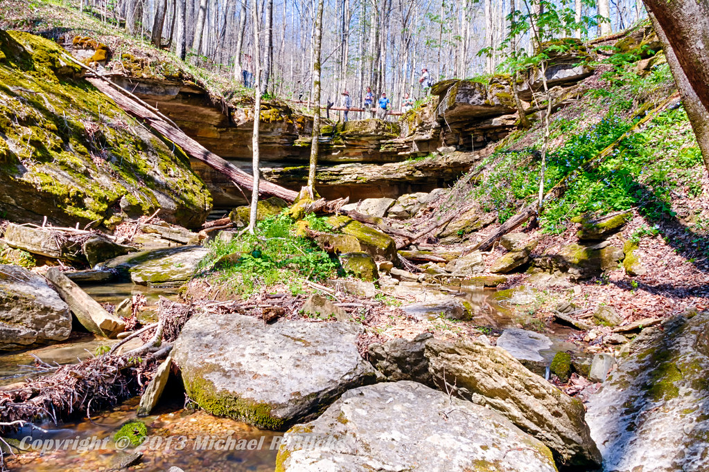
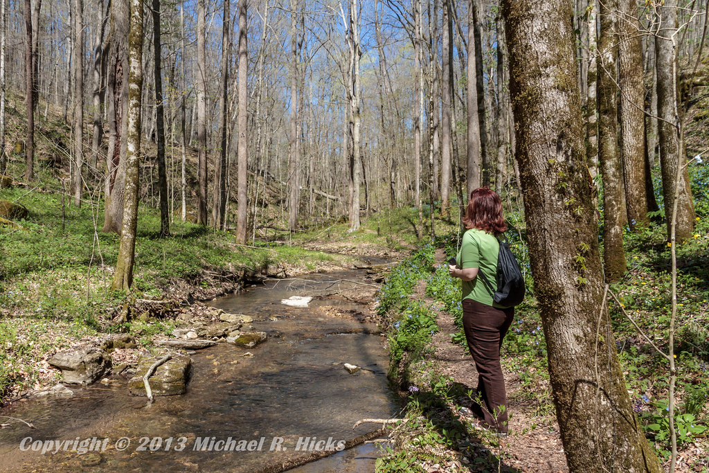
Taylor Hollow State Natural Area - April 13, 2013
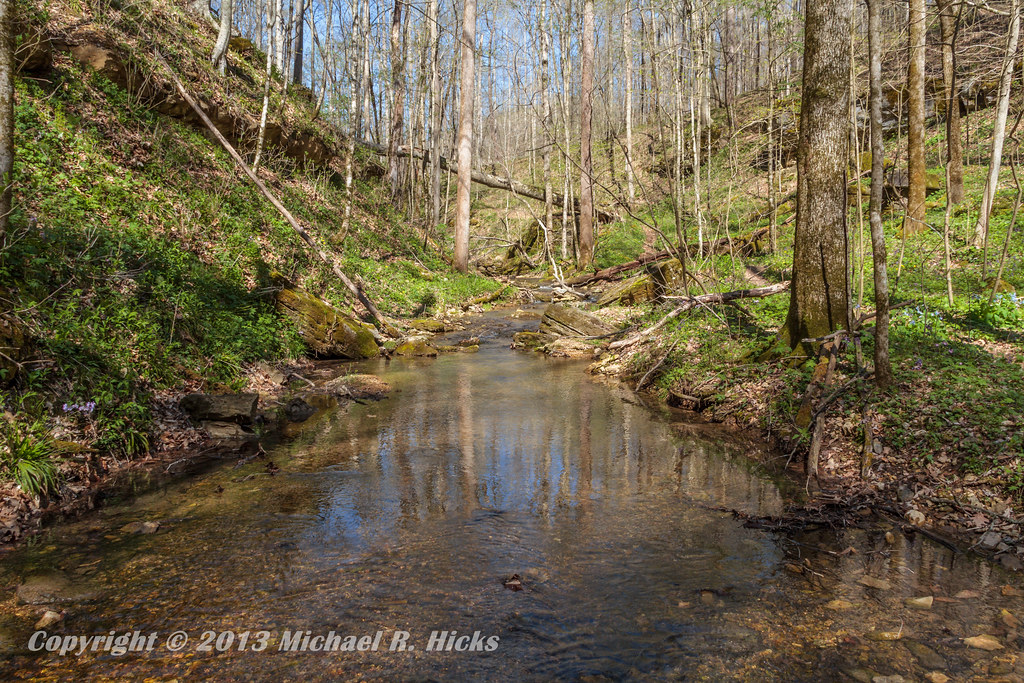
Taylor Hollow State Natural Area - April 13, 2013
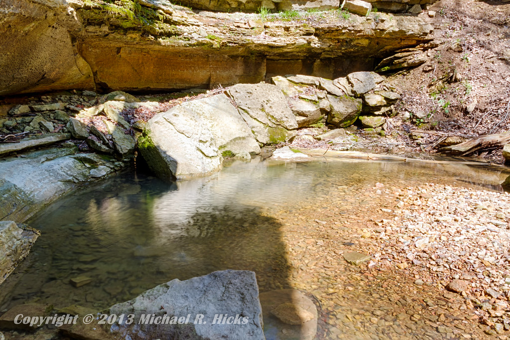
Taylor Hollow State Natural Area - April 13, 2013
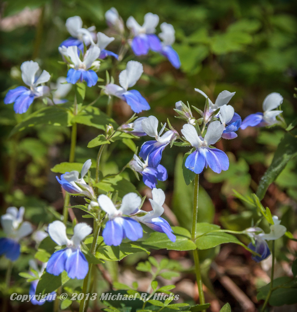
Blue-Eyed Mary
Taylor Hollow State Natural Area - April 13, 2013
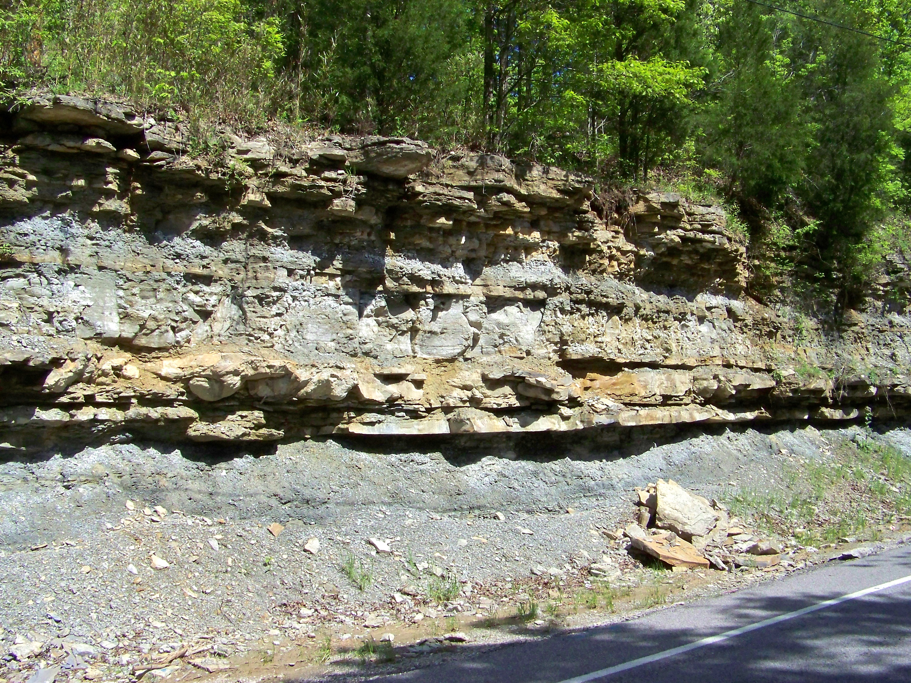
Road Cut
Topographic Map of Rogues Fork Rd, Bethpage, TN, USA
Find elevation by address:

Places near Rogues Fork Rd, Bethpage, TN, USA:
1309 Rogues Fork Rd
200 Bob Perry Rd
Westmoreland
Bethpage
Mutton Hollow Hill Road
162 Tuttle Ln
Rock Bridge
Wolf Hill Road
10861 Old Hwy 52
710 Rock Bridge Rd
2198b Dobbins Pike
1038 Cragfont Estates Rd
1036 Cragfont Estates Rd
Castalian Springs
Canoe Branch Rd, Castalian Springs, TN, USA
608 S Tunnel Rd
580 Lindsey Hollow Rd
612 S Tunnel Rd
612 S Tunnel Rd
604 S Tunnel Rd
Recent Searches:
- Elevation of Corso Fratelli Cairoli, 35, Macerata MC, Italy
- Elevation of Tallevast Rd, Sarasota, FL, USA
- Elevation of 4th St E, Sonoma, CA, USA
- Elevation of Black Hollow Rd, Pennsdale, PA, USA
- Elevation of Oakland Ave, Williamsport, PA, USA
- Elevation of Pedrógão Grande, Portugal
- Elevation of Klee Dr, Martinsburg, WV, USA
- Elevation of Via Roma, Pieranica CR, Italy
- Elevation of Tavkvetili Mountain, Georgia
- Elevation of Hartfords Bluff Cir, Mt Pleasant, SC, USA