Elevation of West Township, IL, USA
| Latitude | 40.3210139 |
|---|---|
| Longitude | -88.6144839 |
| Elevation | 227m / 745feet |
| Barometric Pressure | 986KPa |
Related Photos:
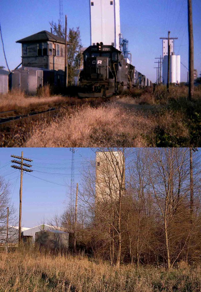
Conrail #7705 Farmer City, Illinois

Blast from the past

Lone Fisherman

SNG on the Road-82

Heat Distortion

Moraine View State Park

Downy Woodpecker

SNG on the Road-19

Moraine View State Park
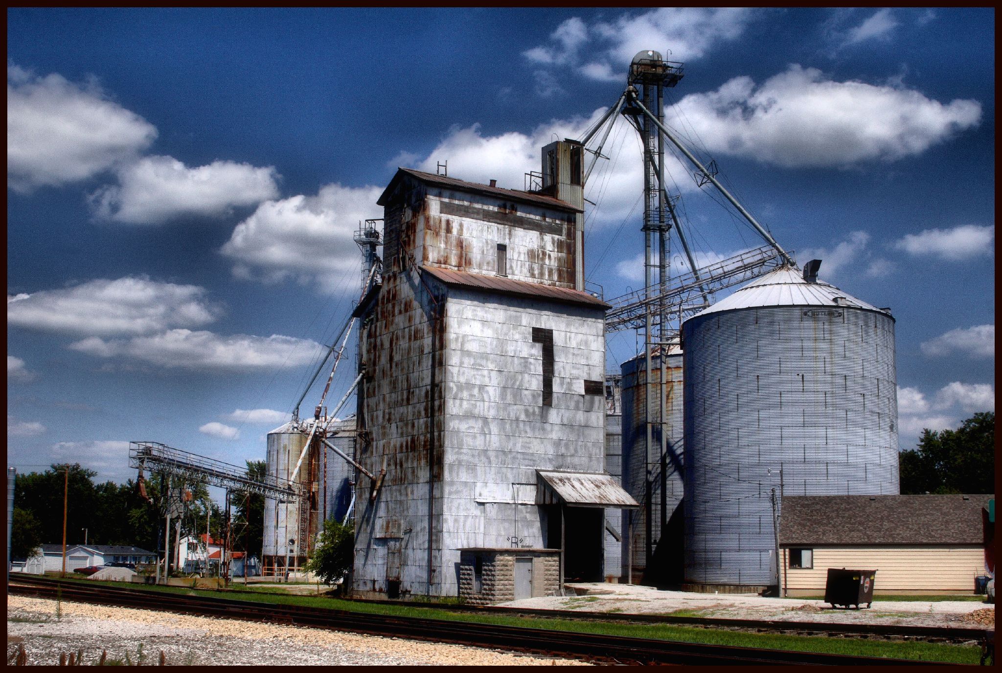
Bellflower Grain Elevator IV
Moraine View State Park
DT: Photo 1 - (Landscape B&W) - A gray day in the park
SNG on the Road-31
Day 208 - Moraine View backwater
Moraine View State Park
Moraine View State Park

DT: Photo 5 (Panorama - Landscape) - Docks @ Moraine View State Park

SNG on the Road-83
SNG on the Road-22

SNG on the Road-57
Moraine View State Park
Birds Fly in Unison. Rural Farmer City, IL. 2012.
Illinois Sky
Peoria August 2012
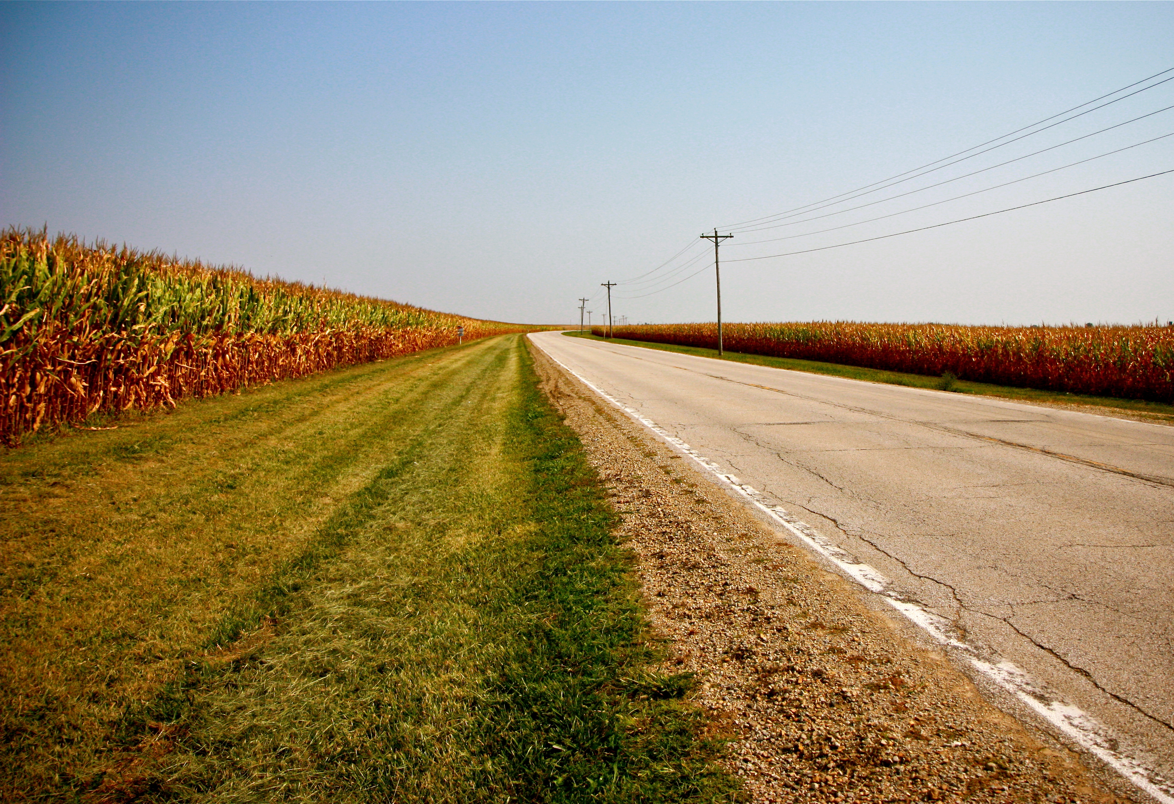
Rural Landscape. Farmer City, IL. 2012.
Moraine View State Park
Landscape. 2013.

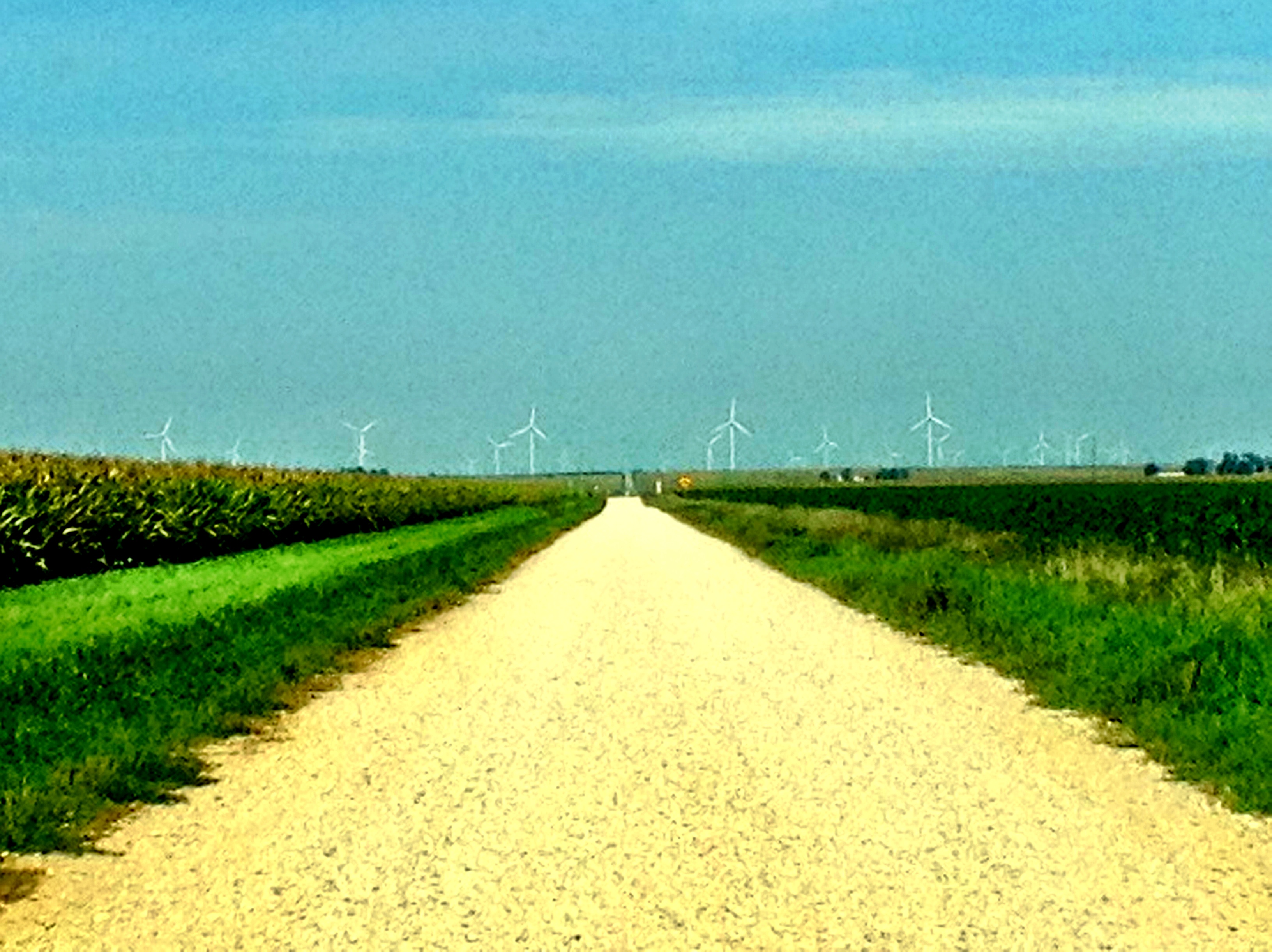
Sunset and Wind Farm
The Hard Road
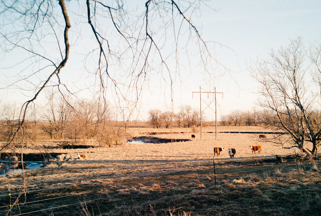
Back Forty

#helicopter #services #of #illinois #awesome #ass #job

Sunset and Wind Farm

Sunset and Wind Farm

McLean County, Illinois Abandoned Grain Elevator
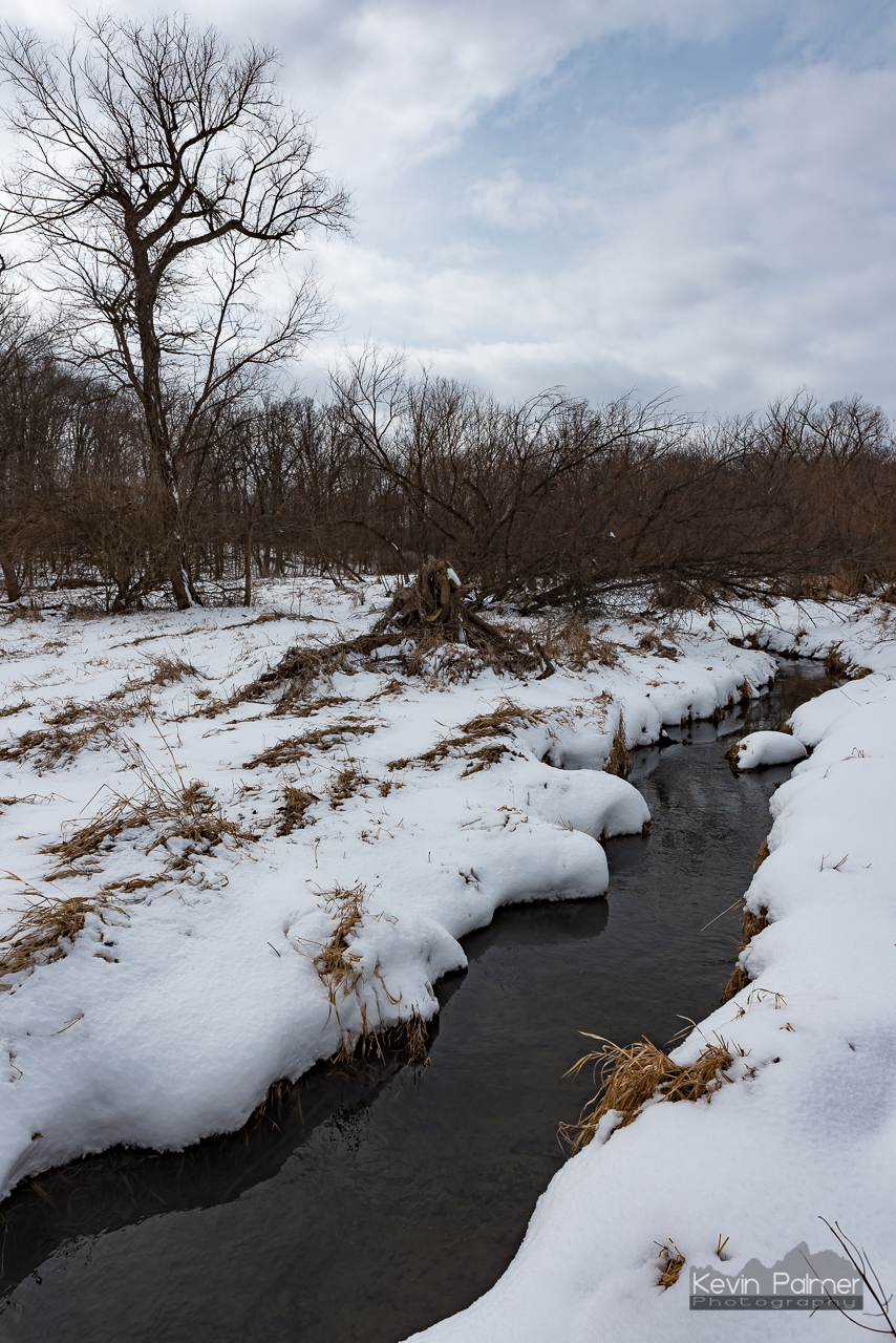
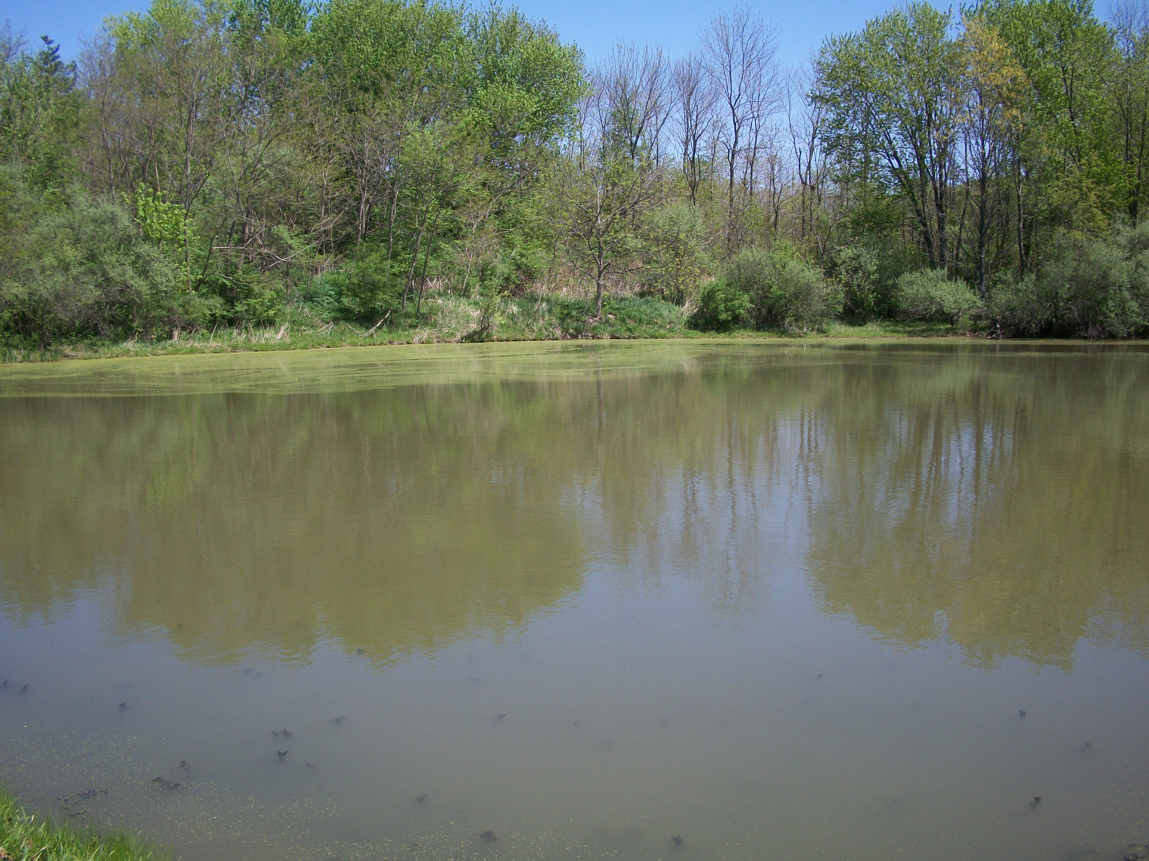
Moraine View Creek
Hold me
Moraine View State Park
Tree Roots...

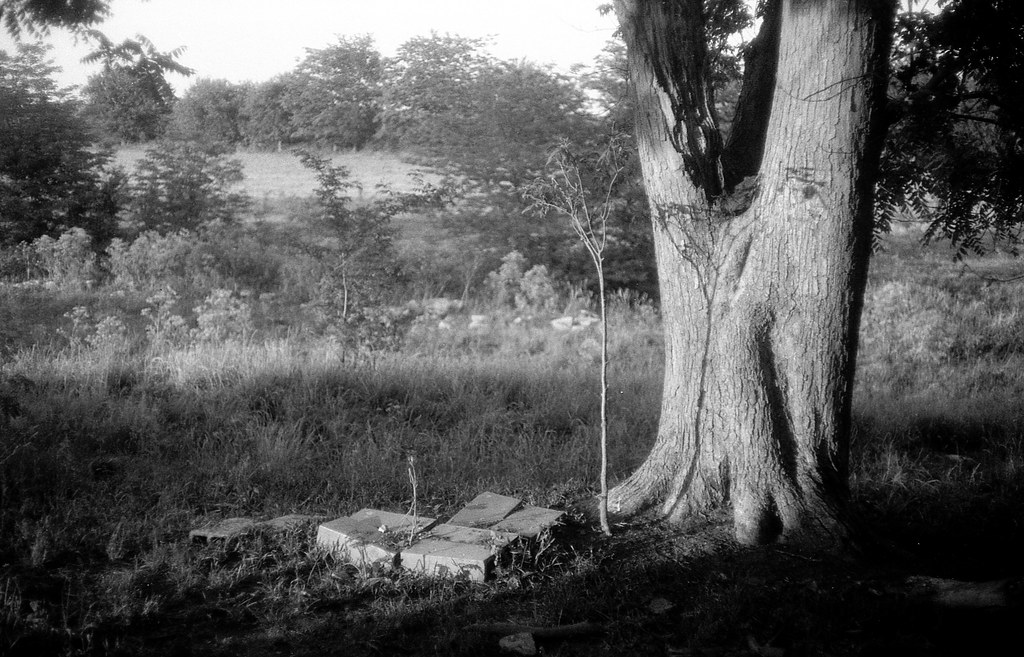
visiting (Riverside Cemetery, Saybrook, IL)
Topographic Map of West Township, IL, USA
Find elevation by address:
Places in West Township, IL, USA:
Places near West Township, IL, USA:
N East Rd, Arrowsmith, IL, USA
E North Rd, Le Roy, IL, USA
Arrowsmith Township
Arrowsmith
N Main St, Arrowsmith, IL, USA
Empire Township
307 Mockingbird Ln
Le Roy
De Witt Township
Dawson Township
IL-48, Farmer City, IL, USA
De Land
S Hwy Ave, De Land, IL, USA
17710 Prairie Chapel Rd
Martin Township
Goose Creek Township
Downs Township
25 Rr 1, Downs, IL, USA
Blue Mound Township
Weldon
Recent Searches:
- Elevation of 104, Chancery Road, Middletown Township, Bucks County, Pennsylvania, 19047, USA
- Elevation of 1212, Cypress Lane, Dayton, Liberty County, Texas, 77535, USA
- Elevation map of Central Hungary, Hungary
- Elevation map of Pest, Central Hungary, Hungary
- Elevation of Pilisszentkereszt, Pest, Central Hungary, Hungary
- Elevation of Dharamkot Tahsil, Punjab, India
- Elevation of Bhinder Khurd, Dharamkot Tahsil, Punjab, India
- Elevation of 2881, Chabot Drive, San Bruno, San Mateo County, California, 94066, USA
- Elevation of 10370, West 107th Circle, Westminster, Jefferson County, Colorado, 80021, USA
- Elevation of 611, Roman Road, Old Ford, Bow, London, England, E3 2RW, United Kingdom
- Elevation of 116, Beartown Road, Underhill, Chittenden County, Vermont, 05489, USA
- Elevation of Window Rock, Colfax County, New Mexico, 87714, USA
- Elevation of 4807, Rosecroft Street, Kempsville Gardens, Virginia Beach, Virginia, 23464, USA
- Elevation map of Matawinie, Quebec, Canada
- Elevation of Sainte-Émélie-de-l'Énergie, Matawinie, Quebec, Canada
- Elevation of Rue du Pont, Sainte-Émélie-de-l'Énergie, Matawinie, Quebec, J0K2K0, Canada
- Elevation of 8, Rue de Bécancour, Blainville, Thérèse-De Blainville, Quebec, J7B1N2, Canada
- Elevation of Wilmot Court North, 163, University Avenue West, Northdale, Waterloo, Region of Waterloo, Ontario, N2L6B6, Canada
- Elevation map of Panamá Province, Panama
- Elevation of Balboa, Panamá Province, Panama