Elevation of Downs Township, IL, USA
Location: United States > Illinois > Mclean County >
Longitude: -88.8455037
Latitude: 40.3235406
Elevation: 243m / 797feet
Barometric Pressure: 0KPa
Related Photos:

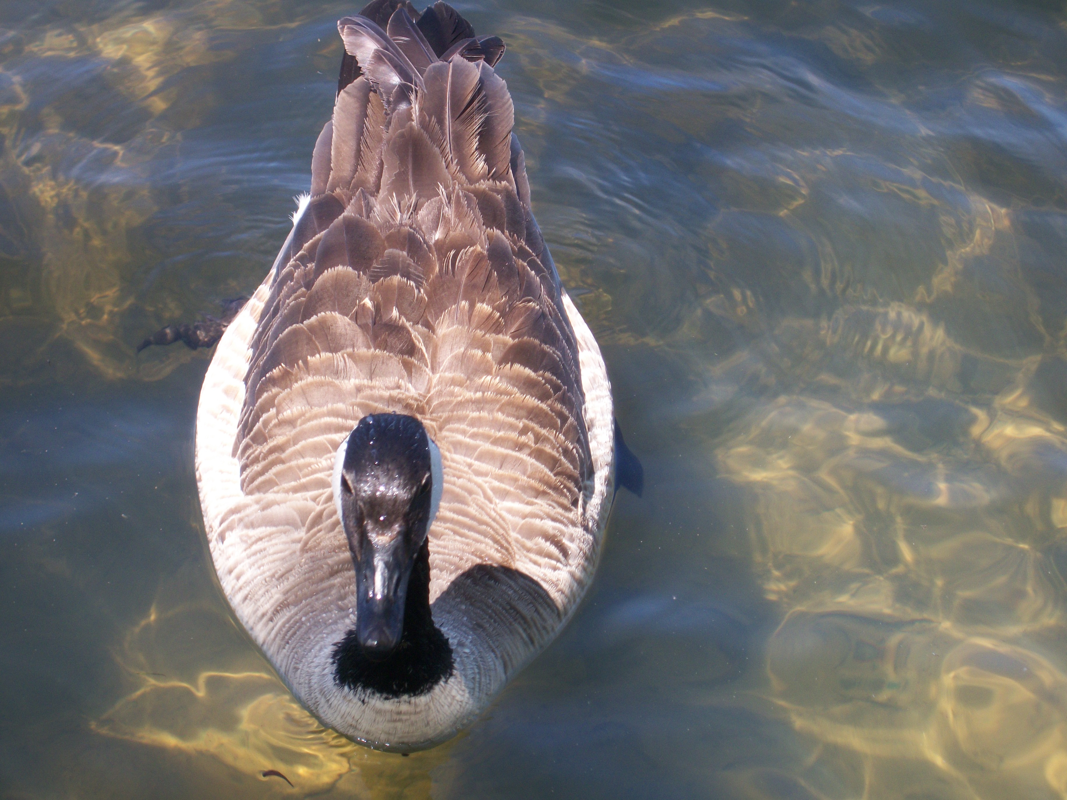
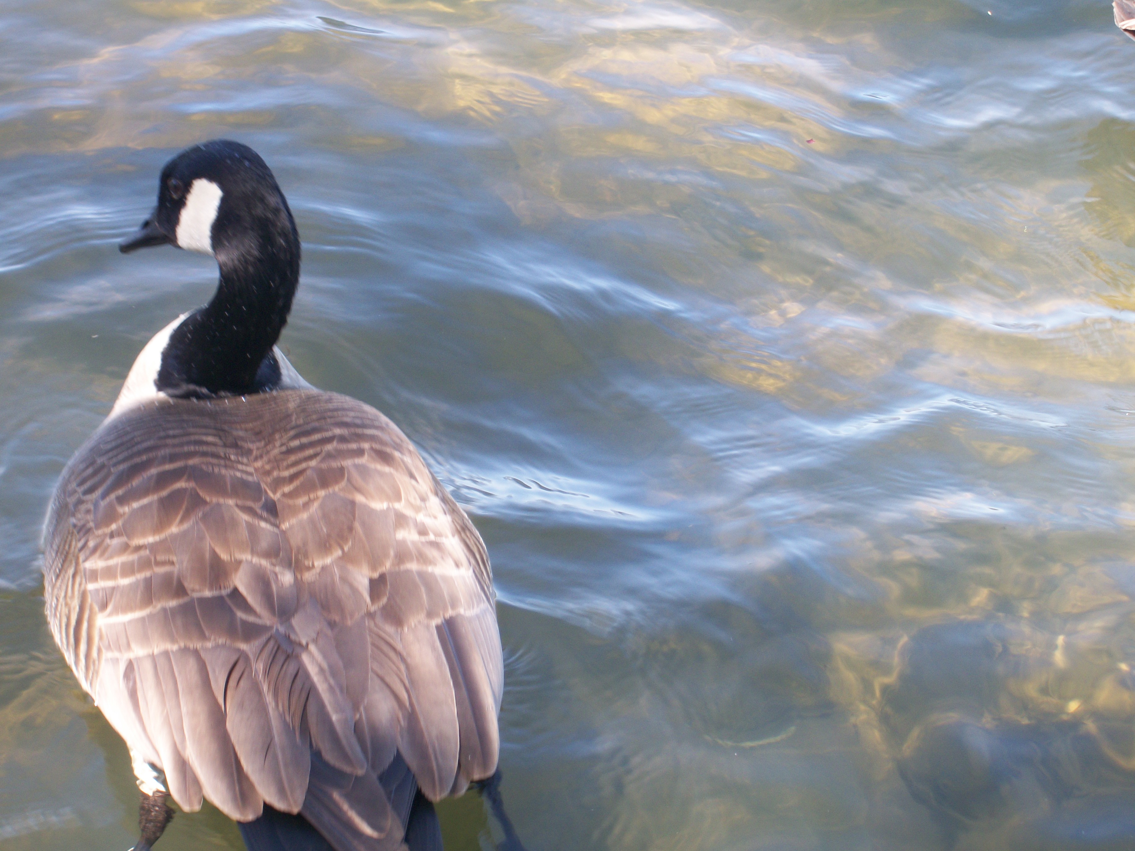
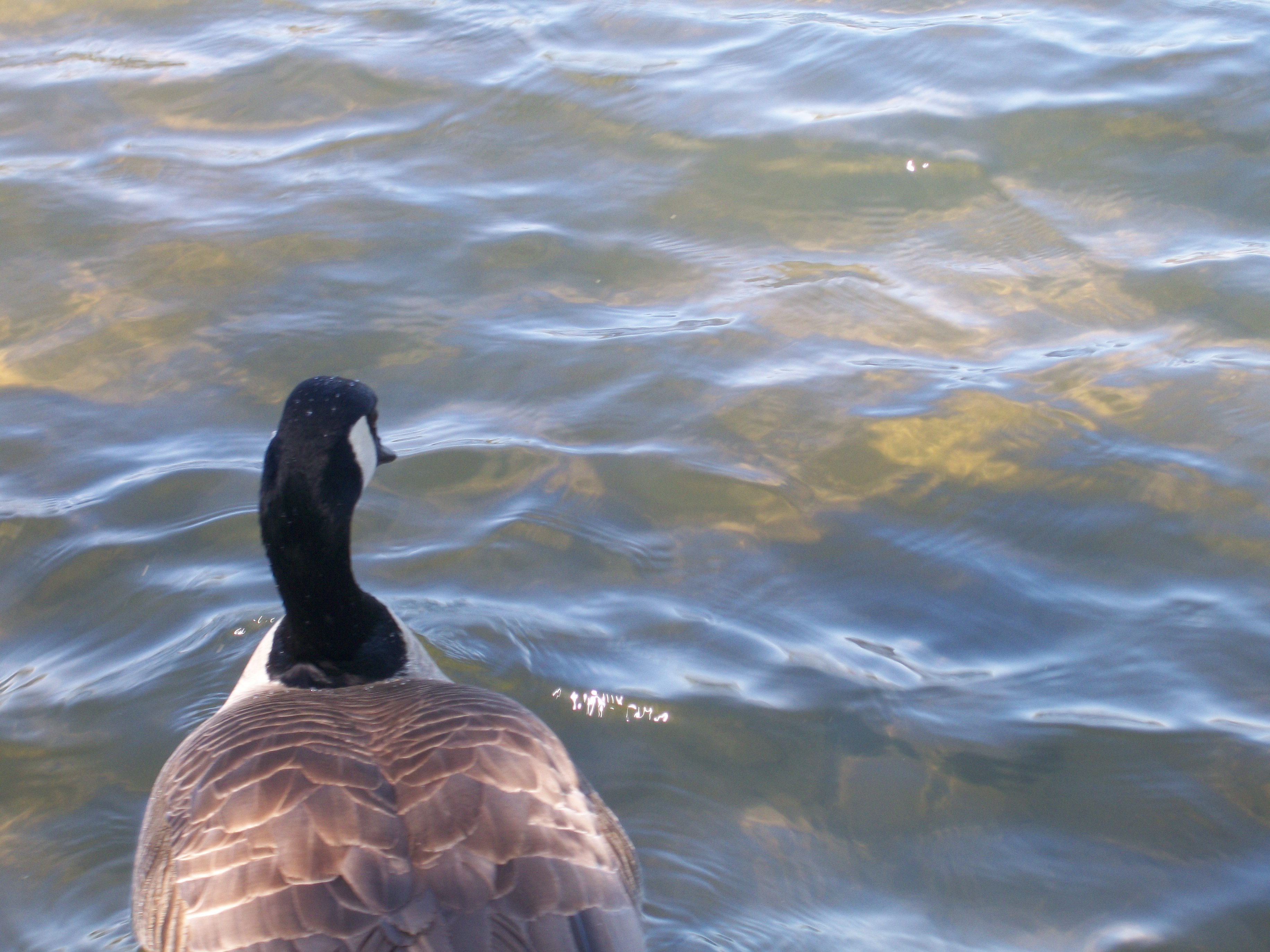
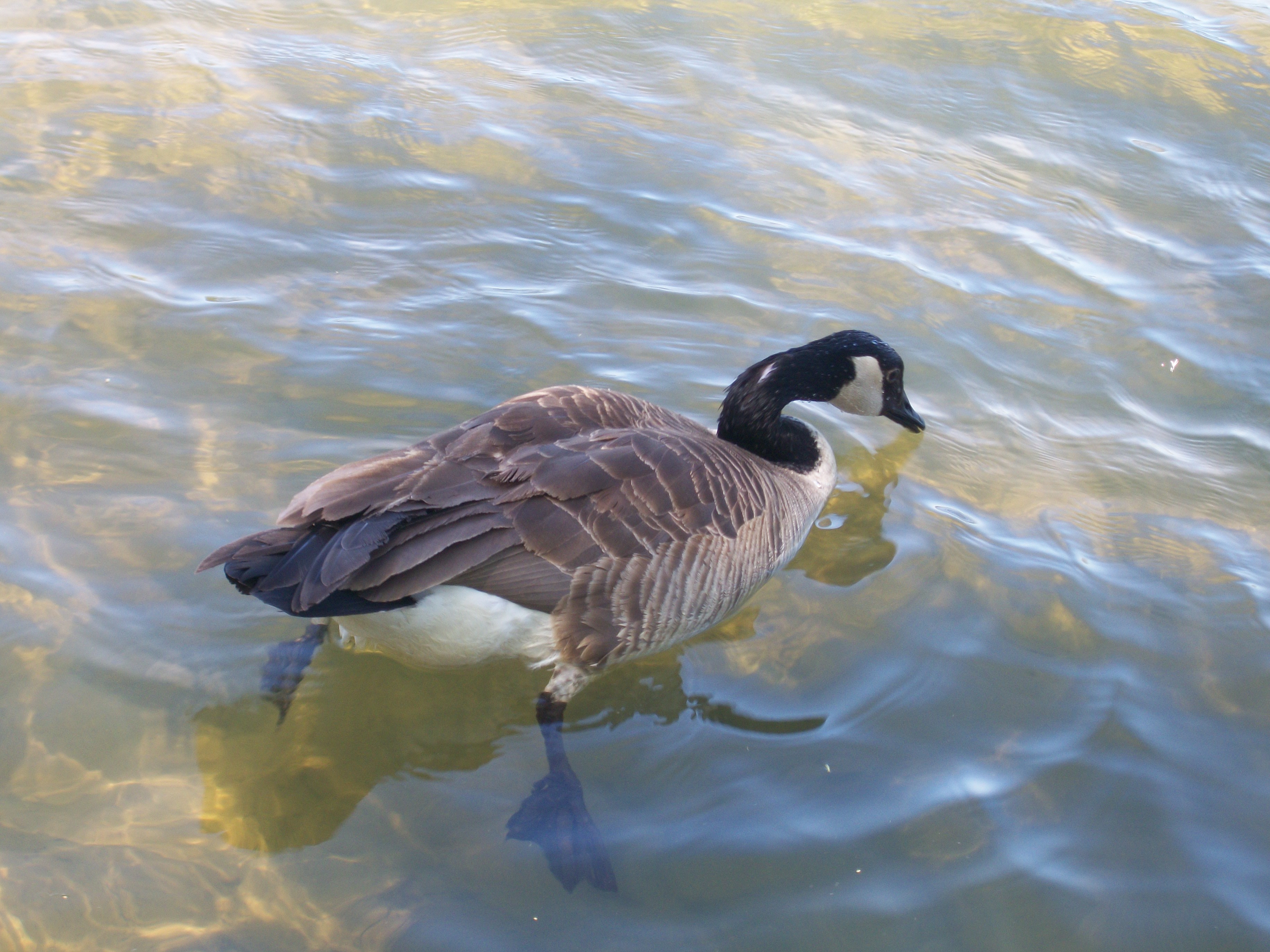
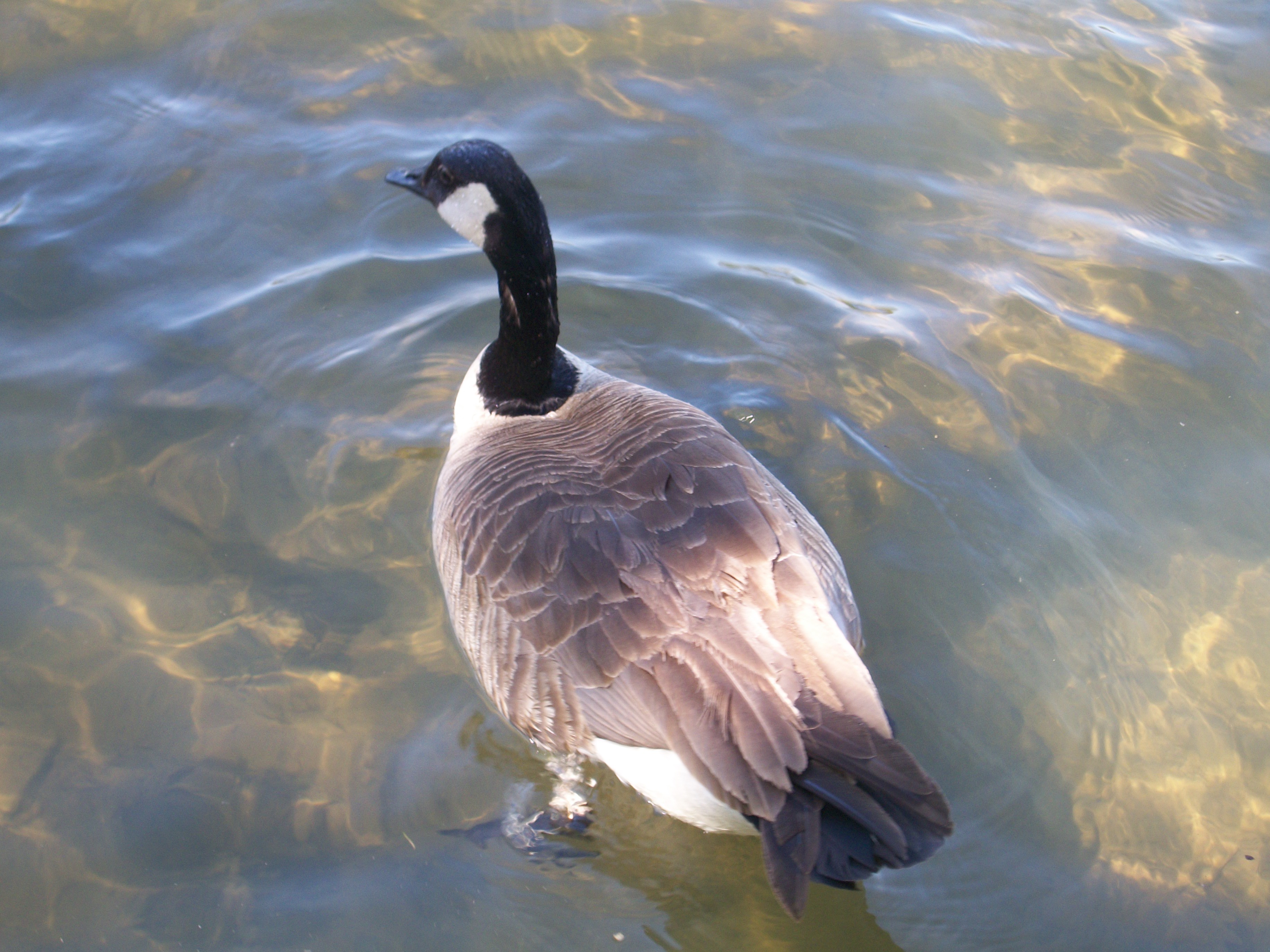
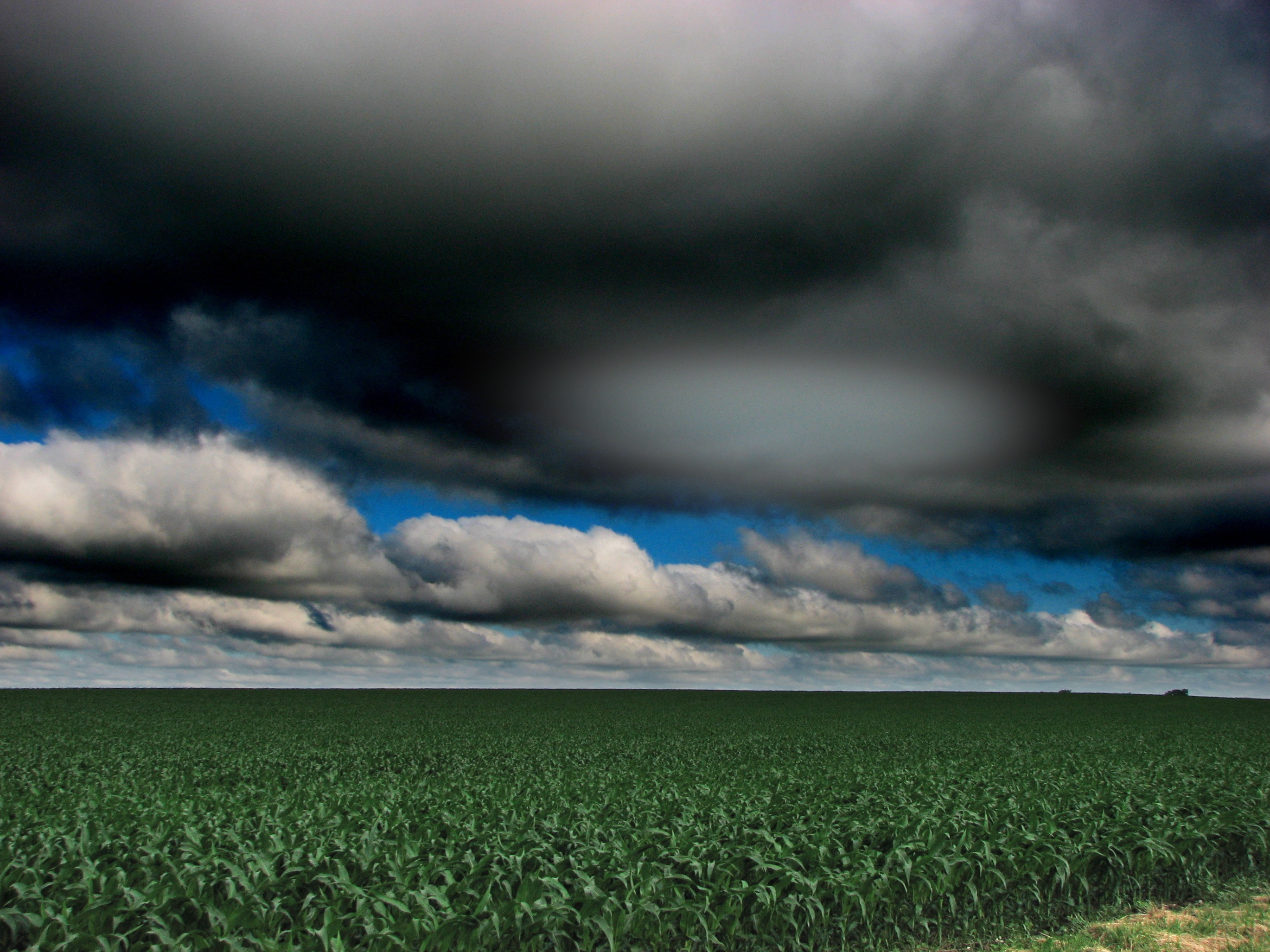
View from my chair in the backyard..

Dawson Lake at Twilight
Moraine View State Park

Lone Fisherman
Moraine View State Park
Moraine View State Park
Moraine View State Park
Moraine View State Park
Moraine View State Park
Moraine View State Park
Moraine View State Park

Sydney Long Jumping

Gabby clearing the bar!

Gabby Wins the High Jump!

Downy Woodpecker

Downs IL Cemetery

Gabby Up and Over

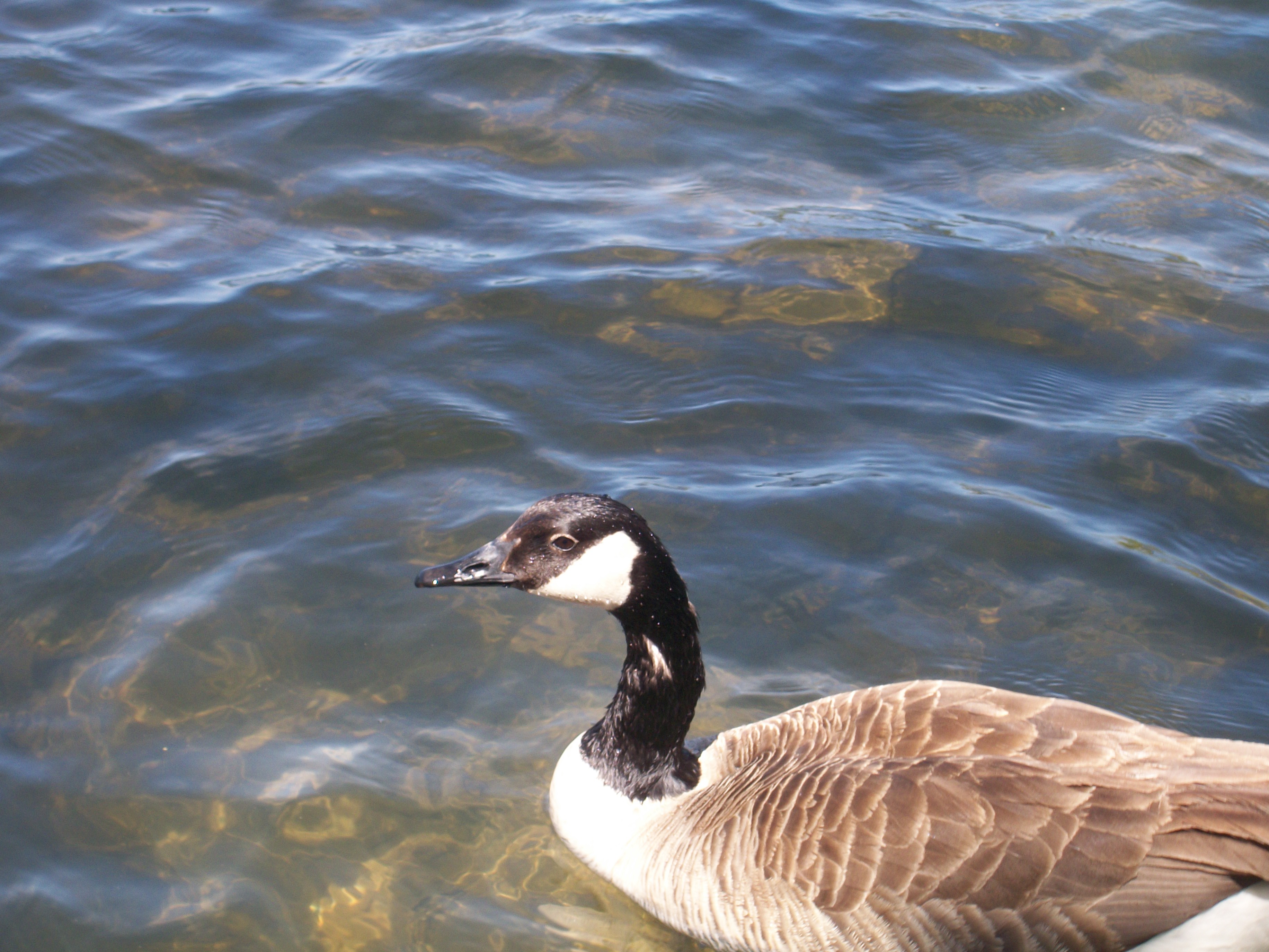
Close up
Moraine View State Park
Moraine View State Park
Moraine View State Park
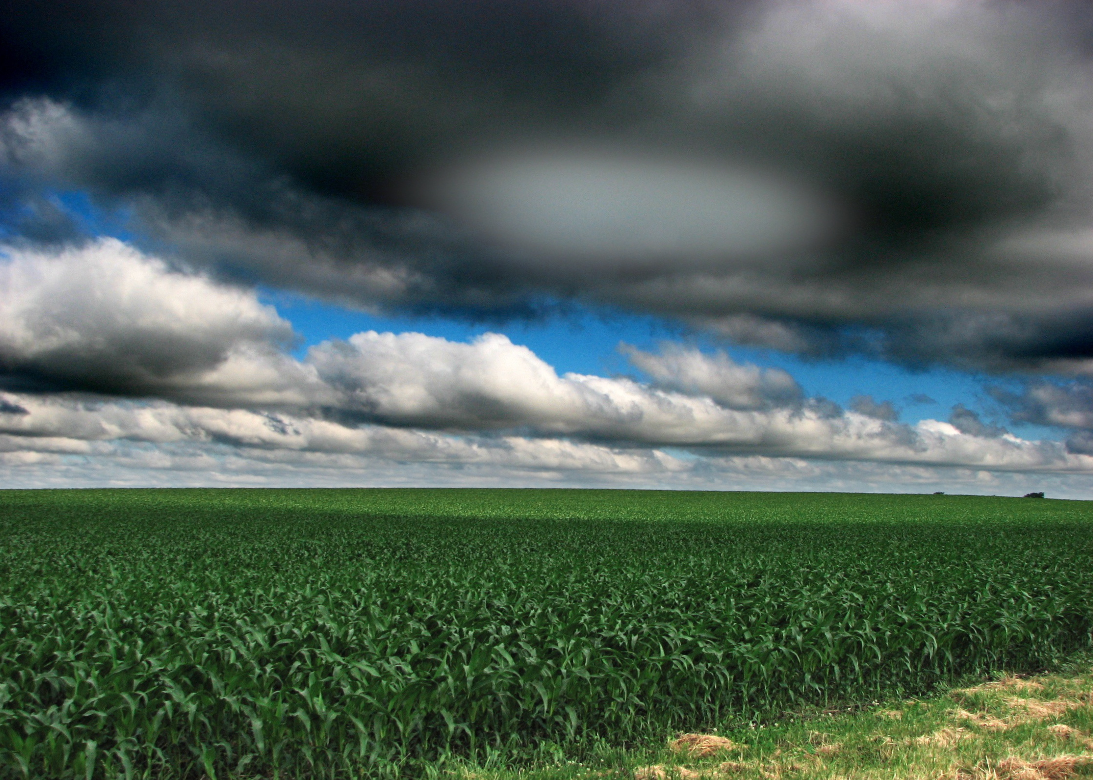
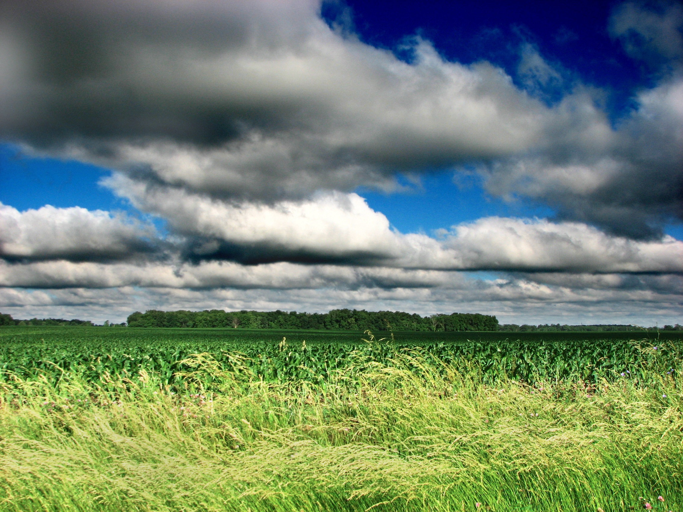
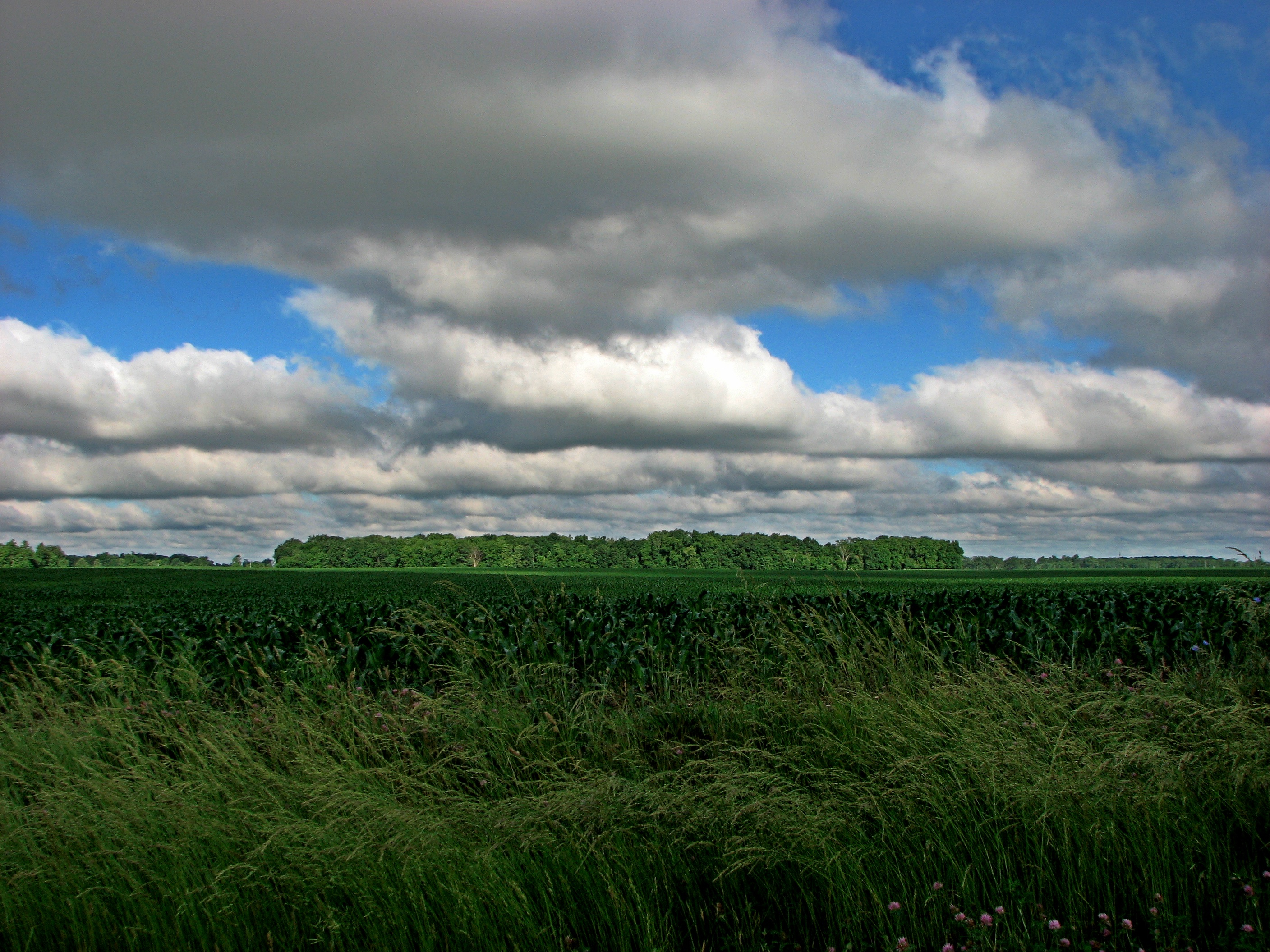
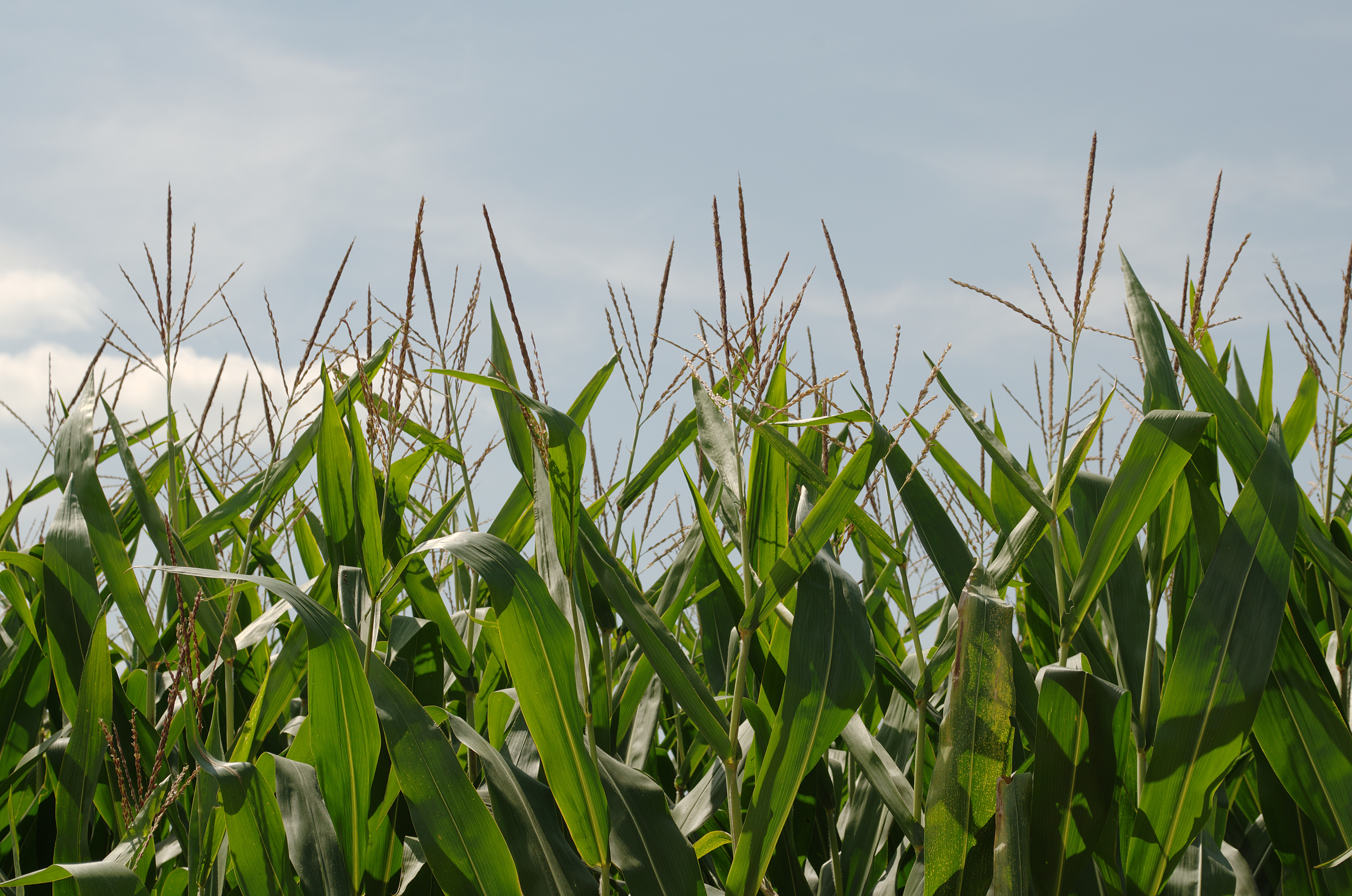
Illinois landscape
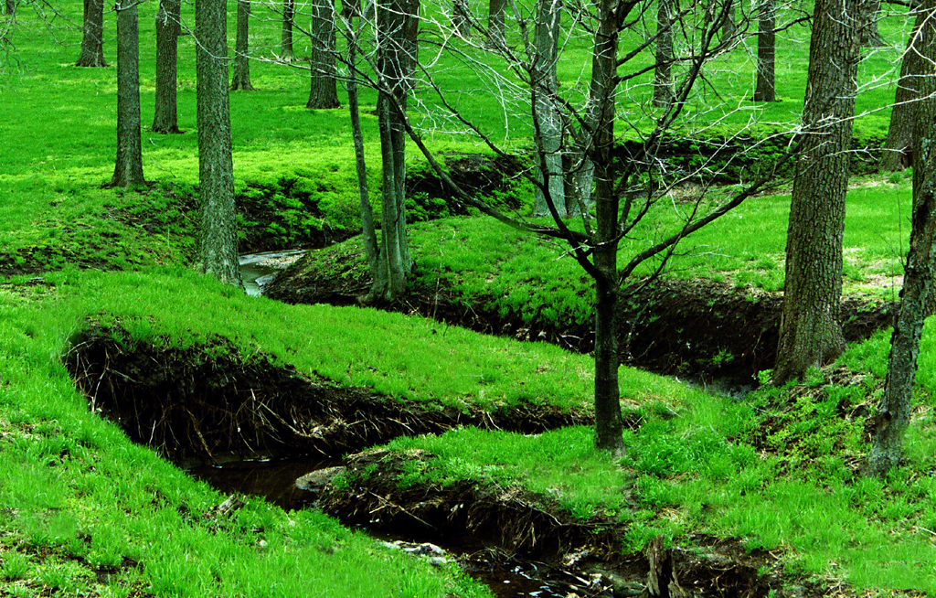
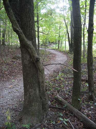
Into the woods
Illinois Landscape

Goodnight from Illinois... Rolling west towards Seattle

222:366
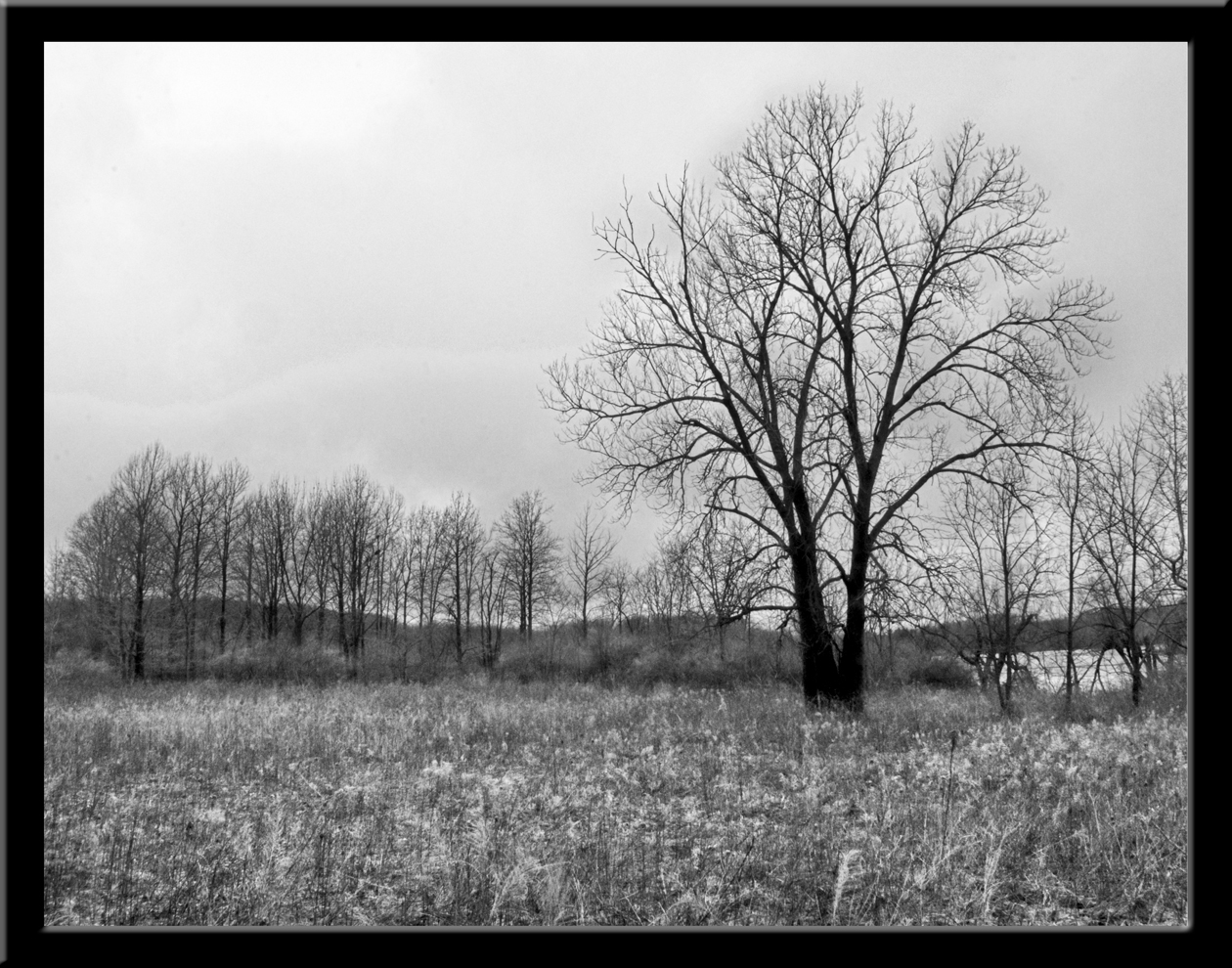
DT: Photo 1 - (Landscape B&W) - A gray day in the park
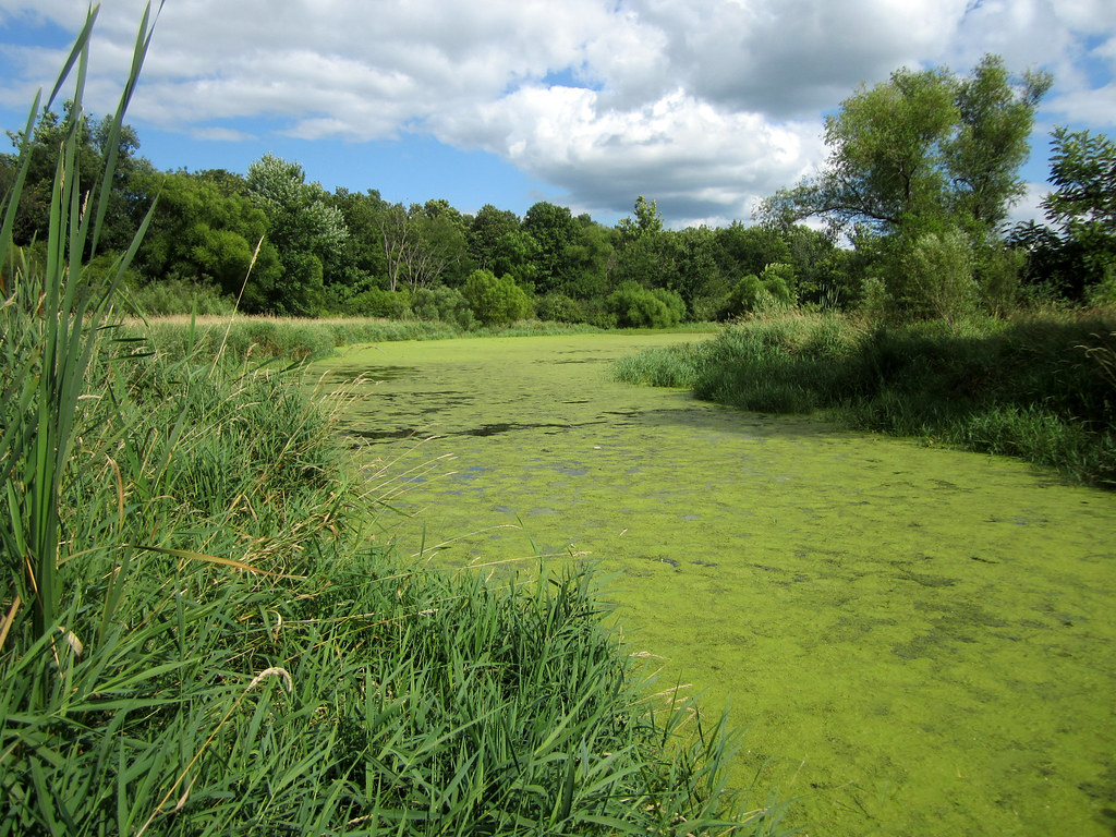
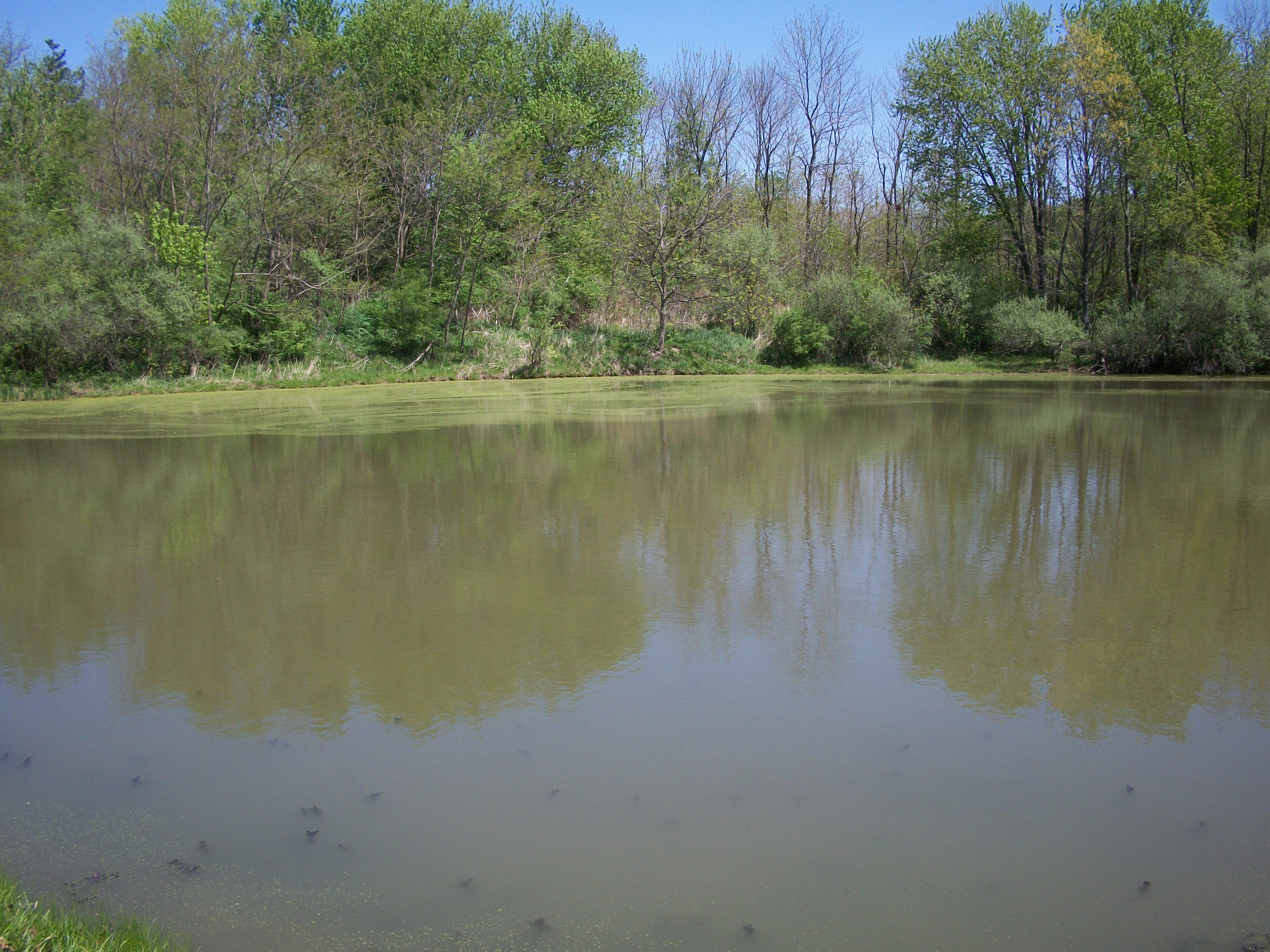
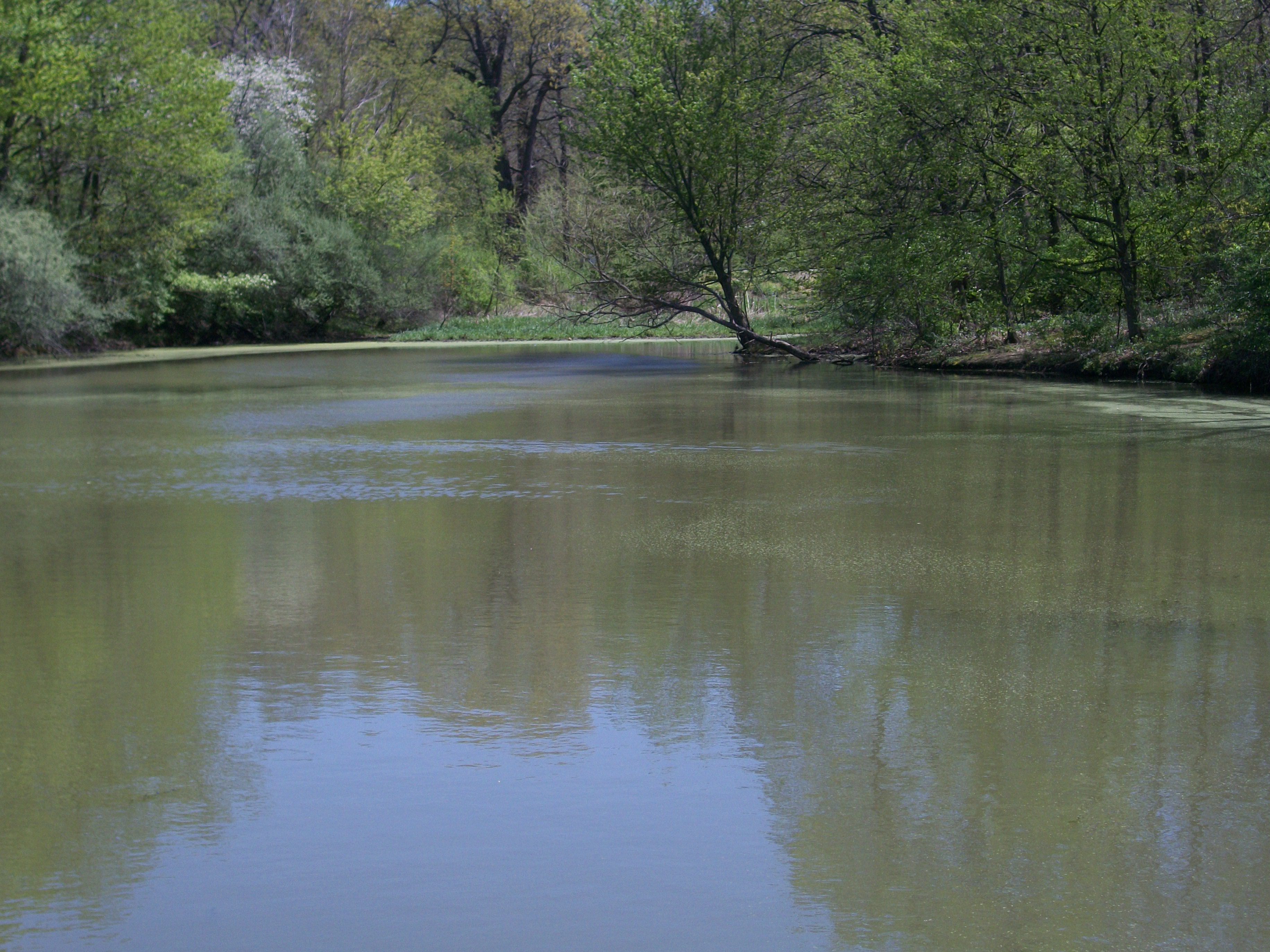
Day 208 - Moraine View backwater

DT: Photo 5 (Panorama - Landscape) - Docks @ Moraine View State Park
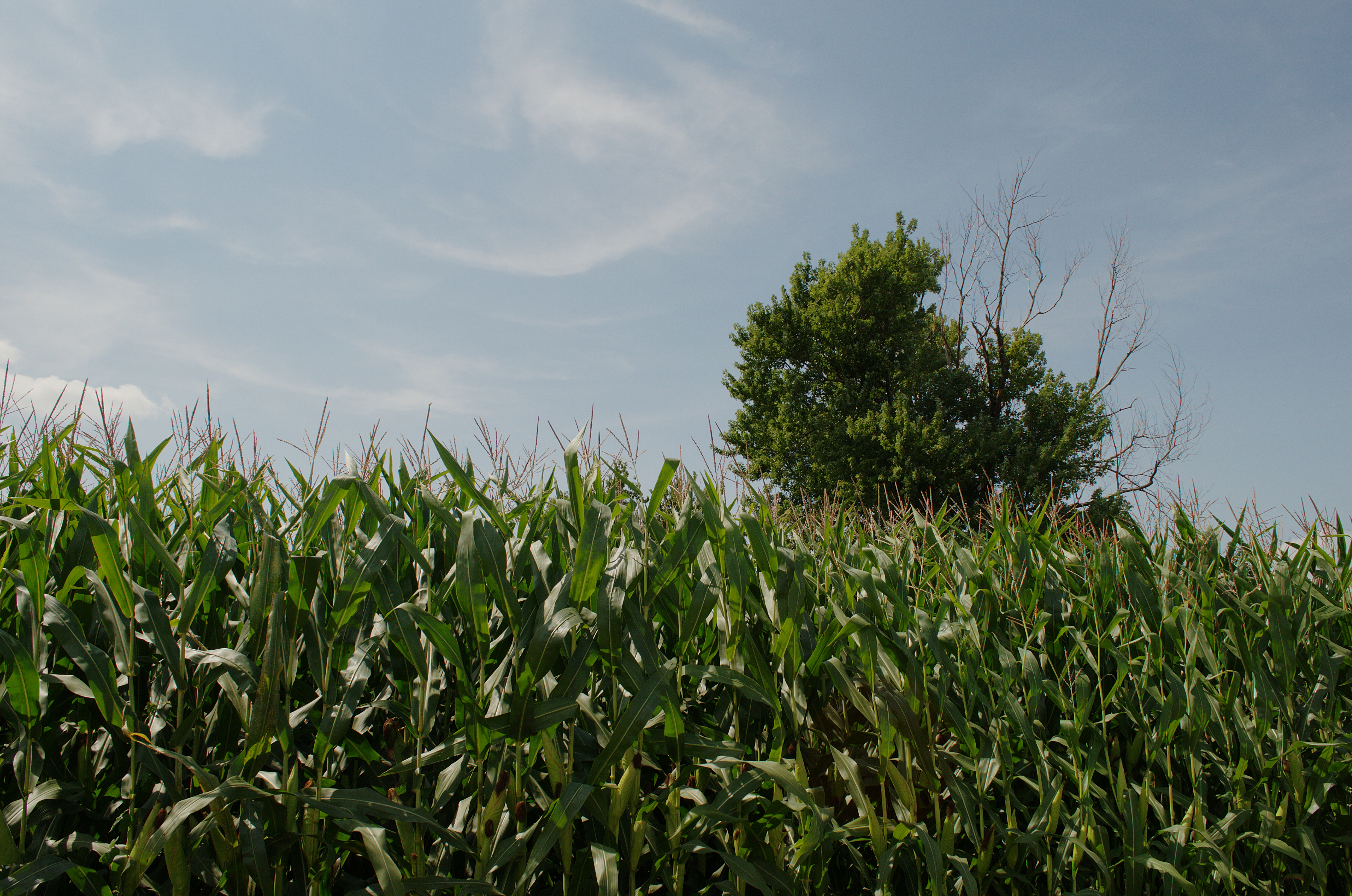
Illinois landscape
Illinois landscape
McLean County, IL
McLean County, IL

McLean County, Illinois Abandoned Grain Elevator

PINE CONE
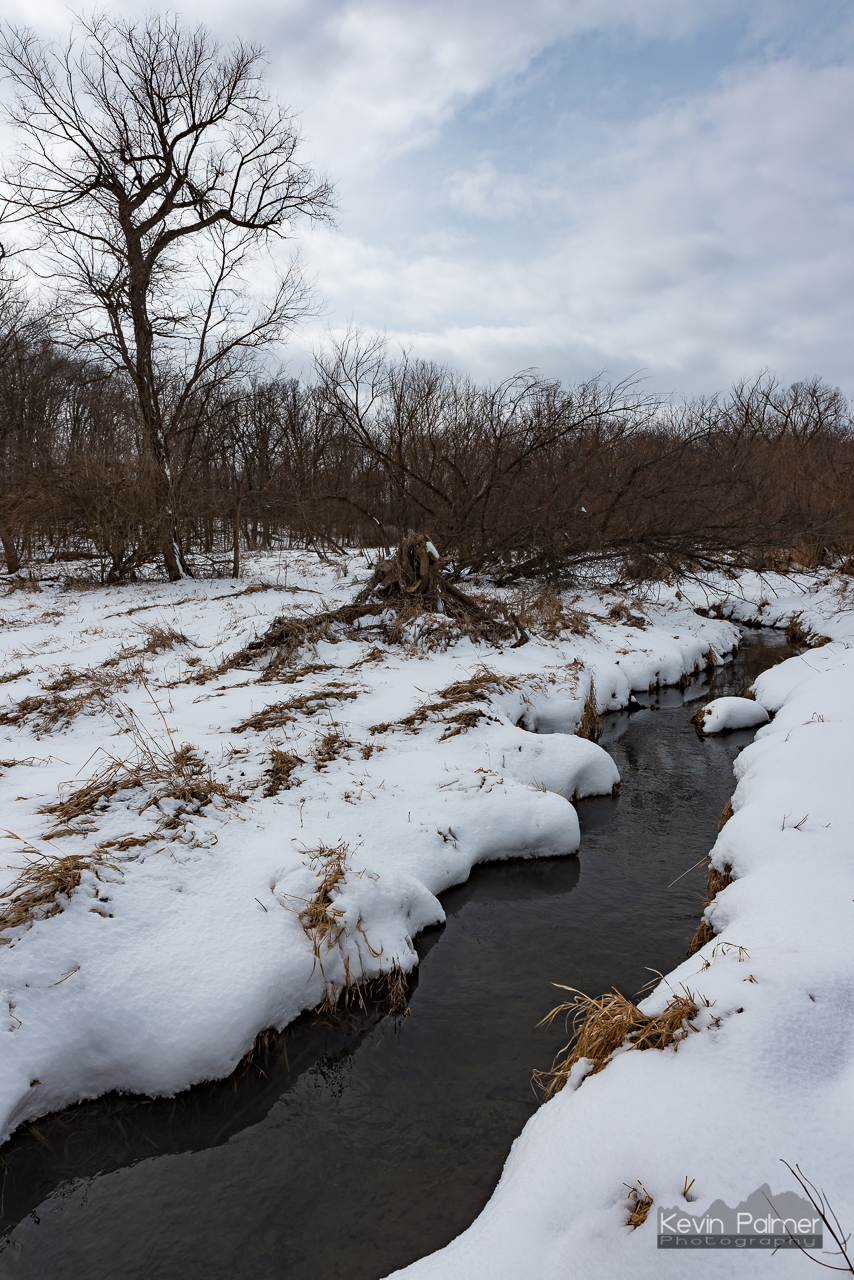
Moraine View Creek
Hold me

Icy Plants
Moraine View State Park
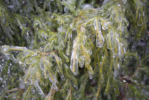
Icy Plants

Icy Plants
Topographic Map of Downs Township, IL, USA
Find elevation by address:

Places in Downs Township, IL, USA:
Places near Downs Township, IL, USA:
17710 Prairie Chapel Rd
Wilson Township
N Lincoln Ave, Downs, IL, USA
Downs
307 Mockingbird Ln
Le Roy
New Gate
Empire Township
E North Rd, Bloomington, IL, USA
Oldtown Township
Harp Township
Harp Township
Harp Township
Harp Township
Harp Township
Harp Township
Harp Township
Harp Township
Harp Township
Harp Township
Recent Searches:
- Elevation of 116, Beartown Road, Underhill, Chittenden County, Vermont, 05489, USA
- Elevation of Window Rock, Colfax County, New Mexico, 87714, USA
- Elevation of 4807, Rosecroft Street, Kempsville Gardens, Virginia Beach, Virginia, 23464, USA
- Elevation map of Matawinie, Quebec, Canada
- Elevation of Sainte-Émélie-de-l'Énergie, Matawinie, Quebec, Canada
- Elevation of Rue du Pont, Sainte-Émélie-de-l'Énergie, Matawinie, Quebec, J0K2K0, Canada
- Elevation of 8, Rue de Bécancour, Blainville, Thérèse-De Blainville, Quebec, J7B1N2, Canada
- Elevation of Wilmot Court North, 163, University Avenue West, Northdale, Waterloo, Region of Waterloo, Ontario, N2L6B6, Canada
- Elevation map of Panamá Province, Panama
- Elevation of Balboa, Panamá Province, Panama
- Elevation of San Miguel, Balboa, Panamá Province, Panama
- Elevation of Isla Gibraleón, San Miguel, Balboa, Panamá Province, Panama
- Elevation of 4655, Krischke Road, Schulenburg, Fayette County, Texas, 78956, USA
- Elevation of Carnegie Avenue, Downtown Cleveland, Cleveland, Cuyahoga County, Ohio, 44115, USA
- Elevation of Walhonding, Coshocton County, Ohio, USA
- Elevation of Clifton Down, Clifton, Bristol, City of Bristol, England, BS8 3HU, United Kingdom
- Elevation map of Auvergne-Rhône-Alpes, France
- Elevation map of Upper Savoy, Auvergne-Rhône-Alpes, France
- Elevation of Chamonix-Mont-Blanc, Upper Savoy, Auvergne-Rhône-Alpes, France
- Elevation of 908, Northwood Drive, Bridge Field, Chesapeake, Virginia, 23322, USA