Elevation of Wilson Township, IL, USA
Location: United States > Illinois > De Witt County >
Longitude: -88.855101
Latitude: 40.2521478
Elevation: 244m / 801feet
Barometric Pressure: 98KPa
Elevation Map:
Satellite Map:
Related Photos:

Country Road

Sydney Long Jumping

Gabby clearing the bar!

Gabby Wins the High Jump!

On the Run

Gabby Up and Over

Close up

Jump Shot

Farmland and woods in DeWitt County, Illinois
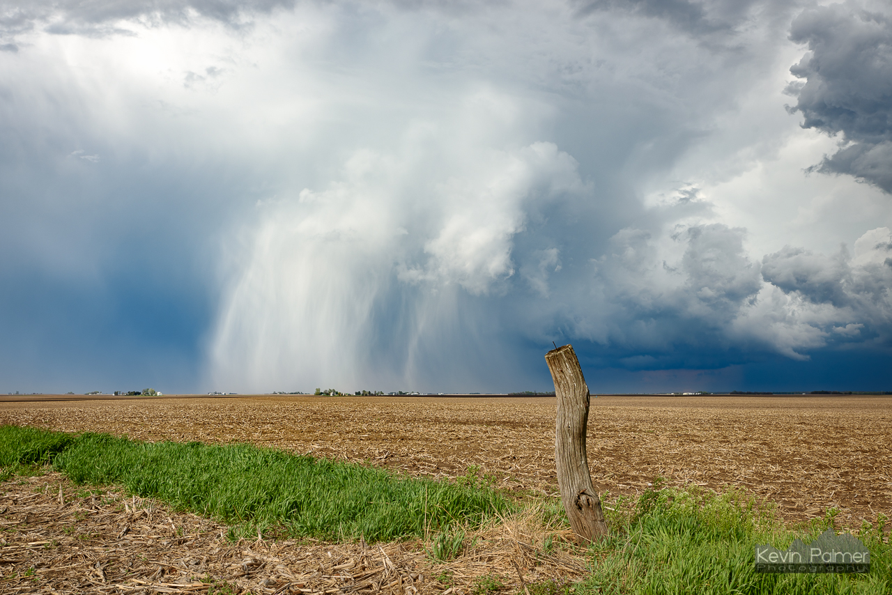
Hail Shaft Post

Goodnight from Illinois... Rolling west towards Seattle
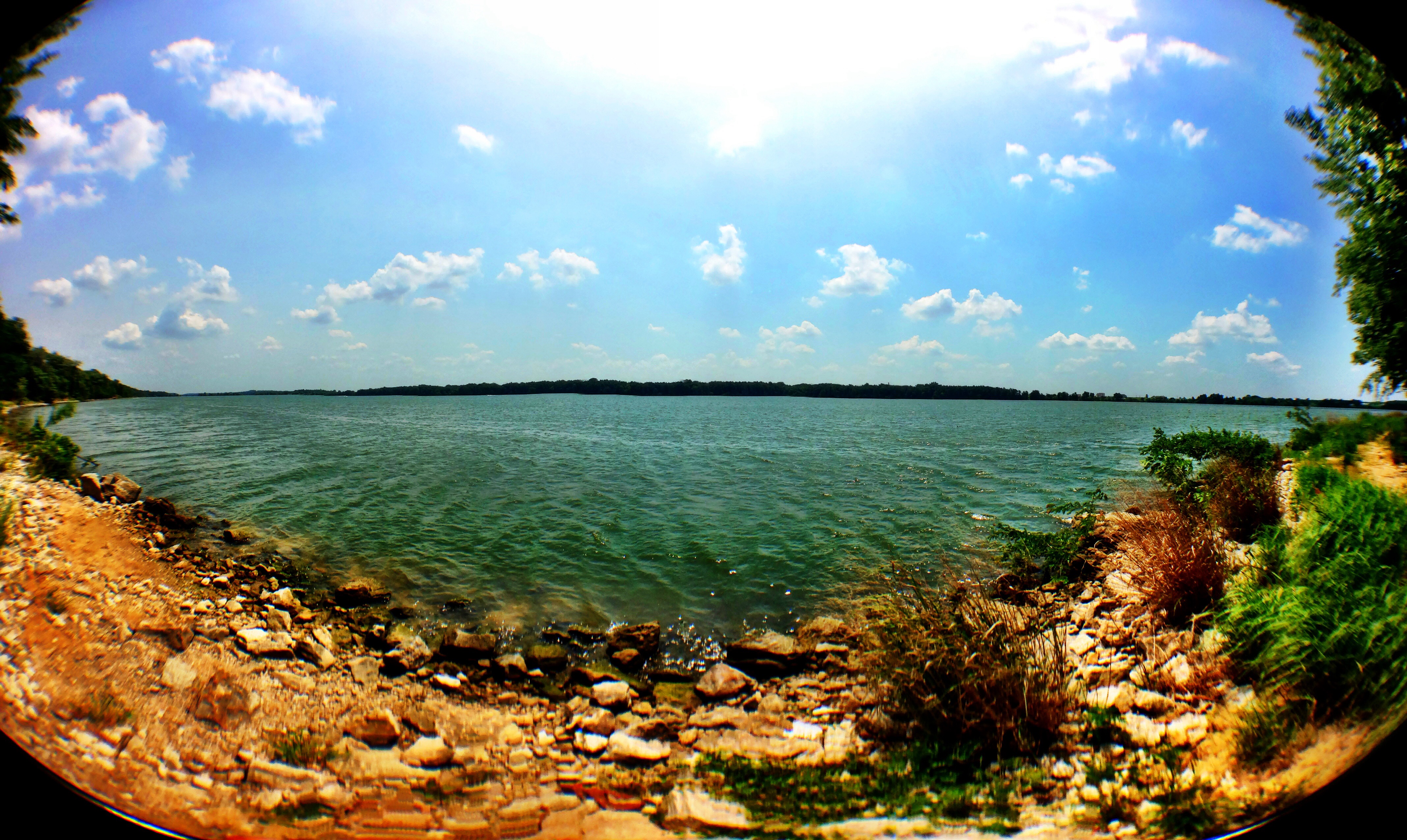
Nice lake pano from yesterday's lake camping trip! #music #lake #water #summer #newsboys

Path less trodden

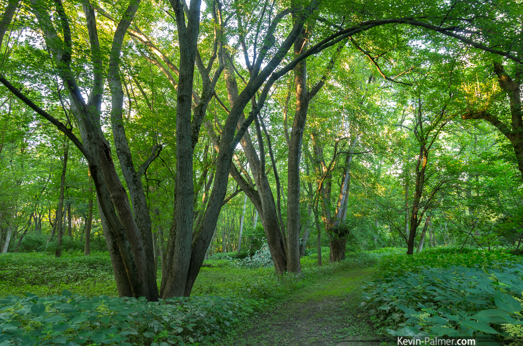
Through the Walnut Grove 10132015

222:366

McLean County, IL

McLean County, IL

PINE CONE

Wavy Wisps

To Hail With It

Winter Storm on the Horizon

Weldon Springs State Park I
Green Path

Salt Creek Moonlight

Weldon Springs State Park VI

Weldon Springs State Park XI

Sunset Over the Grass
Topographic Map of Wilson Township, IL, USA
Find elevation by address:

Places near Wilson Township, IL, USA:
Harp Township
Harp Township
Harp Township
Harp Township
Harp Township
Harp Township
Harp Township
Harp Township
Harp Township
Harp Township
Town Hall Rd, Clinton, IL, USA
8401 Power Rd
De Witt County
De Witt County
De Witt County
De Witt County
De Witt County
De Witt County
De Witt County
De Witt County
Recent Searches:
- Elevation of Corso Fratelli Cairoli, 35, Macerata MC, Italy
- Elevation of Tallevast Rd, Sarasota, FL, USA
- Elevation of 4th St E, Sonoma, CA, USA
- Elevation of Black Hollow Rd, Pennsdale, PA, USA
- Elevation of Oakland Ave, Williamsport, PA, USA
- Elevation of Pedrógão Grande, Portugal
- Elevation of Klee Dr, Martinsburg, WV, USA
- Elevation of Via Roma, Pieranica CR, Italy
- Elevation of Tavkvetili Mountain, Georgia
- Elevation of Hartfords Bluff Cir, Mt Pleasant, SC, USA