Elevation of Prairie Chapel Rd, Le Roy, IL, USA
Location: United States > Illinois > Mclean County > Le Roy >
Longitude: -88.810654
Latitude: 40.2677057
Elevation: 237m / 778feet
Barometric Pressure: 0KPa
Related Photos:

Country Road

Conrail #7705 Farmer City, Illinois

Sydney Long Jumping

Gabby clearing the bar!

Gabby Wins the High Jump!

On the Run

Gabby Up and Over

Downs IL Cemetery

Close up

Jump Shot

Farmland and woods in DeWitt County, Illinois
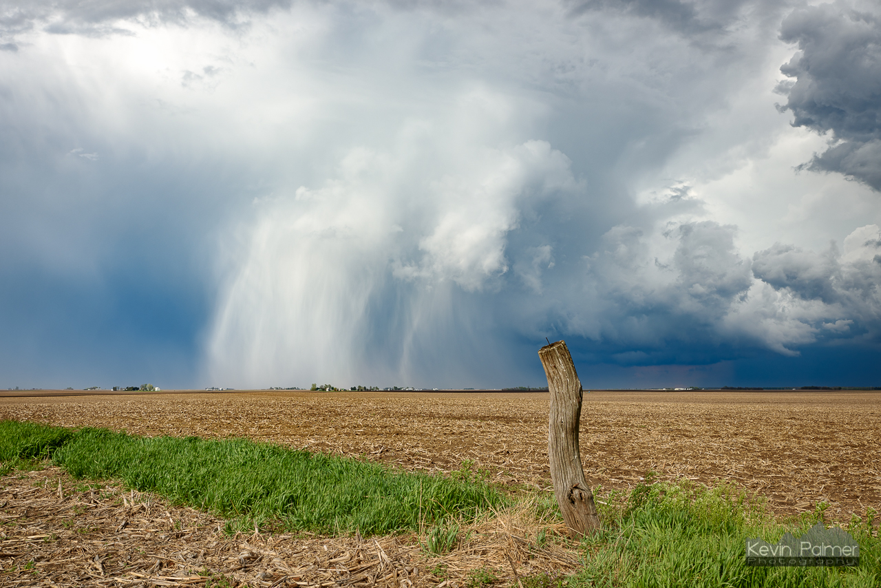
Hail Shaft Post
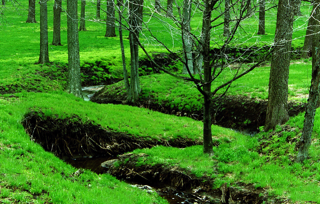
Into the woods

Illinois Landscape

Illinois landscape

Goodnight from Illinois... Rolling west towards Seattle
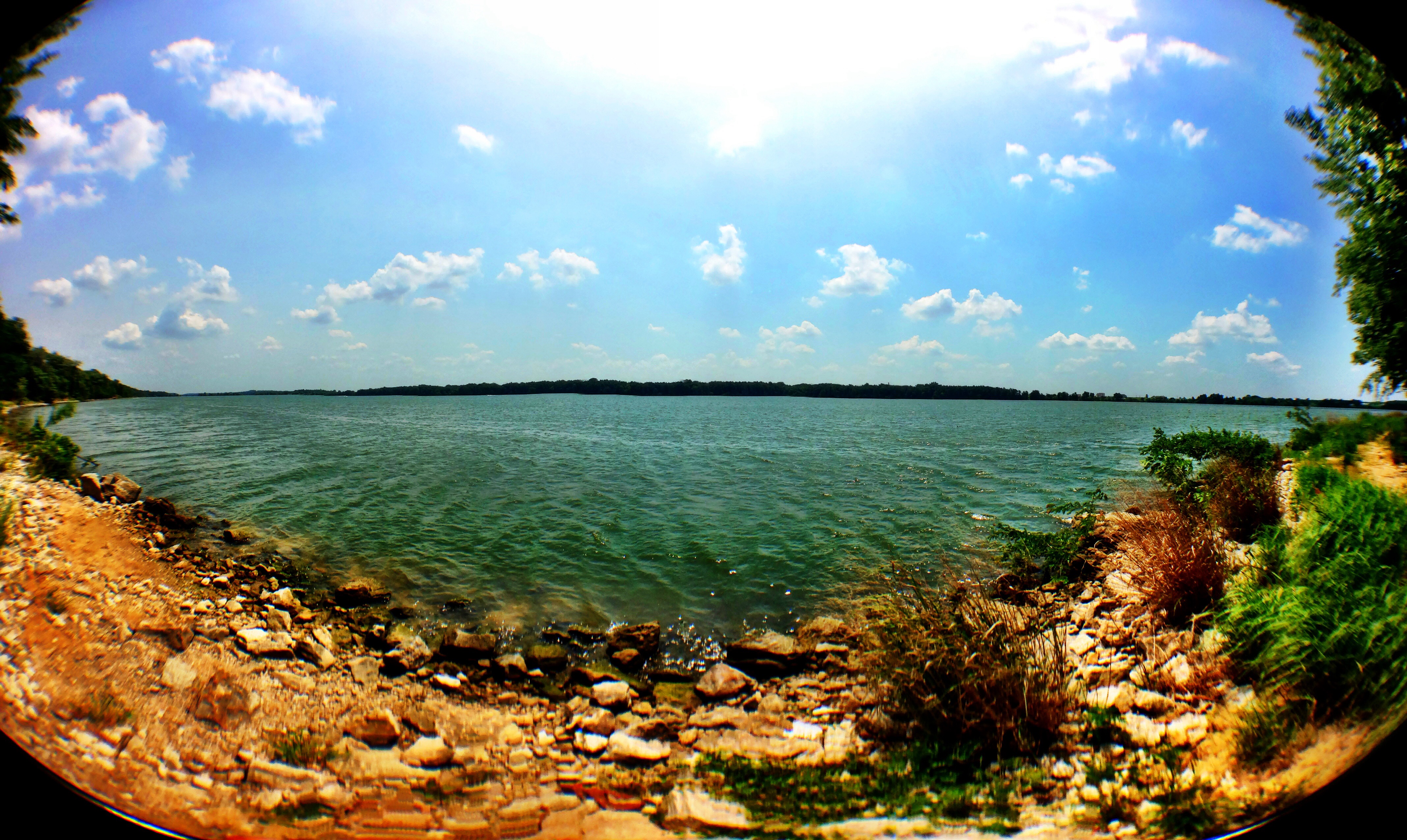
Nice lake pano from yesterday's lake camping trip! #music #lake #water #summer #newsboys

#helicopter #services #of #illinois #awesome #ass #job

Illinois cornfield and forest

Rural Illinois as Seen From Interstate 74

Illinois Sky

Path less trodden

Through the Walnut Grove 10132015

Back Forty

The Hard Road

222:366

McLean County, IL

McLean County, IL

PINE CONE

barn, farmer's city, il
Topographic Map of Prairie Chapel Rd, Le Roy, IL, USA
Find elevation by address:

Places near Prairie Chapel Rd, Le Roy, IL, USA:
Wilson Township
Downs Township
307 Mockingbird Ln
Harp Township
Harp Township
Harp Township
Harp Township
Harp Township
Harp Township
Harp Township
Harp Township
Harp Township
Harp Township
IL-48, Farmer City, IL, USA
Le Roy
Empire Township
8401 Power Rd
De Witt Township
Town Hall Rd, Clinton, IL, USA
E North Rd, Le Roy, IL, USA
Recent Searches:
- Elevation of 10370, West 107th Circle, Westminster, Jefferson County, Colorado, 80021, USA
- Elevation of 611, Roman Road, Old Ford, Bow, London, England, E3 2RW, United Kingdom
- Elevation of 116, Beartown Road, Underhill, Chittenden County, Vermont, 05489, USA
- Elevation of Window Rock, Colfax County, New Mexico, 87714, USA
- Elevation of 4807, Rosecroft Street, Kempsville Gardens, Virginia Beach, Virginia, 23464, USA
- Elevation map of Matawinie, Quebec, Canada
- Elevation of Sainte-Émélie-de-l'Énergie, Matawinie, Quebec, Canada
- Elevation of Rue du Pont, Sainte-Émélie-de-l'Énergie, Matawinie, Quebec, J0K2K0, Canada
- Elevation of 8, Rue de Bécancour, Blainville, Thérèse-De Blainville, Quebec, J7B1N2, Canada
- Elevation of Wilmot Court North, 163, University Avenue West, Northdale, Waterloo, Region of Waterloo, Ontario, N2L6B6, Canada
- Elevation map of Panamá Province, Panama
- Elevation of Balboa, Panamá Province, Panama
- Elevation of San Miguel, Balboa, Panamá Province, Panama
- Elevation of Isla Gibraleón, San Miguel, Balboa, Panamá Province, Panama
- Elevation of 4655, Krischke Road, Schulenburg, Fayette County, Texas, 78956, USA
- Elevation of Carnegie Avenue, Downtown Cleveland, Cleveland, Cuyahoga County, Ohio, 44115, USA
- Elevation of Walhonding, Coshocton County, Ohio, USA
- Elevation of Clifton Down, Clifton, Bristol, City of Bristol, England, BS8 3HU, United Kingdom
- Elevation map of Auvergne-Rhône-Alpes, France
- Elevation map of Upper Savoy, Auvergne-Rhône-Alpes, France