Elevation of West Fork, AR, USA
Location: United States > Arkansas > Washington County > West Fork Township >
Longitude: -94.1885387
Latitude: 35.9242477
Elevation: 410m / 1345feet
Barometric Pressure: 0KPa
Related Photos:

Cross at Mount Sequoyah Overlook Fayetteville Arkansas

Slightly Out of Place
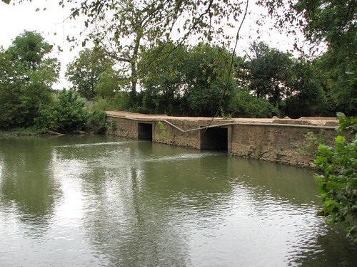
Sideview Tilly Willy Bridge
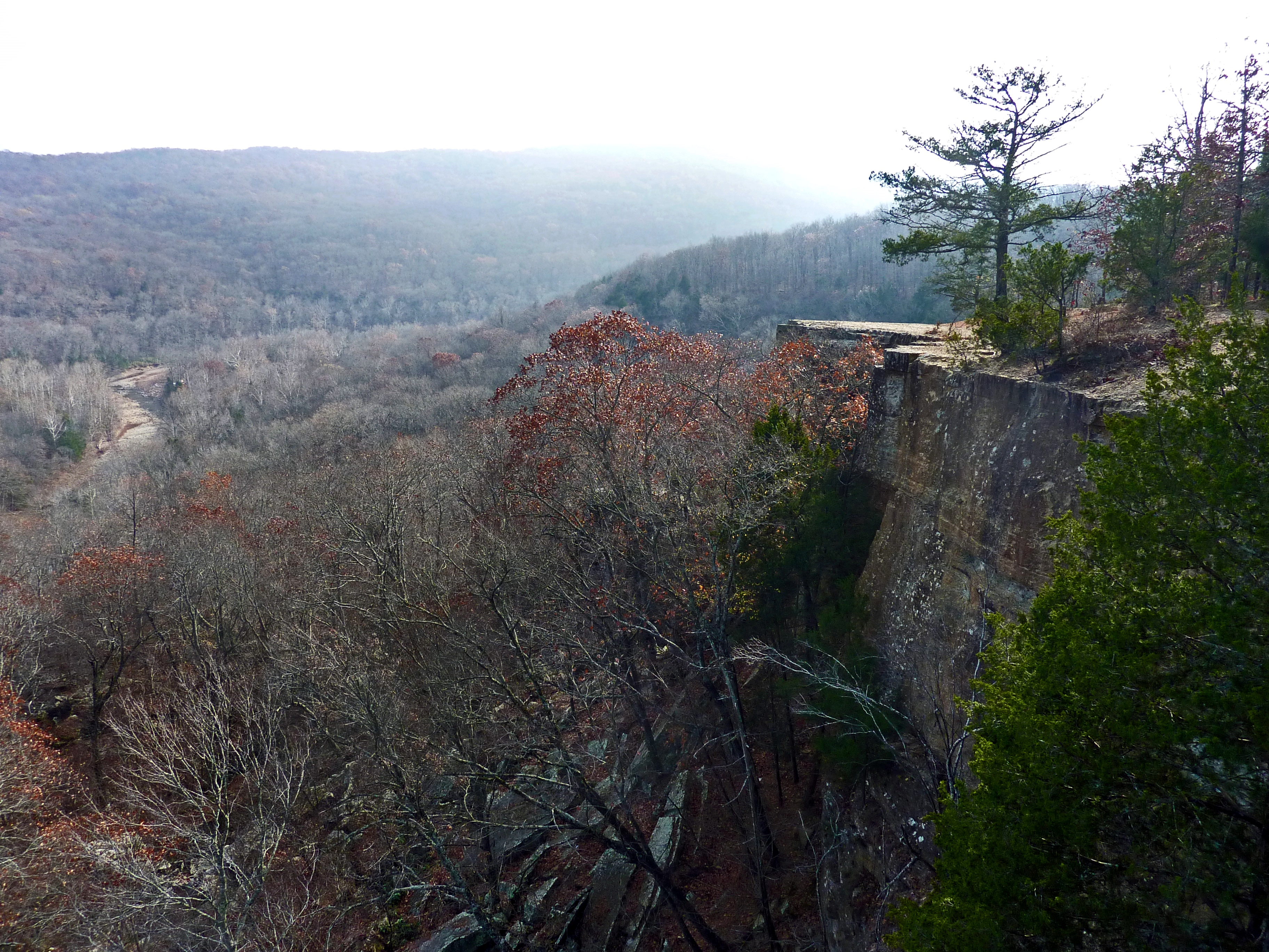
South View at Yellow Rock
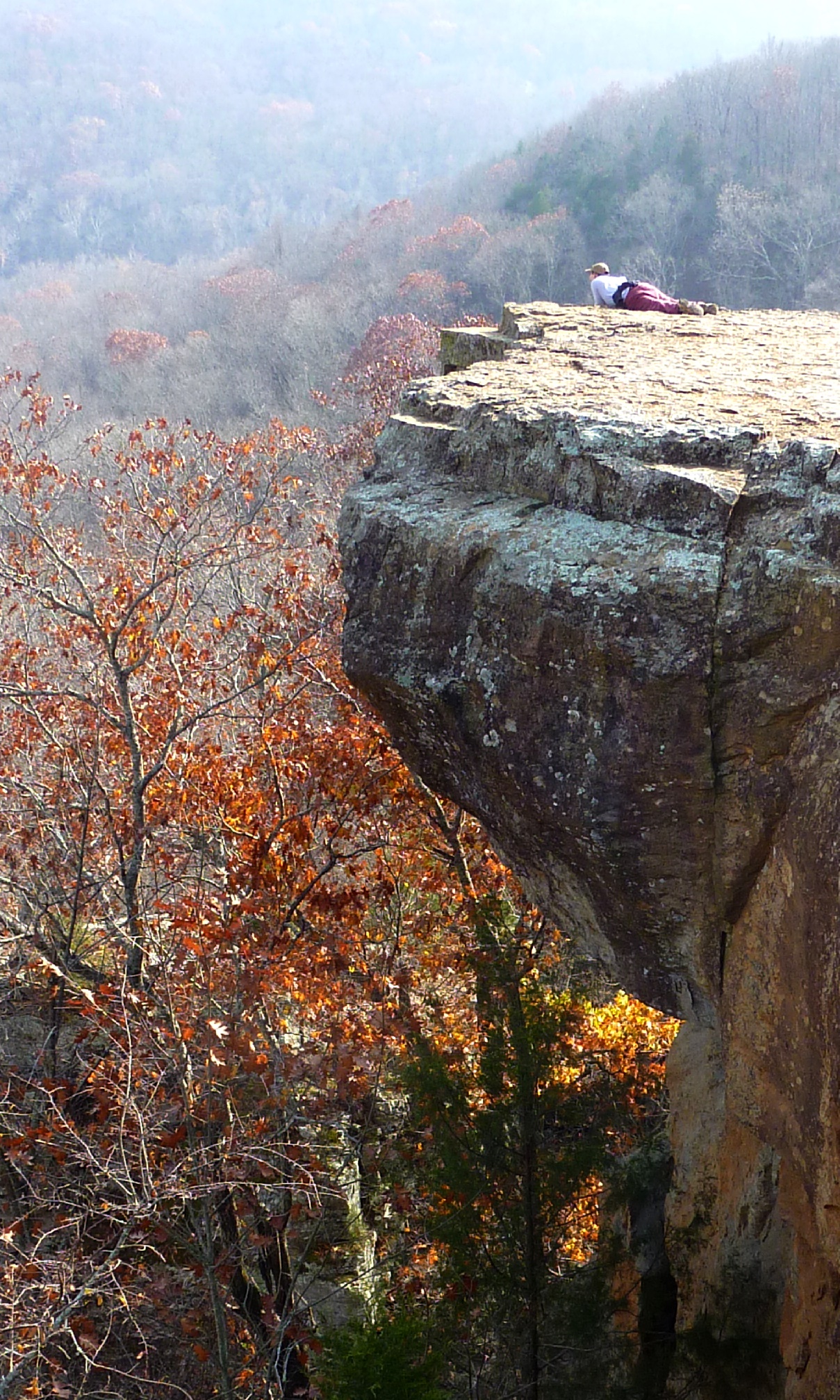
What a View
View South from Atop Yellow Rock
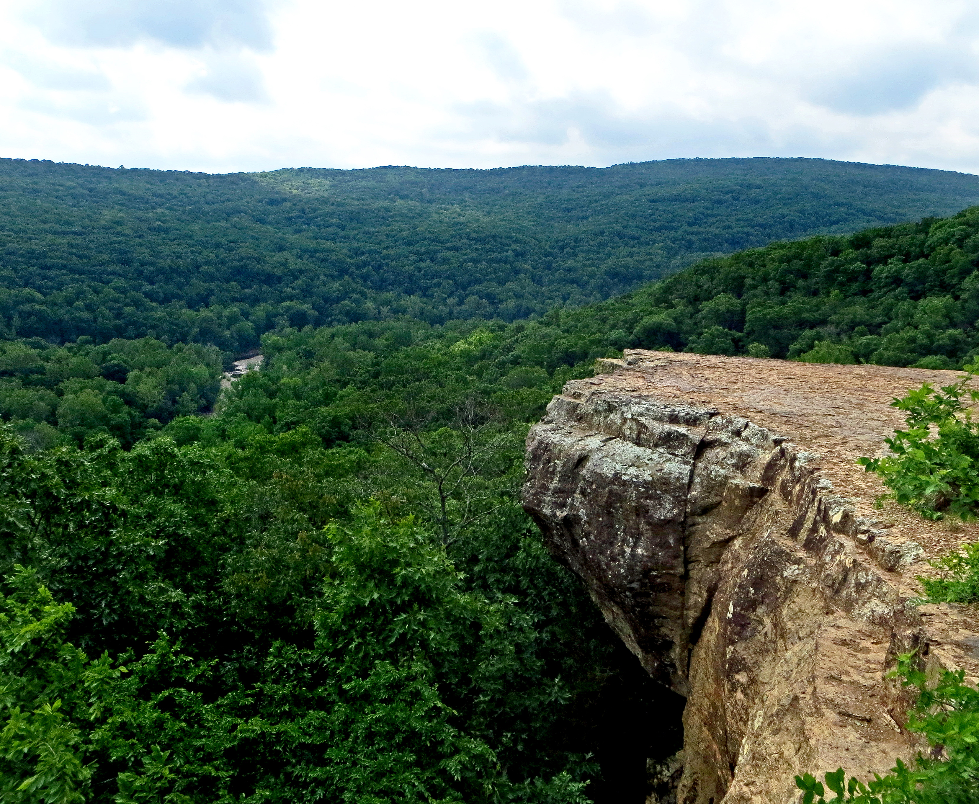
Panorama View of Lee Creek Vally at Yellow Rock Viewpoint

Prairie Grove 444
Topographic Map of West Fork, AR, USA
Find elevation by address:

Places in West Fork, AR, USA:
Places near West Fork, AR, USA:
129 W Main St
West Fork Township
Washington County
Woolsey Rd, West Fork, AR, USA
Greenland Township
1 W Wilson St, Fayetteville, AR, USA
16536 Carpenter Rd
Greenland
14432 Truelove Road
2600 W Judge Cummings Rd Parking
2991 S City Lake Rd
Crawford Township
2880 S Armstrong Ave
Prairie Township
S Whitehouse Rd, Fayetteville, AR, USA
White River Township
S Harris Dr, Fayetteville, AR, USA
S Whitehouse Rd, Fayetteville, AR, USA
Harris Dr, Fayetteville, AR, USA
1639 Harris Dr
Recent Searches:
- Elevation of Pasing, Munich, Bavaria, 81241, Germany
- Elevation of 24, Auburn Bay Crescent SE, Auburn Bay, Calgary, Alberta, T3M 0A6, Canada
- Elevation of Denver, 2314, Arapahoe Street, Five Points, Denver, Colorado, 80205, USA
- Elevation of Community of the Beatitudes, 2924, West 43rd Avenue, Sunnyside, Denver, Colorado, 80211, USA
- Elevation map of Litang County, Sichuan, China
- Elevation map of Madoi County, Qinghai, China
- Elevation of 3314, Ohio State Route 114, Payne, Paulding County, Ohio, 45880, USA
- Elevation of Sarahills Drive, Saratoga, Santa Clara County, California, 95070, USA
- Elevation of Town of Bombay, Franklin County, New York, USA
- Elevation of 9, Convent Lane, Center Moriches, Suffolk County, New York, 11934, USA
- Elevation of Saint Angelas Convent, 9, Convent Lane, Center Moriches, Suffolk County, New York, 11934, USA
- Elevation of 131st Street Southwest, Mukilteo, Snohomish County, Washington, 98275, USA
- Elevation of 304, Harrison Road, Naples, Cumberland County, Maine, 04055, USA
- Elevation of 2362, Timber Ridge Road, Harrisburg, Cabarrus County, North Carolina, 28075, USA
- Elevation of Ridge Road, Marshalltown, Marshall County, Iowa, 50158, USA
- Elevation of 2459, Misty Shadows Drive, Pigeon Forge, Sevier County, Tennessee, 37862, USA
- Elevation of 8043, Brightwater Way, Spring Hill, Williamson County, Tennessee, 37179, USA
- Elevation of Starkweather Road, San Luis, Costilla County, Colorado, 81152, USA
- Elevation of 5277, Woodside Drive, Baton Rouge, East Baton Rouge Parish, Louisiana, 70808, USA
- Elevation of 1139, Curtin Street, Shepherd Park Plaza, Houston, Harris County, Texas, 77018, USA