Elevation of S Whitehouse Rd, Fayetteville, AR, USA
Location: United States > Arkansas > Washington County > White River Township >
Longitude: -94.049375
Latitude: 35.937286
Elevation: 397m / 1302feet
Barometric Pressure: 97KPa
Elevation Map:
Satellite Map:
Related Photos:

Front Porch View

Fifi III: Pilot's eye view

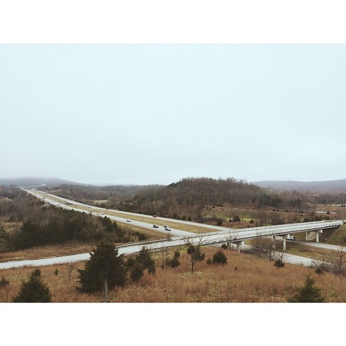
Is 4500 feet Enough?

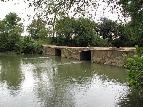
Red Bridge

Show Me
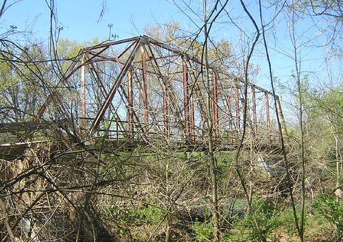
Sideview Tilly Willy Bridge

spark plug
Harvey-Dowell Side View

Last Light

????????????

Tonight's sunset. #nofilter #noedit #iphoneonly #iphoneography #iphone4s #sunset #clouds

JeanPaul-10.jpg

Finding Shelter in your Shade

Mossy Bark
Northwest AR
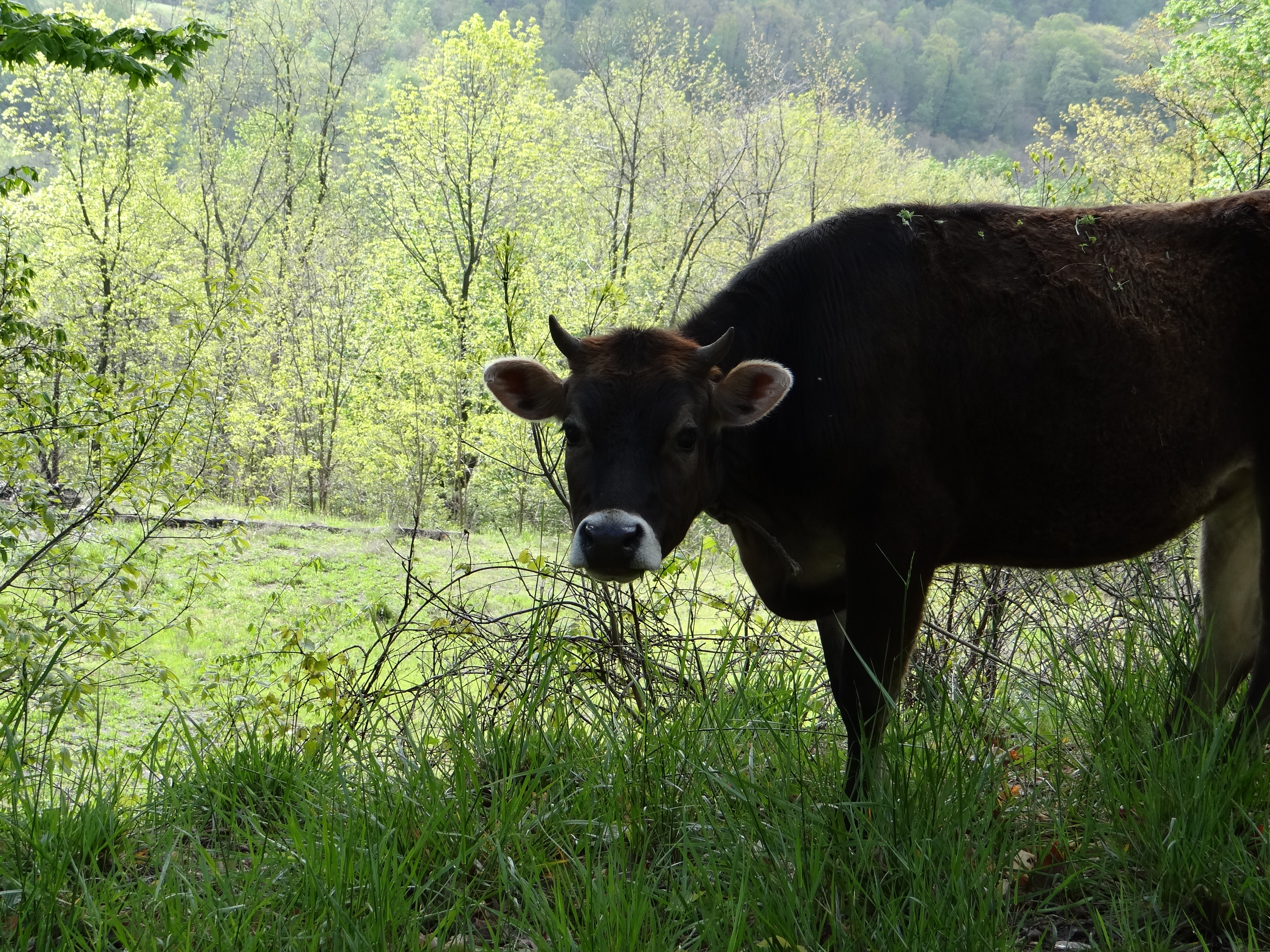
Hanging out on the side of the road.
Lake Sequoyah
photo 2

West Fork Riverside_Park_20150621_002
Topographic Map of S Whitehouse Rd, Fayetteville, AR, USA
Find elevation by address:

Places near S Whitehouse Rd, Fayetteville, AR, USA:
White River Township
S Whitehouse Rd, Fayetteville, AR, USA
14432 Truelove Road
S Harris Dr, Fayetteville, AR, USA
Elkins
Crawford Township
1901 Willow Oak
1901 Willow Oak
Elkins Township
Prairie Township
Harris Dr, Fayetteville, AR, USA
1639 Harris Dr
Hazel Valley Rd, Fayetteville, AR, USA
Washington County
Richland Township
717 Ar-16
717 Ar-16
West Fork Township
Brannon Mountain Road
11204 E Mt Olive Rd
Recent Searches:
- Elevation of Corso Fratelli Cairoli, 35, Macerata MC, Italy
- Elevation of Tallevast Rd, Sarasota, FL, USA
- Elevation of 4th St E, Sonoma, CA, USA
- Elevation of Black Hollow Rd, Pennsdale, PA, USA
- Elevation of Oakland Ave, Williamsport, PA, USA
- Elevation of Pedrógão Grande, Portugal
- Elevation of Klee Dr, Martinsburg, WV, USA
- Elevation of Via Roma, Pieranica CR, Italy
- Elevation of Tavkvetili Mountain, Georgia
- Elevation of Hartfords Bluff Cir, Mt Pleasant, SC, USA