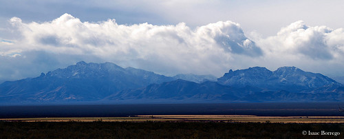
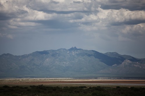
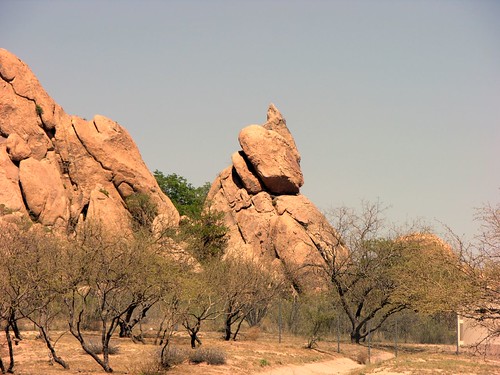
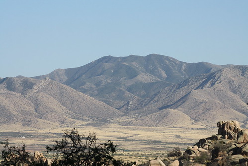
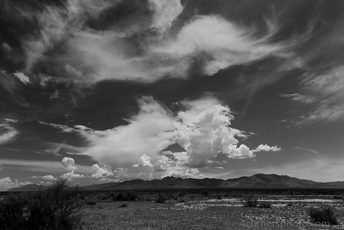
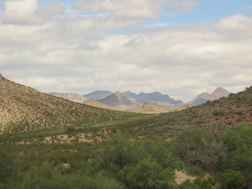
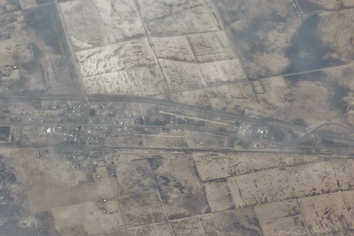
Elevation of West Charles Lane, W Charles Ln, San Simon, AZ, USA
Location: United States > Arizona > Cochise County > San Simon >
Longitude: -109.23235
Latitude: 32.284242
Elevation: 1097m / 3599feet
Barometric Pressure: 89KPa
Related Photos:
Topographic Map of West Charles Lane, W Charles Ln, San Simon, AZ, USA
Find elevation by address:

Places near West Charles Lane, W Charles Ln, San Simon, AZ, USA:
San Simon
Wood Canyon Road
Fort Bowie Ranger Station & Visitor Center
E Business Loop, Bowie, AZ, USA
Bowie
San Simon Cienega
Chiricahua National Monument
S Trogon Ln, San Simon, AZ, USA
Hilltop
Bonita Canyon Campground (npsrecgovdata)
Chiricahua National Monument Visitor Center
Blue Mountain
East Bonita Canyon Road
Pinery Canyon Road
S Timberline Dr, San Simon, AZ, USA
Paradise
Pinery Canyon Campground
2095 S Milky Way
1185 W Prickly Pear Ln
2372 S Cathedral Rock Rd
Recent Searches:
- Elevation of Corso Fratelli Cairoli, 35, Macerata MC, Italy
- Elevation of Tallevast Rd, Sarasota, FL, USA
- Elevation of 4th St E, Sonoma, CA, USA
- Elevation of Black Hollow Rd, Pennsdale, PA, USA
- Elevation of Oakland Ave, Williamsport, PA, USA
- Elevation of Pedrógão Grande, Portugal
- Elevation of Klee Dr, Martinsburg, WV, USA
- Elevation of Via Roma, Pieranica CR, Italy
- Elevation of Tavkvetili Mountain, Georgia
- Elevation of Hartfords Bluff Cir, Mt Pleasant, SC, USA

