Elevation of San Simon, AZ, USA
Location: United States > Arizona > Cochise County >
Longitude: -109.22683
Latitude: 32.2676022
Elevation: 1106m / 3629feet
Barometric Pressure: 89KPa
Elevation Map:
Satellite Map:
Related Photos:

Upland Sandpiper (Bartramia longicauda)
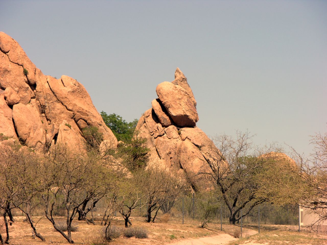
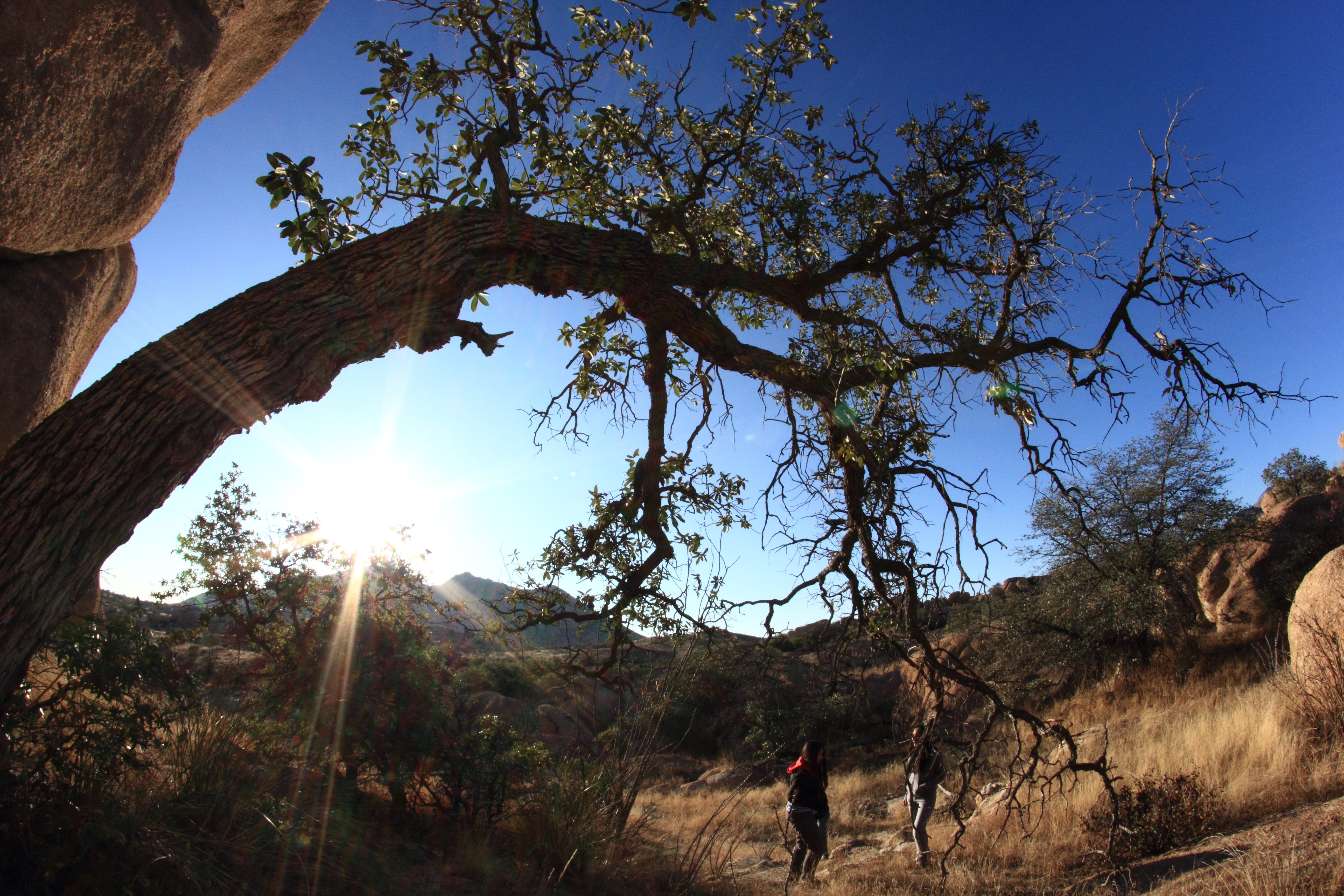
Grey Sky/Red Rocks
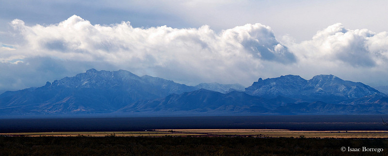
Snow on the Chiricahua Mountains
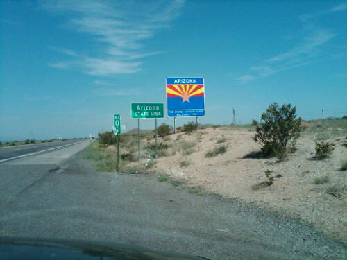
Another day, another state
Drive from Phoenix, AZ to Alamogord, NM 03

Road Landscape-6022-Edit
Somewhere in AZ!

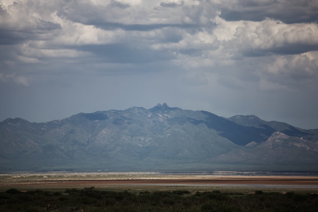
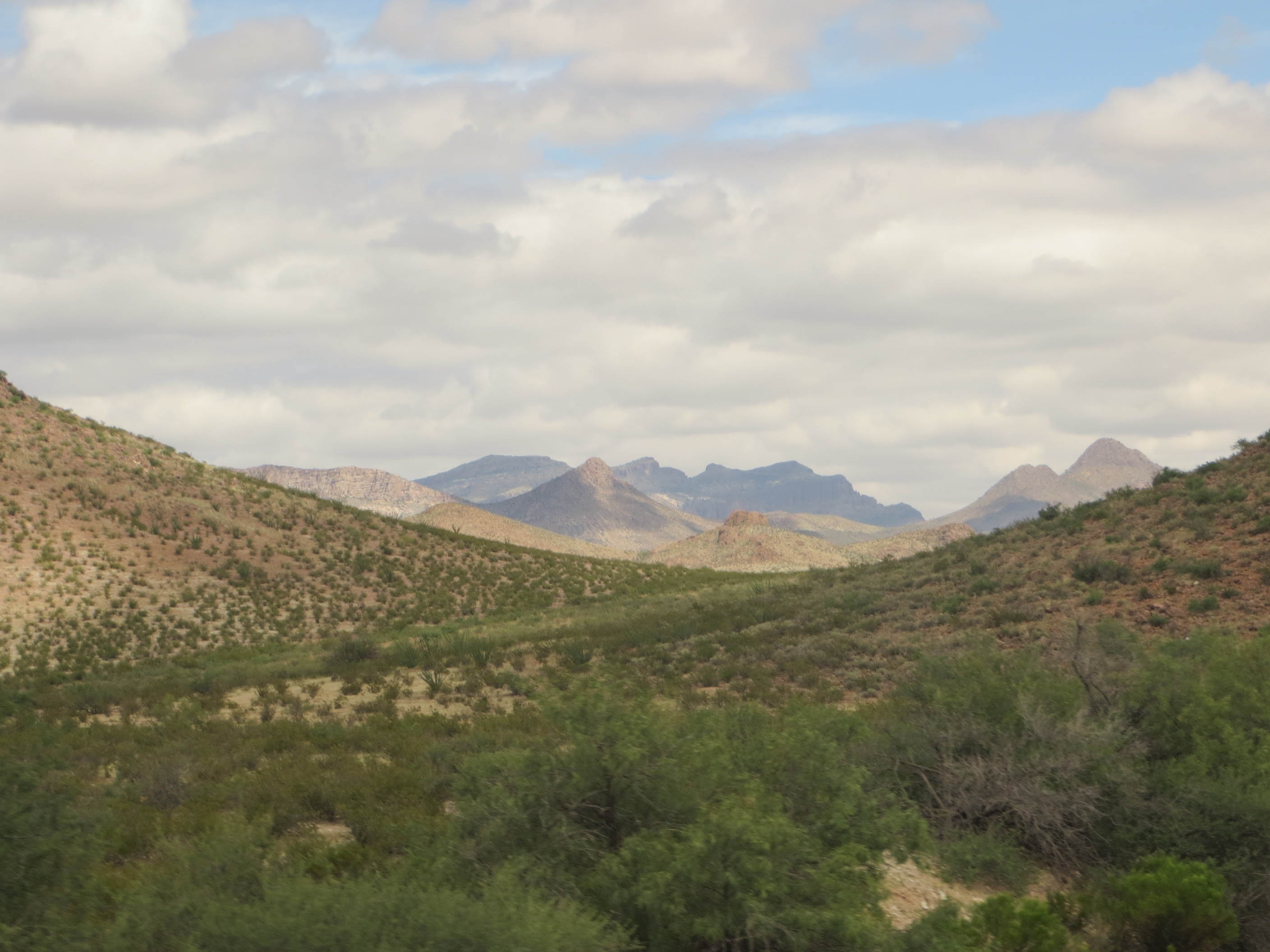
Mountains in Arizona
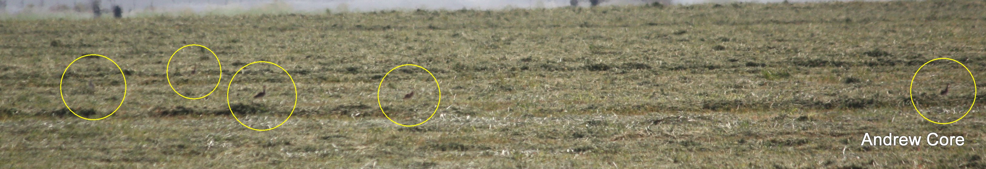
Upland Sandpipers, San Simon Valley AZ
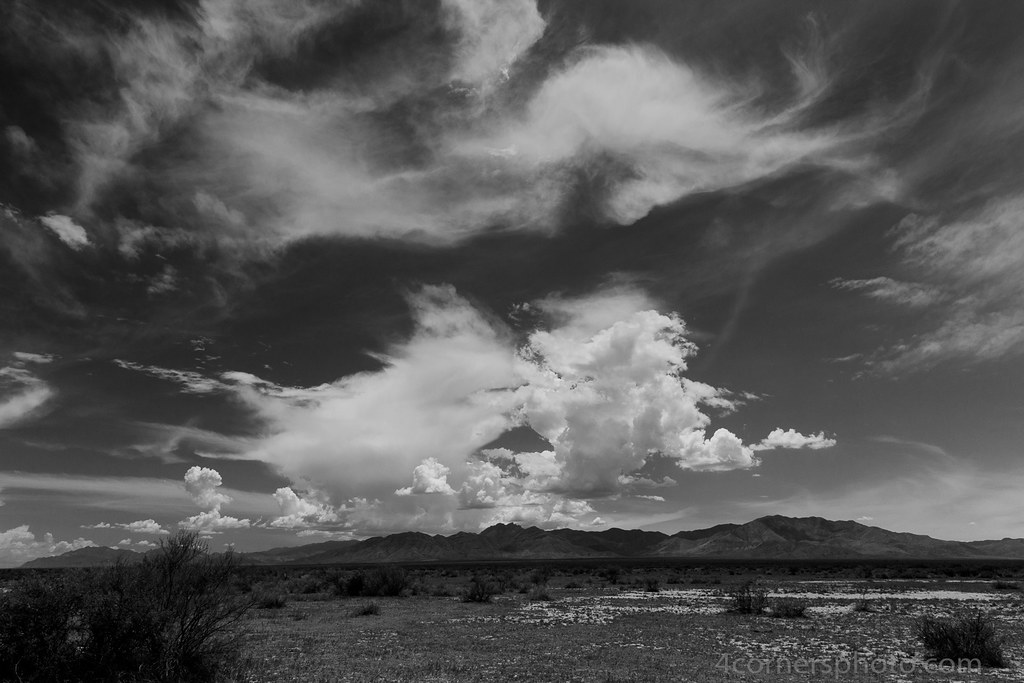
Clouds, Chiricahua National Monument, AZ
20140908 23 Arizona Desert
IMG_4424.CR2
Topographic Map of San Simon, AZ, USA
Find elevation by address:

Places in San Simon, AZ, USA:
Silver Peak
E Highway 80, San Simon, AZ, USA
West Charles Lane
S Timberline Dr, San Simon, AZ, USA
S Trogon Ln, San Simon, AZ, USA
Wood Canyon Road
Places near San Simon, AZ, USA:
Wood Canyon Road
West Charles Lane
Fort Bowie Ranger Station & Visitor Center
E Business Loop, Bowie, AZ, USA
Bowie
San Simon Cienega
S Trogon Ln, San Simon, AZ, USA
Hilltop
Chiricahua National Monument
Bonita Canyon Campground (npsrecgovdata)
Chiricahua National Monument Visitor Center
Blue Mountain
East Bonita Canyon Road
S Timberline Dr, San Simon, AZ, USA
Pinery Canyon Road
Paradise
Pinery Canyon Campground
2095 S Milky Way
1185 W Prickly Pear Ln
2372 S Cathedral Rock Rd
Recent Searches:
- Elevation of Corso Fratelli Cairoli, 35, Macerata MC, Italy
- Elevation of Tallevast Rd, Sarasota, FL, USA
- Elevation of 4th St E, Sonoma, CA, USA
- Elevation of Black Hollow Rd, Pennsdale, PA, USA
- Elevation of Oakland Ave, Williamsport, PA, USA
- Elevation of Pedrógão Grande, Portugal
- Elevation of Klee Dr, Martinsburg, WV, USA
- Elevation of Via Roma, Pieranica CR, Italy
- Elevation of Tavkvetili Mountain, Georgia
- Elevation of Hartfords Bluff Cir, Mt Pleasant, SC, USA