Elevation of San Simon Cienega, New Mexico, USA
Location: United States > New Mexico > Animas >
Longitude: -109.04505
Latitude: 32.0634203
Elevation: 1180m / 3871feet
Barometric Pressure: 88KPa
Elevation Map:
Satellite Map:
Related Photos:

Upland Sandpiper (Bartramia longicauda)
Spring in the desert

Rustys Rv ranch

Upland Sandpipers, San Simon Valley AZ
Upland Sandpipers, San Simon Valley AZ
Oct1609-AZ (19)
Running from the rain on Foothills Road
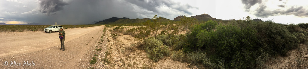
Running from the rain on Foothills Road
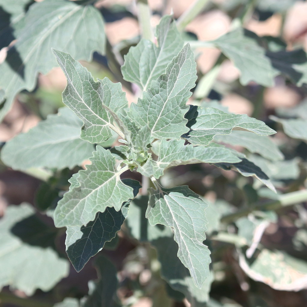
Aster (Asteraceae)2, Foothills Road, San Simon, AZ, 8-12-16
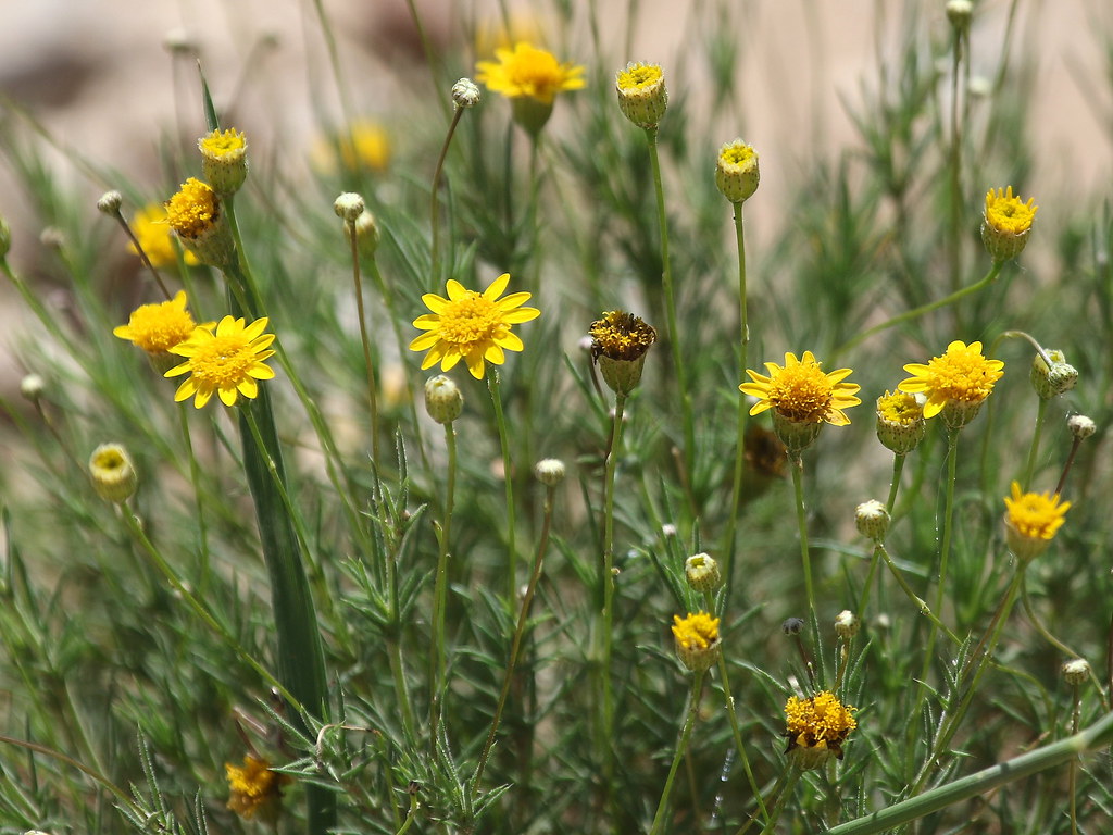
Parralena (Thymophylla pentachaeta), Foothills Road, San Simon, AZ, 8-12-16
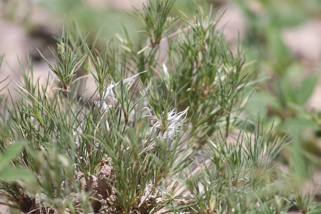
Low Woollygrass (Dasyochloa pulchella), San Simon, Cochise County, AZ, 8-13-16
Entering the Chiricahua Mountains
Entering the Chiricahua Mountains

Looking north down New Mexico State Road 80 from junction with State Road 9
Rodeo, NM 88020
Rodeo, NM 88020
Topographic Map of San Simon Cienega, New Mexico, USA
Find elevation by address:

Places near San Simon Cienega, New Mexico, USA:
Blue Mountain
68 W Shangri La Ln
2095 S Milky Way
838 Portal Rd
NM-, Animas, NM, USA
1185 W Prickly Pear Ln
Portal
S Rock House Rd, Portal, AZ, USA
2372 S Cathedral Rock Rd
Cave Creek Canyon
S Timberline Dr, San Simon, AZ, USA
Paradise
Silver Peak
Gray Mountain
Rodeo
S Trogon Ln, San Simon, AZ, USA
Hilltop
390 Sulphur Canyon Rd
Pinery Canyon Campground
Animas
Recent Searches:
- Elevation of Corso Fratelli Cairoli, 35, Macerata MC, Italy
- Elevation of Tallevast Rd, Sarasota, FL, USA
- Elevation of 4th St E, Sonoma, CA, USA
- Elevation of Black Hollow Rd, Pennsdale, PA, USA
- Elevation of Oakland Ave, Williamsport, PA, USA
- Elevation of Pedrógão Grande, Portugal
- Elevation of Klee Dr, Martinsburg, WV, USA
- Elevation of Via Roma, Pieranica CR, Italy
- Elevation of Tavkvetili Mountain, Georgia
- Elevation of Hartfords Bluff Cir, Mt Pleasant, SC, USA