Elevation of Wells, VT, USA
Location: United States > Vermont > Rutland County >
Longitude: -73.204274
Latitude: 43.4172937
Elevation: 154m / 505feet
Barometric Pressure: 99KPa
Elevation Map:
Satellite Map:
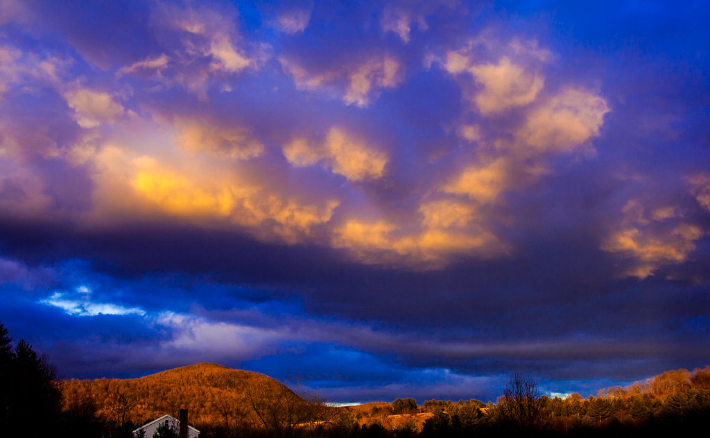
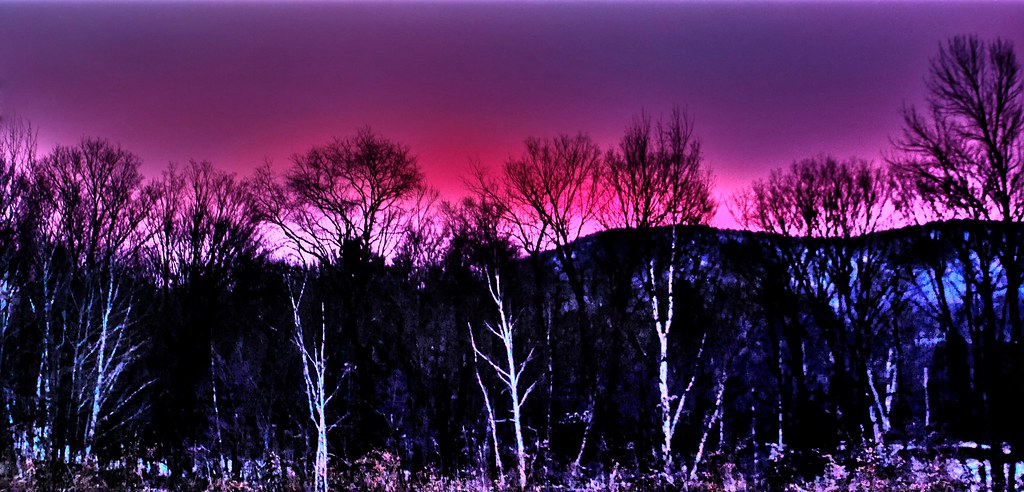
Related Photos:
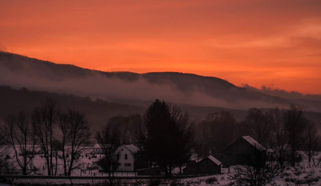
Pawlet Sunrise
Pawlet Sunrise
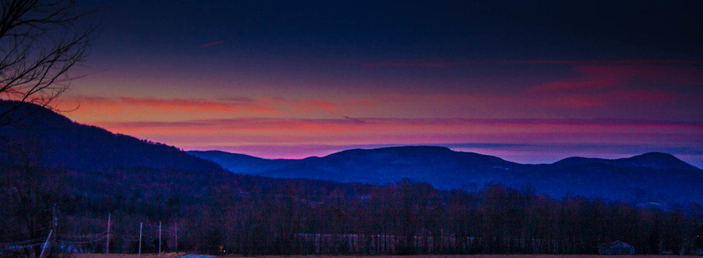
Pink Sunrise
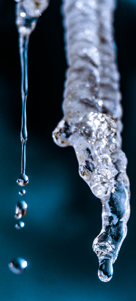
Ice Droplets
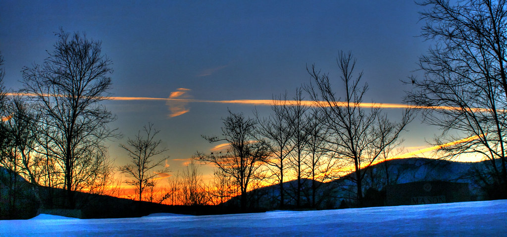
Sunset Glow

After The Storm

Over The Lake
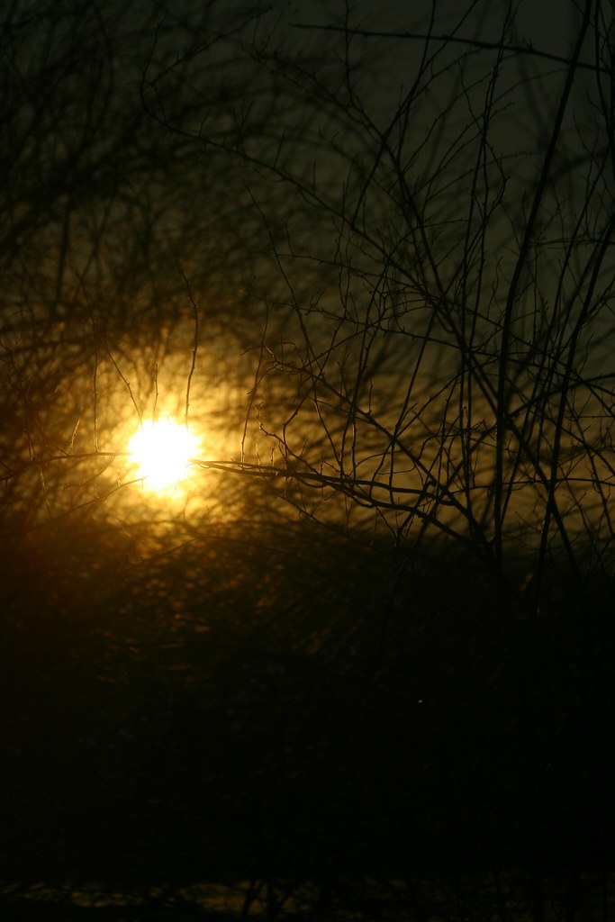
Through the Branches

10/22/12 sunset III

Starry night
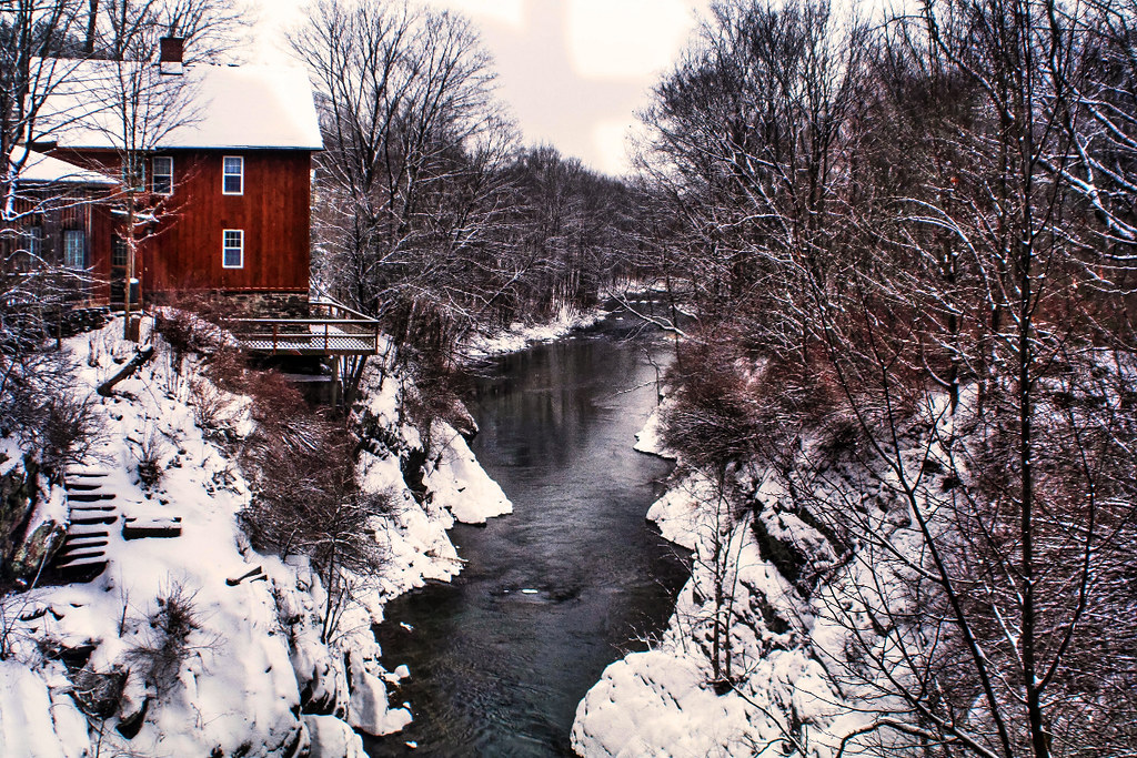
By The River
A Little bit of color
Winter Light
Barn at Sunrise

Winter Shadows
Sunset Panorama

Sunrise Over the mountain

Into the sunset

Sunset in Winter

Before sunset

Fiery clouds

Orange sunset (Explored)
Night Sky

10/21/12 Sunset
Sunset(explored)
On Fire
starry night
Poultney Rainbows
Topographic Map of Wells, VT, USA
Find elevation by address:

Places in Wells, VT, USA:
Places near Wells, VT, USA:
8 E Pine St
Granville
Thornwood Farm Equines/farrier
52 North St
8232 Ny-22
Pawlet
2777 Th 7
73 Beecher Rd
Granville
400 Towslee Hill Rd
7676 Ny-22
Co Rd 31, Granville, NY, USA
163 Co Rd 28
Pawlet Mountain Road
625 Sykes Hollow Rd
Co Rd 23, Granville, NY, USA
3453 Rupert Mountain Rd
Vermont 315
NY-22, Granville, NY, USA
Co Rd 31, Granville, NY, USA
Recent Searches:
- Elevation of Corso Fratelli Cairoli, 35, Macerata MC, Italy
- Elevation of Tallevast Rd, Sarasota, FL, USA
- Elevation of 4th St E, Sonoma, CA, USA
- Elevation of Black Hollow Rd, Pennsdale, PA, USA
- Elevation of Oakland Ave, Williamsport, PA, USA
- Elevation of Pedrógão Grande, Portugal
- Elevation of Klee Dr, Martinsburg, WV, USA
- Elevation of Via Roma, Pieranica CR, Italy
- Elevation of Tavkvetili Mountain, Georgia
- Elevation of Hartfords Bluff Cir, Mt Pleasant, SC, USA