Elevation of Pawlet Mountain Road, Pawlet Mountain Rd, Rupert, VT, USA
Location: United States > Vermont > Bennington County > Rupert >
Longitude: -73.199491
Latitude: 43.2871896
Elevation: 396m / 1299feet
Barometric Pressure: 97KPa
Elevation Map:
Satellite Map:
Related Photos:
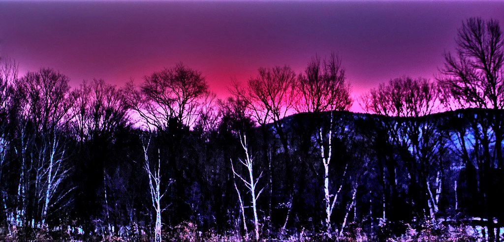
Pink Sunrise
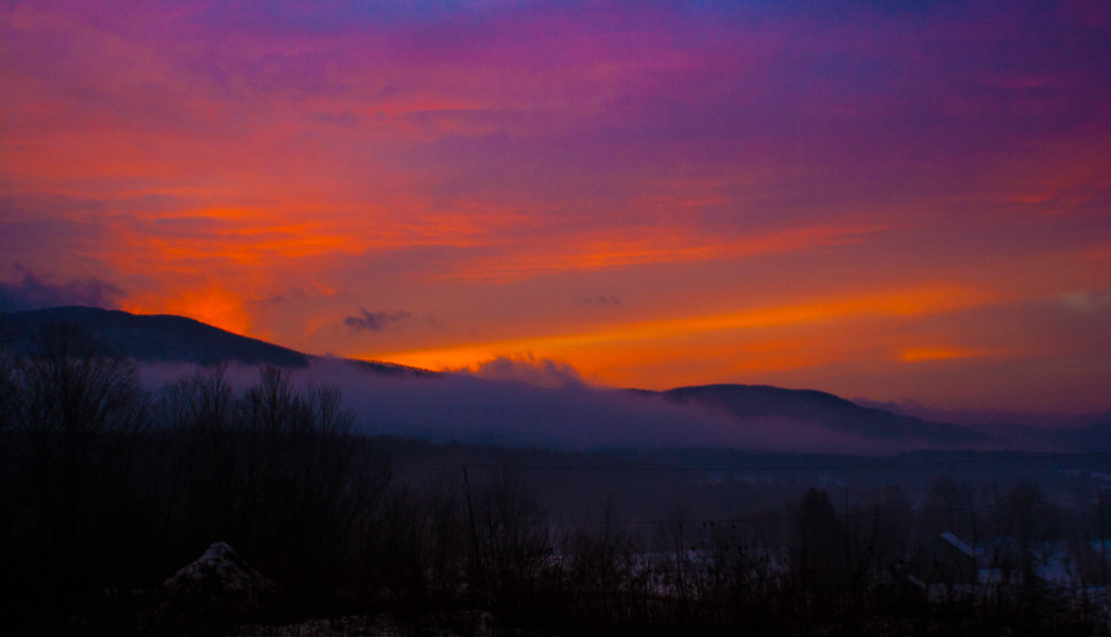
Pawlet Sunrise
Sunset Glow

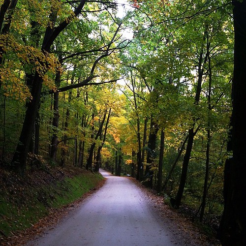
Through the Branches
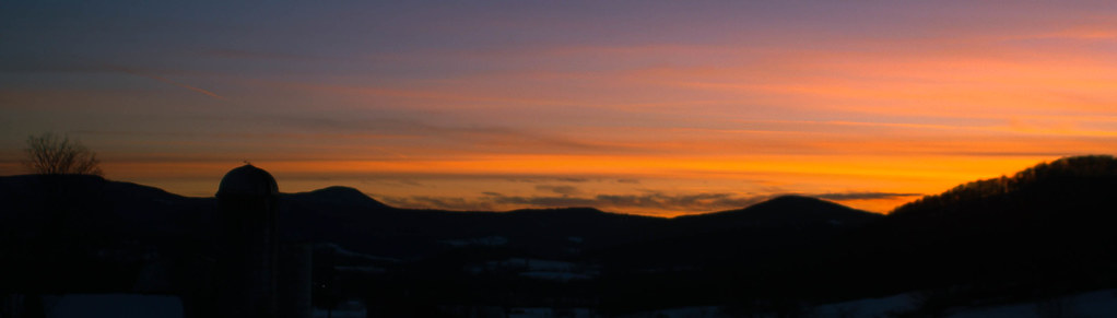
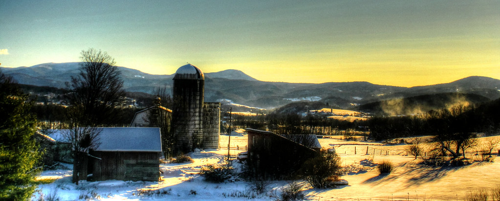
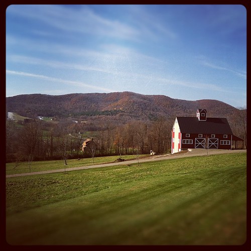
Barn at Sunrise

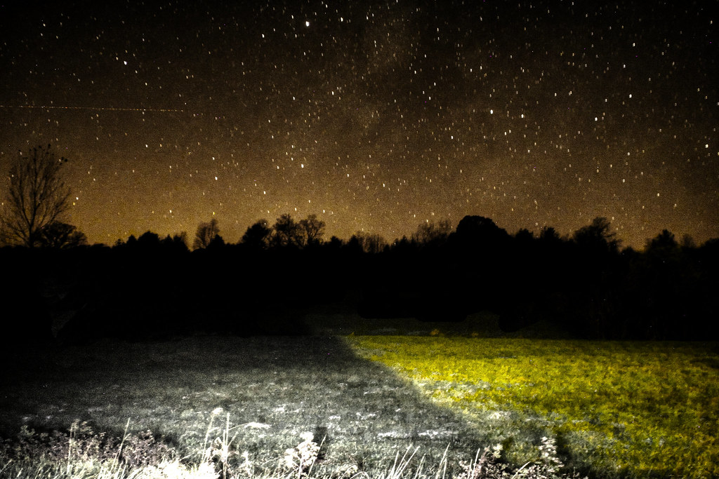
Starry night

Before sunset

On Fire
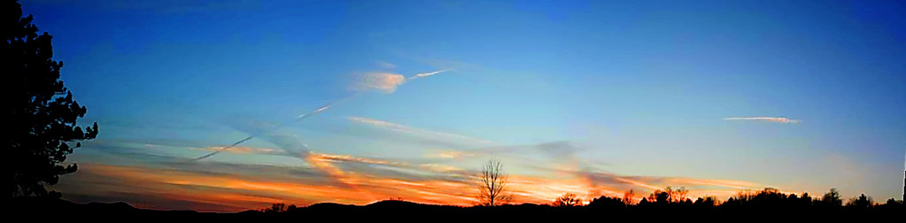
Strips of colors

Winter Shadows

Into the sunset
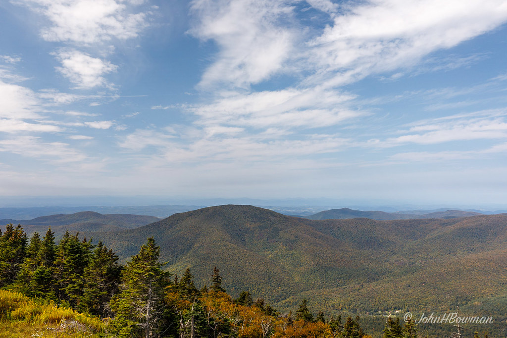
Green Mountains - Vermont
Pawlet Sunrise
A Little bit of color

After The Storm
Misty Sunrise
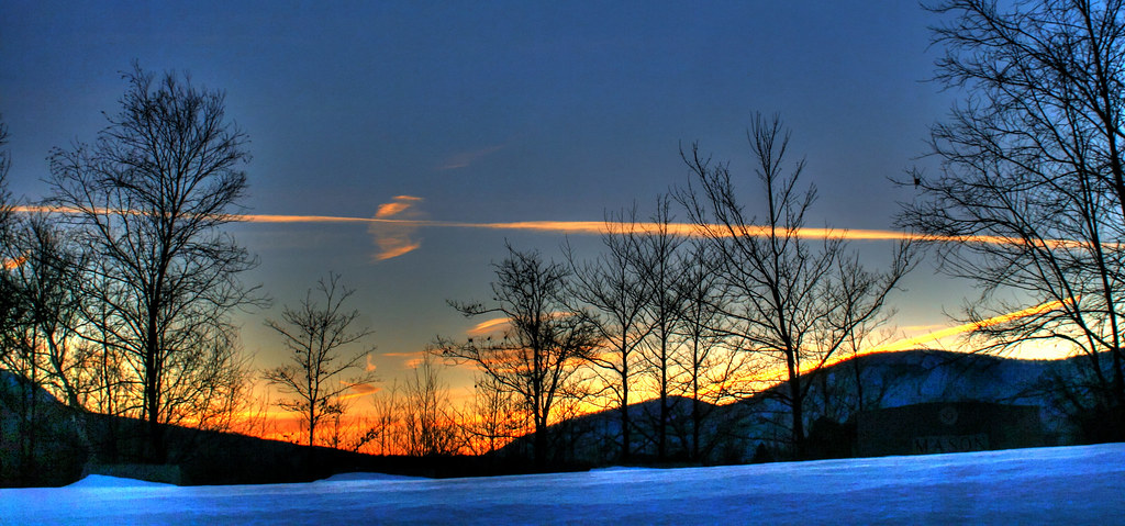
Winter Light
Sunset Panorama

Mydas fly

Sunset in Winter

10/21/12 Sunset
Waterfall East Hebron, NY
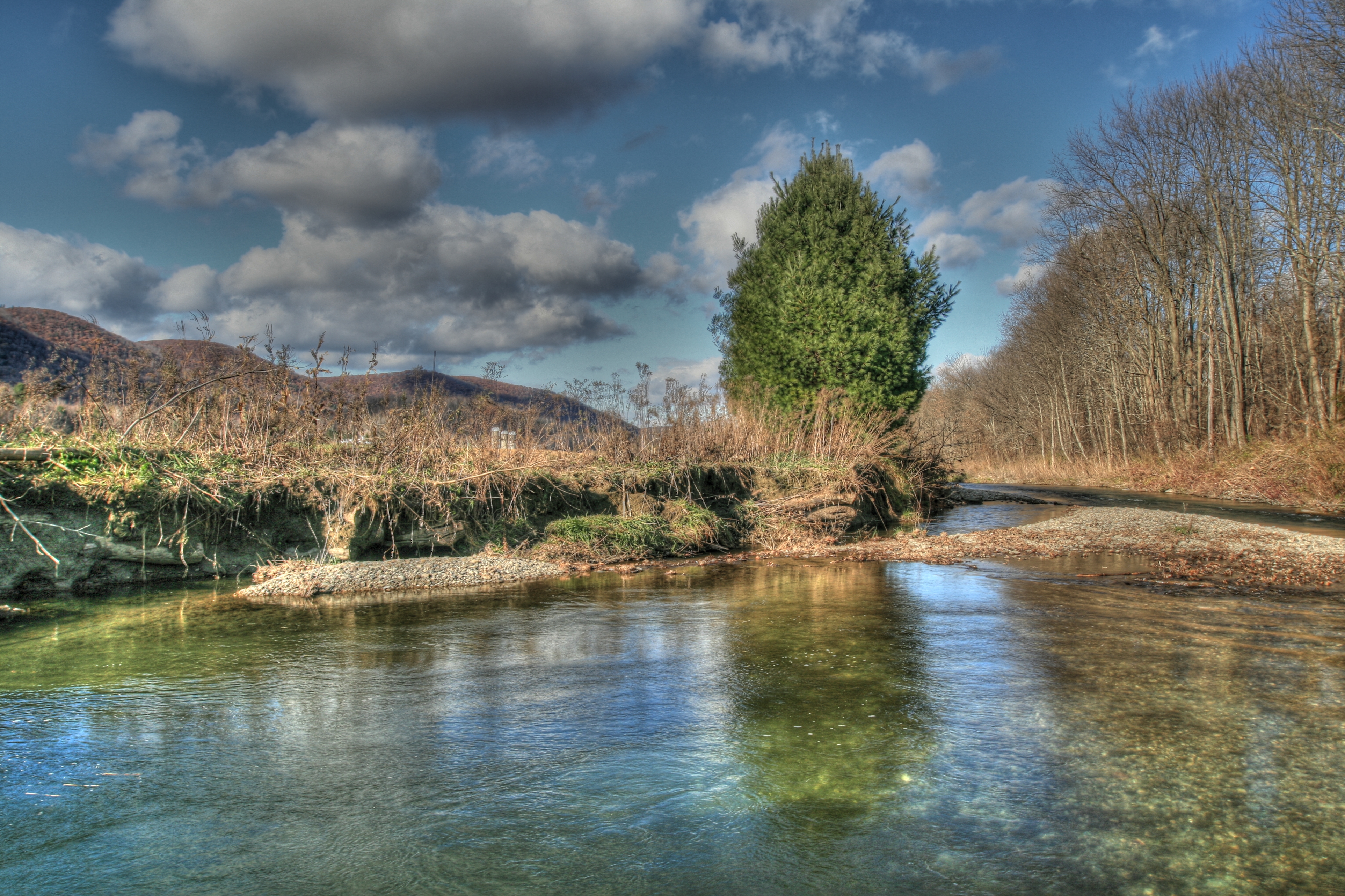
Mettowee River 5
#howtobeblack in #vt with @thewheelmccoy
Heading for a midday hike. Followed by a midday-get-poured-on-while-hiking. #latergram

Orange sunset (Explored)
Night Sky

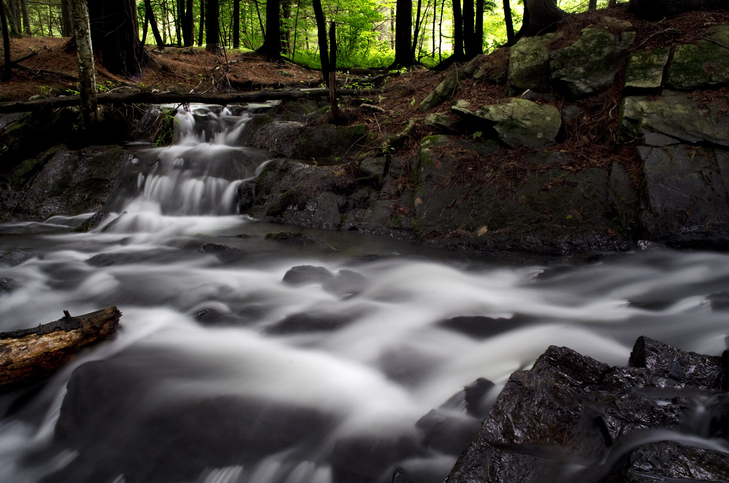
Rushing waterfall

10/22/12 sunset II

Barn at sunset(Explored)
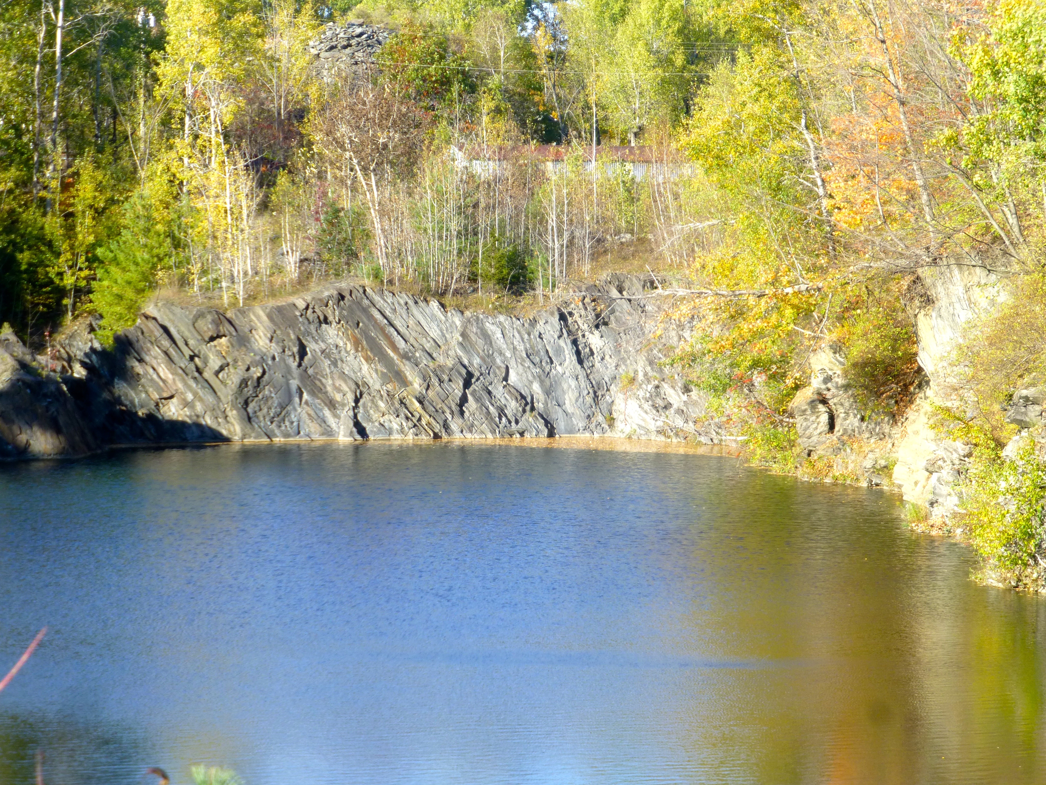
East-dipplng slate, abandoned slate quarry, West Pawlet, VT
Topographic Map of Pawlet Mountain Road, Pawlet Mountain Rd, Rupert, VT, USA
Find elevation by address:

Places near Pawlet Mountain Road, Pawlet Mountain Rd, Rupert, VT, USA:
Vermont 315
3453 Rupert Mountain Rd
Rupert
2777 Th 7
400 Towslee Hill Rd
Pawlet
625 Sykes Hollow Rd
Rupert Mountain Rd, Dorset, VT, USA
NY-22, Granville, NY, USA
124 Sheldon Rd
7676 Ny-22
13 Indian Head Way
Co Rd 31, Granville, NY, USA
8232 Ny-22
Thornwood Farm Equines/farrier
163 Co Rd 28
Tiplady Road
Co Rd 31, Granville, NY, USA
Wells
Granville
Recent Searches:
- Elevation of Corso Fratelli Cairoli, 35, Macerata MC, Italy
- Elevation of Tallevast Rd, Sarasota, FL, USA
- Elevation of 4th St E, Sonoma, CA, USA
- Elevation of Black Hollow Rd, Pennsdale, PA, USA
- Elevation of Oakland Ave, Williamsport, PA, USA
- Elevation of Pedrógão Grande, Portugal
- Elevation of Klee Dr, Martinsburg, WV, USA
- Elevation of Via Roma, Pieranica CR, Italy
- Elevation of Tavkvetili Mountain, Georgia
- Elevation of Hartfords Bluff Cir, Mt Pleasant, SC, USA