Elevation of Rupert Mountain Rd, Dorset, VT, USA
Location: United States > Vermont > Bennington County > Dorset >
Longitude: -73.166785
Latitude: 43.283705
Elevation: 483m / 1585feet
Barometric Pressure: 96KPa
Elevation Map:
Satellite Map:
Related Photos:
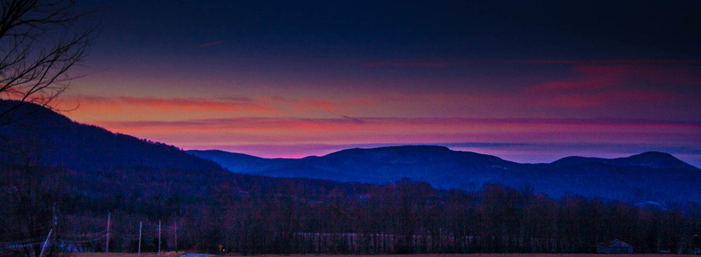
Pink Sunrise
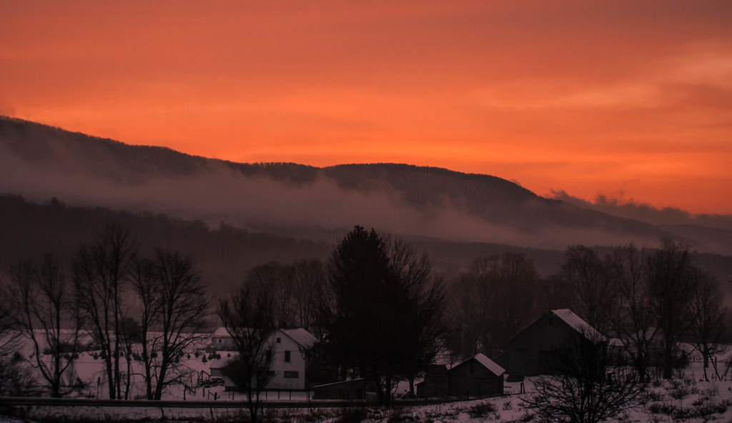
Pawlet Sunrise
Pawlet Sunrise
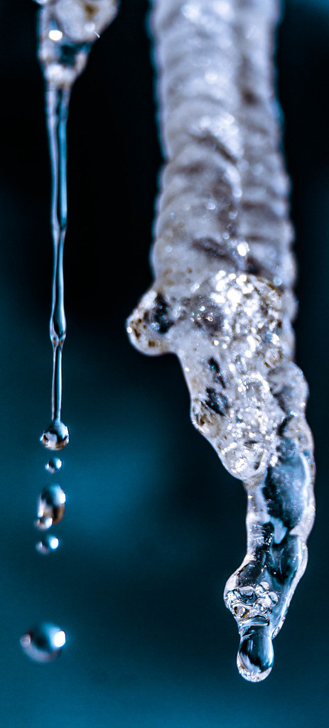
Ice Droplets
A Little bit of color
Sunset Glow

After The Storm

Through the Branches
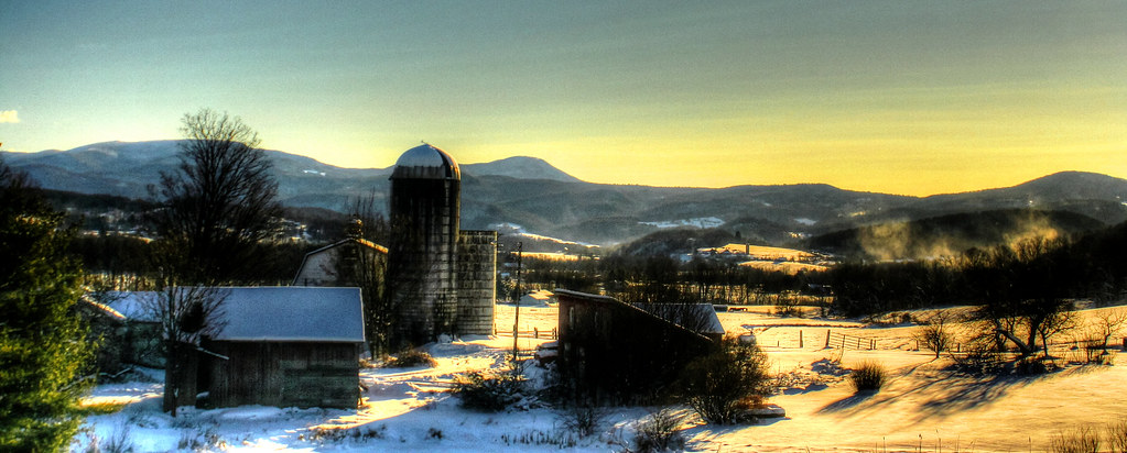
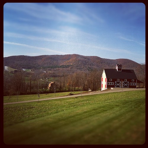
Barn at Sunrise

Starry night
Misty Sunrise

On Fire
Winter Light
Strips of colors

Winter Shadows
Morning View

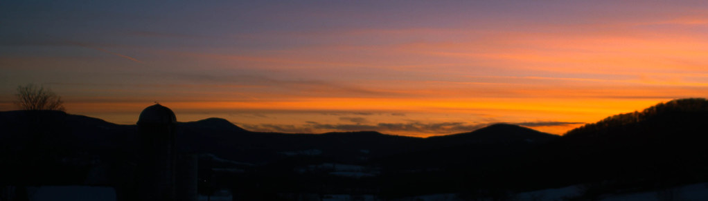
Into the sunset
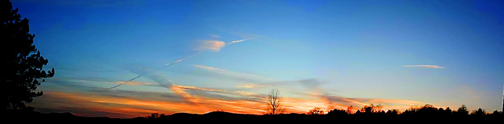
Sunset Panorama
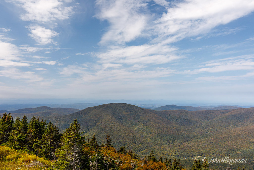
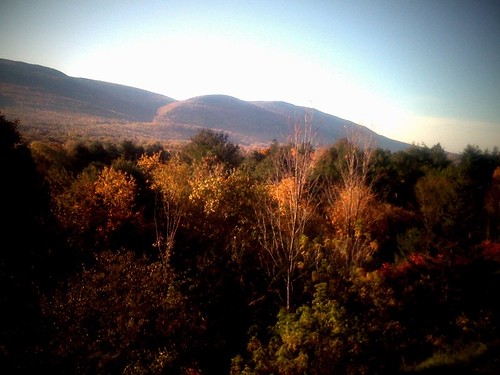
Green Mountains - Vermont

Mydas fly

Sunset in Winter
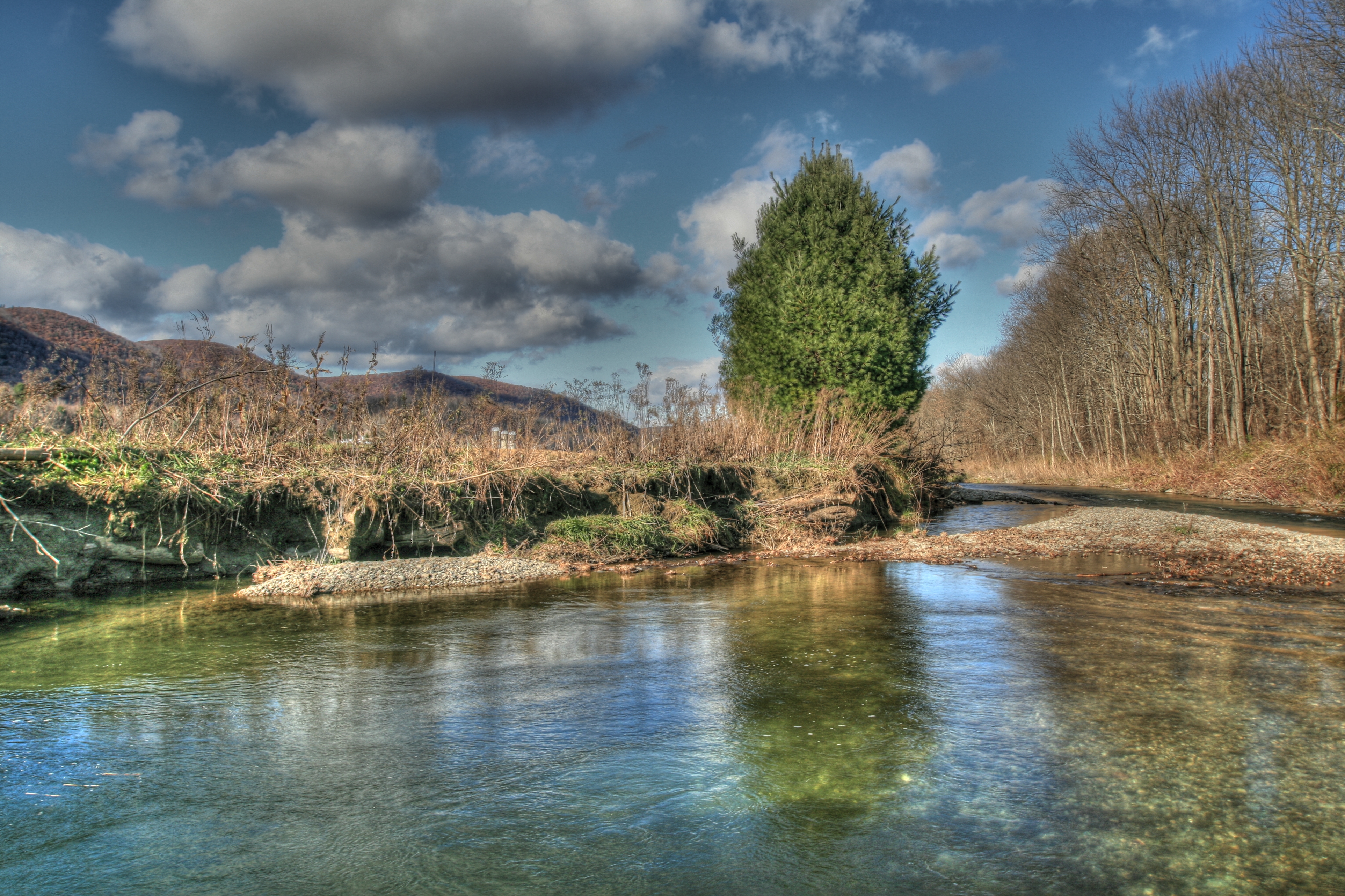
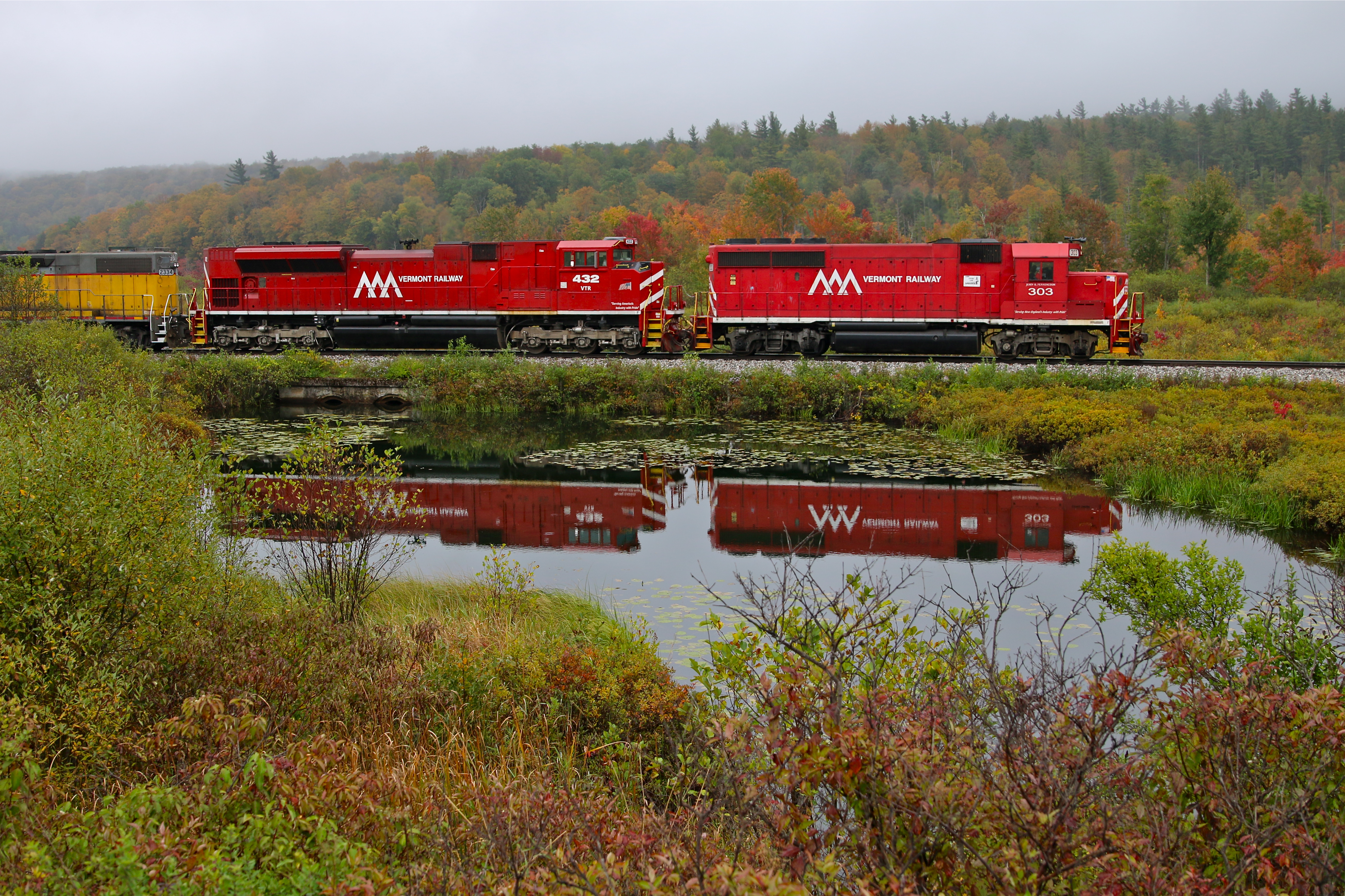
Mettowee River 5
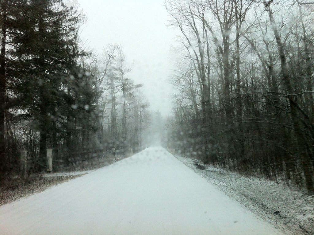
Stopping by Woods on a Snowy Evening
#howtobeblack in #vt with @thewheelmccoy
Munson Brook Falls, Manchester, VT

10/22/12 sunset II
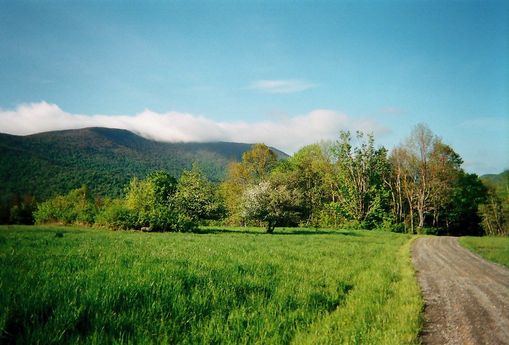
Danby, Vermont

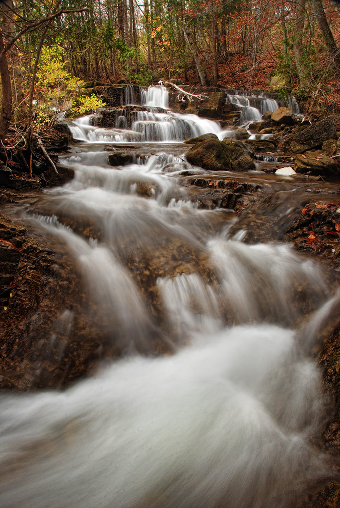
Rushing waterfall

The Equinox Golf Resort & Spa, Vermont—The Golf Club at Equinox in Summer

Orange sunset (Explored)
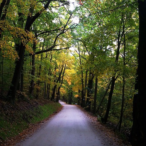
Heading for a midday hike. Followed by a midday-get-poured-on-while-hiking. #latergram
Rupert VT
Ebenville Rd, Rupert, VT

Pawlet sunrise
Topographic Map of Rupert Mountain Rd, Dorset, VT, USA
Find elevation by address:

Places near Rupert Mountain Rd, Dorset, VT, USA:
Vermont 315
Pawlet Mountain Road
625 Sykes Hollow Rd
Rupert Mountain Rd, Dorset, VT, USA
400 Towslee Hill Rd
2777 Th 7
Rupert
Pawlet
124 Sheldon Rd
NY-22, Granville, NY, USA
7676 Ny-22
13 Indian Head Way
8232 Ny-22
Thornwood Farm Equines/farrier
Co Rd 31, Granville, NY, USA
Wells
163 Co Rd 28
Tiplady Road
Granville
Co Rd 31, Granville, NY, USA
Recent Searches:
- Elevation of Corso Fratelli Cairoli, 35, Macerata MC, Italy
- Elevation of Tallevast Rd, Sarasota, FL, USA
- Elevation of 4th St E, Sonoma, CA, USA
- Elevation of Black Hollow Rd, Pennsdale, PA, USA
- Elevation of Oakland Ave, Williamsport, PA, USA
- Elevation of Pedrógão Grande, Portugal
- Elevation of Klee Dr, Martinsburg, WV, USA
- Elevation of Via Roma, Pieranica CR, Italy
- Elevation of Tavkvetili Mountain, Georgia
- Elevation of Hartfords Bluff Cir, Mt Pleasant, SC, USA