Elevation of Parks Drive, Parks Dr, Wells, VT, USA
Location: United States > Vermont > Rutland County > Wells >
Longitude: -73.202199
Latitude: 43.4435923
Elevation: 157m / 515feet
Barometric Pressure: 99KPa
Elevation Map:
Satellite Map:
Related Photos:
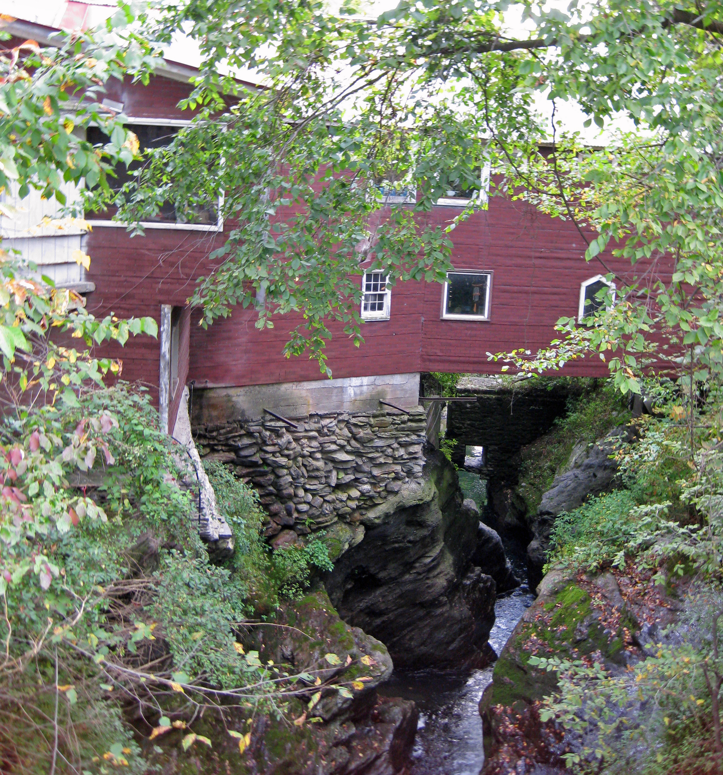
Mach's General Store
Pink Sunrise
Pawlet Sunrise

Ice Droplets
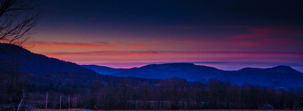
Pawlet Sunrise

Sunset Glow

A Little bit of color

Through the Branches

After The Storm

Over The Lake
By The River

Sunrise Over the mountain

Starry night
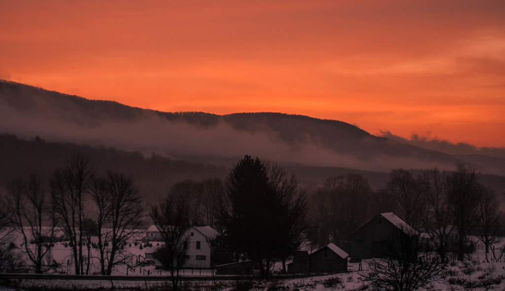
Barn at Sunrise

Misty Sunrise

10/22/12 sunset III

Before sunset

On Fire
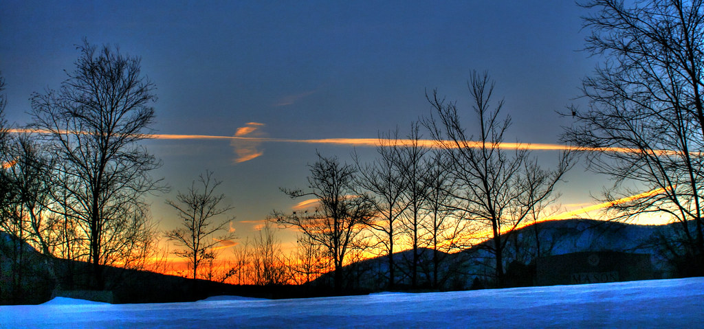
Winter Light

Winter Shadows

Strips of colors

Orange sunset (Explored)

Barn at sunset(Explored)

10/21/12 Sunset

Into the sunset

Sunset(explored)

Fiery clouds
Poultney Rainbows
Topographic Map of Parks Drive, Parks Dr, Wells, VT, USA
Find elevation by address:

Places near Parks Drive, Parks Dr, Wells, VT, USA:
Parker Lane
1538 North St
248 Western Shores Rd
1386 W Lake Rd
197 W Lake Rd
795 Saw Mill Hill Rd
40 Fox Bridge Ln
Mountain Road
70 E Rd
342 High Chapparal Rd
NY-22A, Hampton, NY, USA
82 Rocks And Trees Ln
205 Thrall Rd
475 E Main St
Poultney
Poultney
122 On The Green
York Street
50 Poultney Ave
Hampton
Recent Searches:
- Elevation of Corso Fratelli Cairoli, 35, Macerata MC, Italy
- Elevation of Tallevast Rd, Sarasota, FL, USA
- Elevation of 4th St E, Sonoma, CA, USA
- Elevation of Black Hollow Rd, Pennsdale, PA, USA
- Elevation of Oakland Ave, Williamsport, PA, USA
- Elevation of Pedrógão Grande, Portugal
- Elevation of Klee Dr, Martinsburg, WV, USA
- Elevation of Via Roma, Pieranica CR, Italy
- Elevation of Tavkvetili Mountain, Georgia
- Elevation of Hartfords Bluff Cir, Mt Pleasant, SC, USA