Elevation of Webster Springs, WV, USA
Location: United States > West Virginia > Webster County > Central >
Longitude: -80.4134157
Latitude: 38.4792749
Elevation: 445m / 1460feet
Barometric Pressure: 0KPa
Related Photos:

Yew Mountains Panorama

Germany Valley

B&O 3743 & 4297

Williams River in Spring

Sunrise in the Smokies

BCM Fall Retreat | Cowen, WV

Gentle Cascade

Monongahela National Forest 1

Webster Springs, WV

Evening in Webster Springs, WV

Boiling Torrent on the Williams River
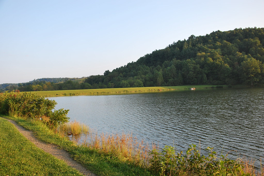
Big Ditch Lake

Big Ditch Lake

Williams River

Water Level

River Rocks

Webster Springs
Topographic Map of Webster Springs, WV, USA
Find elevation by address:

Places in Webster Springs, WV, USA:
Places near Webster Springs, WV, USA:
1st Street
Dorrtown
Washington St, Webster Springs, WV, USA
Cherry Falls Pottery
Webster County
Central
Diana
Bergoo
Northern
Gauley River Rd, Webster Springs, WV, USA
1 Highlander Dr
West Virginia
Lick Run Road
Guardian Dr, Diana, WV, USA
Erbacon Rd, Erbacon, WV, USA
461 Co Rte 15/9
6698 Webster Rd
Cowen, WV, USA
Price Glade Run
Price Glade Run
Recent Searches:
- Elevation of Jiezi, Chongzhou City, Sichuan, China
- Elevation of Chongzhou City, Sichuan, China
- Elevation of Huaiyuan, Chongzhou City, Sichuan, China
- Elevation of Qingxia, Chengdu, Sichuan, China
- Elevation of Corso Fratelli Cairoli, 35, Macerata MC, Italy
- Elevation of Tallevast Rd, Sarasota, FL, USA
- Elevation of 4th St E, Sonoma, CA, USA
- Elevation of Black Hollow Rd, Pennsdale, PA, USA
- Elevation of Oakland Ave, Williamsport, PA, USA
- Elevation of Pedrógão Grande, Portugal
- Elevation of Klee Dr, Martinsburg, WV, USA
- Elevation of Via Roma, Pieranica CR, Italy
- Elevation of Tavkvetili Mountain, Georgia
- Elevation of Hartfords Bluff Cir, Mt Pleasant, SC, USA
- Elevation of SW Barberry Dr, Beaverton, OR, USA
- Elevation of Old Ahsahka Grade, Ahsahka, ID, USA
- Elevation of State Hwy F, Pacific, MO, USA
- Elevation of Chemin de Bel air, Chem. de Bel air, Mougins, France
- Elevation of Cloverdale Dr, Bloomingdale, GA, USA
- Elevation of 3FPP+WP4, Alajuela Province, San Ramon, Costa Rica