Elevation of Erbacon Rd, Erbacon, WV, USA
Location: United States > West Virginia > Webster County > Central > Erbacon >
Longitude: -80.557742
Latitude: 38.481646
Elevation: 517m / 1696feet
Barometric Pressure: 95KPa
Elevation Map:
Satellite Map:
Related Photos:
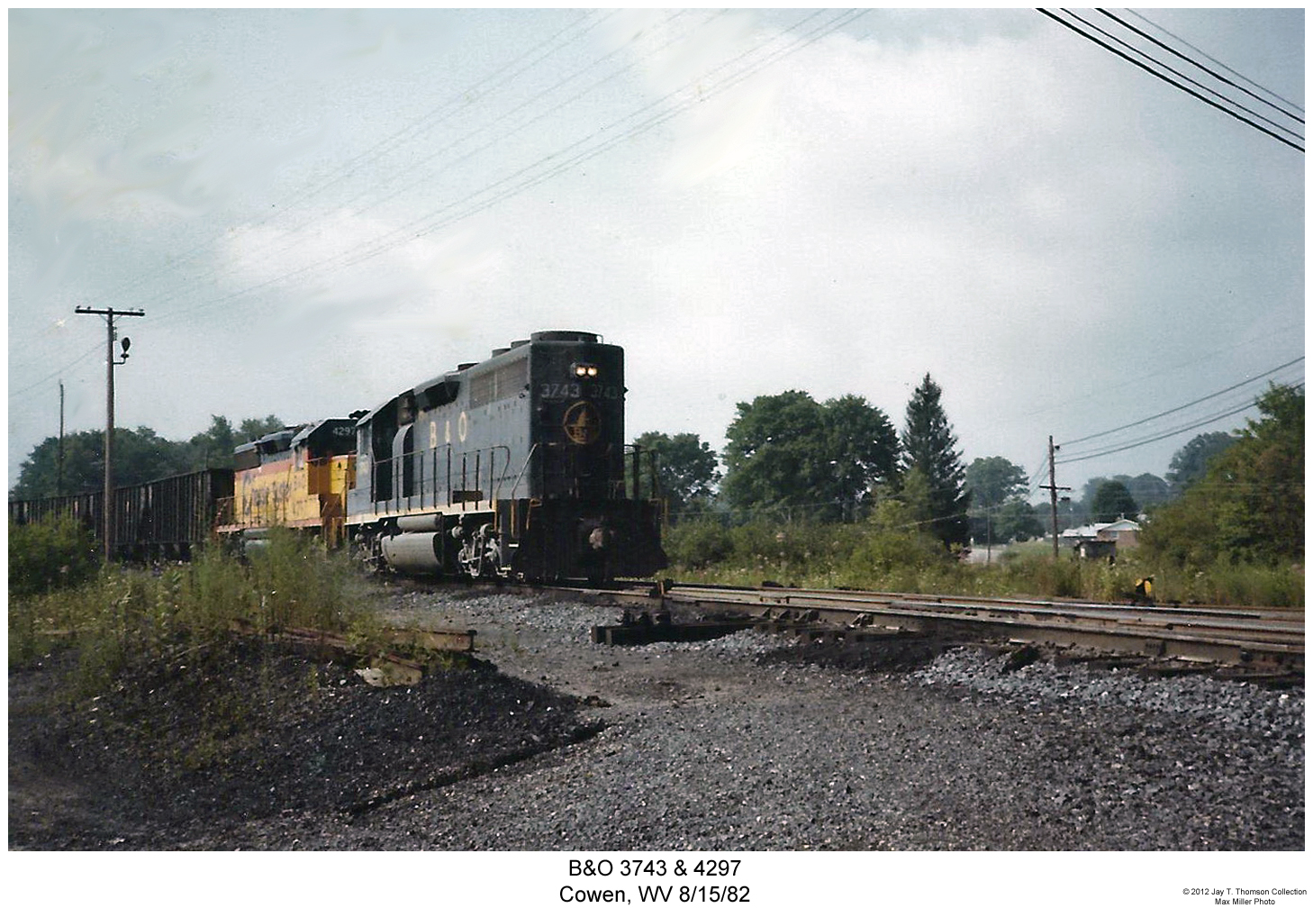
B&O 3743 & 4297

Bridge 346-01
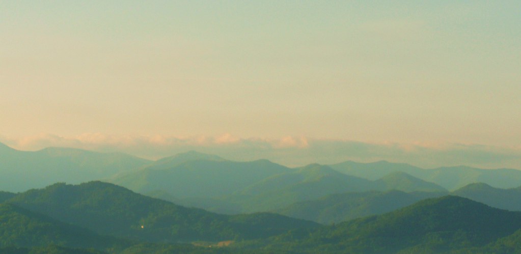
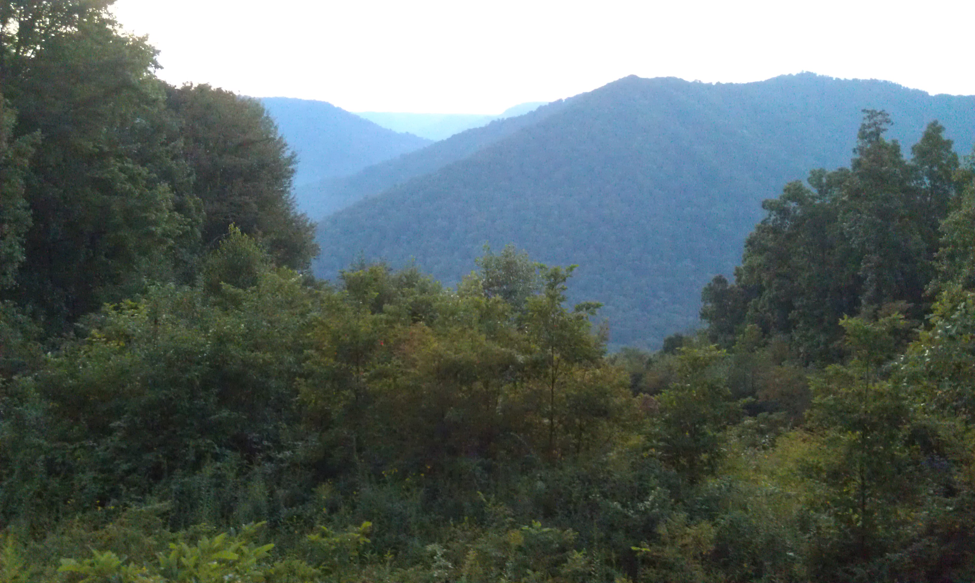
Sunrise in the Smokies

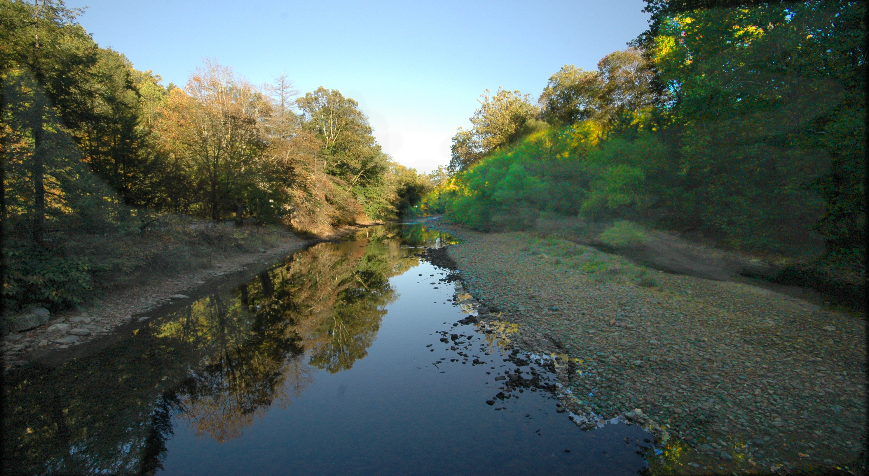
south fork
Monongahela National Forest 1
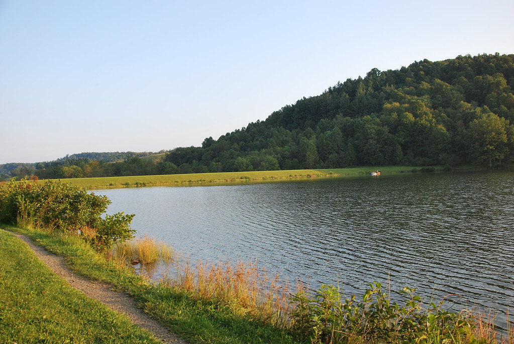
Big Ditch Lake

Webster Springs, WV

Bridge 349-01

Bridge 339-01

Big Ditch Lake

Bridge 342-03

Bridge 341-10

Bridge 349-08
Evening in Webster Springs, WV

Bridge 342-01

WV 82 Slide
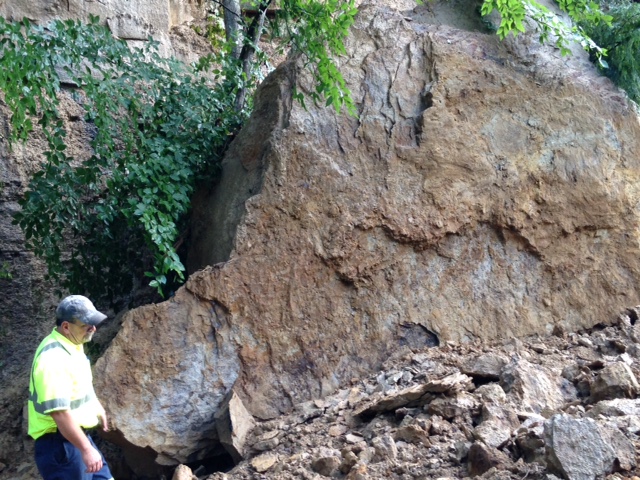
WV 82 Slide
Topographic Map of Erbacon Rd, Erbacon, WV, USA
Find elevation by address:

Places near Erbacon Rd, Erbacon, WV, USA:
77 Dodrill Rd, Erbacon, WV, USA
Cowen, WV, USA
461 Co Rte 15/9
24 Fairhill Dr
6698 Webster Rd
Cowen
135 Park St
Price Glade Run
Price Glade Run
800 John Goff Rd
800 John Goff Rd
Webster Rd, Summersville, WV, USA
Camden-on-gauley
Allingdale
Craigsville
16312 W Webstrer Rd
92 Cemco Rd
Calvin
Hamilton
Powell Mountain Church
Recent Searches:
- Elevation of Corso Fratelli Cairoli, 35, Macerata MC, Italy
- Elevation of Tallevast Rd, Sarasota, FL, USA
- Elevation of 4th St E, Sonoma, CA, USA
- Elevation of Black Hollow Rd, Pennsdale, PA, USA
- Elevation of Oakland Ave, Williamsport, PA, USA
- Elevation of Pedrógão Grande, Portugal
- Elevation of Klee Dr, Martinsburg, WV, USA
- Elevation of Via Roma, Pieranica CR, Italy
- Elevation of Tavkvetili Mountain, Georgia
- Elevation of Hartfords Bluff Cir, Mt Pleasant, SC, USA