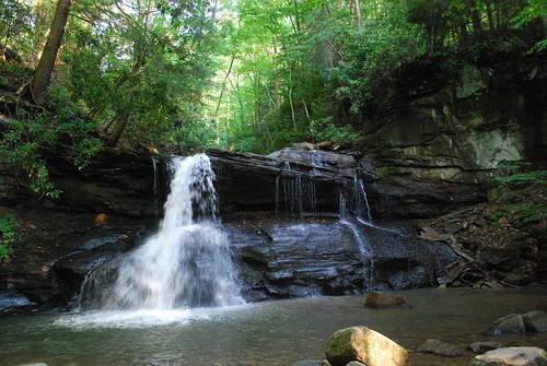
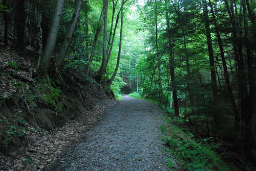
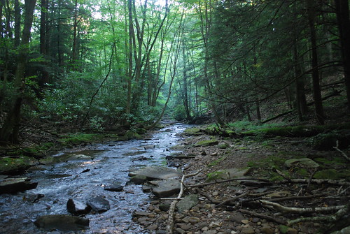
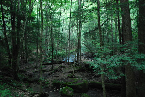
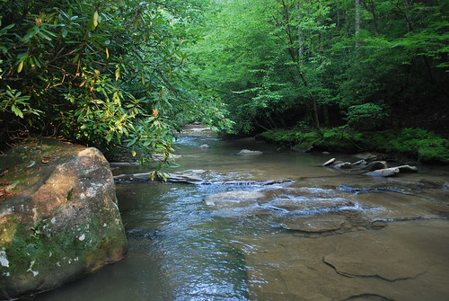
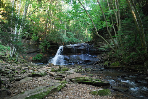
Elevation of Webster County, WV, USA
Location: United States > West Virginia >
Longitude: -80.365865
Latitude: 38.5070383
Elevation: 498m / 1634feet
Barometric Pressure: 95KPa
Related Photos:
Topographic Map of Webster County, WV, USA
Find elevation by address:

Places in Webster County, WV, USA:
Places near Webster County, WV, USA:
1st Street
Cherry Falls Pottery
Washington St, Webster Springs, WV, USA
Webster Springs
Northern
Dorrtown
Bergoo
Gauley River Rd, Webster Springs, WV, USA
Diana
Lick Run Road
Central
West Virginia
Guardian Dr, Diana, WV, USA
Hacker Valley
Holly River State Park
1 Highlander Dr
Balli Farm
Replete Rd, Hacker Valley, WV, USA
Erbacon Rd, Erbacon, WV, USA
Valley Fork Road
Recent Searches:
- Elevation of Corso Fratelli Cairoli, 35, Macerata MC, Italy
- Elevation of Tallevast Rd, Sarasota, FL, USA
- Elevation of 4th St E, Sonoma, CA, USA
- Elevation of Black Hollow Rd, Pennsdale, PA, USA
- Elevation of Oakland Ave, Williamsport, PA, USA
- Elevation of Pedrógão Grande, Portugal
- Elevation of Klee Dr, Martinsburg, WV, USA
- Elevation of Via Roma, Pieranica CR, Italy
- Elevation of Tavkvetili Mountain, Georgia
- Elevation of Hartfords Bluff Cir, Mt Pleasant, SC, USA


