Elevation of Central, WV, USA
Location: United States > West Virginia > Webster County >
Longitude: -80.477147
Latitude: 38.4536744
Elevation: 813m / 2667feet
Barometric Pressure: 92KPa
Elevation Map:
Satellite Map:
Related Photos:
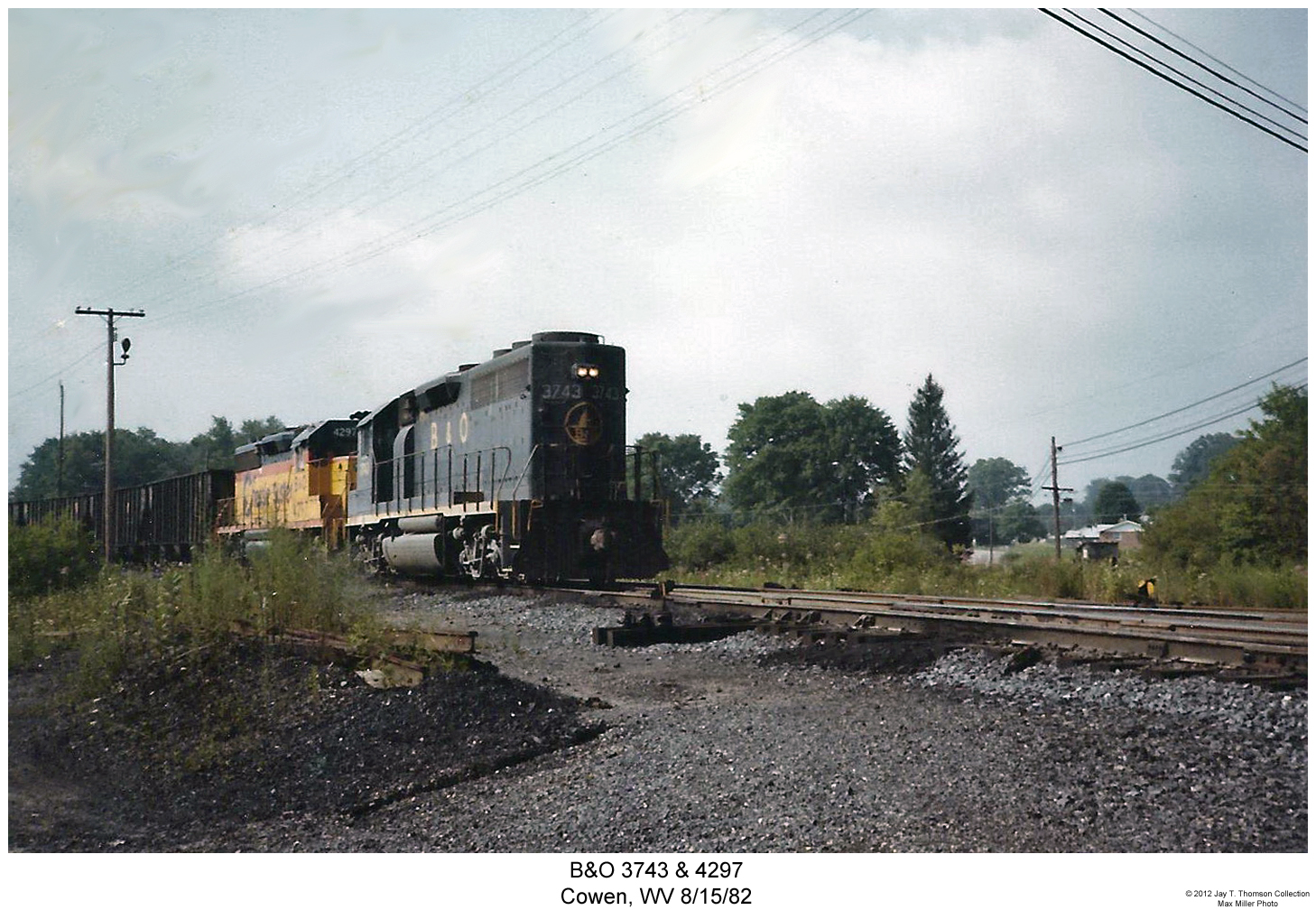
B&O 3743 & 4297

Bridge 346-01
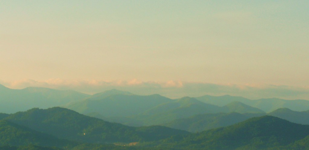
Sunrise in the Smokies
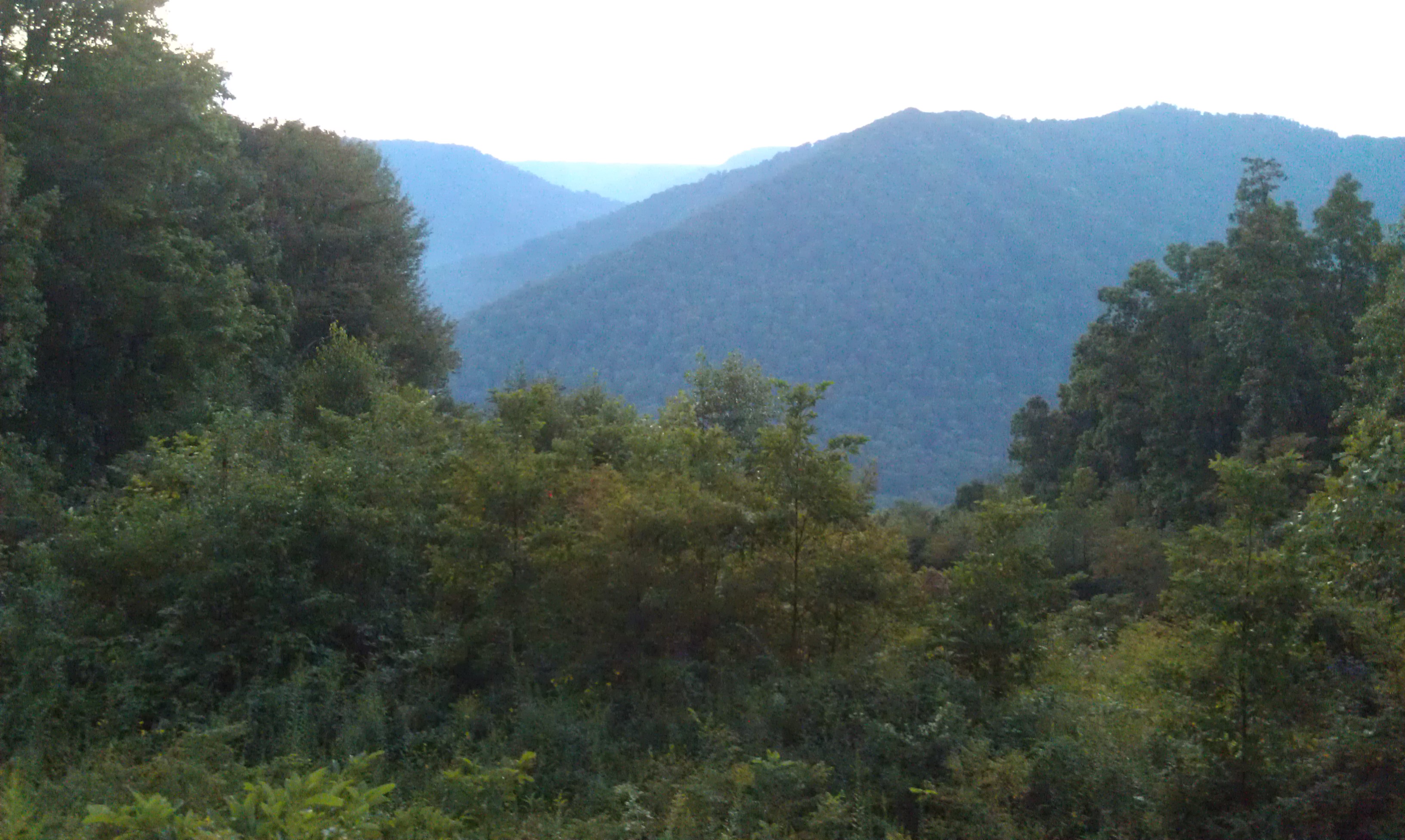
Monongahela National Forest 1
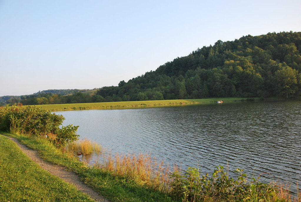
Big Ditch Lake

Webster Springs, WV

Bridge 349-01

Bridge 339-01

Big Ditch Lake

Bridge 342-03

Bridge 341-10

Bridge 349-08
Evening in Webster Springs, WV

Bridge 342-01

Bridge 347-03
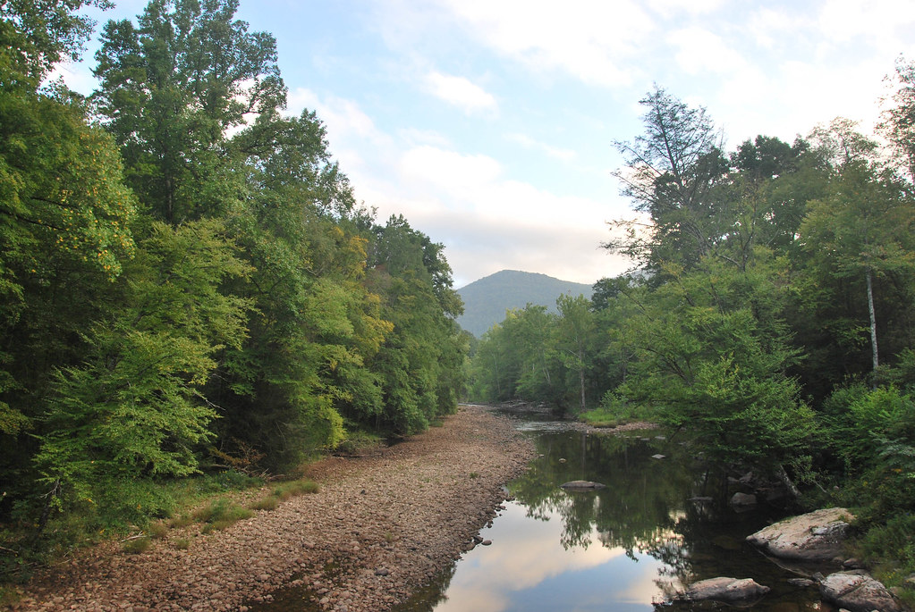
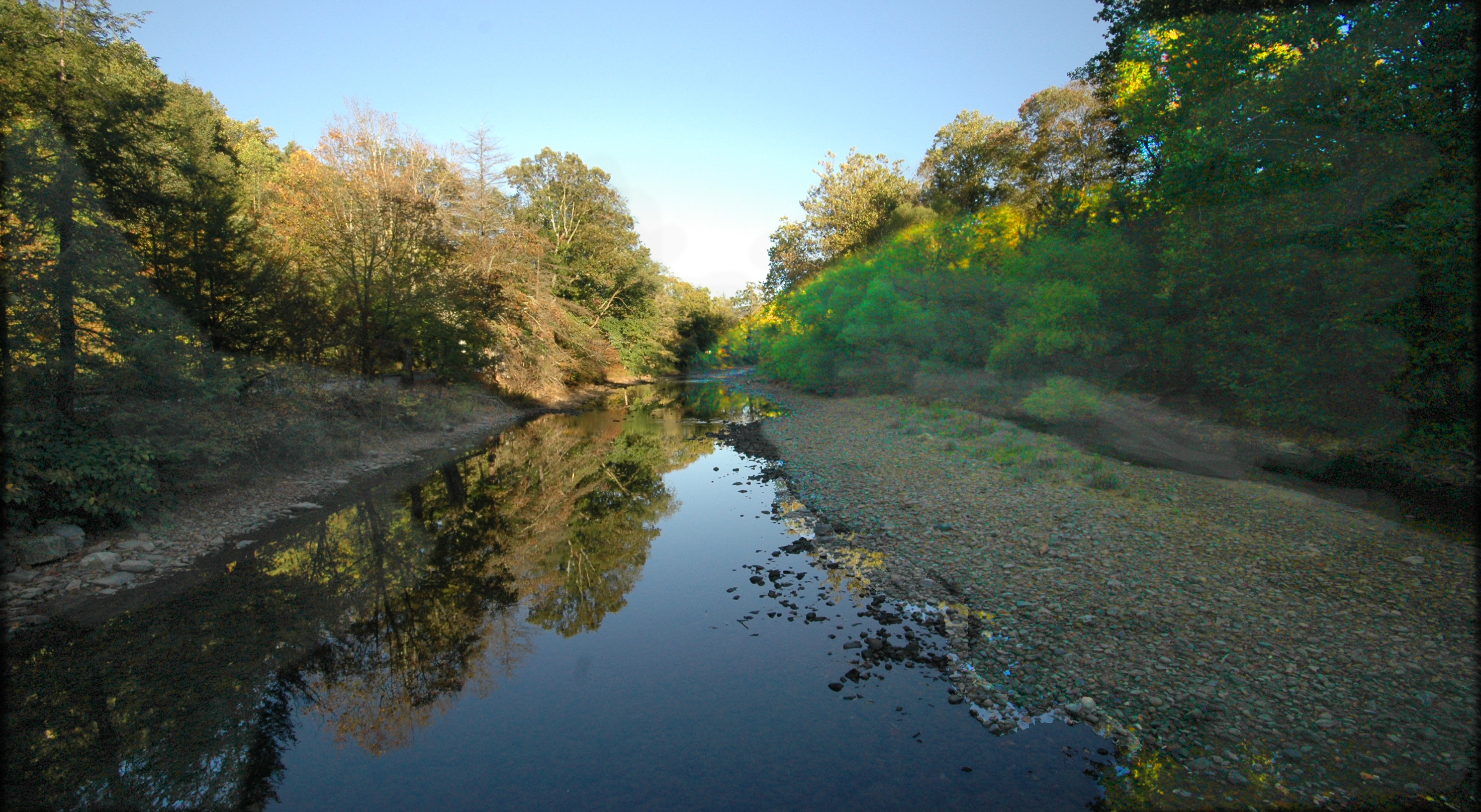
Williams River

Williams River
Topographic Map of Central, WV, USA
Find elevation by address:

Places in Central, WV, USA:
Places near Central, WV, USA:
1 Highlander Dr
Dorrtown
Webster Springs
1st Street
461 Co Rte 15/9
6698 Webster Rd
Cowen, WV, USA
Washington St, Webster Springs, WV, USA
Price Glade Run
Price Glade Run
Erbacon Rd, Erbacon, WV, USA
Cherry Falls Pottery
135 Park St
24 Fairhill Dr
Cowen
77 Dodrill Rd, Erbacon, WV, USA
800 John Goff Rd
Diana
800 John Goff Rd
Webster County
Recent Searches:
- Elevation of Corso Fratelli Cairoli, 35, Macerata MC, Italy
- Elevation of Tallevast Rd, Sarasota, FL, USA
- Elevation of 4th St E, Sonoma, CA, USA
- Elevation of Black Hollow Rd, Pennsdale, PA, USA
- Elevation of Oakland Ave, Williamsport, PA, USA
- Elevation of Pedrógão Grande, Portugal
- Elevation of Klee Dr, Martinsburg, WV, USA
- Elevation of Via Roma, Pieranica CR, Italy
- Elevation of Tavkvetili Mountain, Georgia
- Elevation of Hartfords Bluff Cir, Mt Pleasant, SC, USA