Elevation of Wayne County, IA, USA
Location: United States > Iowa >
Longitude: -93.3388917
Latitude: 40.6677356
Elevation: 332m / 1089feet
Barometric Pressure: 0KPa
Related Photos:

Wayne County, Iowa bandshell
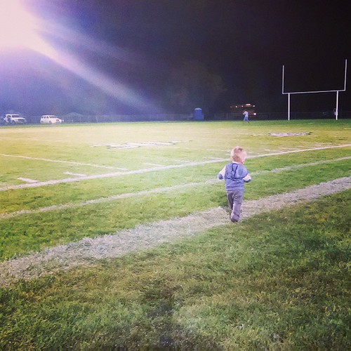
Friday Night Lights
IMG_12016.JPG
IMG_12018.JPG
IMG_12025.JPG
IMG_12012.JPG
IMG_12017.JPG
IMG_12024.JPG

IMG_12019.JPG
IMG_12011.JPG
Topographic Map of Wayne County, IA, USA
Find elevation by address:

Places in Wayne County, IA, USA:
Places near Wayne County, IA, USA:
Allerton
611 W Maple St
Warren
S Franklin St, Corydon, IA, USA
Corydon
500 N Dekalb St
Corydon
Walnut
W Wall St, Seymour, IA, USA
Seymour
Lincoln
Morgan Township
23873 160th Ave
Princeton
Grant St, Princeton, MO, USA
Mercer County
224 S College Ave
Mystic
W 1st St, Leon, IA, USA
Leon
Recent Searches:
- Elevation map of Greenland, Greenland
- Elevation of Sullivan Hill, New York, New York, 10002, USA
- Elevation of Morehead Road, Withrow Downs, Charlotte, Mecklenburg County, North Carolina, 28262, USA
- Elevation of 2800, Morehead Road, Withrow Downs, Charlotte, Mecklenburg County, North Carolina, 28262, USA
- Elevation of Yangbi Yi Autonomous County, Yunnan, China
- Elevation of Pingpo, Yangbi Yi Autonomous County, Yunnan, China
- Elevation of Mount Malong, Pingpo, Yangbi Yi Autonomous County, Yunnan, China
- Elevation map of Yongping County, Yunnan, China
- Elevation of North 8th Street, Palatka, Putnam County, Florida, 32177, USA
- Elevation of 107, Big Apple Road, East Palatka, Putnam County, Florida, 32131, USA
- Elevation of Jiezi, Chongzhou City, Sichuan, China
- Elevation of Chongzhou City, Sichuan, China
- Elevation of Huaiyuan, Chongzhou City, Sichuan, China
- Elevation of Qingxia, Chengdu, Sichuan, China
- Elevation of Corso Fratelli Cairoli, 35, Macerata MC, Italy
- Elevation of Tallevast Rd, Sarasota, FL, USA
- Elevation of 4th St E, Sonoma, CA, USA
- Elevation of Black Hollow Rd, Pennsdale, PA, USA
- Elevation of Oakland Ave, Williamsport, PA, USA
- Elevation of Pedrógão Grande, Portugal