Elevation of Mercer County, MO, USA
Location: United States > Missouri >
Longitude: -93.662323
Latitude: 40.4955493
Elevation: 282m / 925feet
Barometric Pressure: 98KPa
Elevation Map:
Satellite Map:
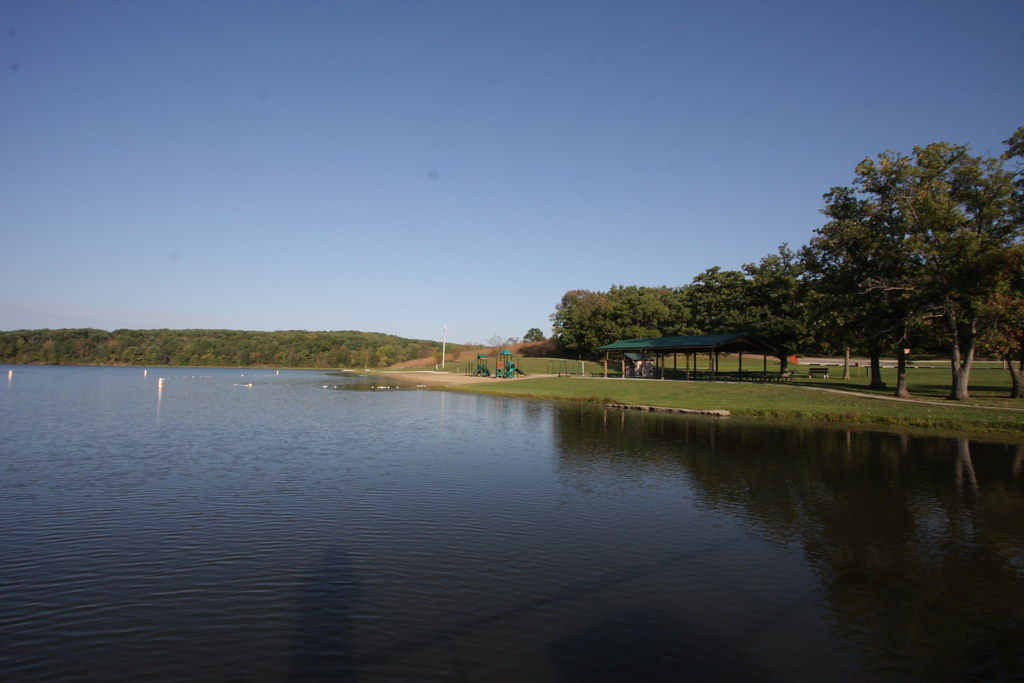
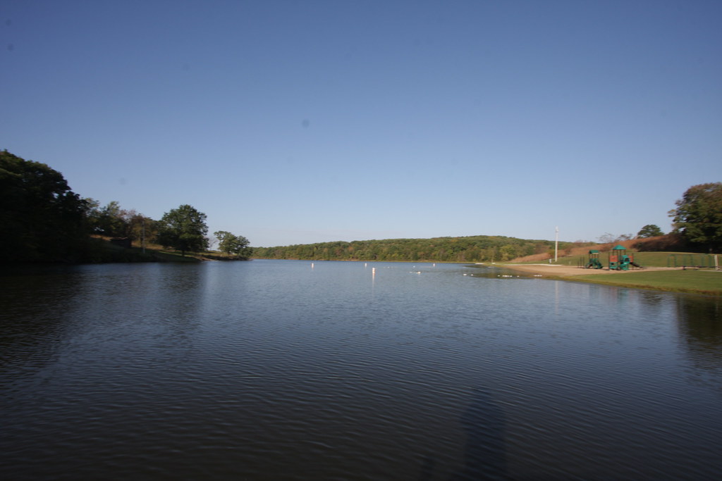
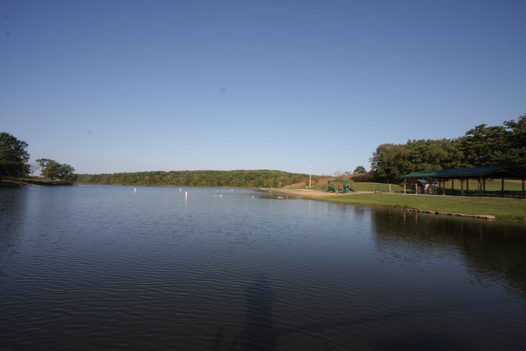
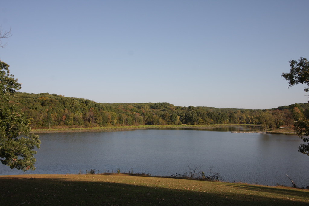
Related Photos:
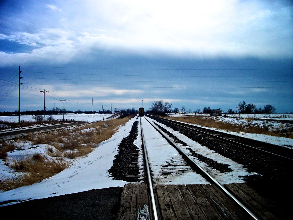
Track View
IMG_11937.JPG
IMG_11933.JPG

IMG_11934.JPG
IMG_11939.JPG
IMG_11930.JPG
IMG_11932.JPG
IMG_11931.JPG
IMG_11921.JPG
IMG_11918.JPG
IMG_11942.JPG
IMG_11929.JPG
Topographic Map of Mercer County, MO, USA
Find elevation by address:

Places in Mercer County, MO, USA:
Places near Mercer County, MO, USA:
Morgan Township
Grant St, Princeton, MO, USA
Princeton
224 S College Ave
W 1st St, Leon, IA, USA
Leon
Spickard
Pine St, Spickard, MO, USA
27440 State Hwy A
Marion Township
Franklin Township
Warren
611 W Maple St
Grundy County
Allerton
Wayne County
Harrison County
21516 W 250th Pl
21516 W 250th Pl
Liberty Township
Recent Searches:
- Elevation of Corso Fratelli Cairoli, 35, Macerata MC, Italy
- Elevation of Tallevast Rd, Sarasota, FL, USA
- Elevation of 4th St E, Sonoma, CA, USA
- Elevation of Black Hollow Rd, Pennsdale, PA, USA
- Elevation of Oakland Ave, Williamsport, PA, USA
- Elevation of Pedrógão Grande, Portugal
- Elevation of Klee Dr, Martinsburg, WV, USA
- Elevation of Via Roma, Pieranica CR, Italy
- Elevation of Tavkvetili Mountain, Georgia
- Elevation of Hartfords Bluff Cir, Mt Pleasant, SC, USA