Elevation of Allerton, IA, USA
Location: United States > Iowa > Wayne County > Warren >
Longitude: -93.365383
Latitude: 40.7063539
Elevation: 335m / 1099feet
Barometric Pressure: 97KPa
Elevation Map:
Satellite Map:
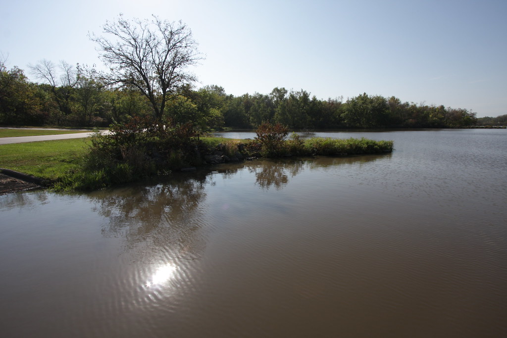
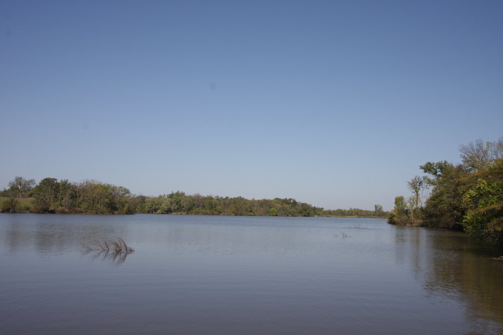
Related Photos:

Wayne County, Iowa bandshell

Friday Night Lights
IMG_12018.JPG

IMG_12016.JPG

IMG_12024.JPG
IMG_12012.JPG

IMG_12025.JPG

IMG_12017.JPG

IMG_12011.JPG

IMG_12019.JPG
Topographic Map of Allerton, IA, USA
Find elevation by address:

Places near Allerton, IA, USA:
611 W Maple St
Warren
Wayne County
S Franklin St, Corydon, IA, USA
Corydon
500 N Dekalb St
Corydon
Walnut
W Wall St, Seymour, IA, USA
Seymour
Lincoln
Morgan Township
Mercer County
Princeton
Grant St, Princeton, MO, USA
224 S College Ave
23873 160th Ave
W 1st St, Leon, IA, USA
Leon
Mystic
Recent Searches:
- Elevation of Corso Fratelli Cairoli, 35, Macerata MC, Italy
- Elevation of Tallevast Rd, Sarasota, FL, USA
- Elevation of 4th St E, Sonoma, CA, USA
- Elevation of Black Hollow Rd, Pennsdale, PA, USA
- Elevation of Oakland Ave, Williamsport, PA, USA
- Elevation of Pedrógão Grande, Portugal
- Elevation of Klee Dr, Martinsburg, WV, USA
- Elevation of Via Roma, Pieranica CR, Italy
- Elevation of Tavkvetili Mountain, Georgia
- Elevation of Hartfords Bluff Cir, Mt Pleasant, SC, USA