Elevation of Corydon, IA, USA
Location: United States > Iowa > Wayne County >
Longitude: -93.2784825
Latitude: 40.7707418
Elevation: 331m / 1086feet
Barometric Pressure: 0KPa
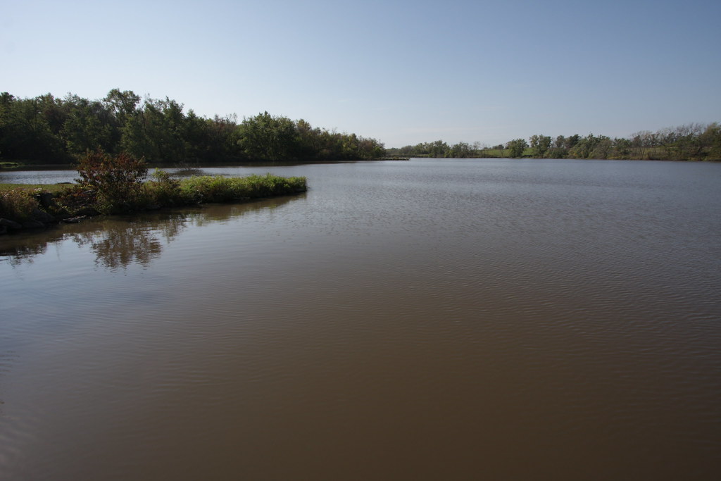
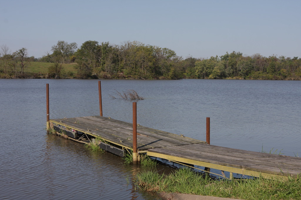
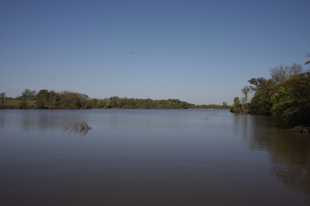
Related Photos:

Wayne County, Iowa bandshell
IMG_12016.JPG
IMG_12018.JPG
IMG_12025.JPG
IMG_12012.JPG
IMG_12017.JPG

Friday Night Lights
IMG_12024.JPG

IMG_12019.JPG
IMG_12011.JPG
Topographic Map of Corydon, IA, USA
Find elevation by address:

Places in Corydon, IA, USA:
Places near Corydon, IA, USA:
Corydon
S Franklin St, Corydon, IA, USA
500 N Dekalb St
Allerton
611 W Maple St
Wayne County
Walnut
Warren
W Wall St, Seymour, IA, USA
Seymour
Lincoln
23873 160th Ave
Mystic
N 13th St, Centerville, IA, USA
Centerville
Westbridge Inn & Suites
Appanoose County
20678 240th Ave
Morgan Township
W 1st St, Leon, IA, USA
Recent Searches:
- Elevation of 8, Rue de Bécancour, Blainville, Thérèse-De Blainville, Quebec, J7B1N2, Canada
- Elevation of Wilmot Court North, 163, University Avenue West, Northdale, Waterloo, Region of Waterloo, Ontario, N2L6B6, Canada
- Elevation map of Panamá Province, Panama
- Elevation of Balboa, Panamá Province, Panama
- Elevation of San Miguel, Balboa, Panamá Province, Panama
- Elevation of Isla Gibraleón, San Miguel, Balboa, Panamá Province, Panama
- Elevation of 4655, Krischke Road, Schulenburg, Fayette County, Texas, 78956, USA
- Elevation of Carnegie Avenue, Downtown Cleveland, Cleveland, Cuyahoga County, Ohio, 44115, USA
- Elevation of Walhonding, Coshocton County, Ohio, USA
- Elevation of Clifton Down, Clifton, Bristol, City of Bristol, England, BS8 3HU, United Kingdom
- Elevation map of Auvergne-Rhône-Alpes, France
- Elevation map of Upper Savoy, Auvergne-Rhône-Alpes, France
- Elevation of Chamonix-Mont-Blanc, Upper Savoy, Auvergne-Rhône-Alpes, France
- Elevation of 908, Northwood Drive, Bridge Field, Chesapeake, Virginia, 23322, USA
- Elevation map of Nagano Prefecture, Japan
- Elevation of 587, Bascule Drive, Oakdale, Stanislaus County, California, 95361, USA
- Elevation of Stadion Wankdorf, Sempachstrasse, Breitfeld, Bern, Bern-Mittelland administrative district, Bern, 3014, Switzerland
- Elevation of Z024, 76, Emil-von-Behring-Straße, Marbach, Marburg, Landkreis Marburg-Biedenkopf, Hesse, 35041, Germany
- Elevation of Gaskill Road, Hunts Cross, Liverpool, England, L24 9PH, United Kingdom
- Elevation of Speke, Liverpool, England, L24 9HD, United Kingdom