Elevation of Watson Mountain, Colorado, USA
Location: United States > Colorado > Cowdrey >
Longitude: -106.33419
Latitude: 40.9191406
Elevation: 2601m / 8533feet
Barometric Pressure: 74KPa
Elevation Map:
Satellite Map:
Related Photos:

Roadside view

The road to myself

Rest stop

On a Wyoming afternoon

Under a big sky
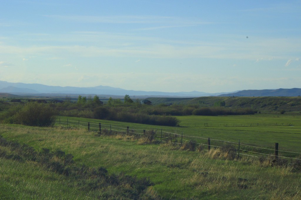
Wyoming ranchland
Topographic Map of Watson Mountain, Colorado, USA
Find elevation by address:

Places near Watson Mountain, Colorado, USA:
Cowdrey
Sentinel Mountain
Parsons Draw Road
Pinkham Mountain
3416 Co-127
3416 Co-127
Elkhorn Point
Wyocolo
4039 Wy-230
Platte Ridge
Somber Hill
Douglas Creek Campground
Foxpark
Big Creek Lakes Campground
Lake Mountain
Muddy Mountain
Spruce Mountain
Spruce Mtn Fire Lookout Tower (recgovnpsdata)
Red Elephant Mountain
Bear Mountain
Recent Searches:
- Elevation of Corso Fratelli Cairoli, 35, Macerata MC, Italy
- Elevation of Tallevast Rd, Sarasota, FL, USA
- Elevation of 4th St E, Sonoma, CA, USA
- Elevation of Black Hollow Rd, Pennsdale, PA, USA
- Elevation of Oakland Ave, Williamsport, PA, USA
- Elevation of Pedrógão Grande, Portugal
- Elevation of Klee Dr, Martinsburg, WV, USA
- Elevation of Via Roma, Pieranica CR, Italy
- Elevation of Tavkvetili Mountain, Georgia
- Elevation of Hartfords Bluff Cir, Mt Pleasant, SC, USA