Elevation of Red Elephant Mountain, Colorado, USA
Location: United States > Colorado > Walden >
Longitude: -106.64864
Latitude: 40.882194
Elevation: 3490m / 11450feet
Barometric Pressure: 66KPa
Elevation Map:
Satellite Map:
Related Photos:

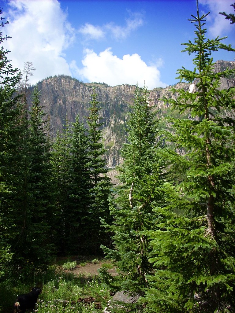
Can't See the Universe for the Trees
Lake Katherine
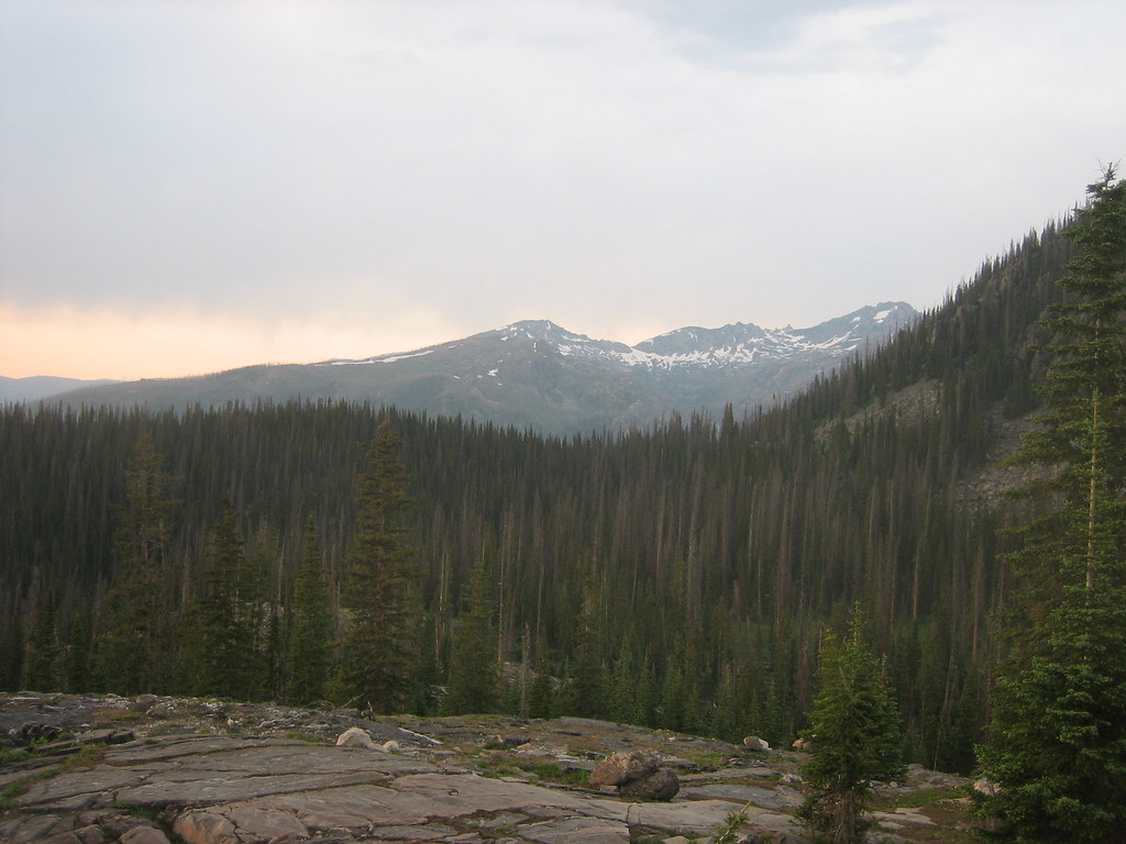
2008-07-11_15_view_into_the_zirkel_front_range
Topographic Map of Red Elephant Mountain, Colorado, USA
Find elevation by address:

Places near Red Elephant Mountain, Colorado, USA:
Davis Peak
Big Agnes Mountain
Big Creek Lakes Campground
Buffalo Ridge
Blackhall Mountain
Bear Mountain
Wood Mountain
Hog Park Campground
Parsons Draw Road
Elkhorn Point
Watson Mountain
Cowdrey
Platte Ridge
East 4th Street, Encampment, WY, USA
Encampment
110 Fields Ave
Riverside
107 Riverside Ave
Bennett Peak
Sentinel Mountain
Recent Searches:
- Elevation of Corso Fratelli Cairoli, 35, Macerata MC, Italy
- Elevation of Tallevast Rd, Sarasota, FL, USA
- Elevation of 4th St E, Sonoma, CA, USA
- Elevation of Black Hollow Rd, Pennsdale, PA, USA
- Elevation of Oakland Ave, Williamsport, PA, USA
- Elevation of Pedrógão Grande, Portugal
- Elevation of Klee Dr, Martinsburg, WV, USA
- Elevation of Via Roma, Pieranica CR, Italy
- Elevation of Tavkvetili Mountain, Georgia
- Elevation of Hartfords Bluff Cir, Mt Pleasant, SC, USA