Elevation of Douglas Creek Campground, Laramie, WY, United States
Location: United States > Wyoming > Albany County > Laramie >
Longitude: -106.25307
Latitude: 41.1341399
Elevation: 2615m / 8579feet
Barometric Pressure: 74KPa
Elevation Map:
Satellite Map:
Related Photos:

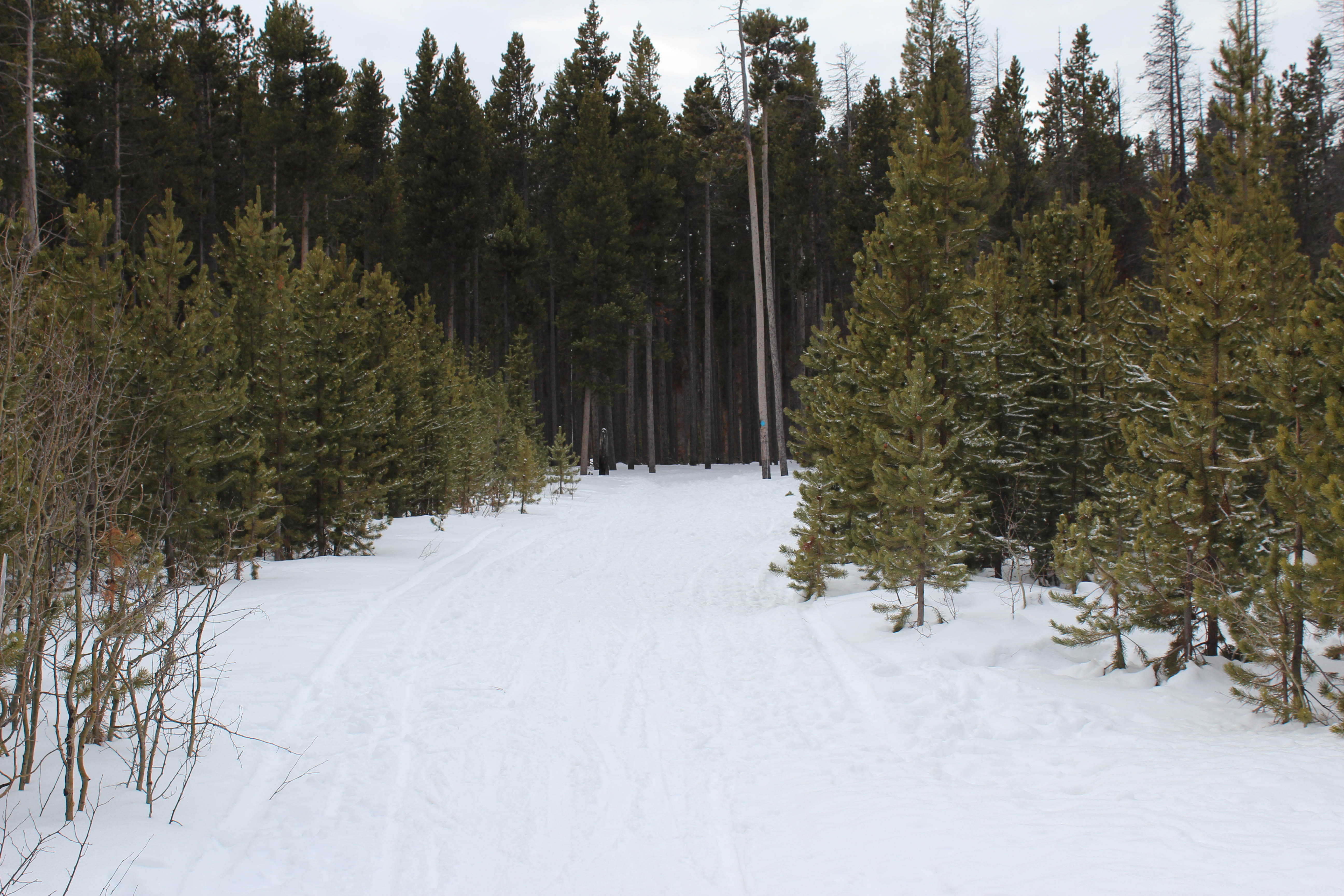
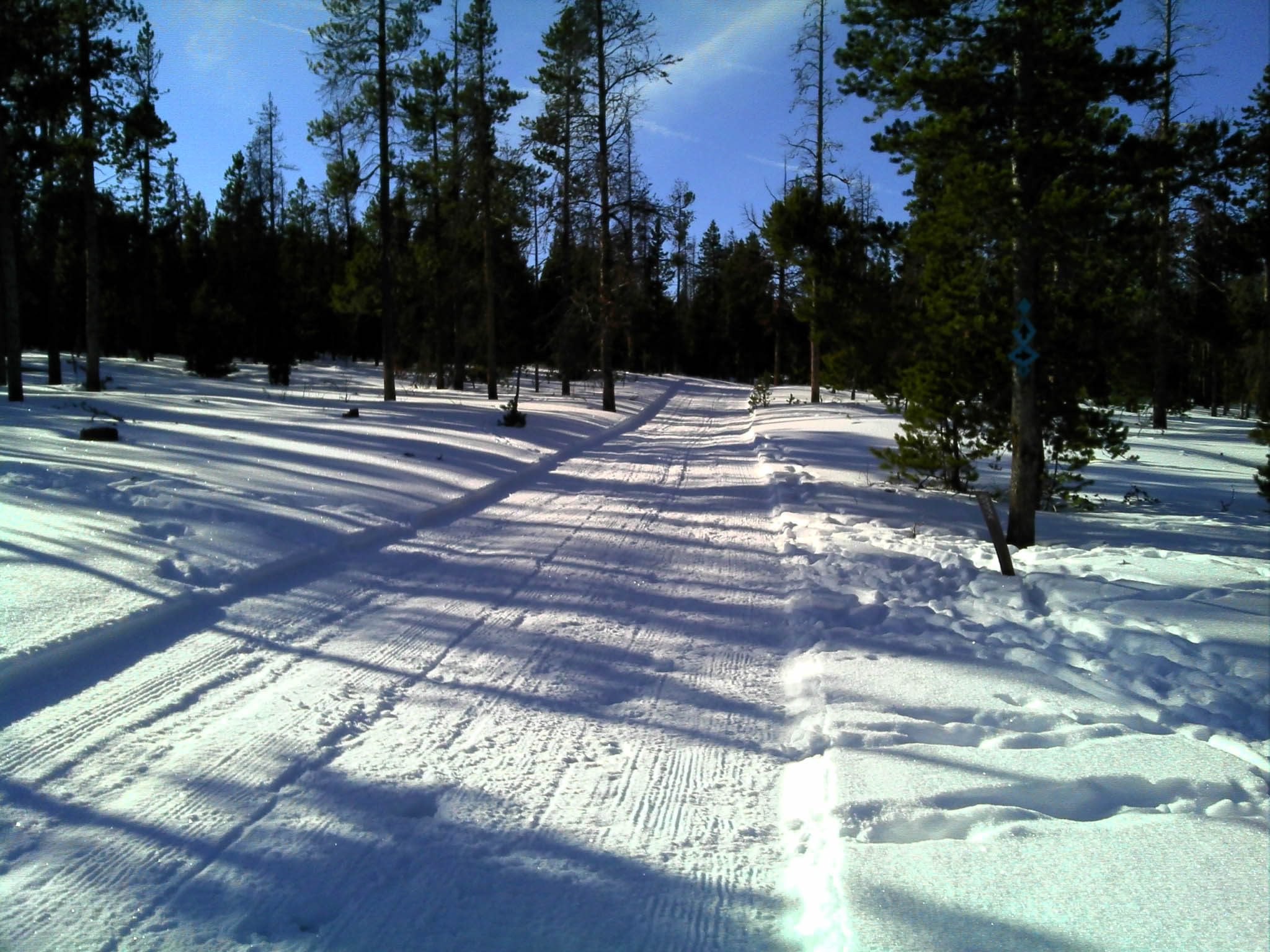
Groomed
DSC_3249.JPG
1406 Almost back to the Six Mile Gap Campground
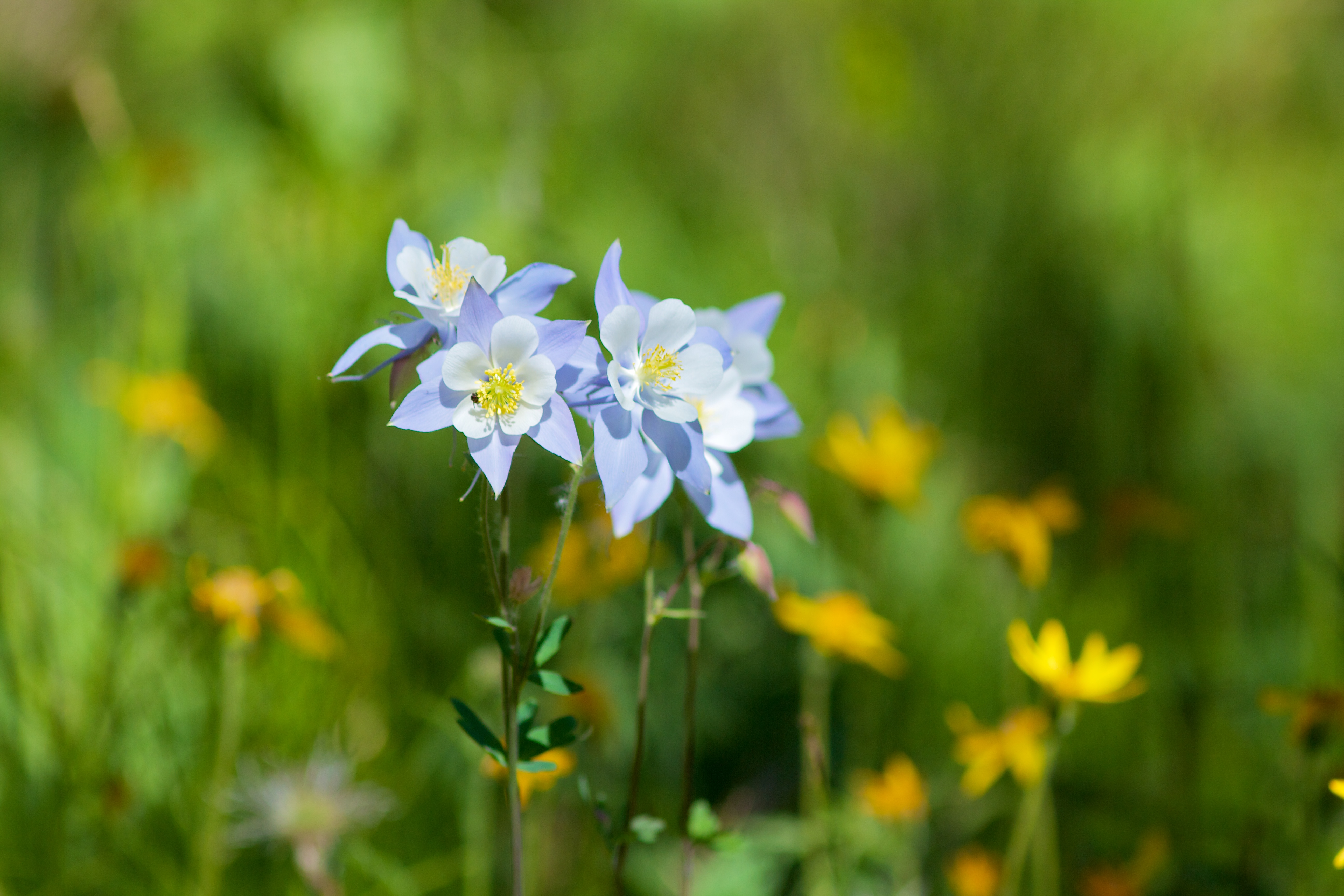
Rocky Mountain Columbine in Medicine Bow Nat. Forest
DSC_3252.JPG
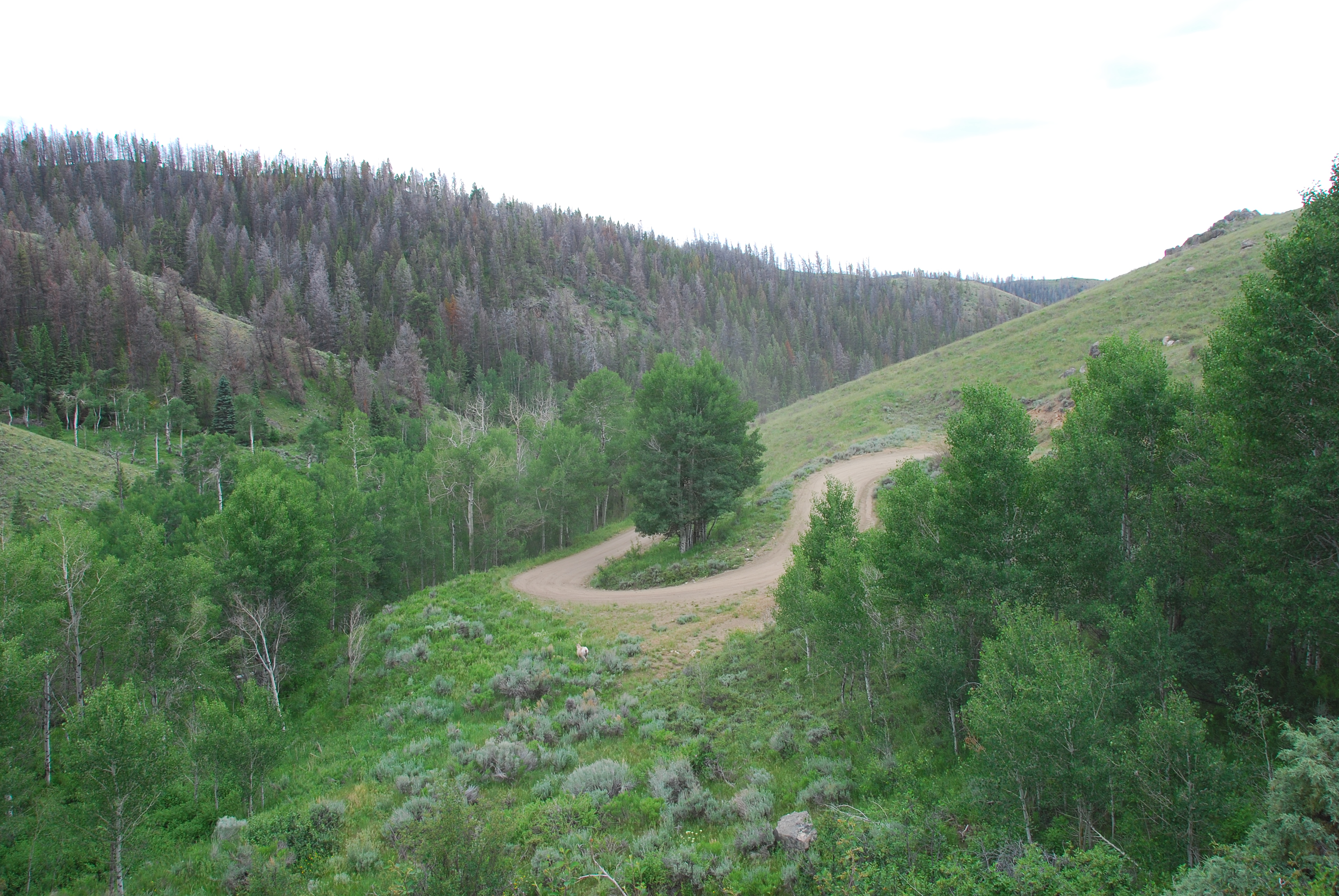
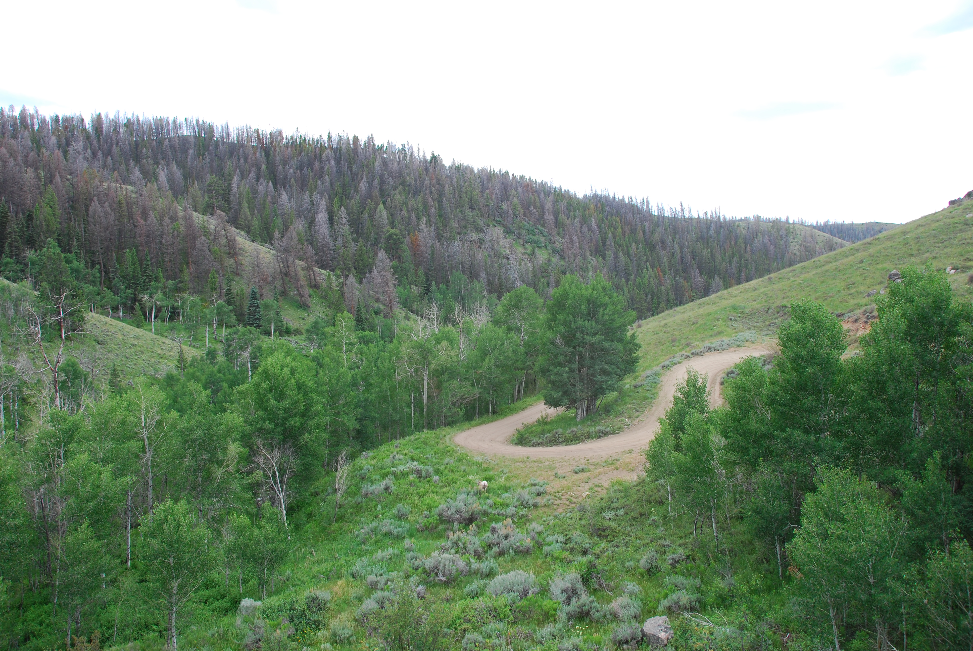
pine beetle territory
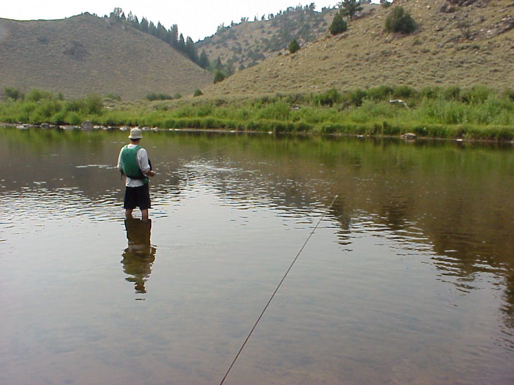
Blue Ribbon Fishing (w/out fish) - Northgate Canyon, Colorado

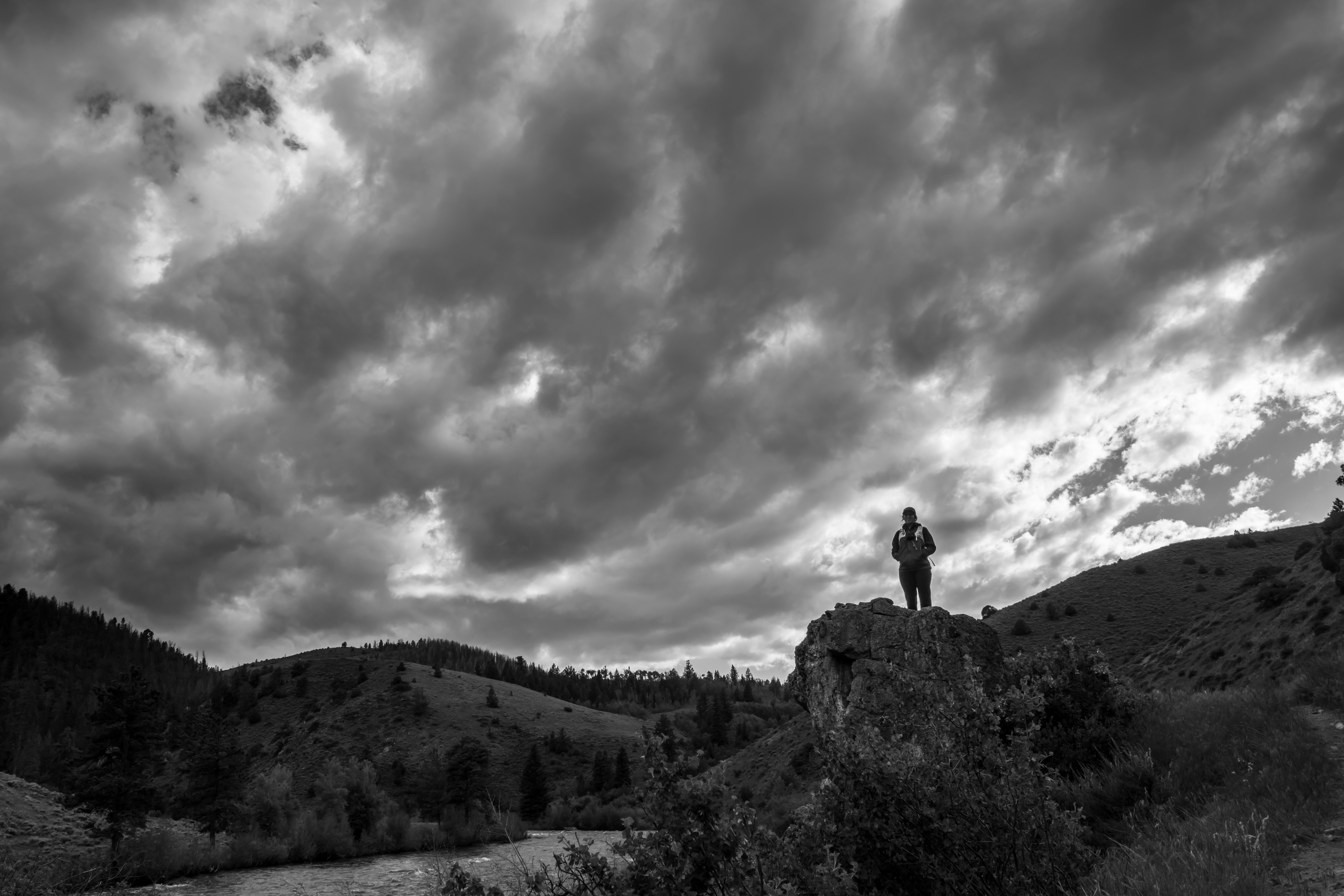
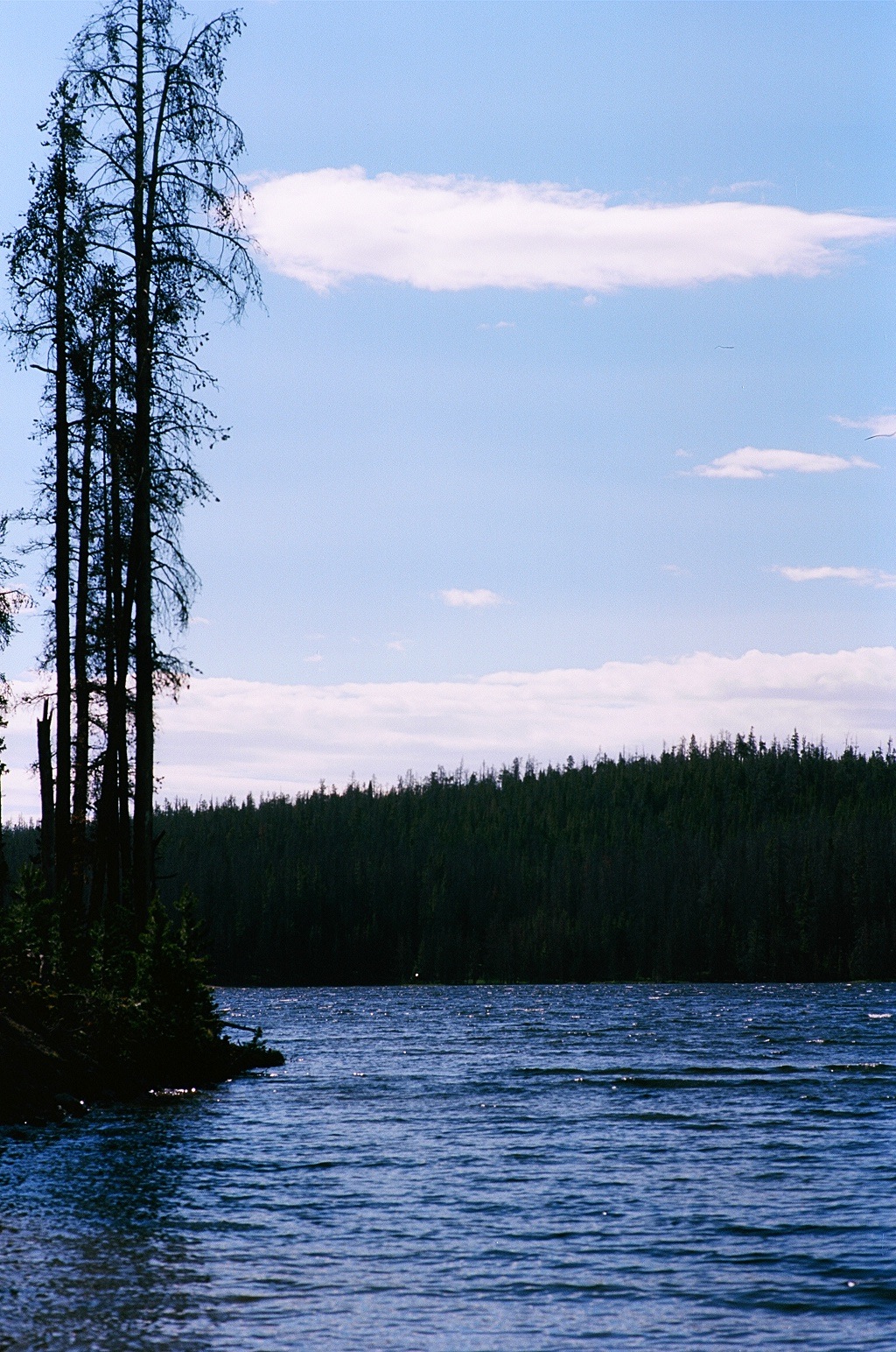
Wyoming Landscape
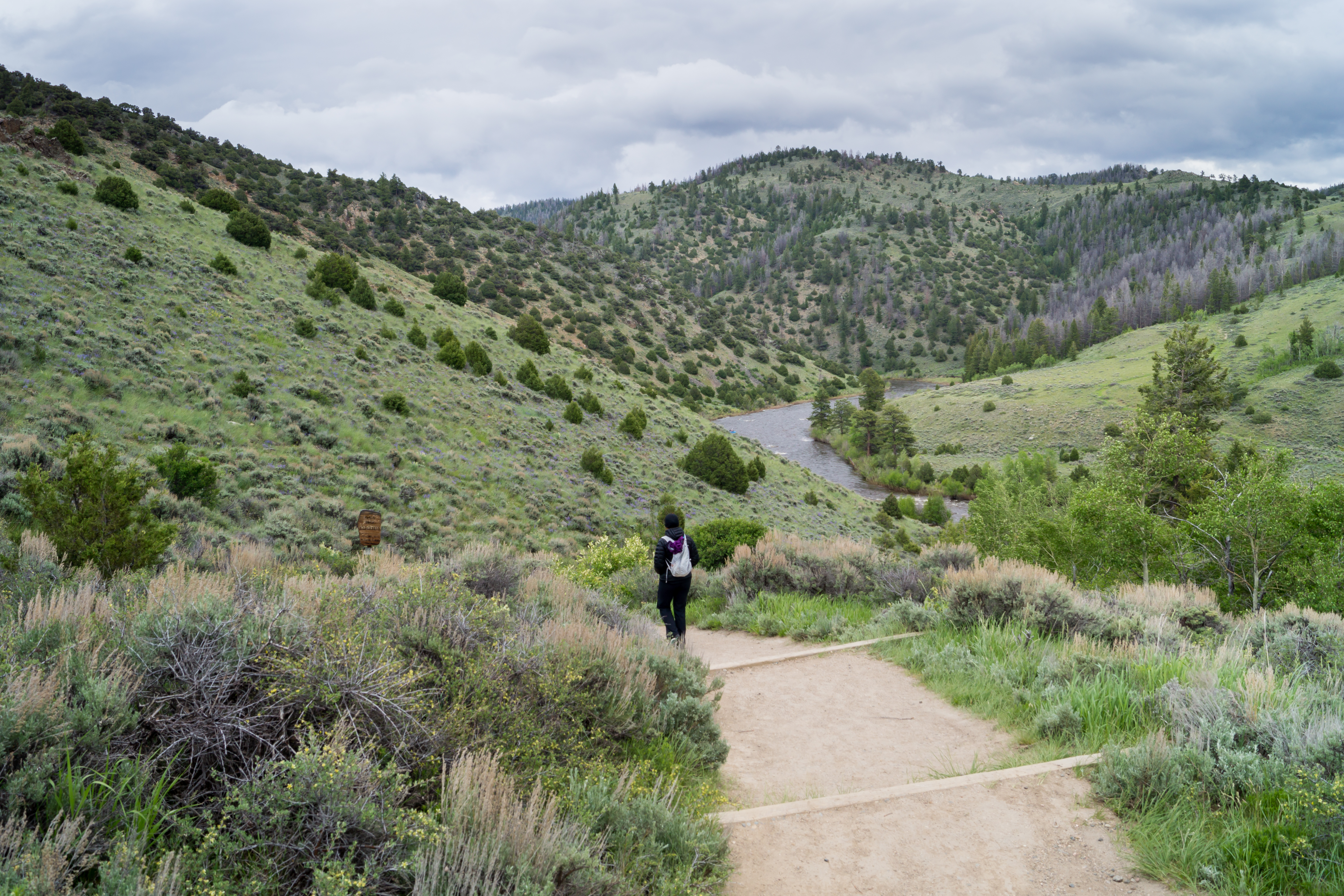
1406 Leaving Six Mile Gap Campground
Actual Whitewater IV - Northgate Canyon, Colorado
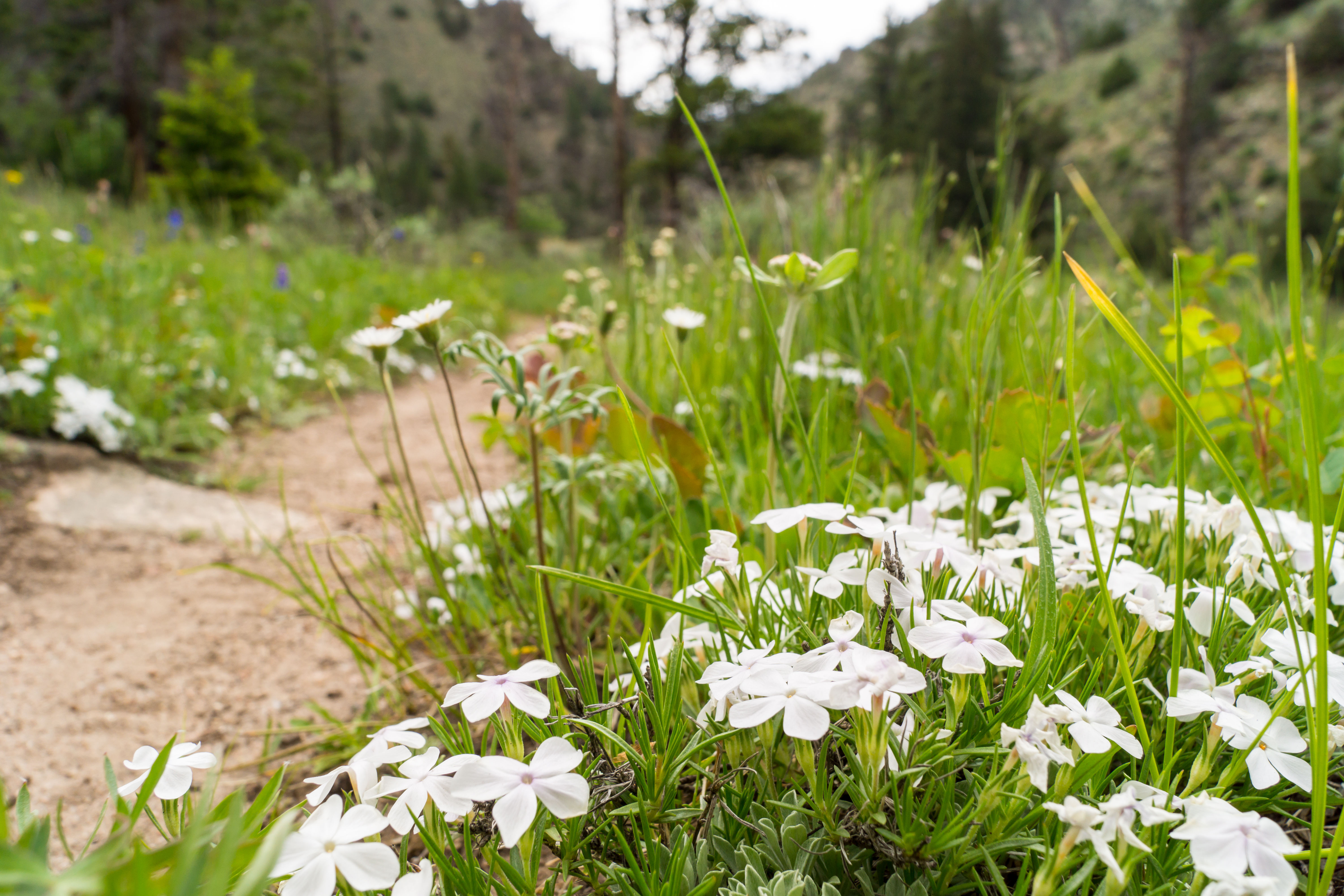
1406 Flowers along the Platte River Trail
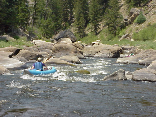
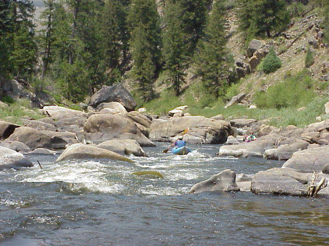
Actual Whitewater II - Northgate Canyon, Colorado

Actual Whitewater III - Northgate Canyon, Colorado
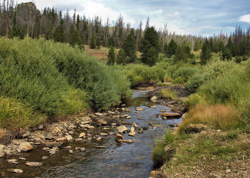
Lake Creek
Chimney Park.jpg
Chimney Park-10.jpg
Topographic Map of Douglas Creek Campground, Laramie, WY, United States
Find elevation by address:

Places near Douglas Creek Campground, Laramie, WY, United States:
Spruce Mountain
Spruce Mtn Fire Lookout Tower (recgovnpsdata)
Somber Hill
Muddy Mountain
Lake Mountain
Foxpark
Albany
1148 Wy-11
7 Forest Rd 540
1148 Wy-11
Platte Ridge
4039 Wy-230
Wyocolo
Centennial Ridge
Elkhorn Point
Libby Flats
Pinkham Mountain
2758 Wy-130
Centennial
Mountain View Historic Hotel & Cafe
Recent Searches:
- Elevation of Corso Fratelli Cairoli, 35, Macerata MC, Italy
- Elevation of Tallevast Rd, Sarasota, FL, USA
- Elevation of 4th St E, Sonoma, CA, USA
- Elevation of Black Hollow Rd, Pennsdale, PA, USA
- Elevation of Oakland Ave, Williamsport, PA, USA
- Elevation of Pedrógão Grande, Portugal
- Elevation of Klee Dr, Martinsburg, WV, USA
- Elevation of Via Roma, Pieranica CR, Italy
- Elevation of Tavkvetili Mountain, Georgia
- Elevation of Hartfords Bluff Cir, Mt Pleasant, SC, USA