Elevation of Waterville, WA, USA
Location: United States > Washington > Douglas County >
Longitude: -120.07117
Latitude: 47.6470761
Elevation: 800m / 2625feet
Barometric Pressure: 92KPa
Elevation Map:
Satellite Map:
Related Photos:

Looking south at Supplee, Washington

Alstown, WA

Alstown, WA

Alstown, WA

Alstown, WA

Alstown, WA

Alstown, WA
Best viewed live!
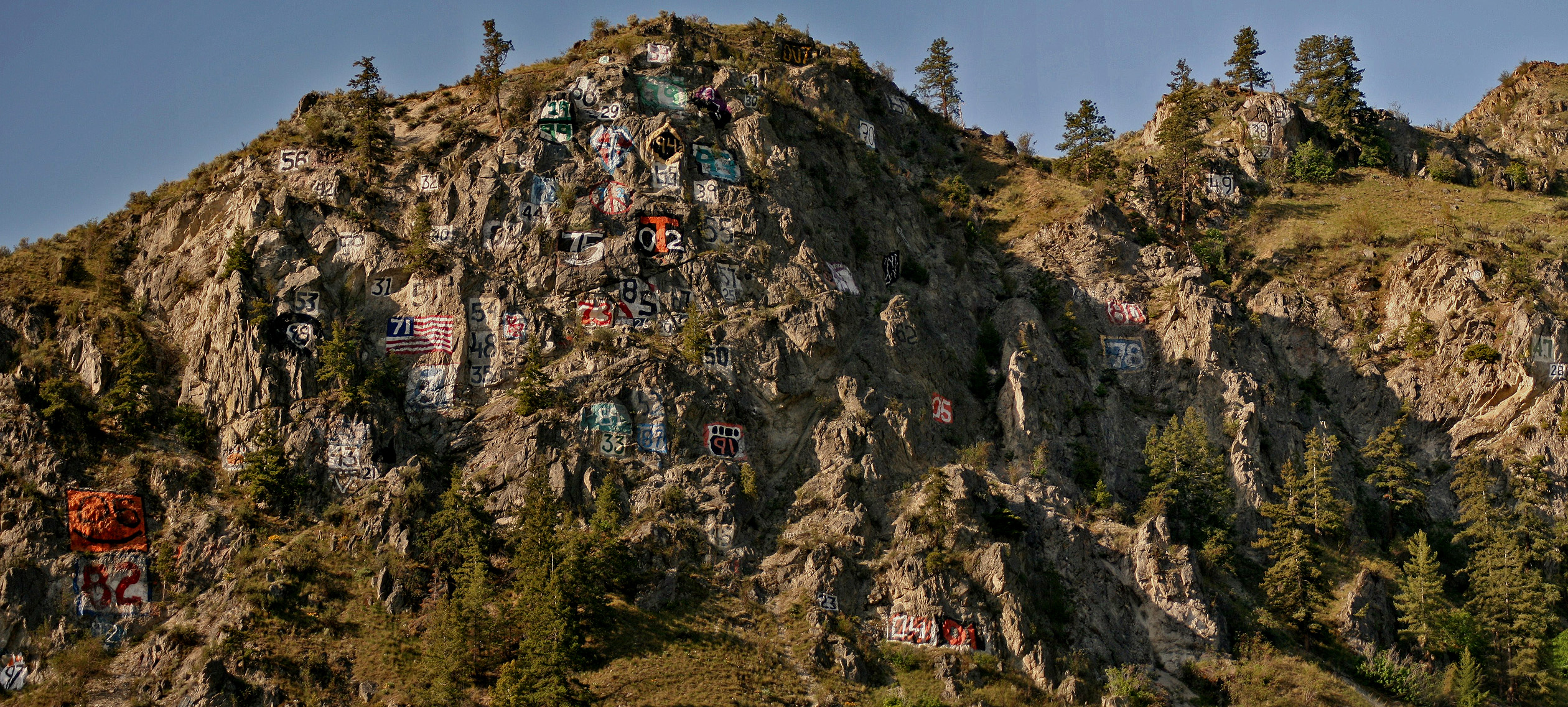
Numeral Mountain

Looking north at Supplee, Washington
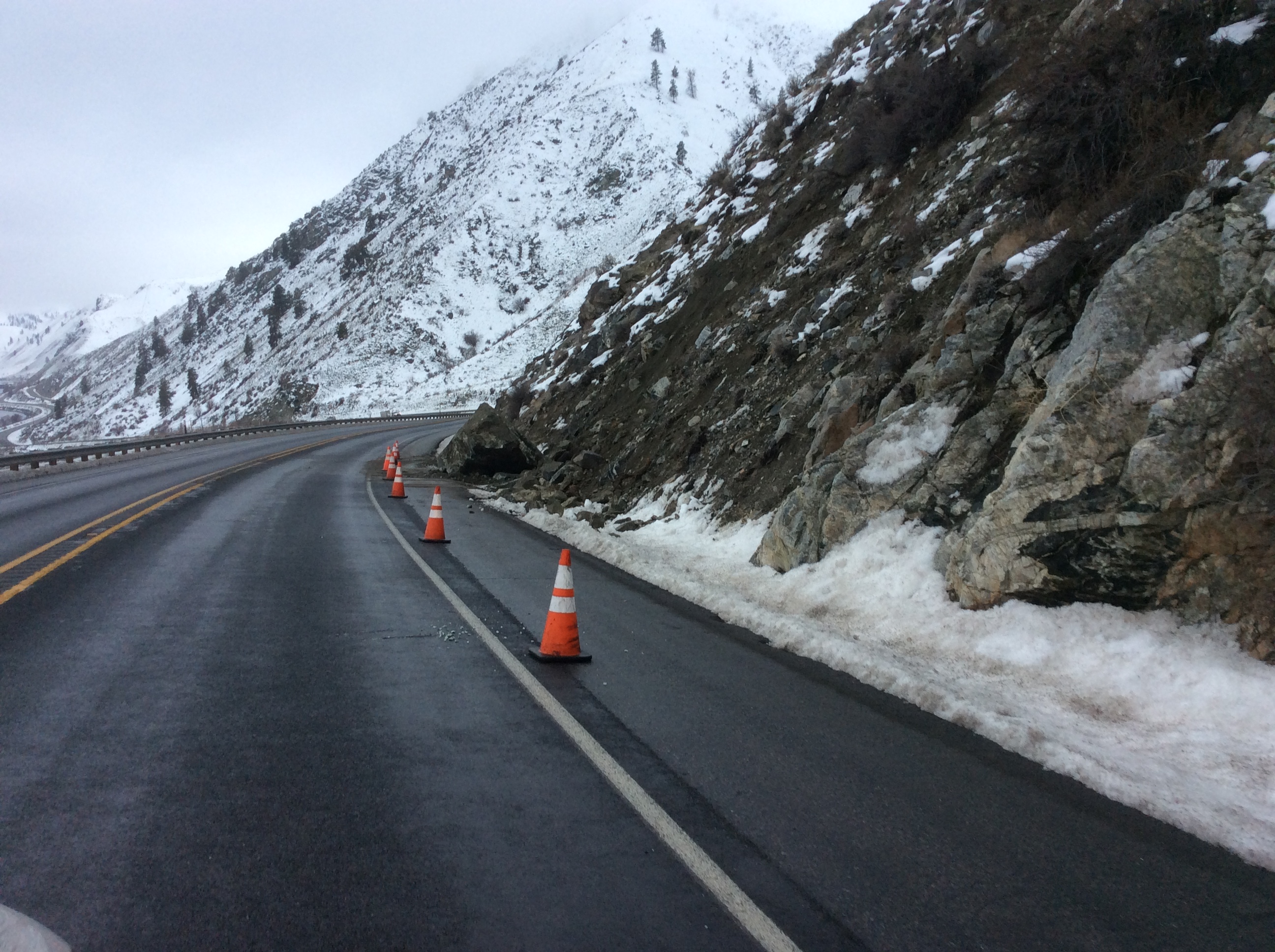
US 97A - Knapps C
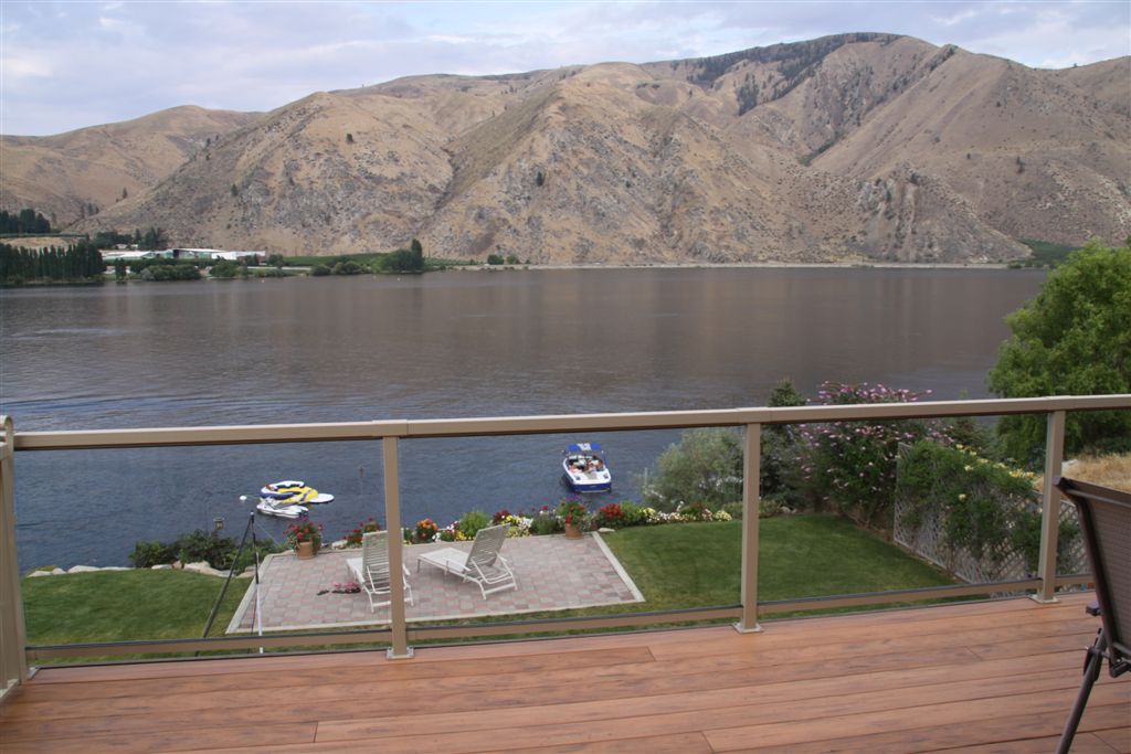
View from Veranda
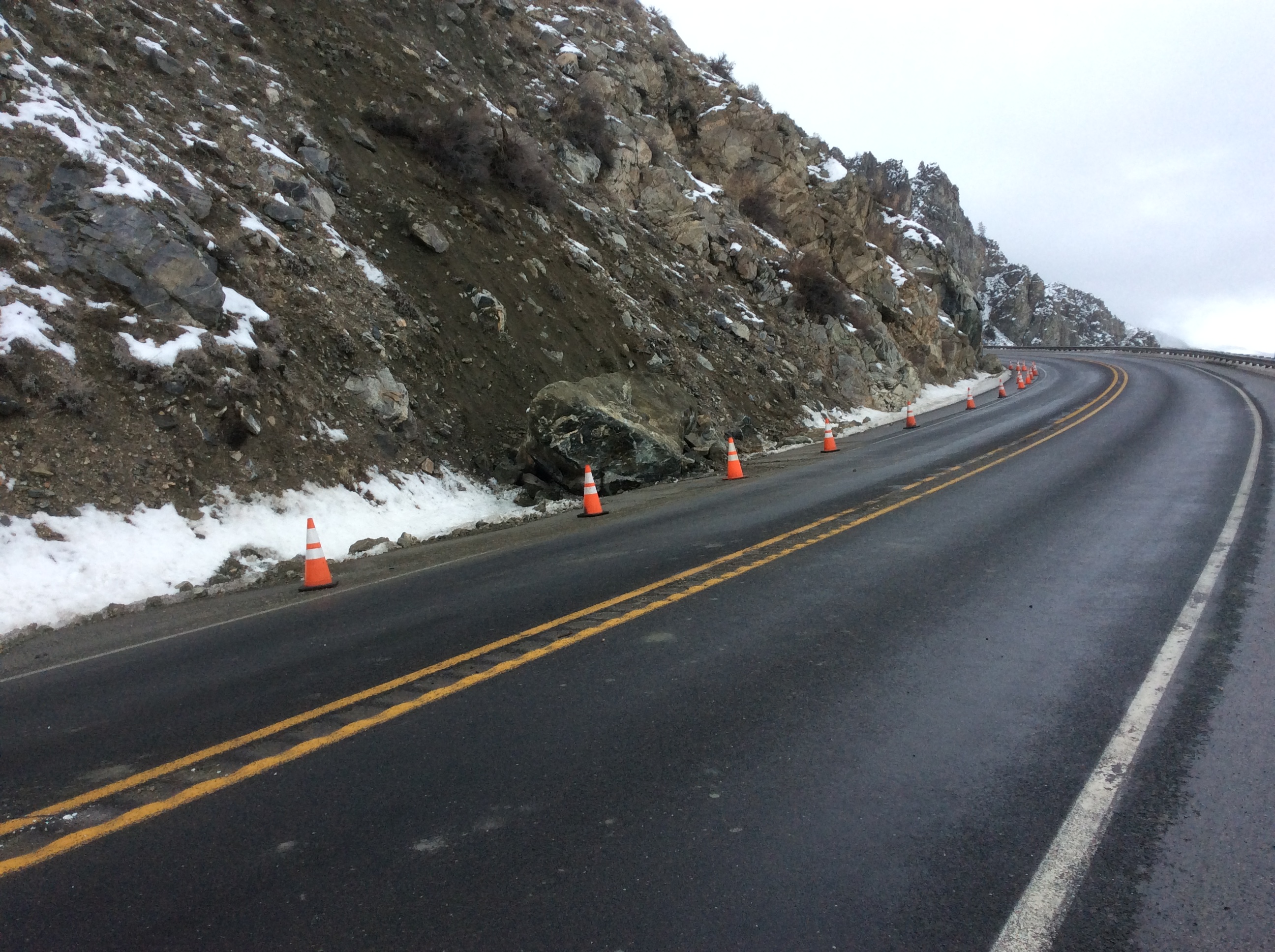
US 97A - Knapps B
Morning calm behind Rocky Reach
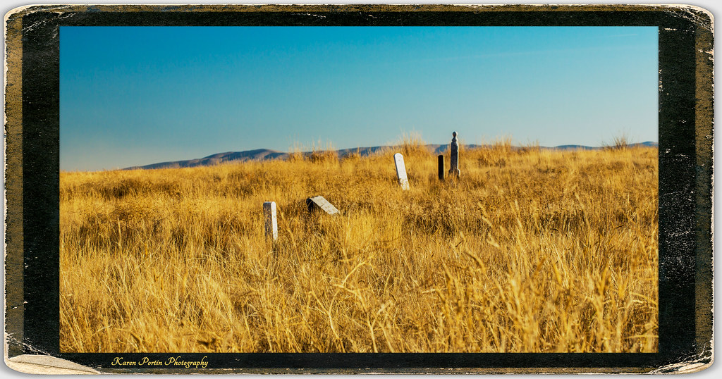
The Forgotten
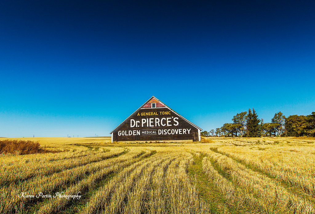
Dr. Pierce's Golden Medical Discovery
Abandoned Farm on a Hill - Douglas County, WA (May 2013)

20150727 70D Yellowstone Glacier 153
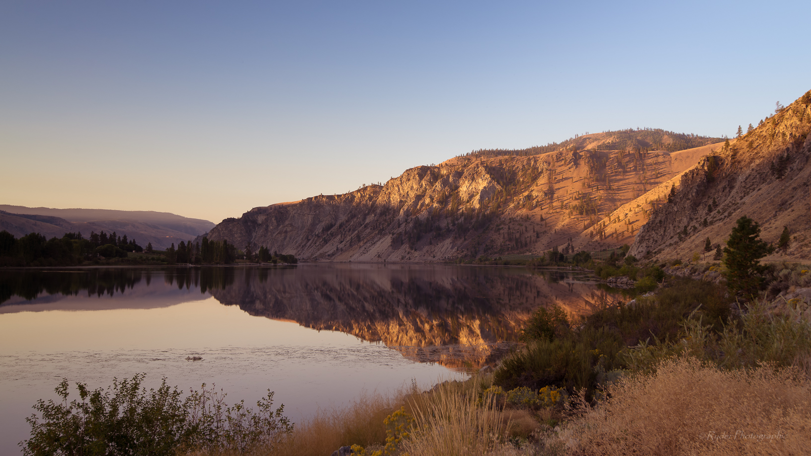
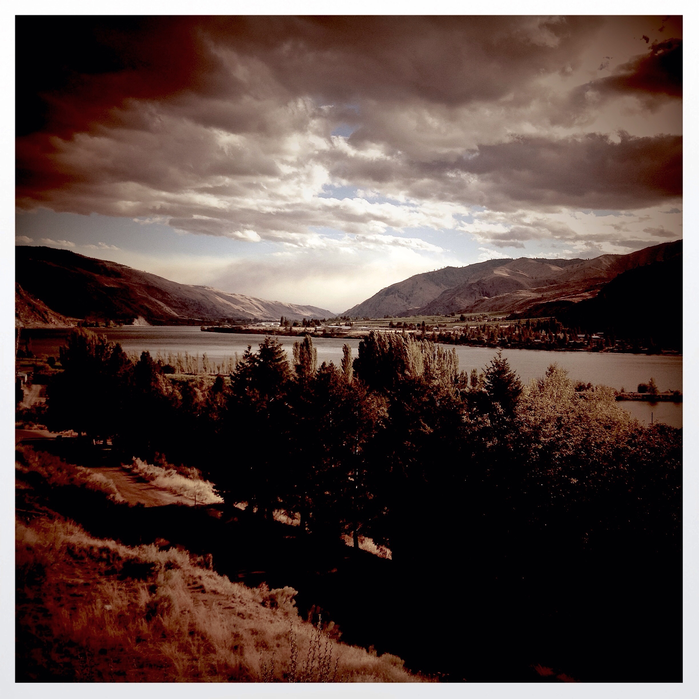
Columbia River

For Your Kidneys, Dr. Pierce's Anuric
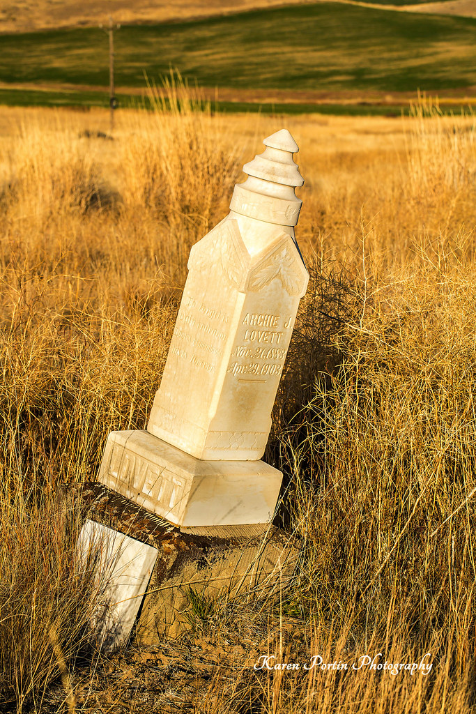
Archie J Lovett, died 4-23-1903
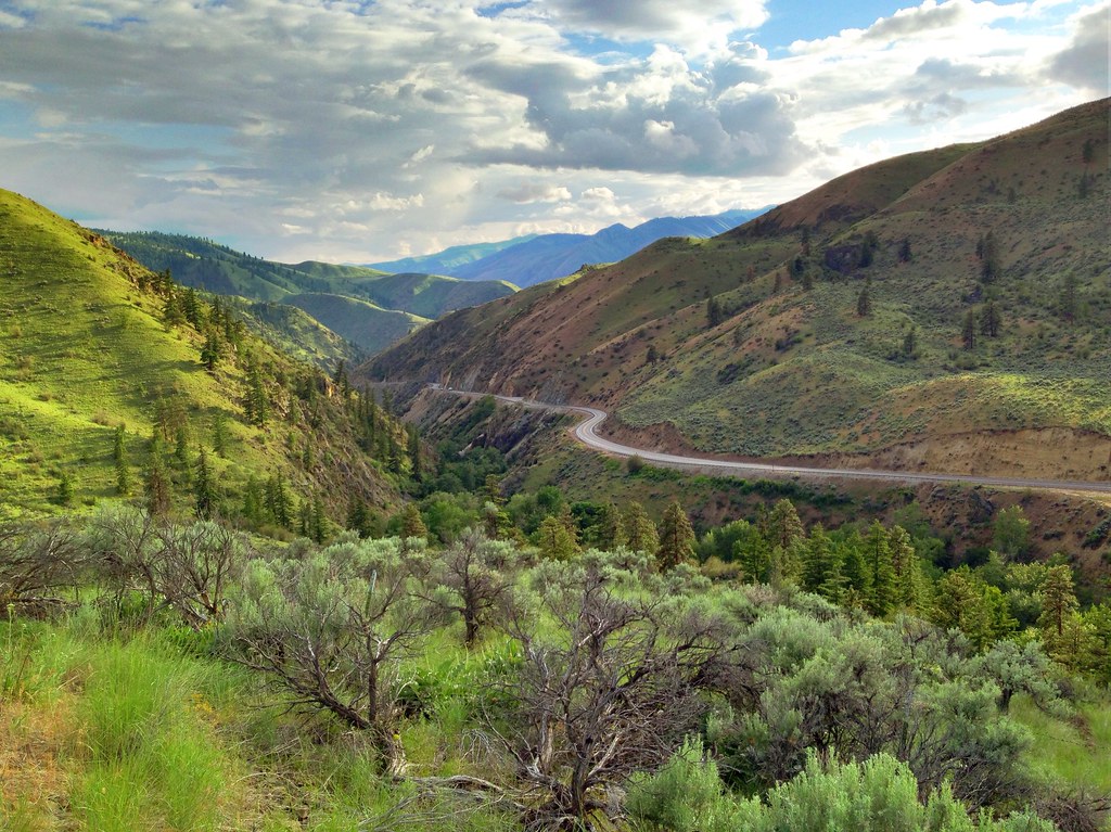
US Highway 2 - Douglas County, WA (May 2013)

Alstown, WA
Entiat Sunset

Alstown, WA

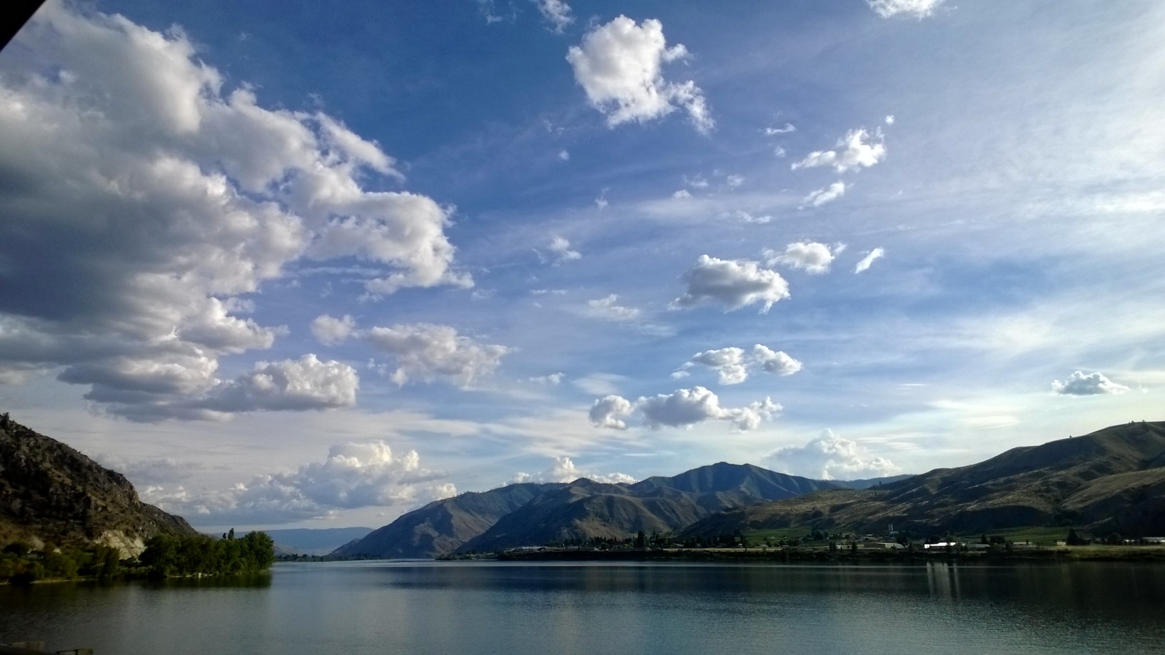
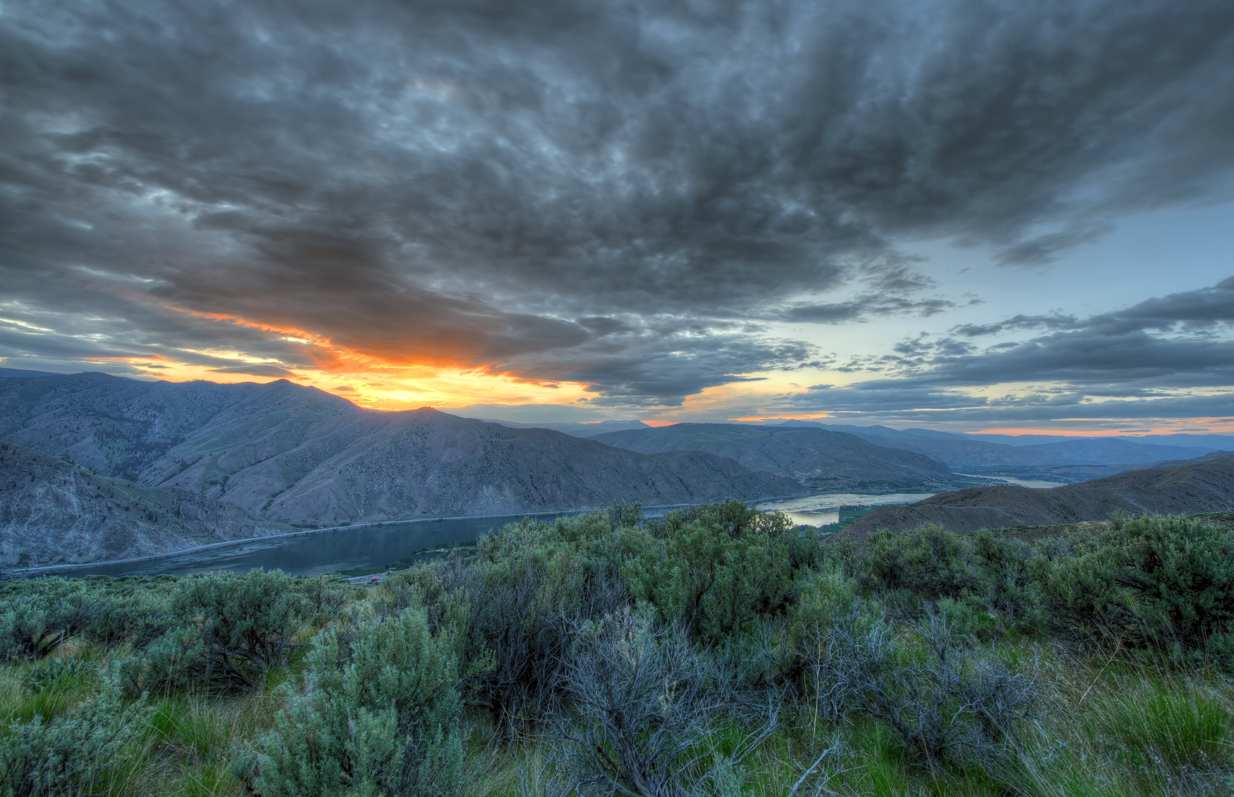
Lake Entiat Dusk

Badger Mountain and Lake Entiat

Arabis cusickii

Rainbow Over Badger Mountain

AEB201307130045.jpg
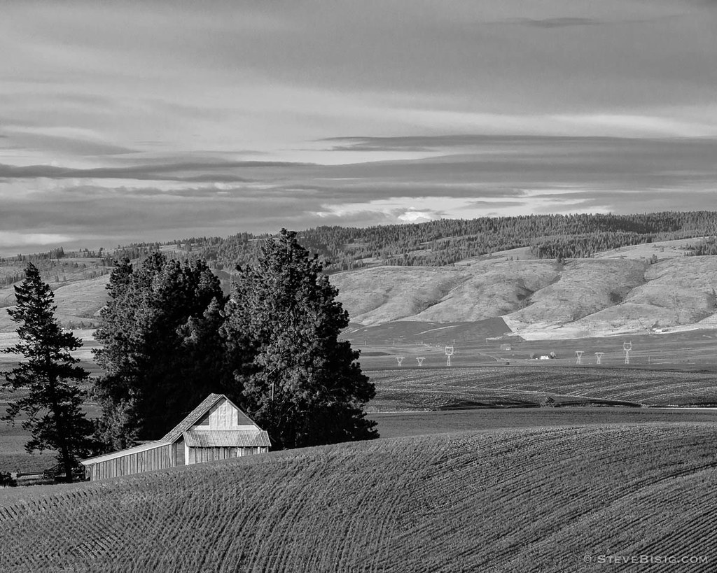
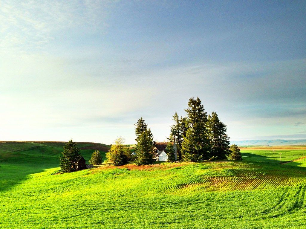
Barn Over the Hill, Douglas County, Washington, 2013
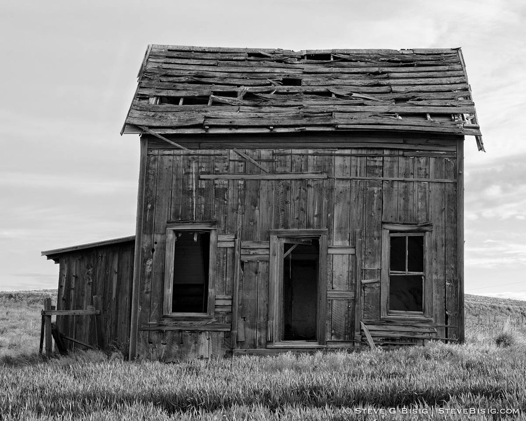
Abandoned Two-Story Farm House, 8-1/2 Road NW, Douglas County, Washington, May 2013
Badger Glow
Fire in the hills
Topographic Map of Waterville, WA, USA
Find elevation by address:

Places in Waterville, WA, USA:
Places near Waterville, WA, USA:
104 E Locust St
211 E Birch St
3 Badger Mountain Rd
51 S Douglas Creek Rd
51 S Douglas Creek Rd
51 North Douglas Creek Road
51 S Douglas Rd
South Road Northwest
200 Blue Jay Rd
Alstown
203 Wild Turkey Rd
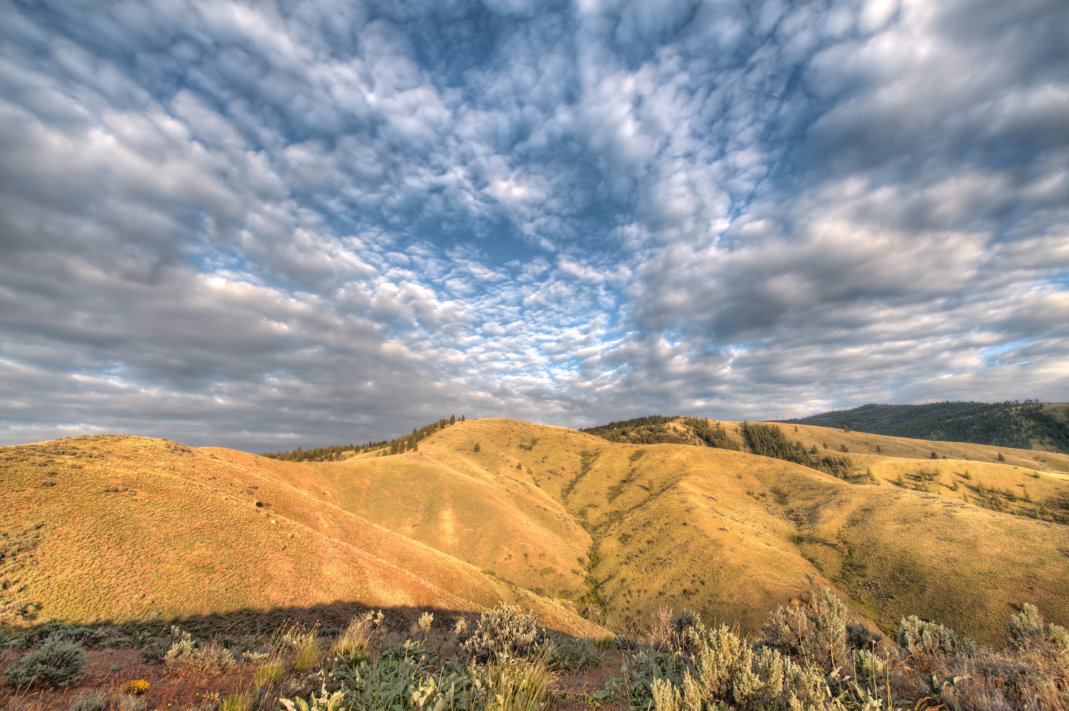
Badger Mountain
100 Sagebrush Rd
Entiat
745 W Emerson Dr
Orondo
1700 Co Hwy 19
931 1st St
Chelan Falls
2nd St, Chelan Falls, WA, USA
Recent Searches:
- Elevation of Corso Fratelli Cairoli, 35, Macerata MC, Italy
- Elevation of Tallevast Rd, Sarasota, FL, USA
- Elevation of 4th St E, Sonoma, CA, USA
- Elevation of Black Hollow Rd, Pennsdale, PA, USA
- Elevation of Oakland Ave, Williamsport, PA, USA
- Elevation of Pedrógão Grande, Portugal
- Elevation of Klee Dr, Martinsburg, WV, USA
- Elevation of Via Roma, Pieranica CR, Italy
- Elevation of Tavkvetili Mountain, Georgia
- Elevation of Hartfords Bluff Cir, Mt Pleasant, SC, USA