Elevation of Entiat, WA, USA
Location: United States > Washington > Chelan County >
Longitude: -120.20841
Latitude: 47.6759636
Elevation: 235m / 771feet
Barometric Pressure: 99KPa
Elevation Map:
Satellite Map:
Related Photos:

US 97A - Knapps C

US 97A - Knapps B

Golden Eagle

Swakane Canyon east view

Numeral Mountain

Best viewed live!

Swakane Canyon west view

Breakfast with a view. #froggerdogger #vanlife

View from Veranda

Time Is Long

Dusty Destinations

In For A Ride

Columbia River Reflection

The Vastness

Morning calm behind Rocky Reach

Take It Slow
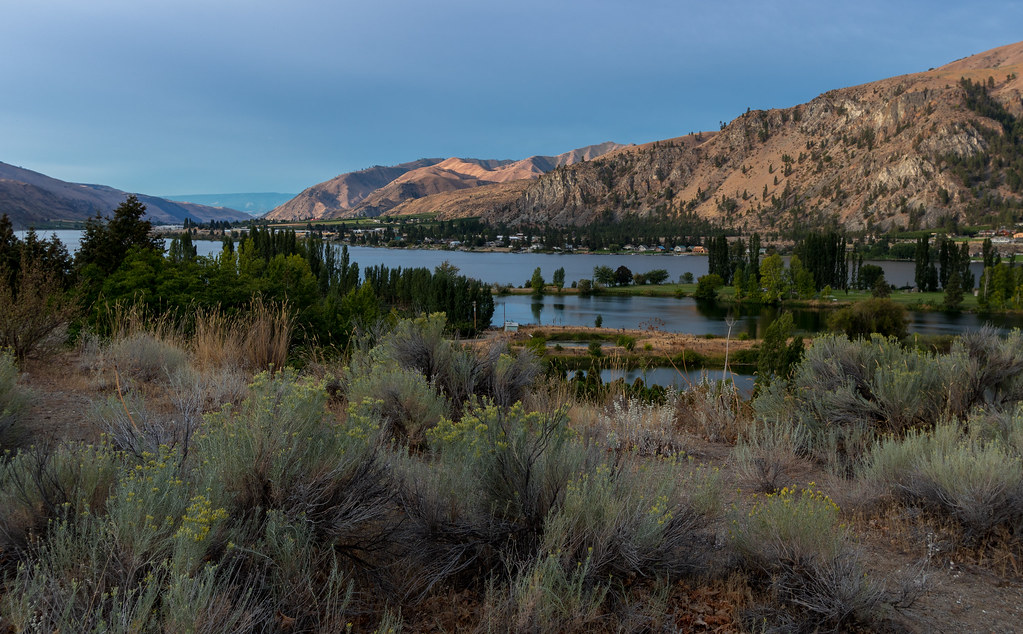
Columbia River - WA

Bone Dry

The Forgotten

Destination upper left

Where is justice for my people?

We love rocky slopes

Archie J Lovett, died 4-23-1903

Springtime in the Gorge

Foreground and Background

Sheep with attitude

Scenery along WA-97ALT
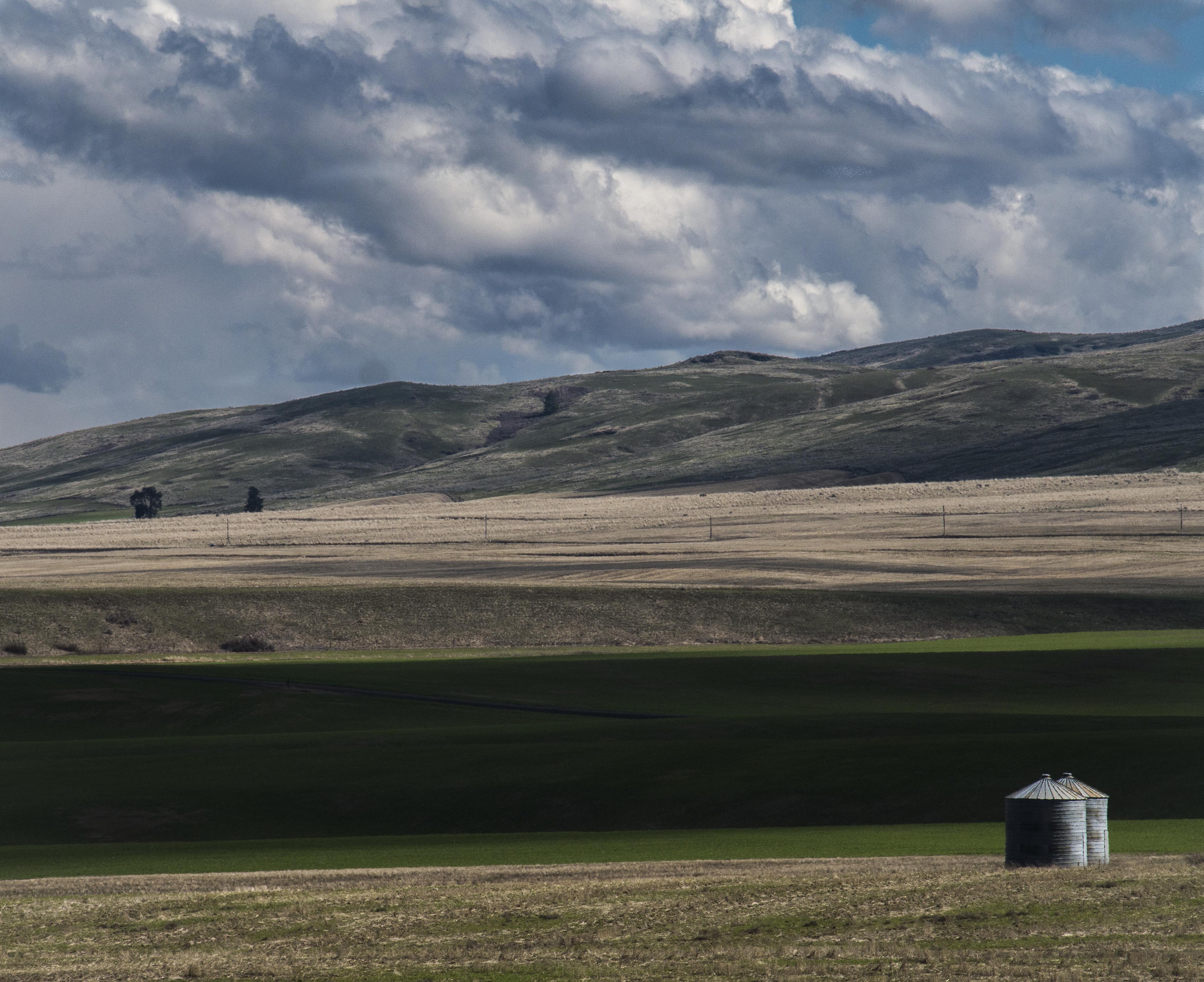
Waterville, WA bins

Legacy of wildfire
Topographic Map of Entiat, WA, USA
Find elevation by address:

Places near Entiat, WA, USA:
1700 Co Hwy 19
South Road Northwest
Orondo
745 W Emerson Dr
Badger Mountain
200 Blue Jay Rd
7964 Tilly Ln
100 Sagebrush Rd
203 Wild Turkey Rd
Waterville
104 E Locust St
211 E Birch St
3 Badger Mountain Rd
Rocky Reach Dam
Wenatchee Gun Club
51 S Douglas Creek Rd
51 S Douglas Creek Rd
51 North Douglas Creek Road
51 S Douglas Rd
48 W Mountain Brook Ln
Recent Searches:
- Elevation of Corso Fratelli Cairoli, 35, Macerata MC, Italy
- Elevation of Tallevast Rd, Sarasota, FL, USA
- Elevation of 4th St E, Sonoma, CA, USA
- Elevation of Black Hollow Rd, Pennsdale, PA, USA
- Elevation of Oakland Ave, Williamsport, PA, USA
- Elevation of Pedrógão Grande, Portugal
- Elevation of Klee Dr, Martinsburg, WV, USA
- Elevation of Via Roma, Pieranica CR, Italy
- Elevation of Tavkvetili Mountain, Georgia
- Elevation of Hartfords Bluff Cir, Mt Pleasant, SC, USA