Elevation of South Road Northwest, S Rd NW, Washington, USA
Location: United States > Washington >
Longitude: -120.15442
Latitude: 47.683442
Elevation: 915m / 3002feet
Barometric Pressure: 91KPa
Elevation Map:
Satellite Map:
Related Photos:
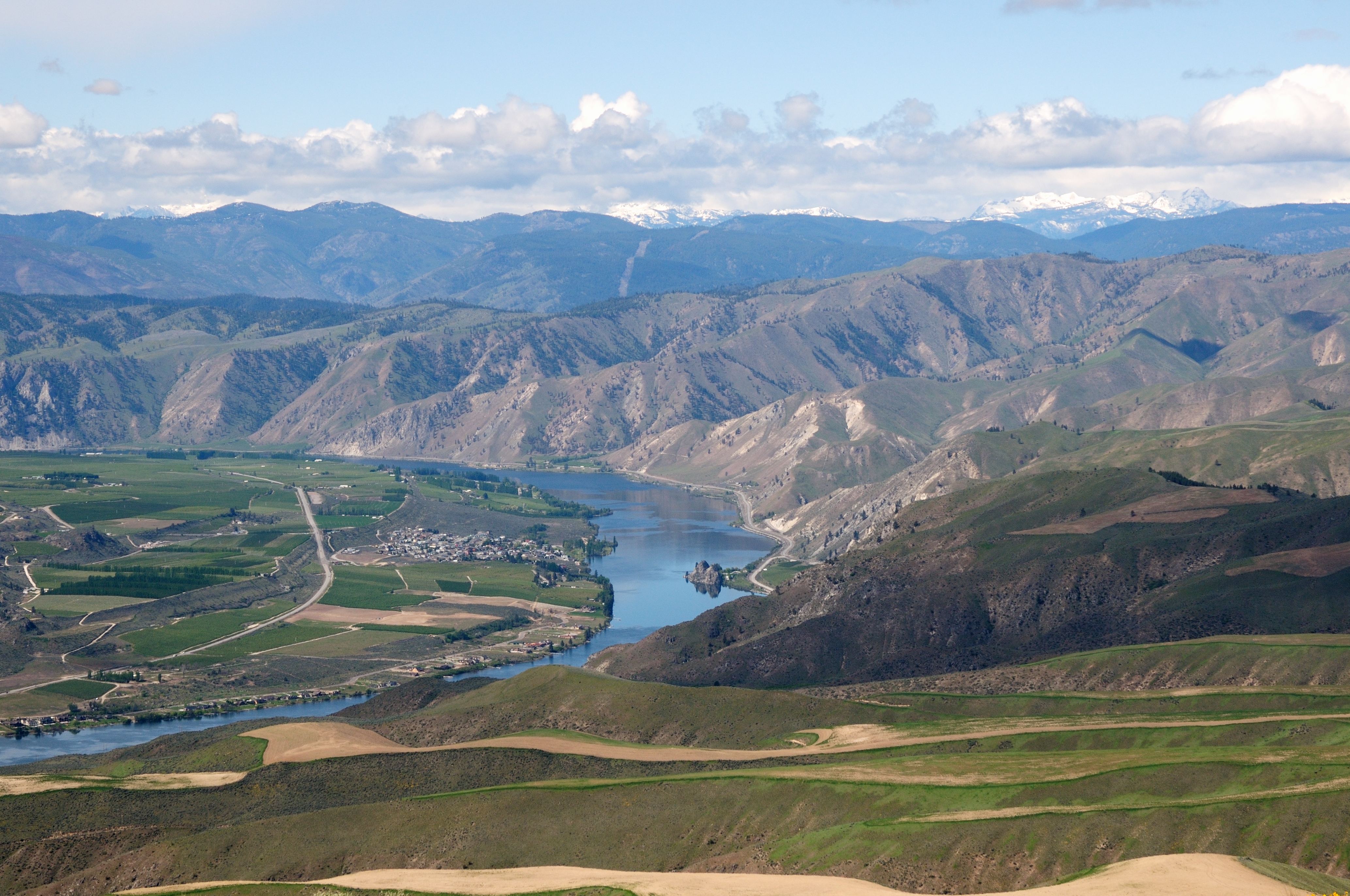
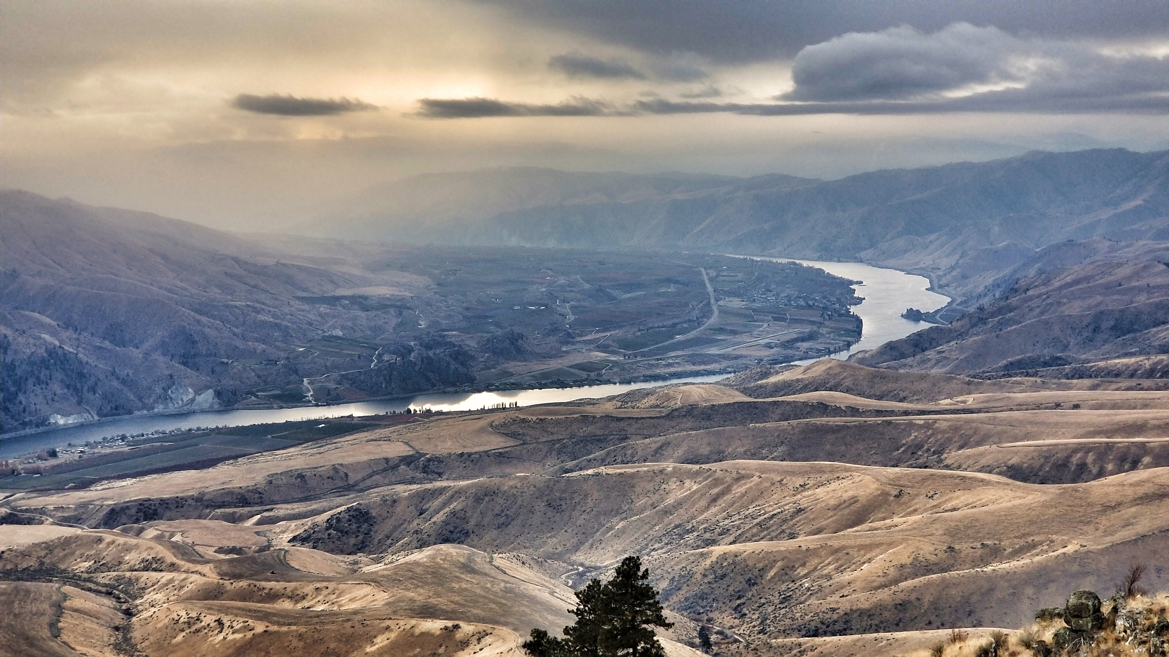
The Columbia river
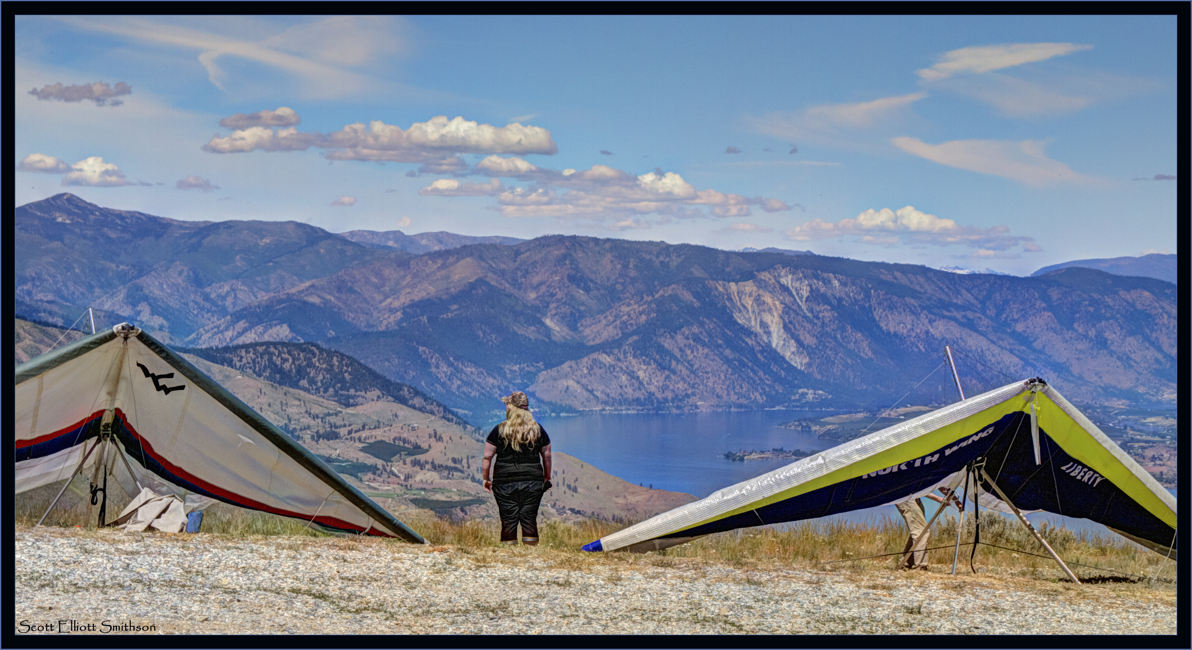
Ready to Fly
Best viewed live!
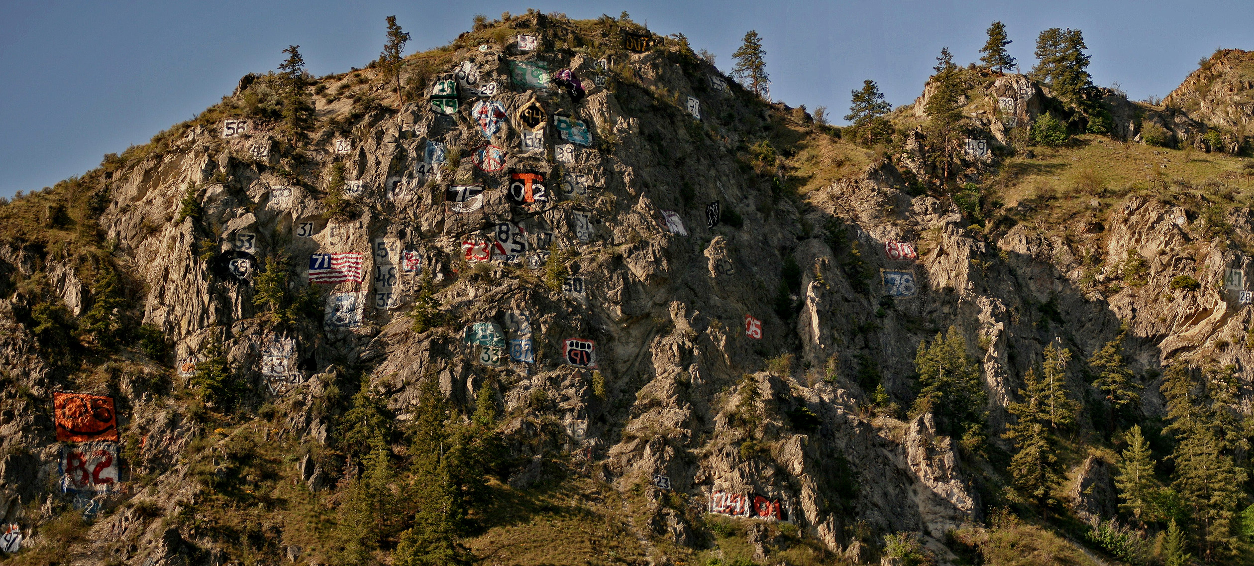
Numeral Mountain
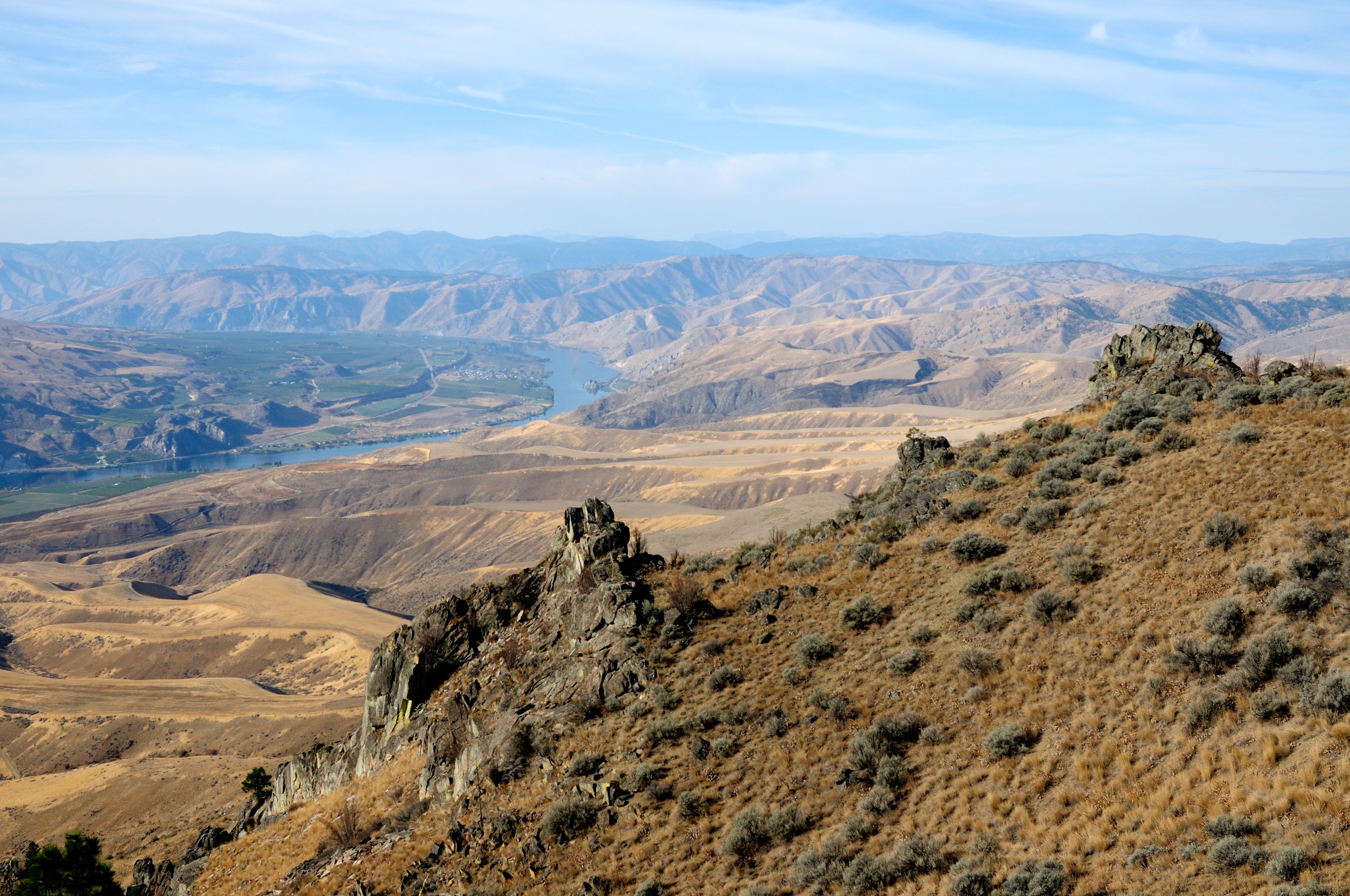
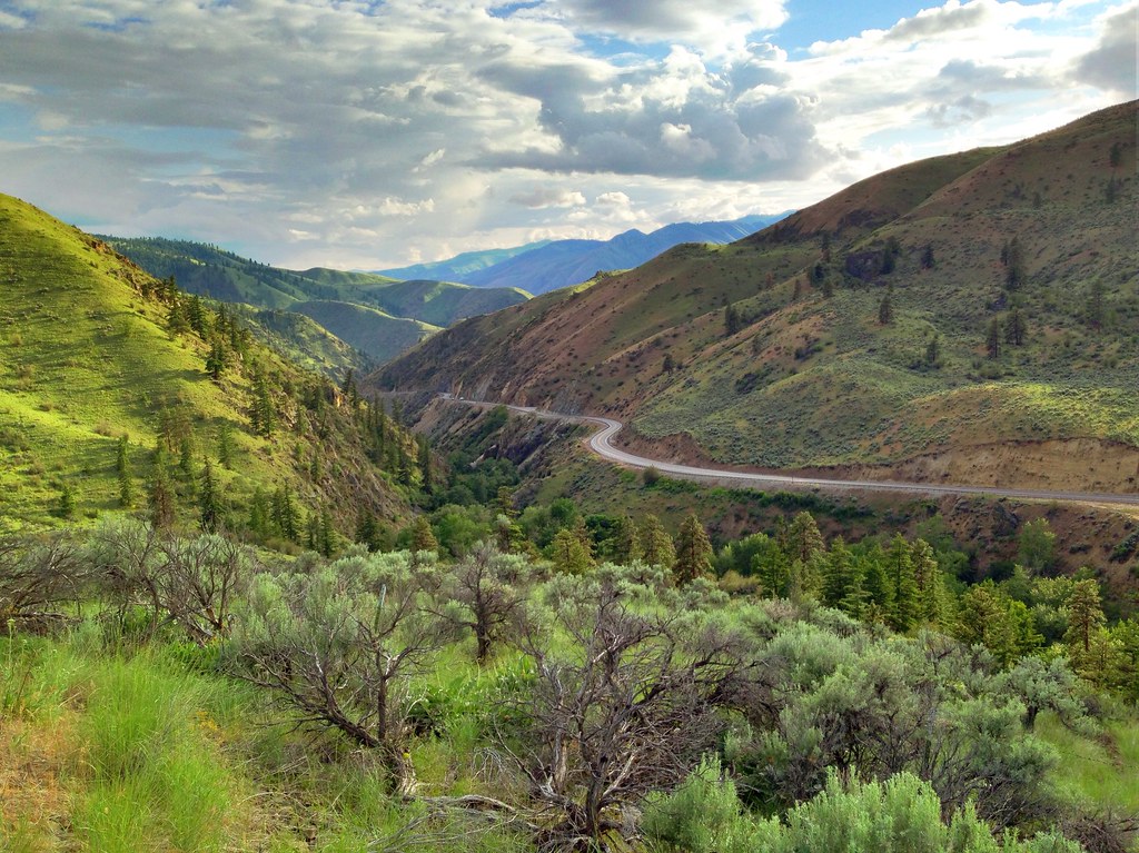
The Columbia river
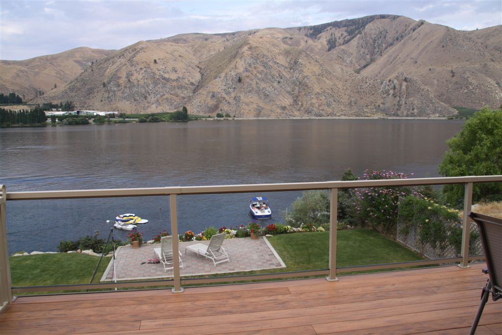
View from Veranda
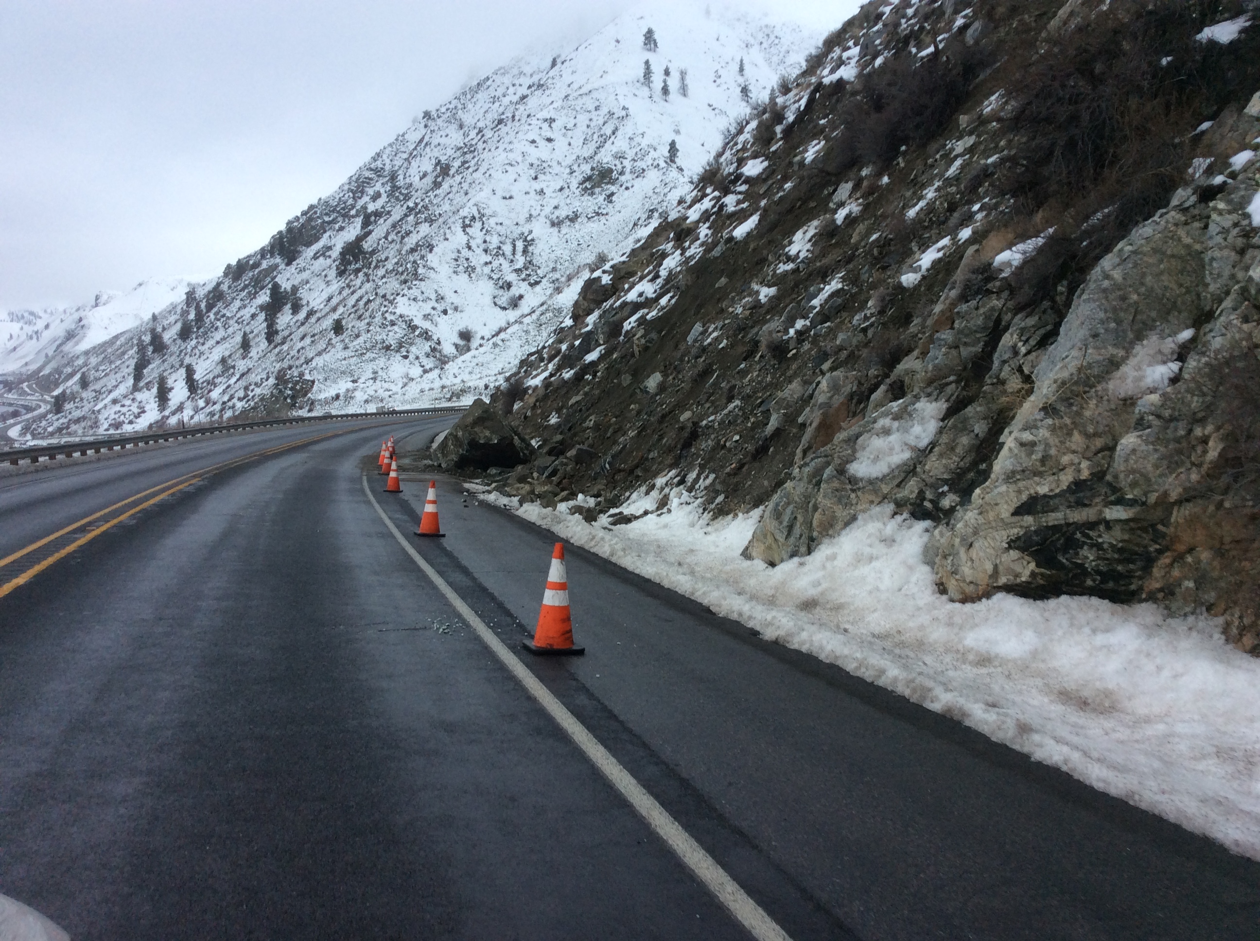
US 97A - Knapps C
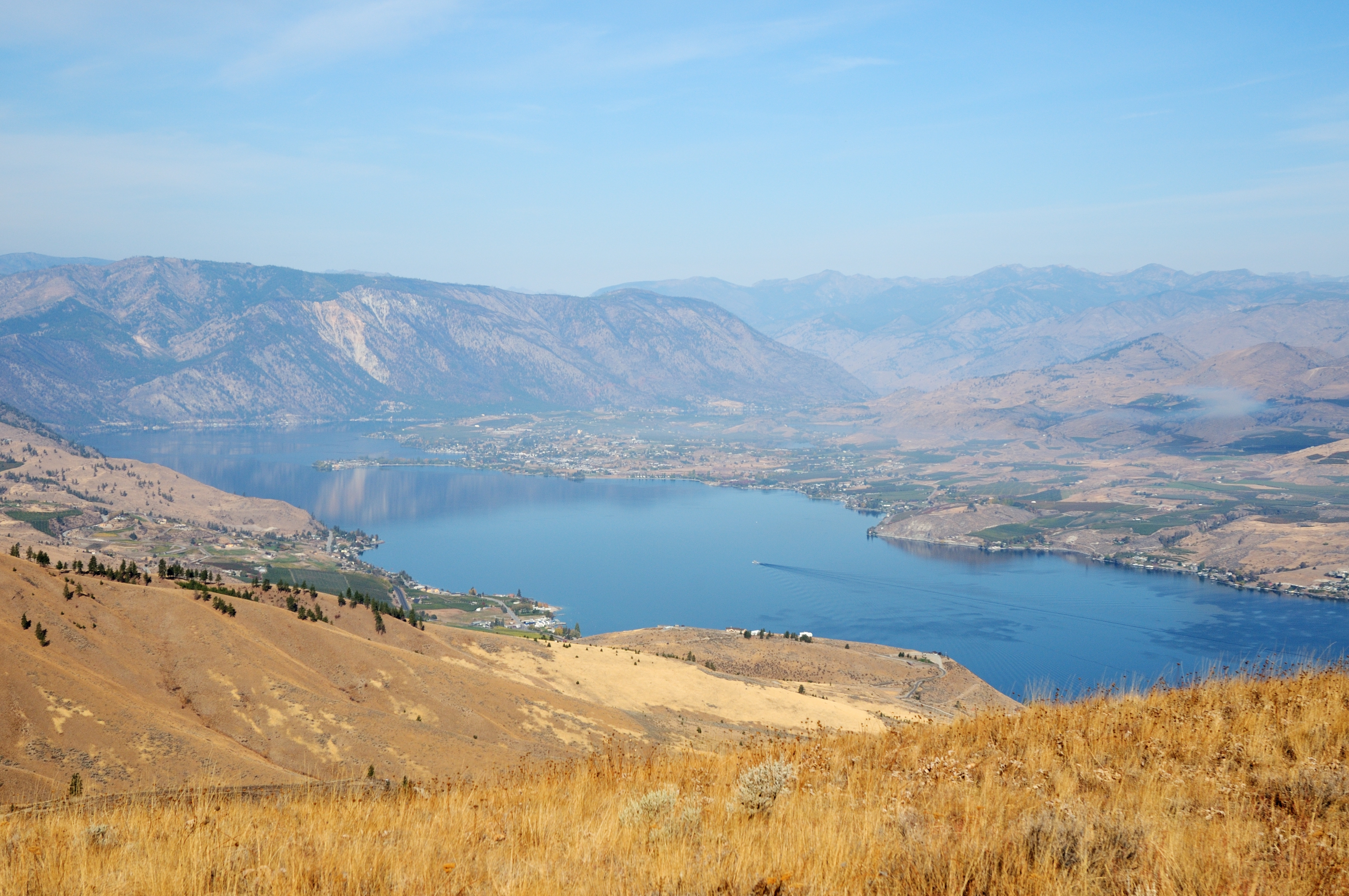
Lake Chelan
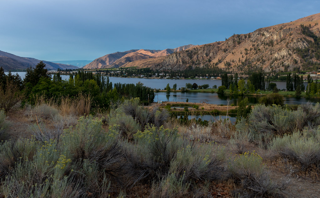
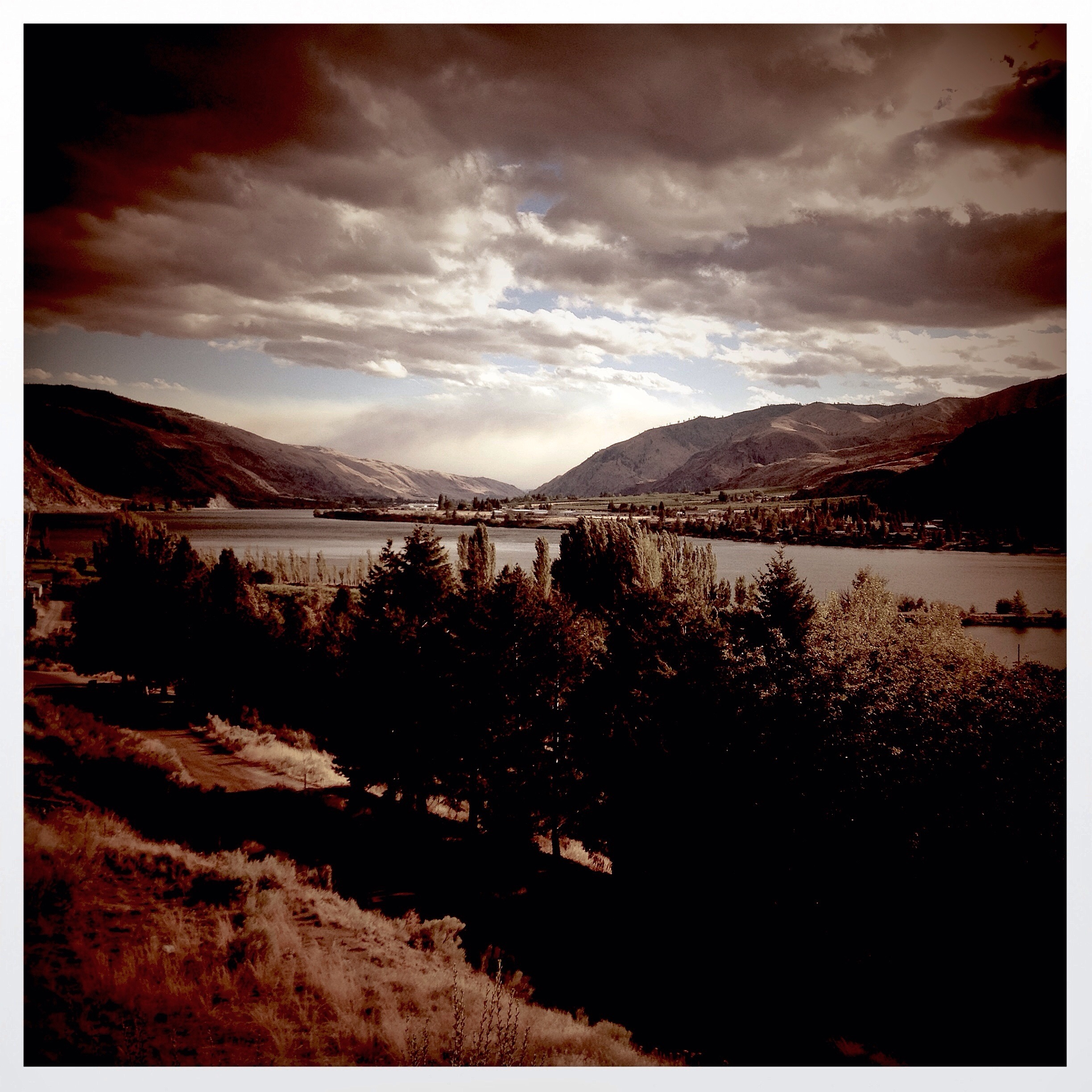
Columbia River - WA
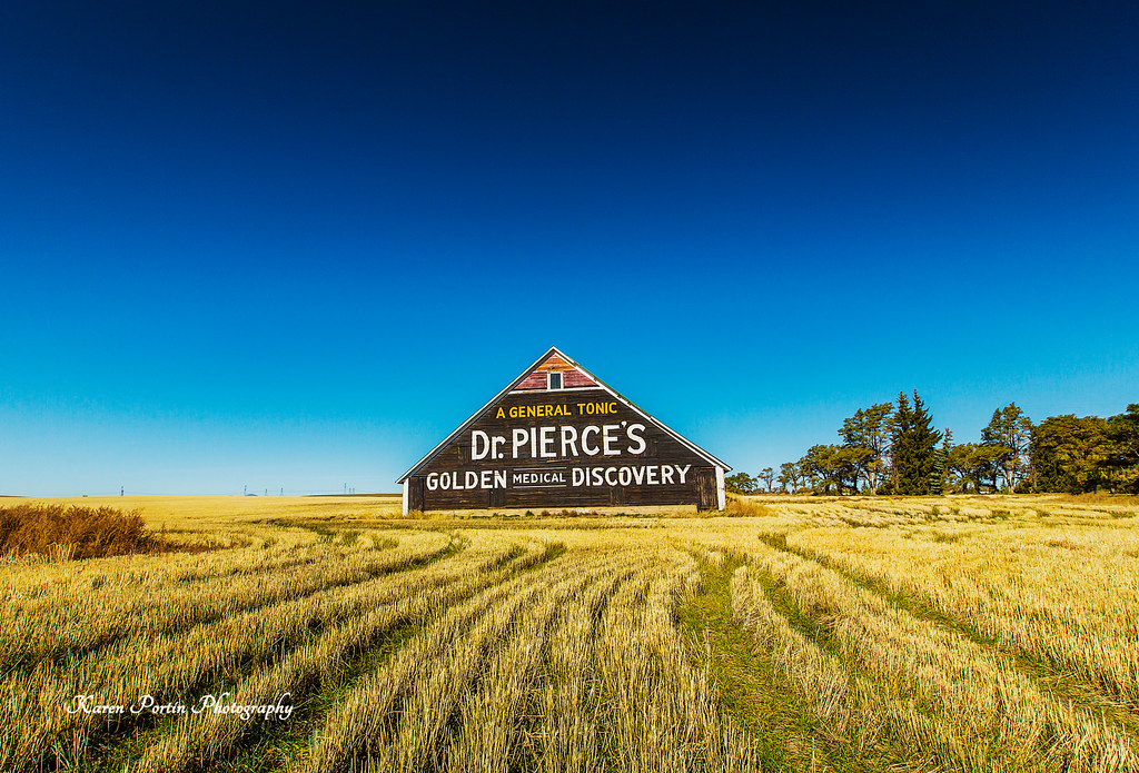
Dr. Pierce's Golden Medical Discovery
Dusty Destinations

Sunrise at Darago state park
Sunset in Washington
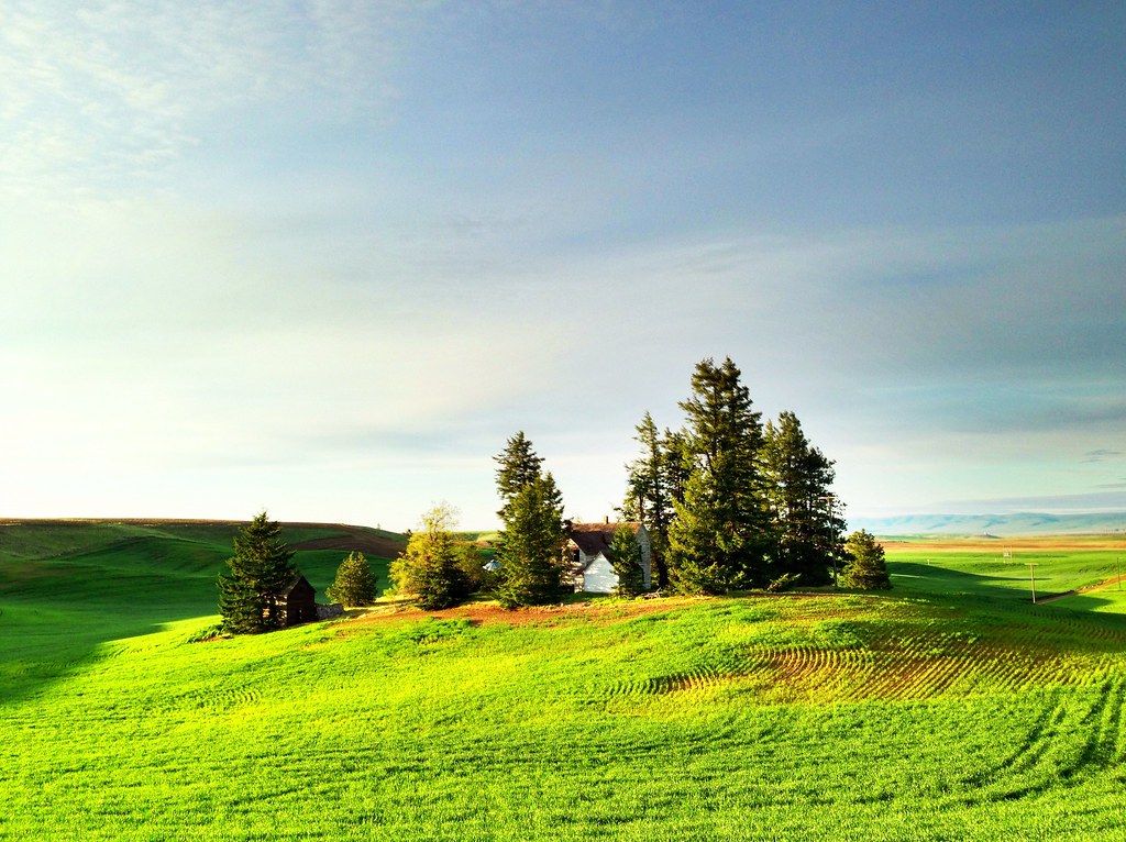
Abandoned Farm on a Hill - Douglas County, WA (May 2013)

Sunrise at Darago state park

Sunrise at Darago state park
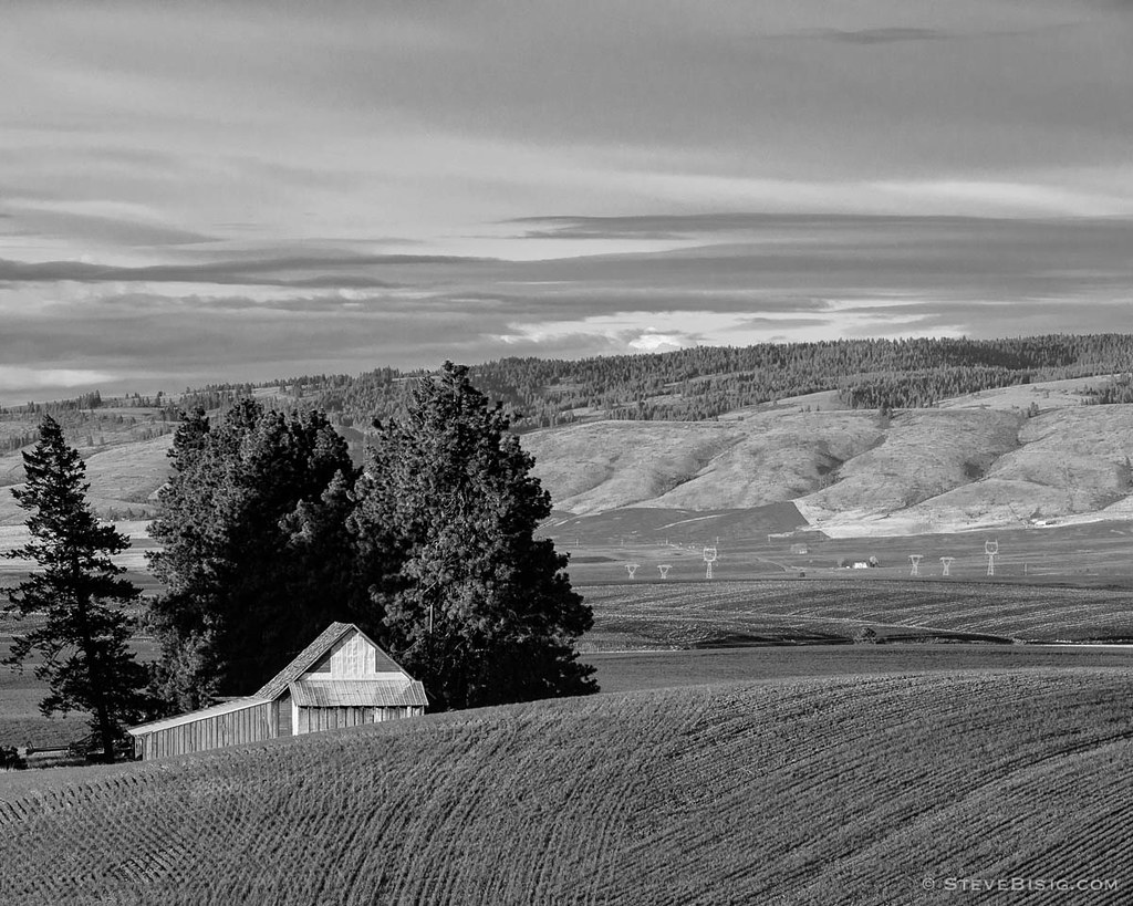
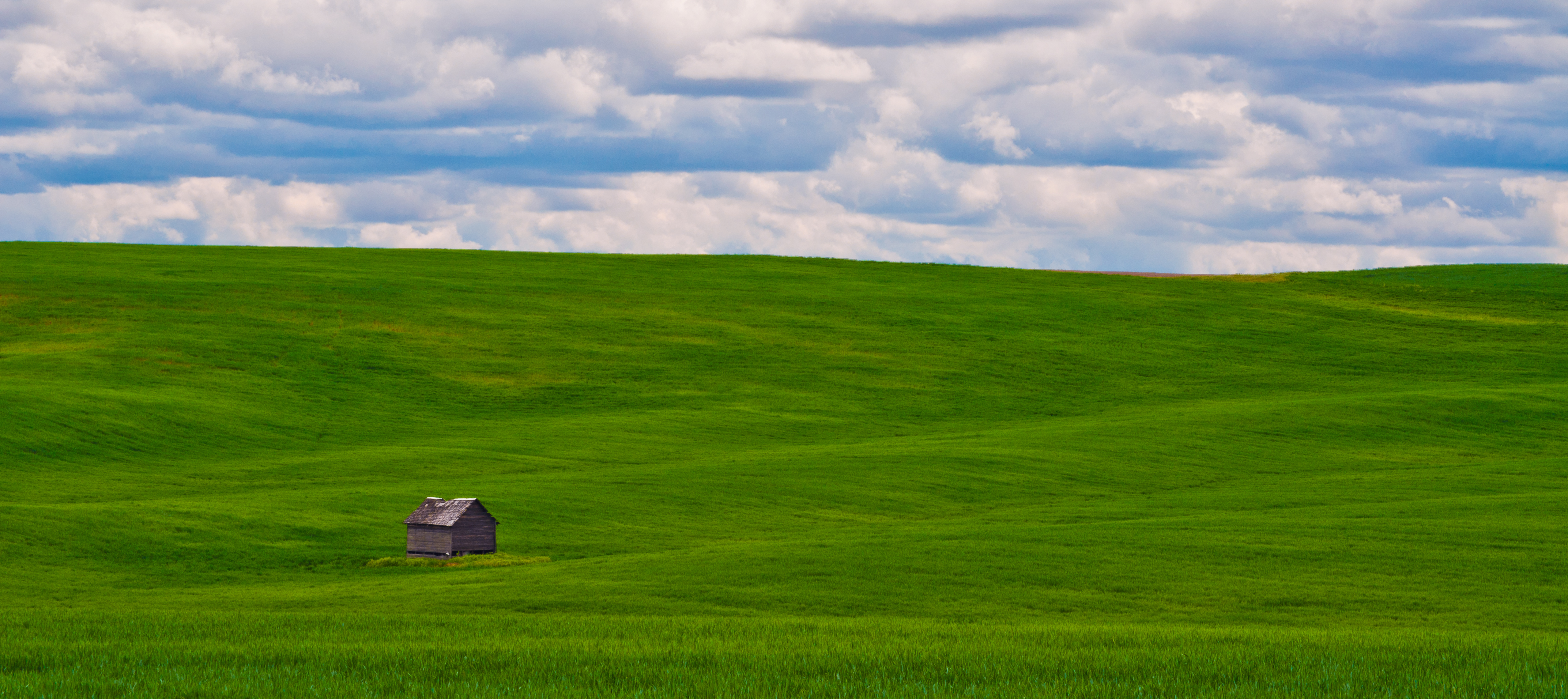
Barn Over the Hill, Douglas County, Washington, 2013

Sunrise at Darago state park
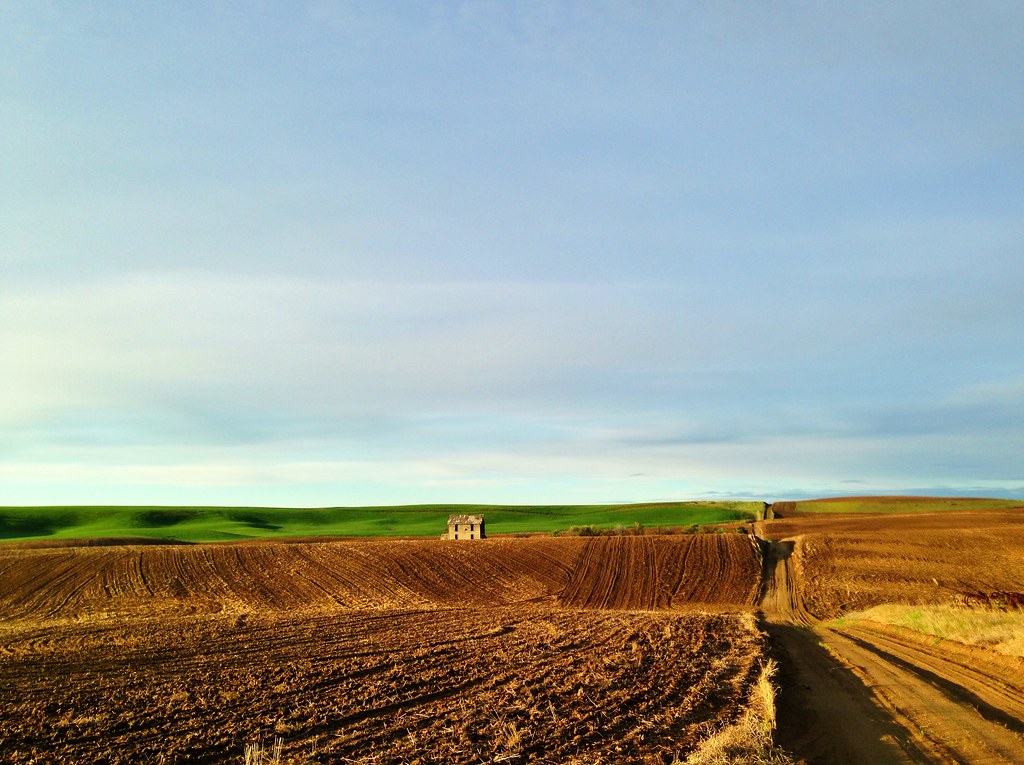
Abandoned Farmhouse - Road O NW, Douglas County, WA (May 2013)
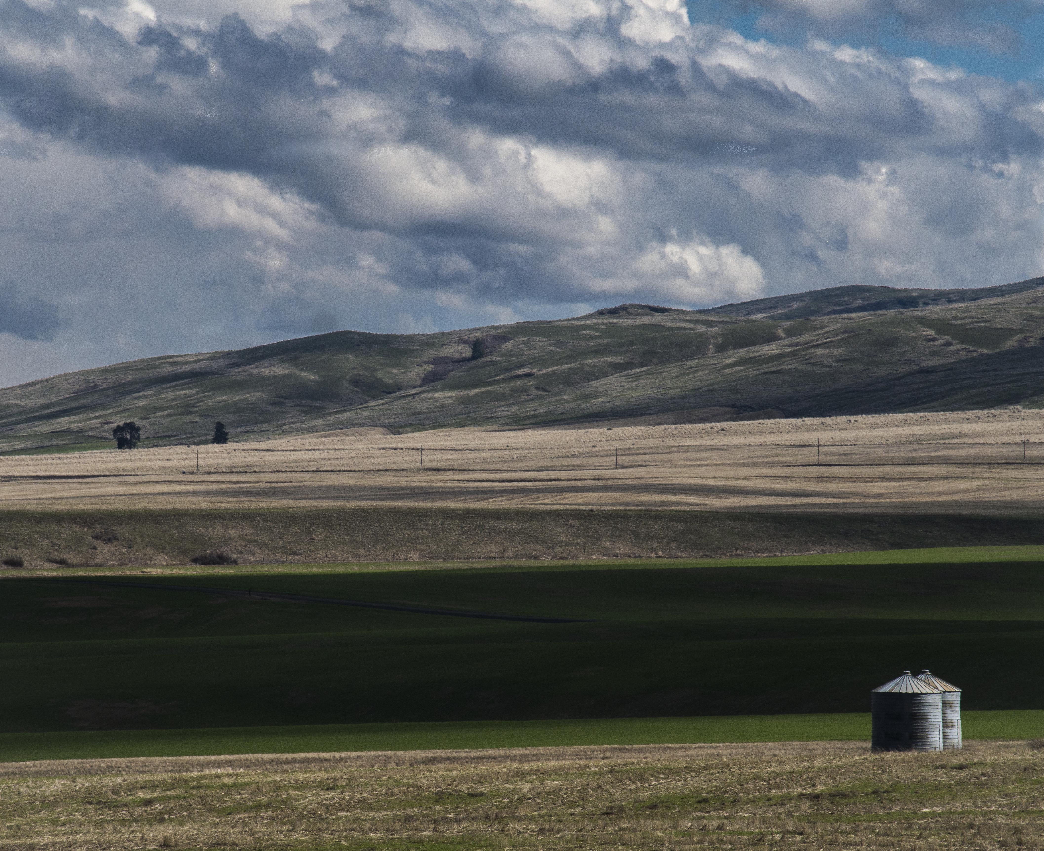
Waterville, WA bins

Sunrise at Darago state park
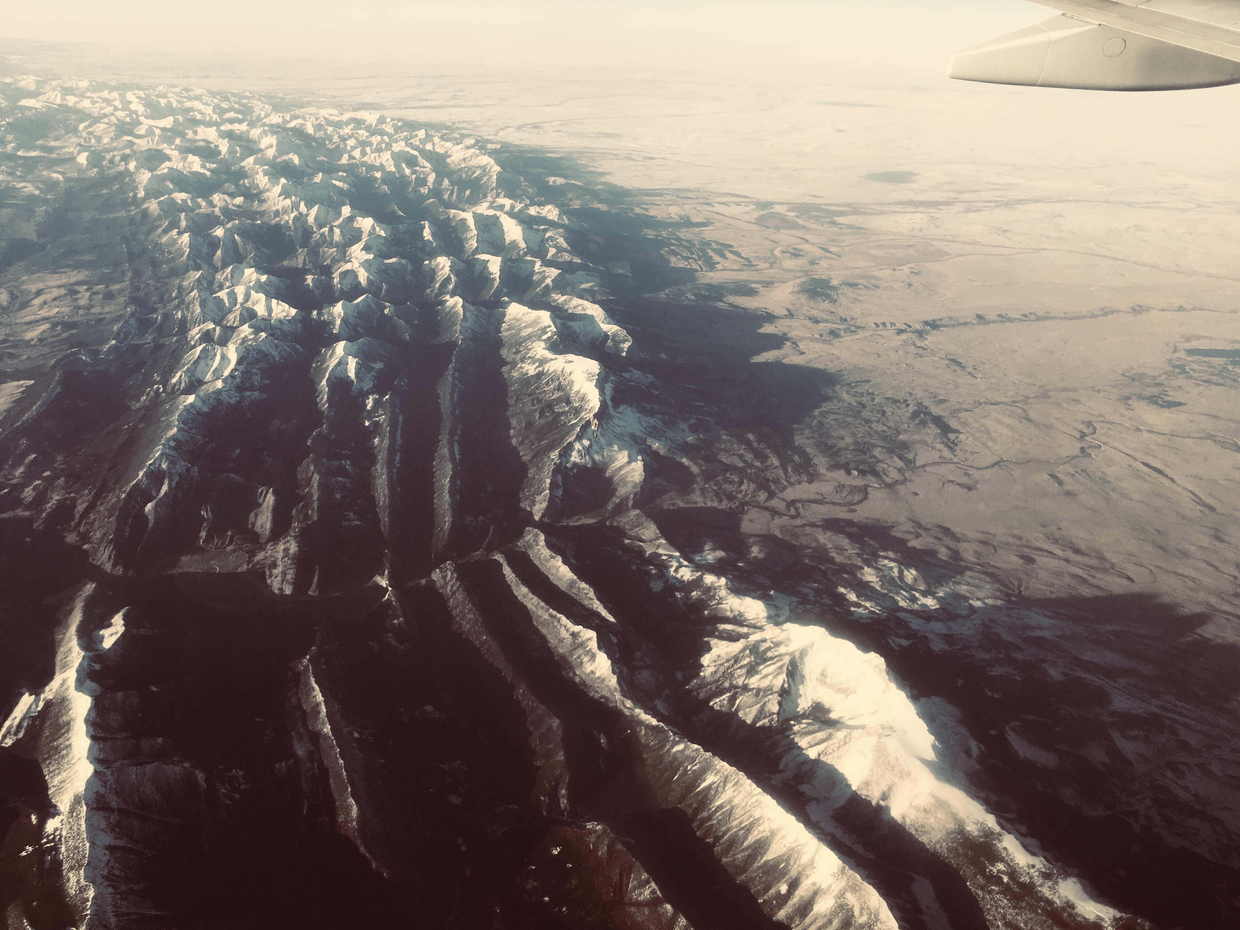
Where the Rockies end
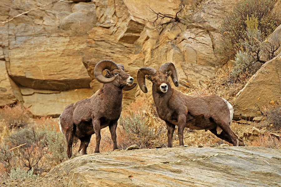
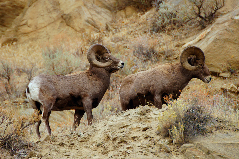
Sheep with attitude
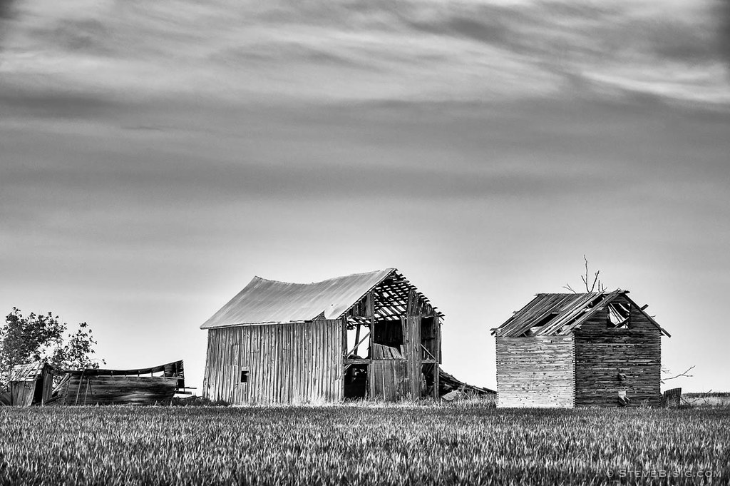
Abandoned Barns, K Rd, Douglas County, Washington, 2013
The Vastness
US Highway 2 - Douglas County, WA (May 2013)
Fire in the hills
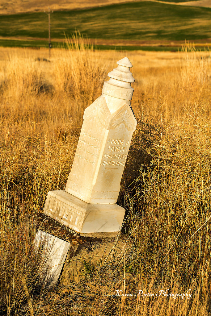
Archie J Lovett, died 4-23-1903
Topographic Map of South Road Northwest, S Rd NW, Washington, USA
Find elevation by address:

Places near South Road Northwest, S Rd NW, Washington, USA:
Entiat
745 W Emerson Dr
1700 Co Hwy 19
Waterville
104 E Locust St
200 Blue Jay Rd
211 E Birch St
Orondo
Badger Mountain
3 Badger Mountain Rd
203 Wild Turkey Rd
100 Sagebrush Rd
51 S Douglas Creek Rd
51 S Douglas Creek Rd
51 North Douglas Creek Road
51 S Douglas Rd
7964 Tilly Ln
931 1st St
Alstown
Chelan Falls
Recent Searches:
- Elevation of Corso Fratelli Cairoli, 35, Macerata MC, Italy
- Elevation of Tallevast Rd, Sarasota, FL, USA
- Elevation of 4th St E, Sonoma, CA, USA
- Elevation of Black Hollow Rd, Pennsdale, PA, USA
- Elevation of Oakland Ave, Williamsport, PA, USA
- Elevation of Pedrógão Grande, Portugal
- Elevation of Klee Dr, Martinsburg, WV, USA
- Elevation of Via Roma, Pieranica CR, Italy
- Elevation of Tavkvetili Mountain, Georgia
- Elevation of Hartfords Bluff Cir, Mt Pleasant, SC, USA