Elevation map of Wasatch County, UT, USA
Location: United States > Utah >
Longitude: -110.99835
Latitude: 40.3629418
Elevation: 2818m / 9245feet
Barometric Pressure: 72KPa
Elevation Map:
Satellite Map:
Related Photos:
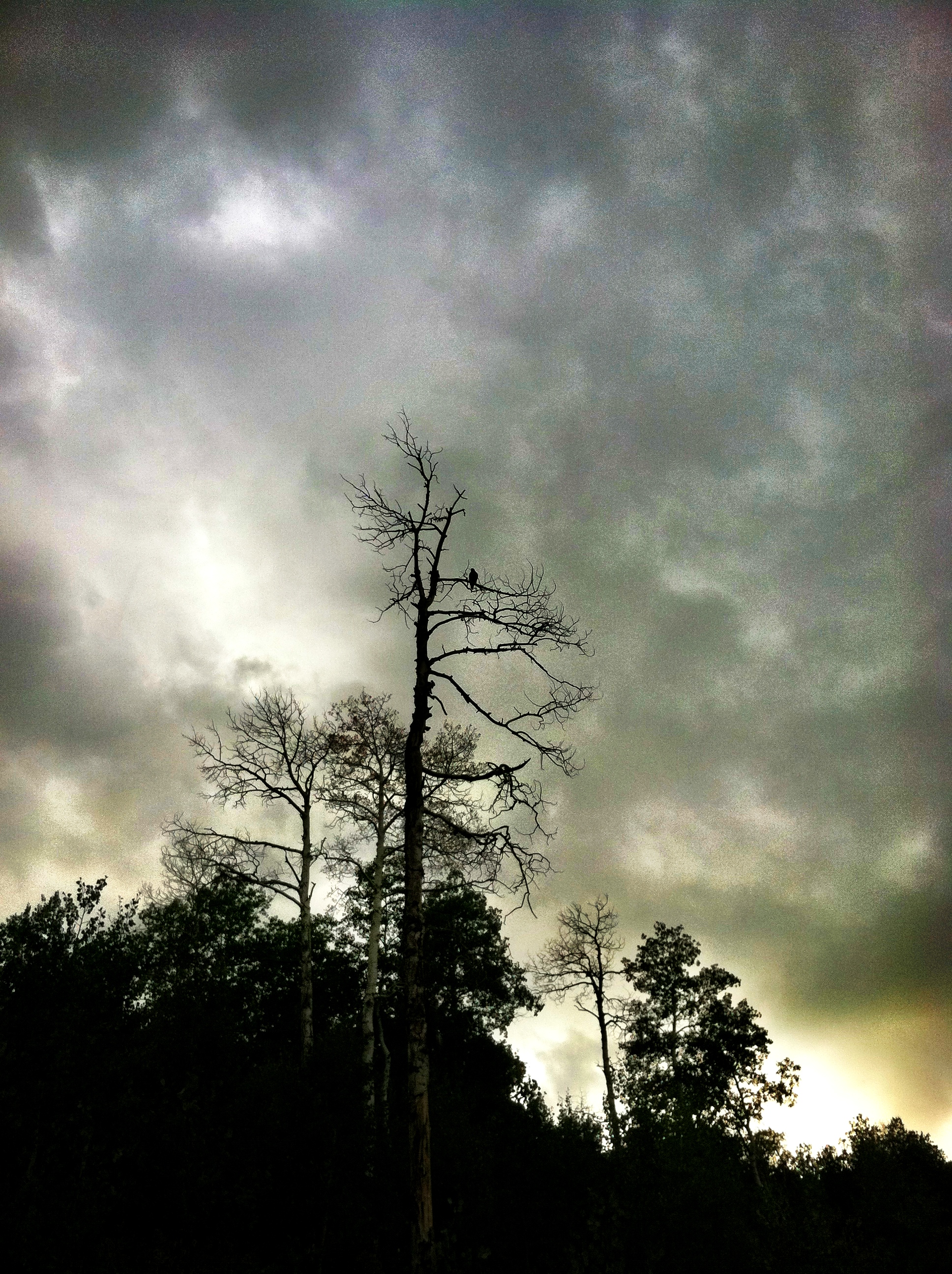
birds of prayer...
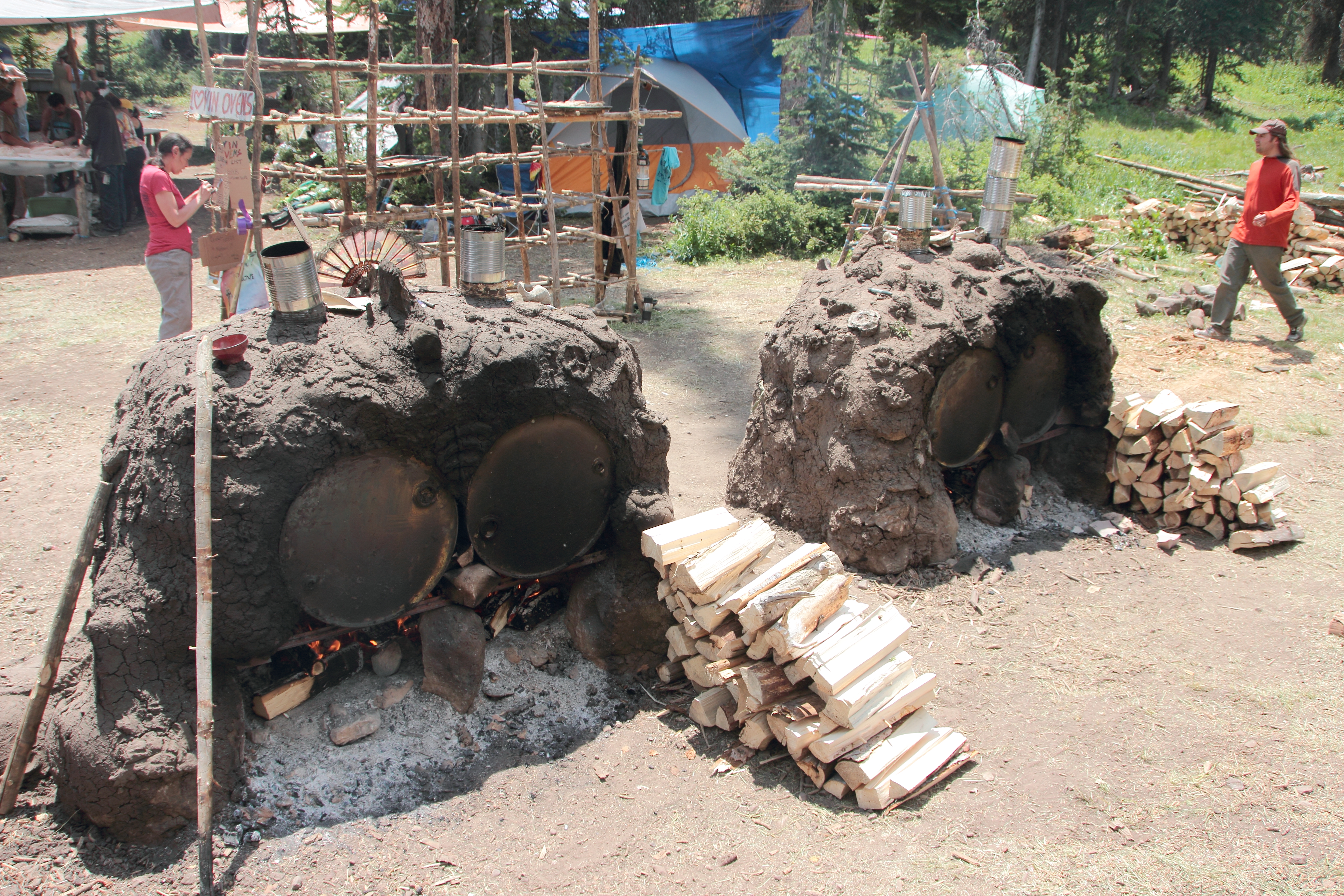
Lovin' Oven (back view)
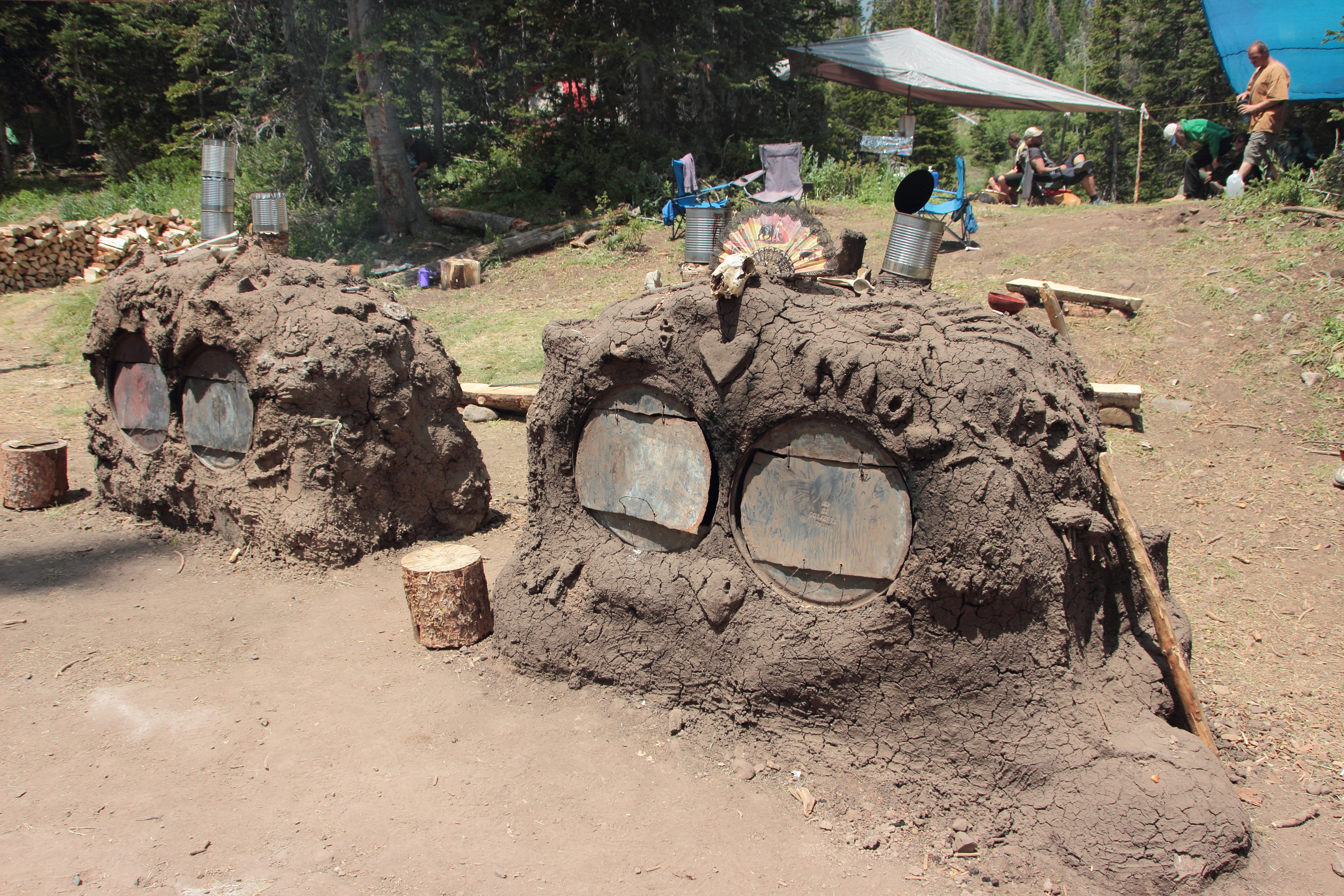
Lovin' Oven (front view)

Follow the Road!
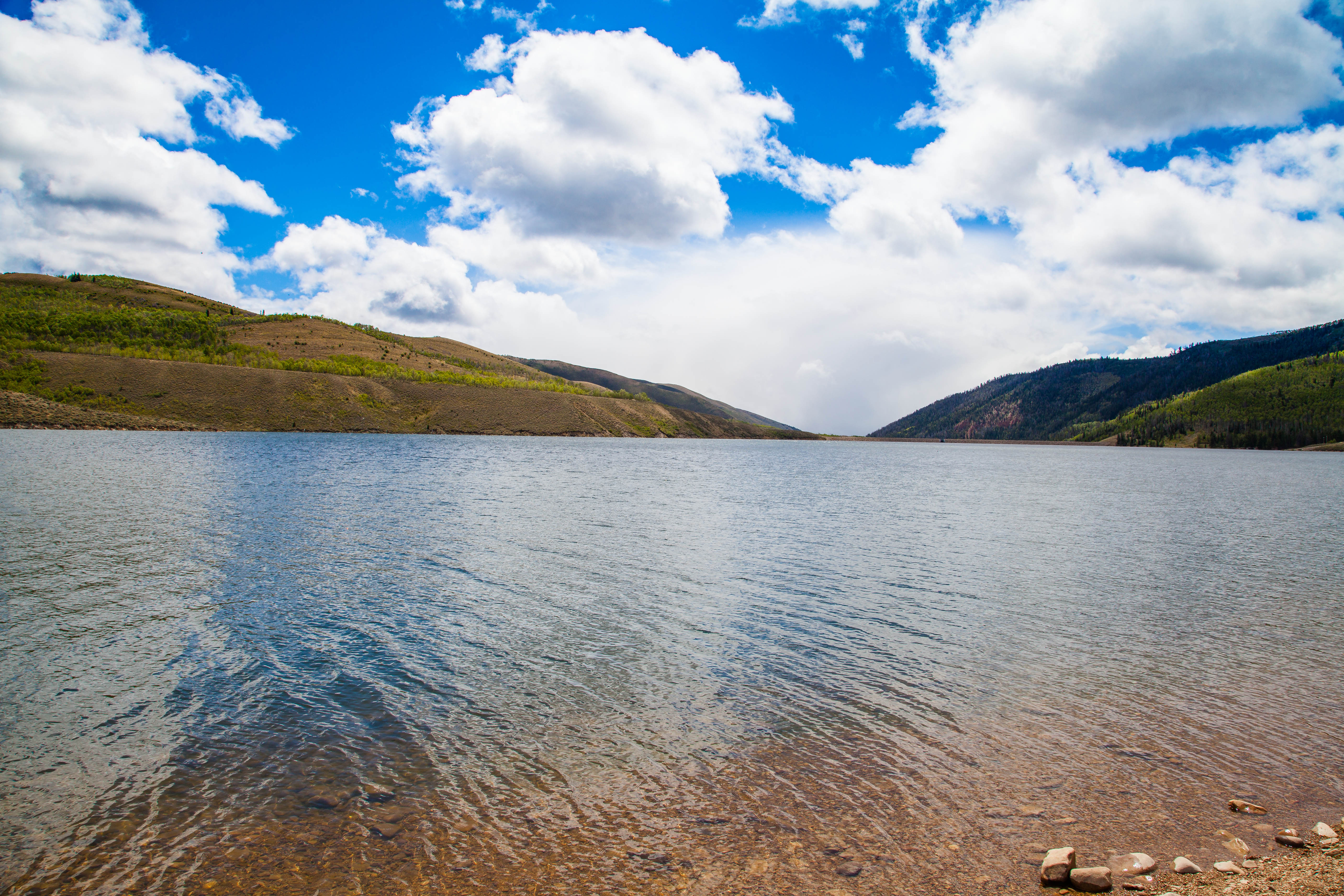
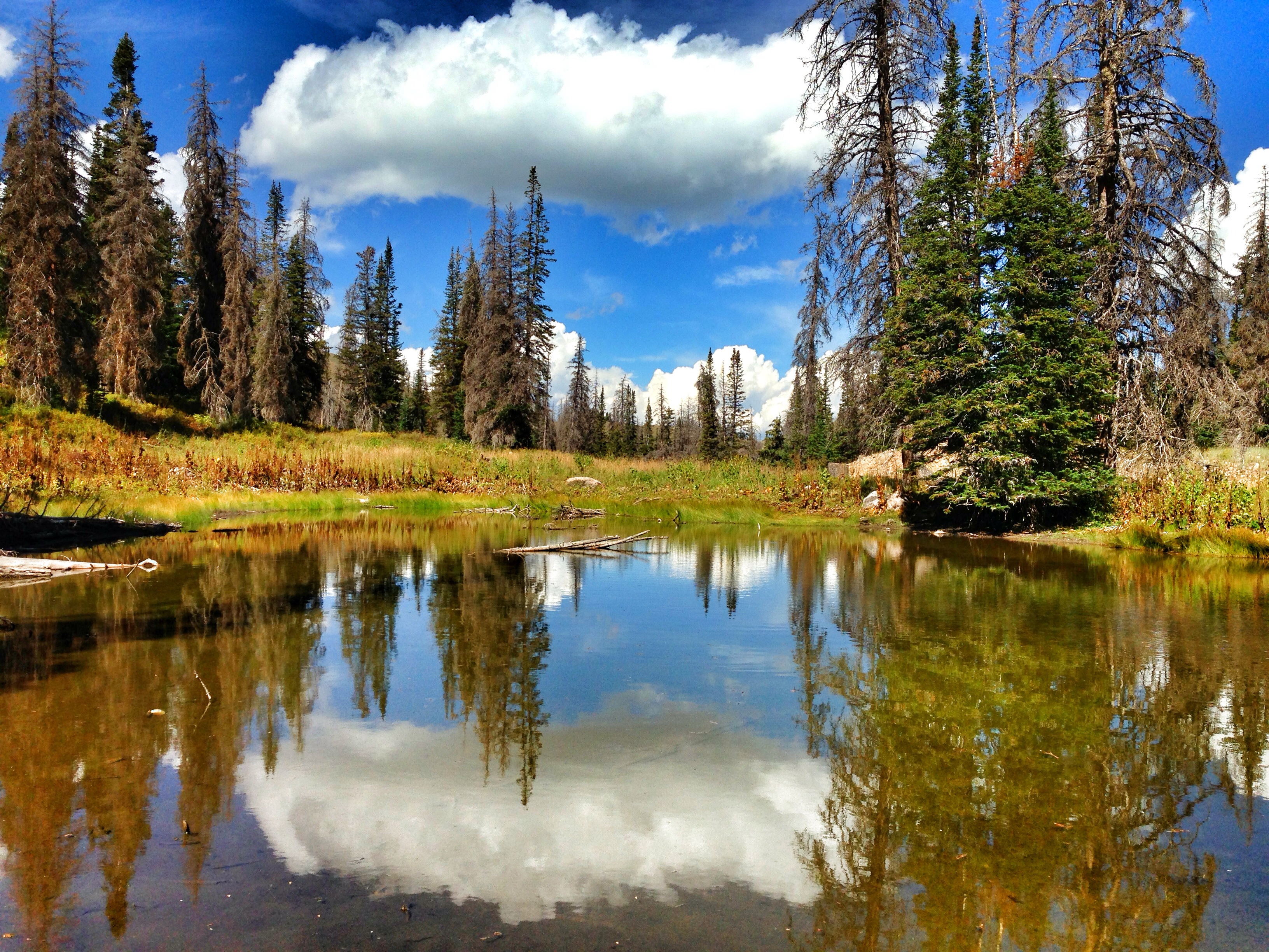
Currant Creek Reservoir
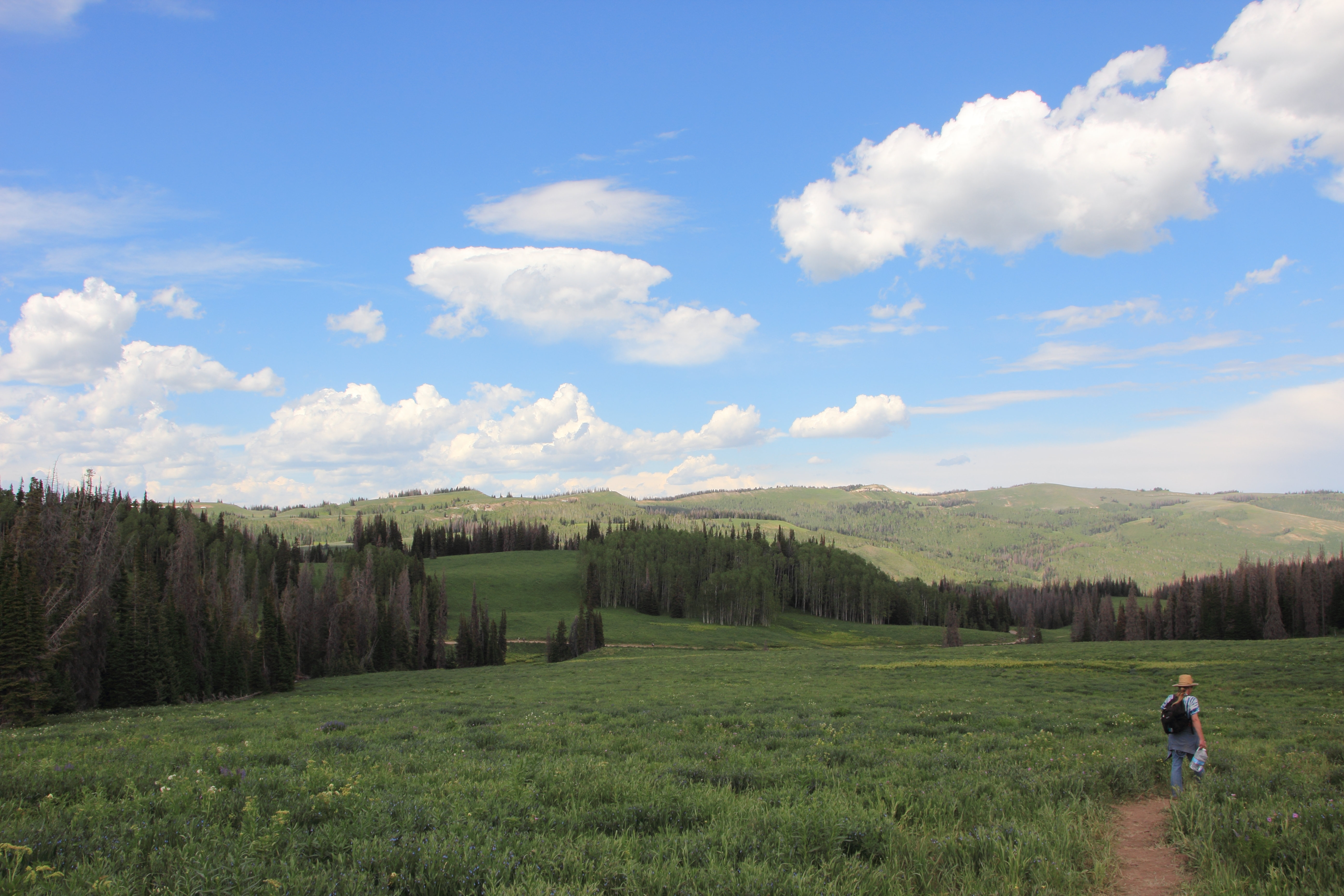
Camping in the Uintah's.
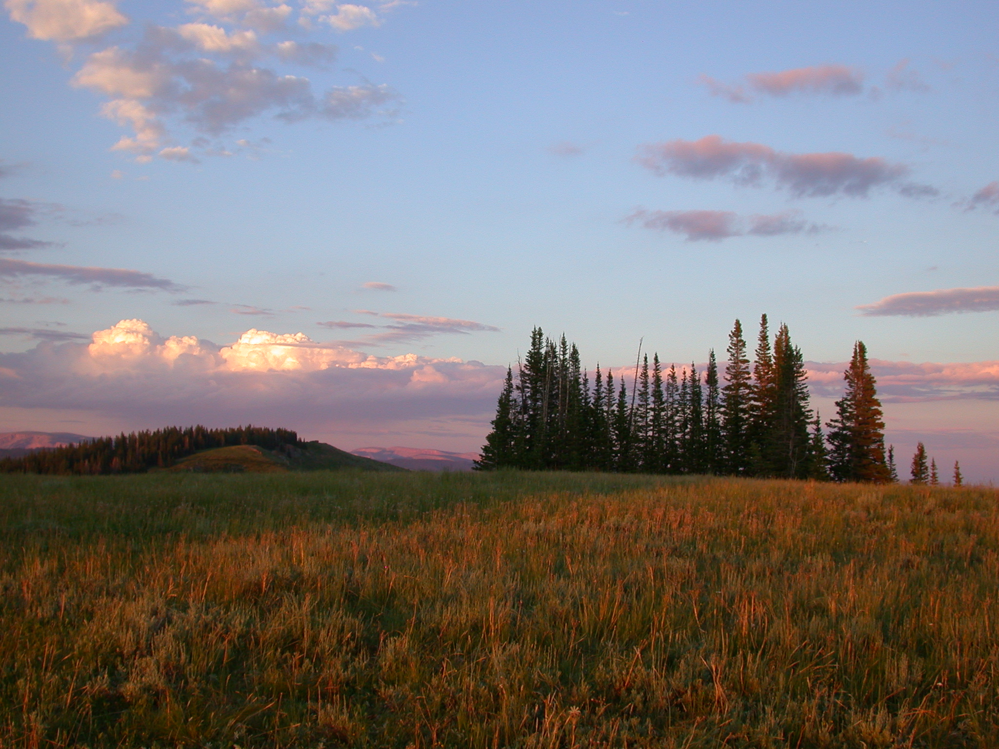
Wolf Creek Copse
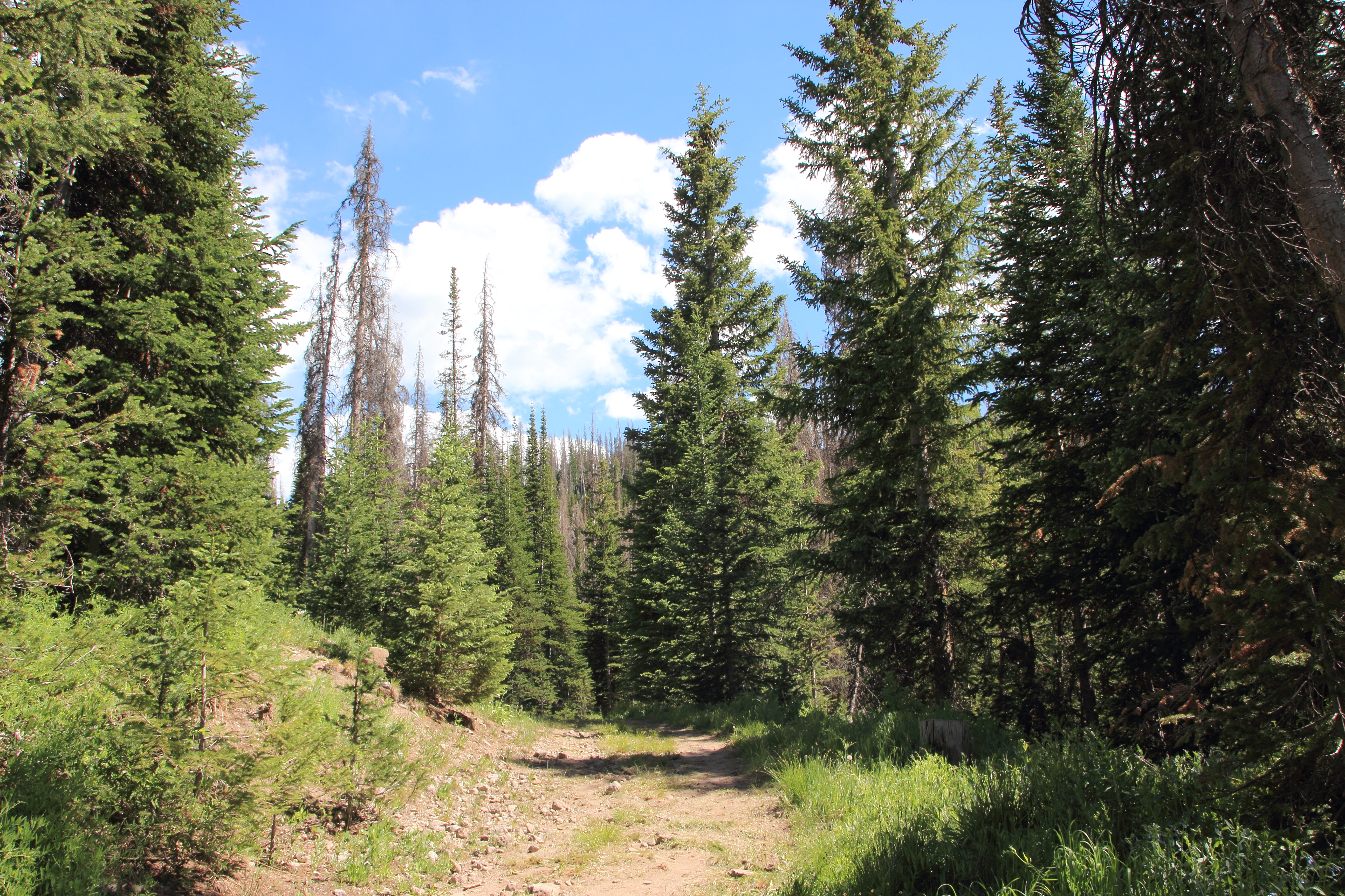
The Path
On the Way

Get It?
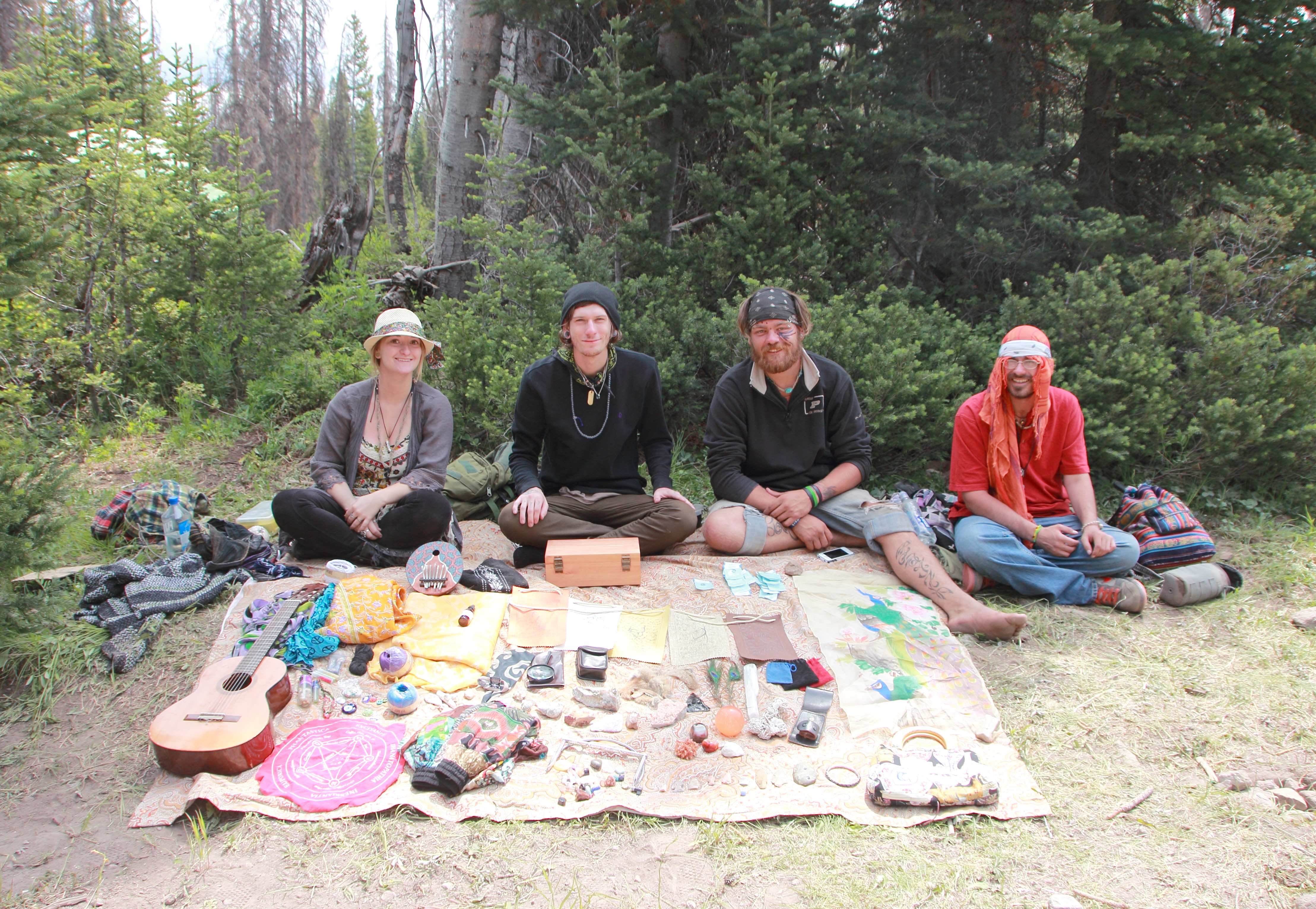
Free Trade Merchants

Magic Wheel of Peace

Magic Wheel of Peace

Deck of Dead

Deck of Dead

RAP 107

Welcome Home

Police Helicopter Black and White
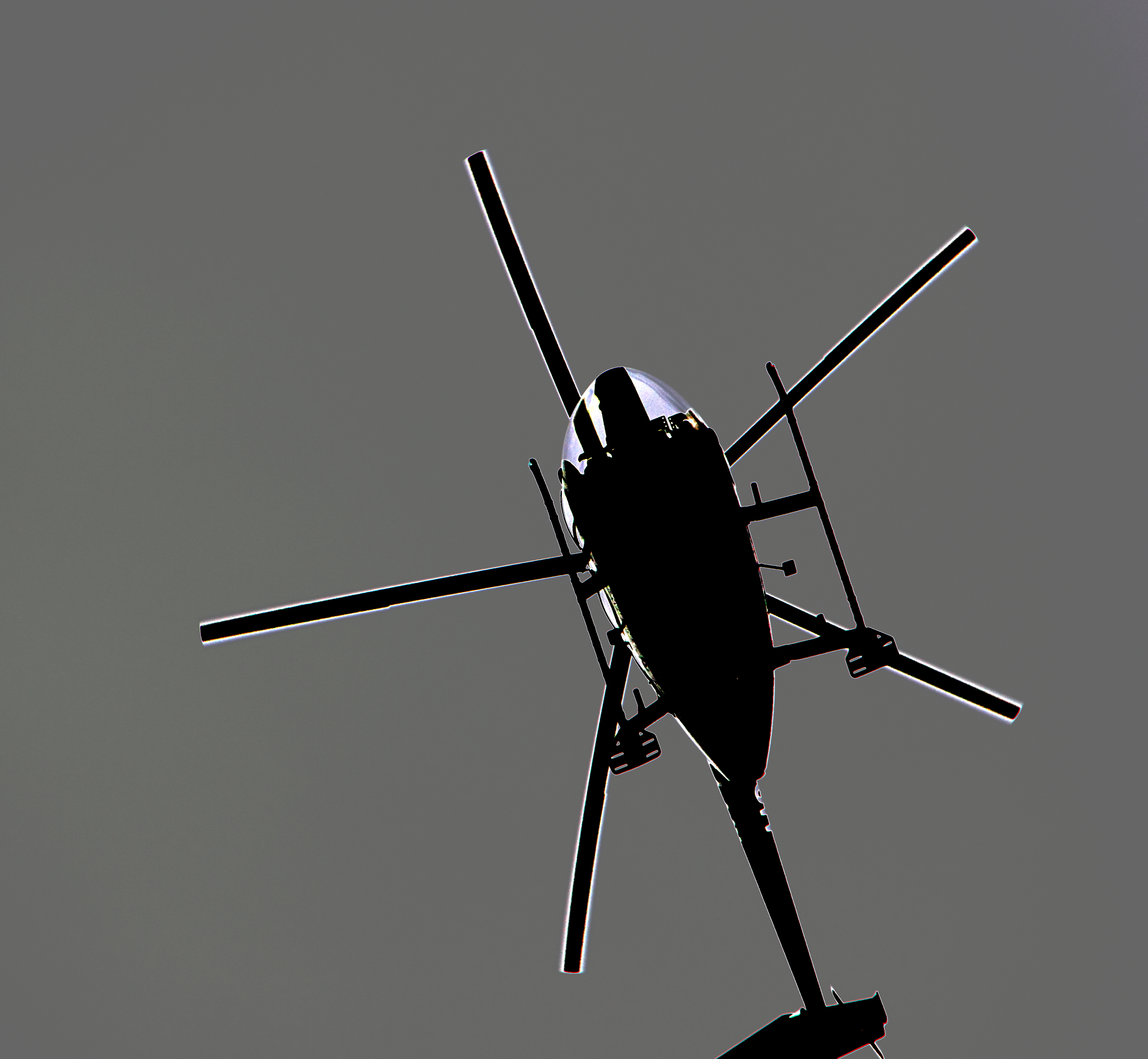
Police Helicopter Black and White
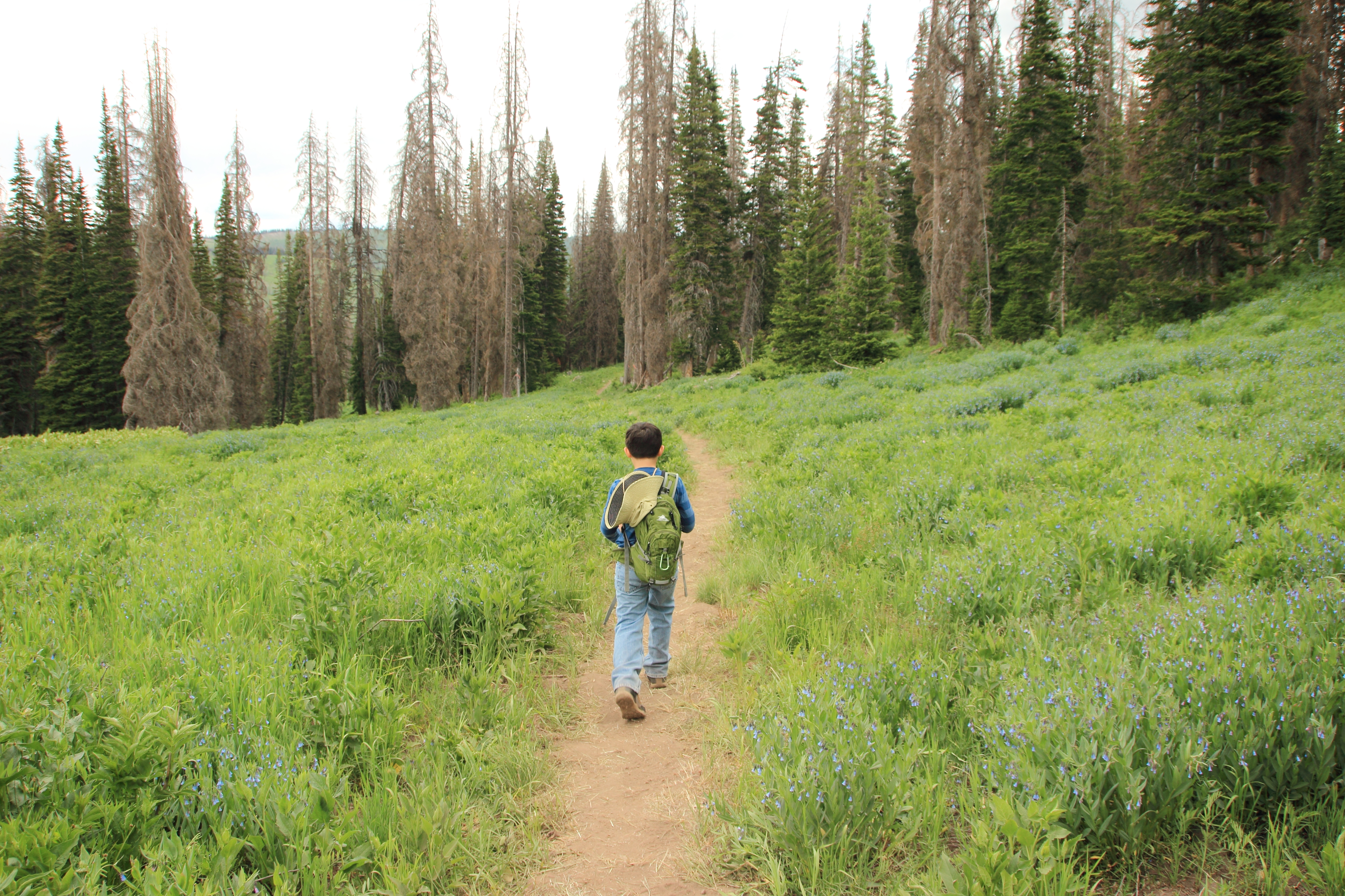
Walking To the Gathering

Foxy Lady

Worn Out Shoes
Watching the Tube
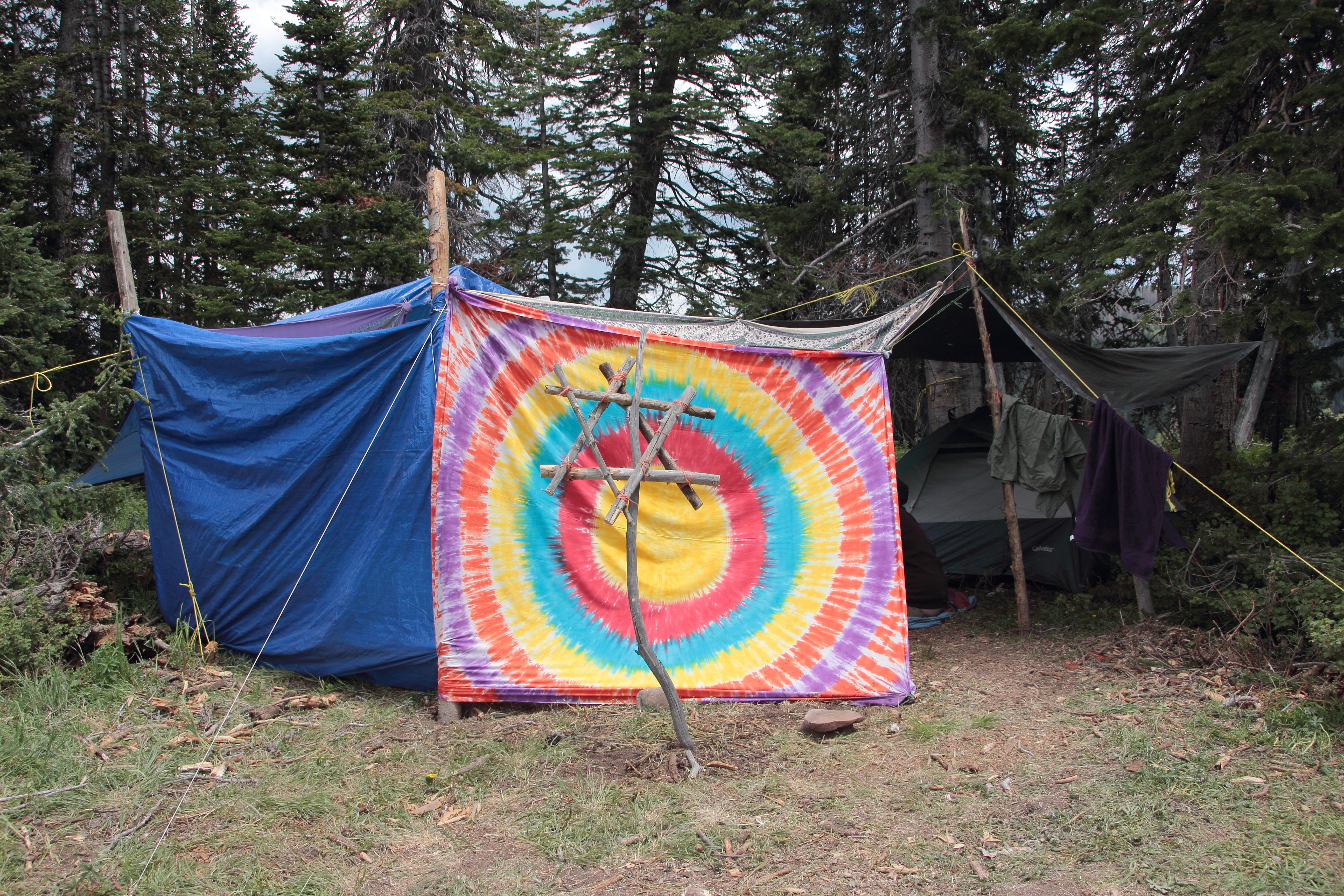
Psychedelic Rabbi
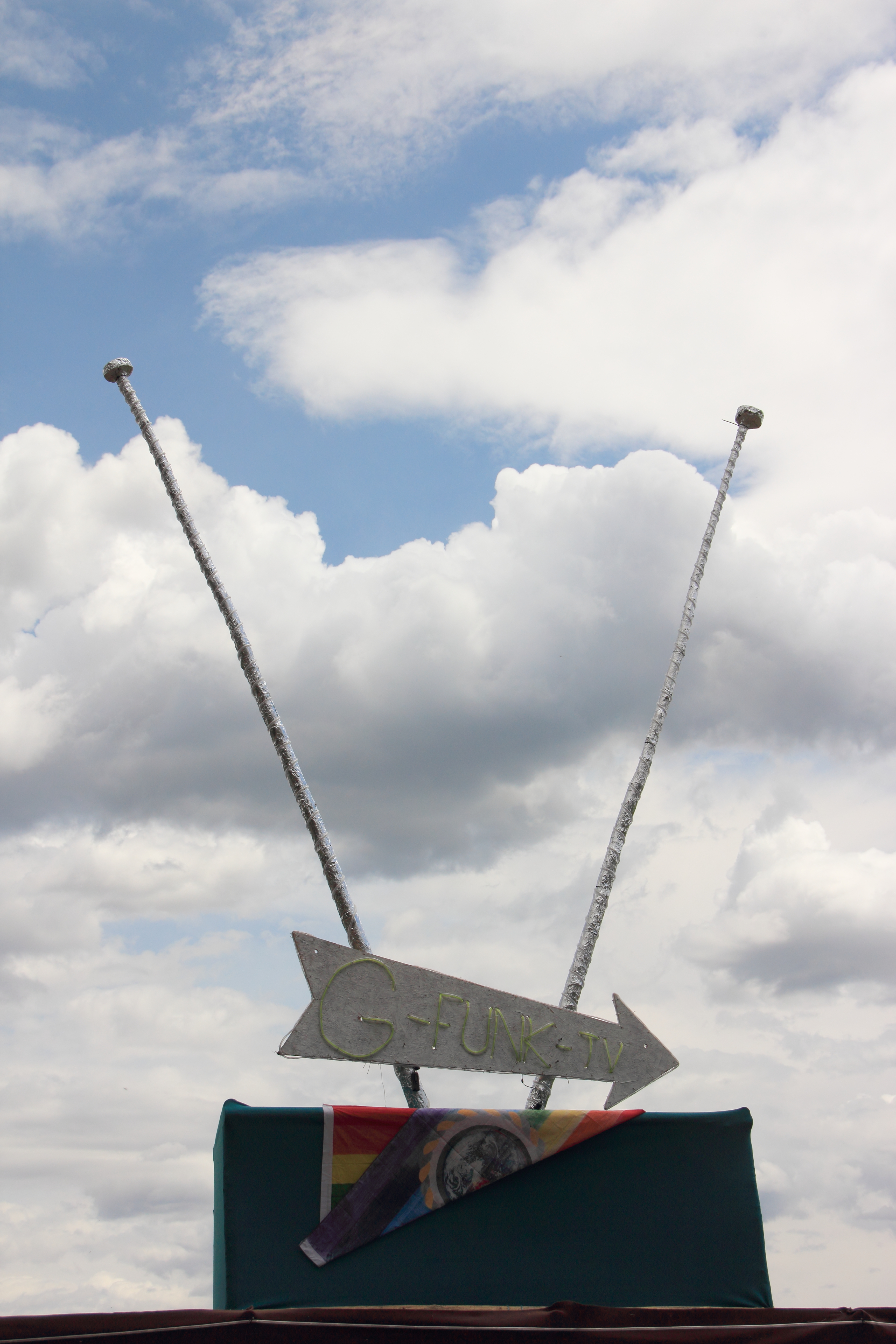
Tune In
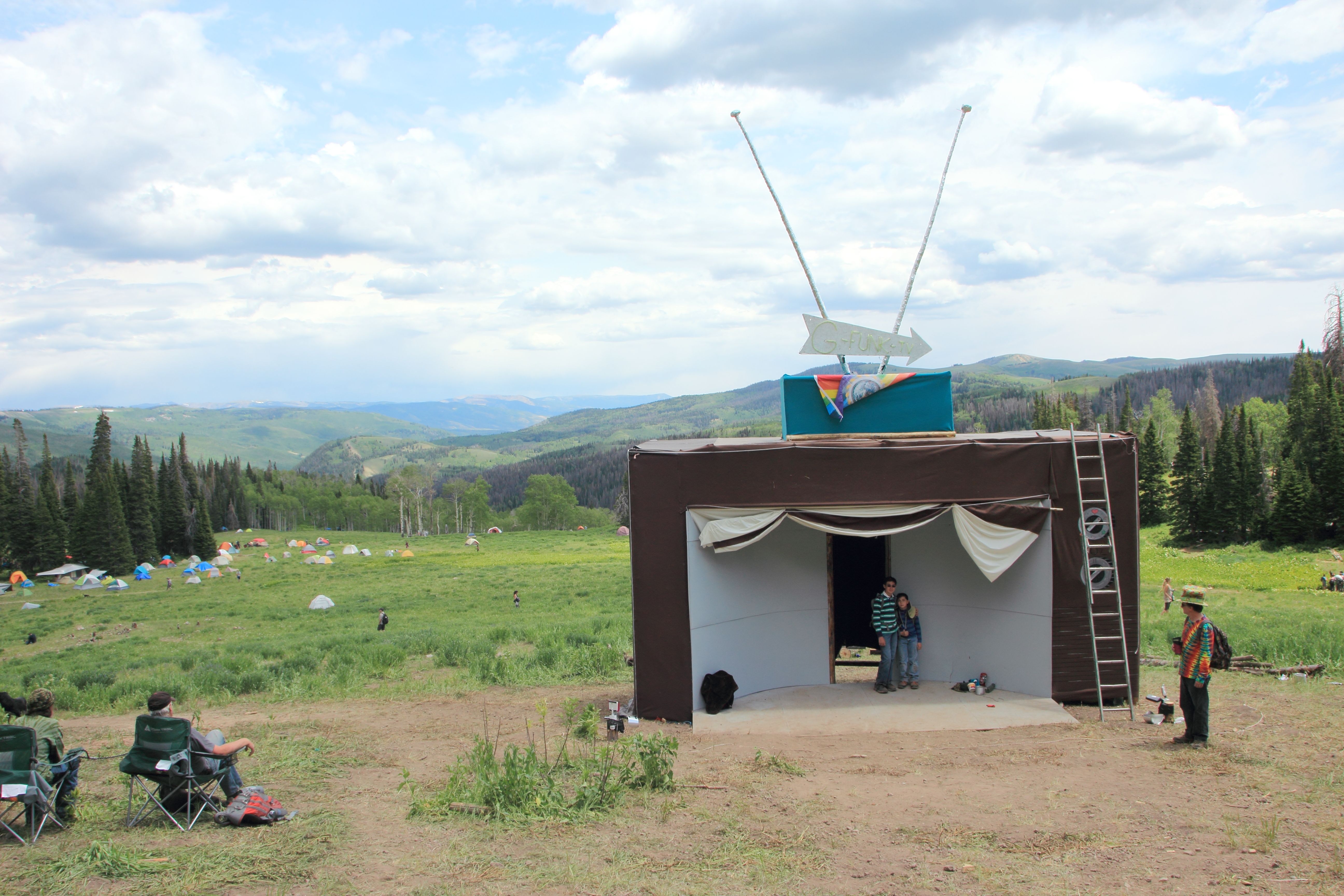
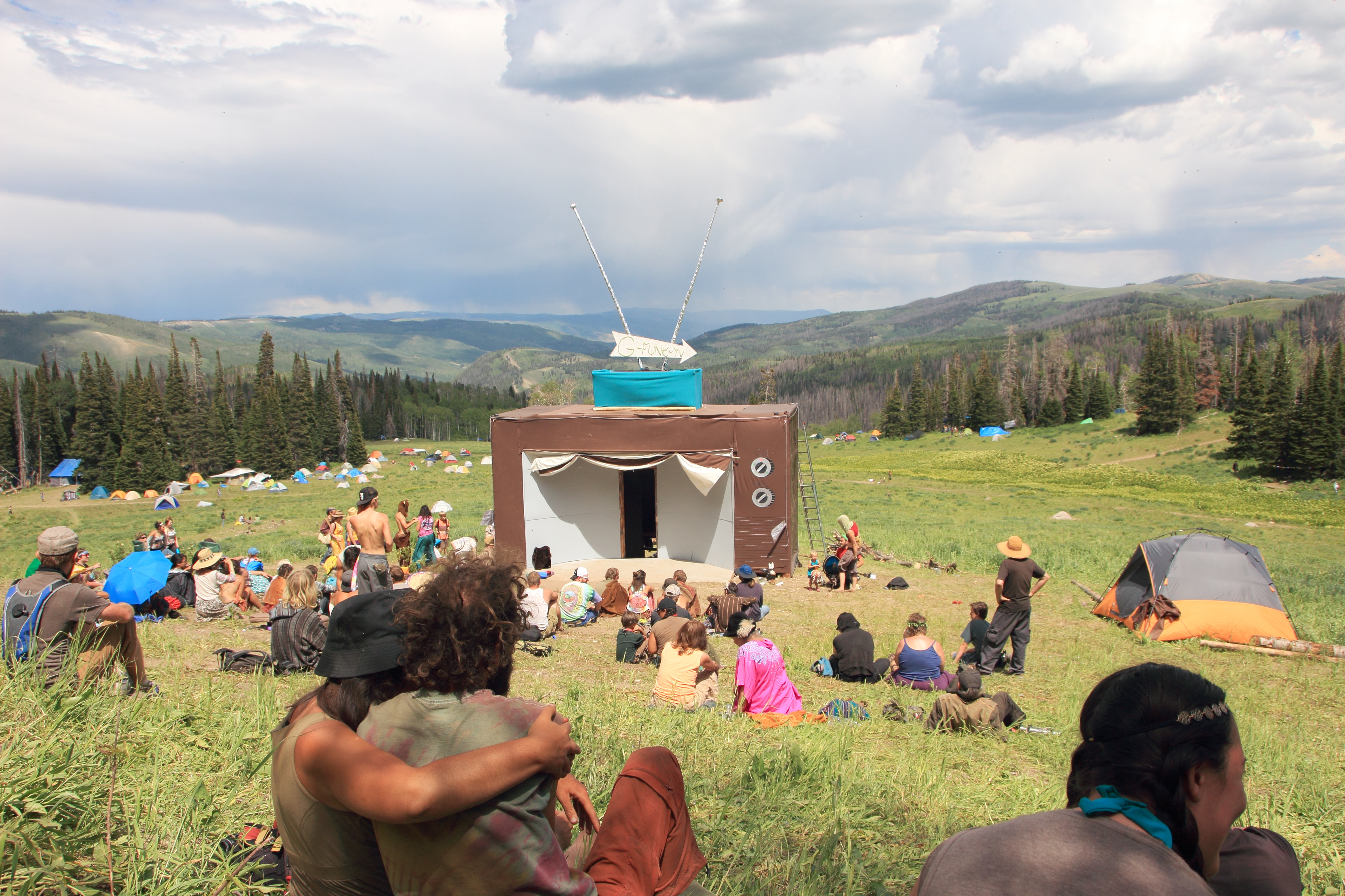
G - T.V.

Kid Village
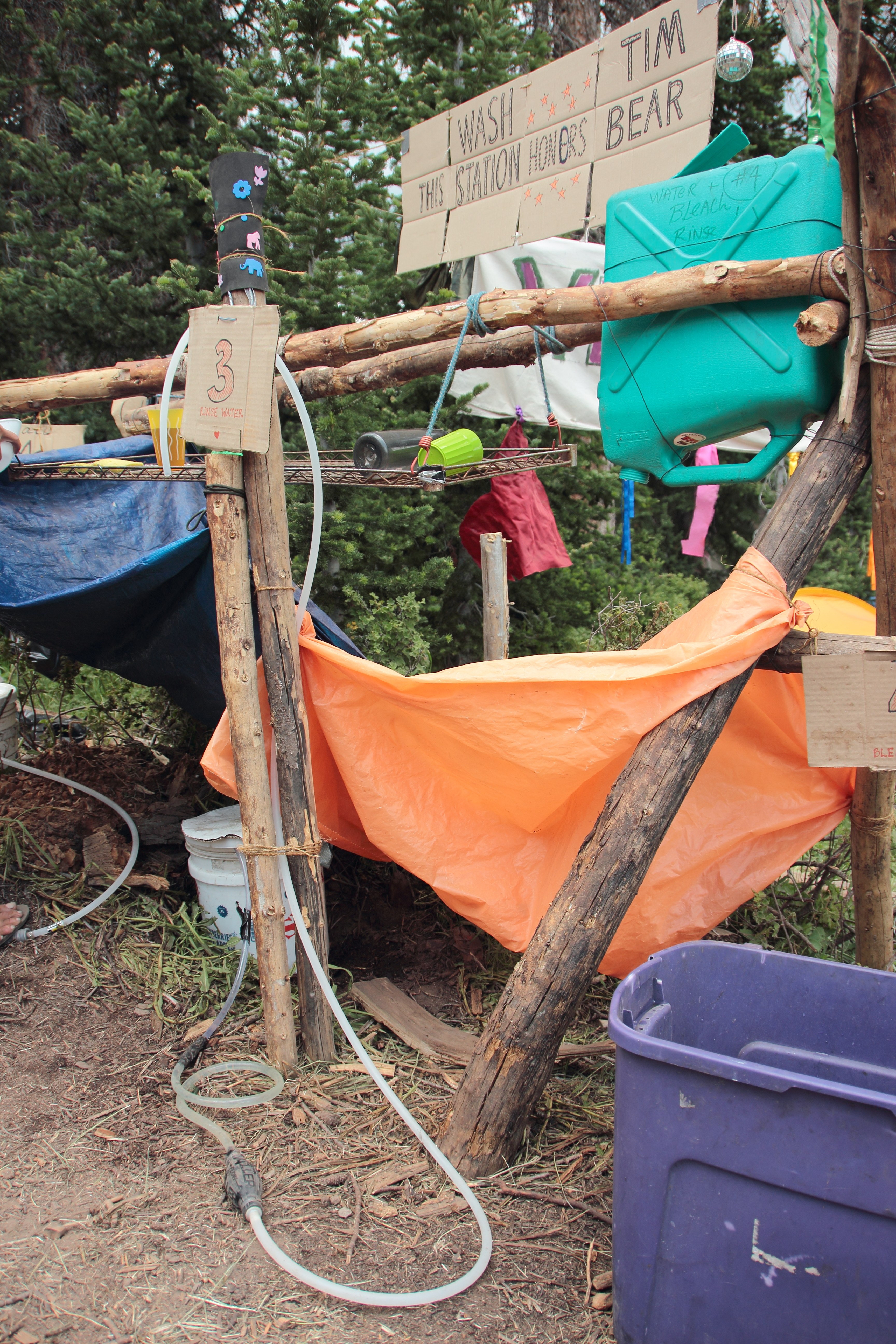
Dish Washing Station
Topographic Map of Wasatch County, UT, USA
Find elevation by address:

Places in Wasatch County, UT, USA:
Places near Wasatch County, UT, USA:
7661 Mountain Ridge Dr
Defa's Dude Ranch
Soldier Creek Campground Road
Fruitland
US-40, Fruitland, UT, USA
Hanna
Washington Lake
Crystal Lake Trailhead
Bald Mountain Pass
6570 S 37280 W
Anchor Lake
Jean Lake
Soldier Summit
Helen Lake
Duchesne County
Colton
Spring Canyon
823 Spring Canyon Cir
823 Castle Gate Cir
823 Castle Gate Rd
Recent Searches:
- Elevation of Corso Fratelli Cairoli, 35, Macerata MC, Italy
- Elevation of Tallevast Rd, Sarasota, FL, USA
- Elevation of 4th St E, Sonoma, CA, USA
- Elevation of Black Hollow Rd, Pennsdale, PA, USA
- Elevation of Oakland Ave, Williamsport, PA, USA
- Elevation of Pedrógão Grande, Portugal
- Elevation of Klee Dr, Martinsburg, WV, USA
- Elevation of Via Roma, Pieranica CR, Italy
- Elevation of Tavkvetili Mountain, Georgia
- Elevation of Hartfords Bluff Cir, Mt Pleasant, SC, USA