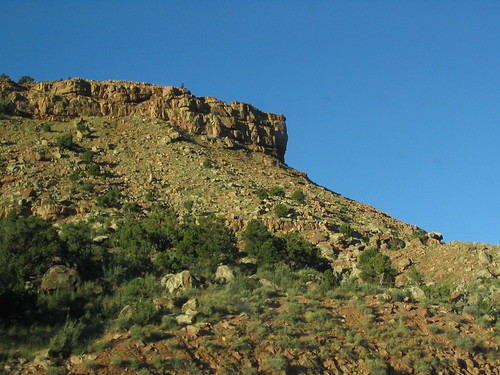
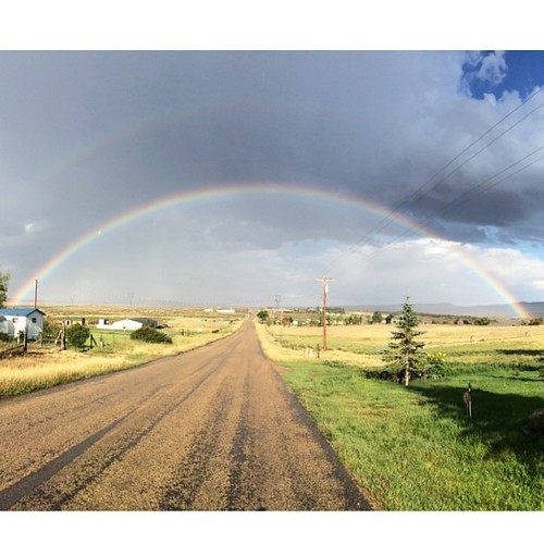
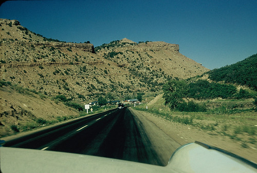
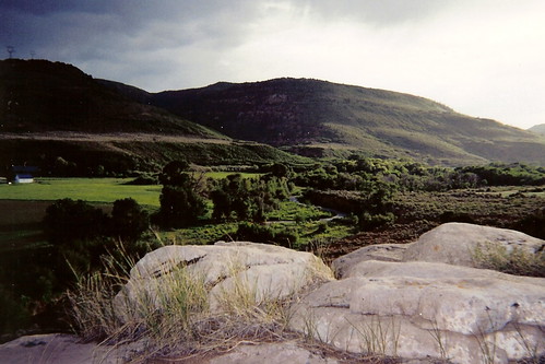
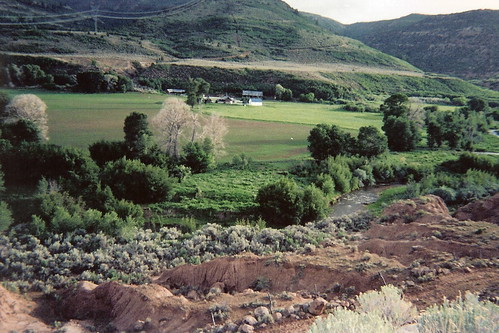
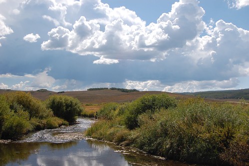
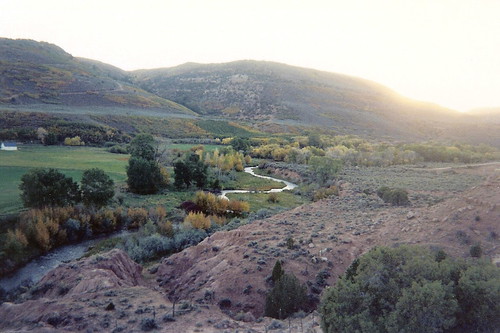
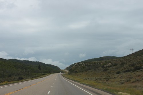
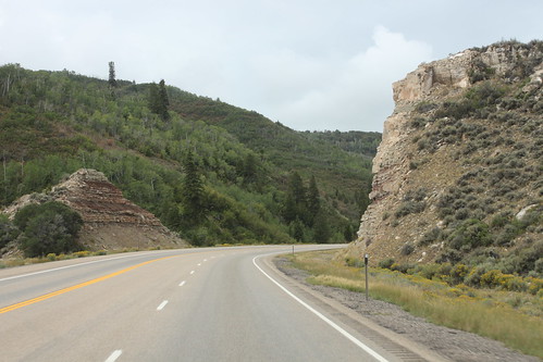
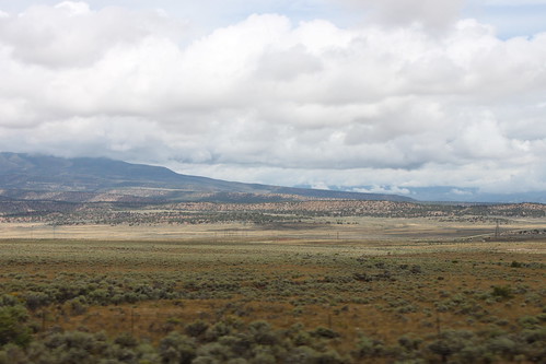
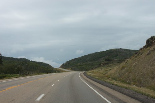
Elevation of US-40, Fruitland, UT, USA
Location: United States > Utah > Duchesne County > Fruitland >
Longitude: -110.82574
Latitude: 40.2089721
Elevation: 2034m / 6673feet
Barometric Pressure: 79KPa
Related Photos:
Topographic Map of US-40, Fruitland, UT, USA
Find elevation by address:

Places near US-40, Fruitland, UT, USA:
Fruitland
6570 S 37280 W
Hanna
Wasatch County
Soldier Creek Campground Road
7661 Mountain Ridge Dr
Duchesne County
Defa's Dude Ranch
Soldier Summit
Colton
Bald Mountain Pass
Washington Lake
Crystal Lake Trailhead
Spring Canyon
823 Spring Canyon Cir
823 Castle Gate Cir
823 Castle Gate Rd
Helper
Helen Lake
Anchor Lake
Recent Searches:
- Elevation of Corso Fratelli Cairoli, 35, Macerata MC, Italy
- Elevation of Tallevast Rd, Sarasota, FL, USA
- Elevation of 4th St E, Sonoma, CA, USA
- Elevation of Black Hollow Rd, Pennsdale, PA, USA
- Elevation of Oakland Ave, Williamsport, PA, USA
- Elevation of Pedrógão Grande, Portugal
- Elevation of Klee Dr, Martinsburg, WV, USA
- Elevation of Via Roma, Pieranica CR, Italy
- Elevation of Tavkvetili Mountain, Georgia
- Elevation of Hartfords Bluff Cir, Mt Pleasant, SC, USA
