Elevation map of Duchesne County, UT, USA
Location: United States > Utah >
Longitude: -110.52154
Latitude: 40.2172448
Elevation: 1845m / 6053feet
Barometric Pressure: 81KPa
Elevation Map:
Satellite Map:
Related Photos:

Greyhound driving across Starvation Reservoir on US Route 40
Starvation Reservoir

THIS. "Starvation Reservoir."
#Tree #cliff and #sky from 189 #Utah outside of #duchesne
Starvation Reservoir
Starvation Reservoir
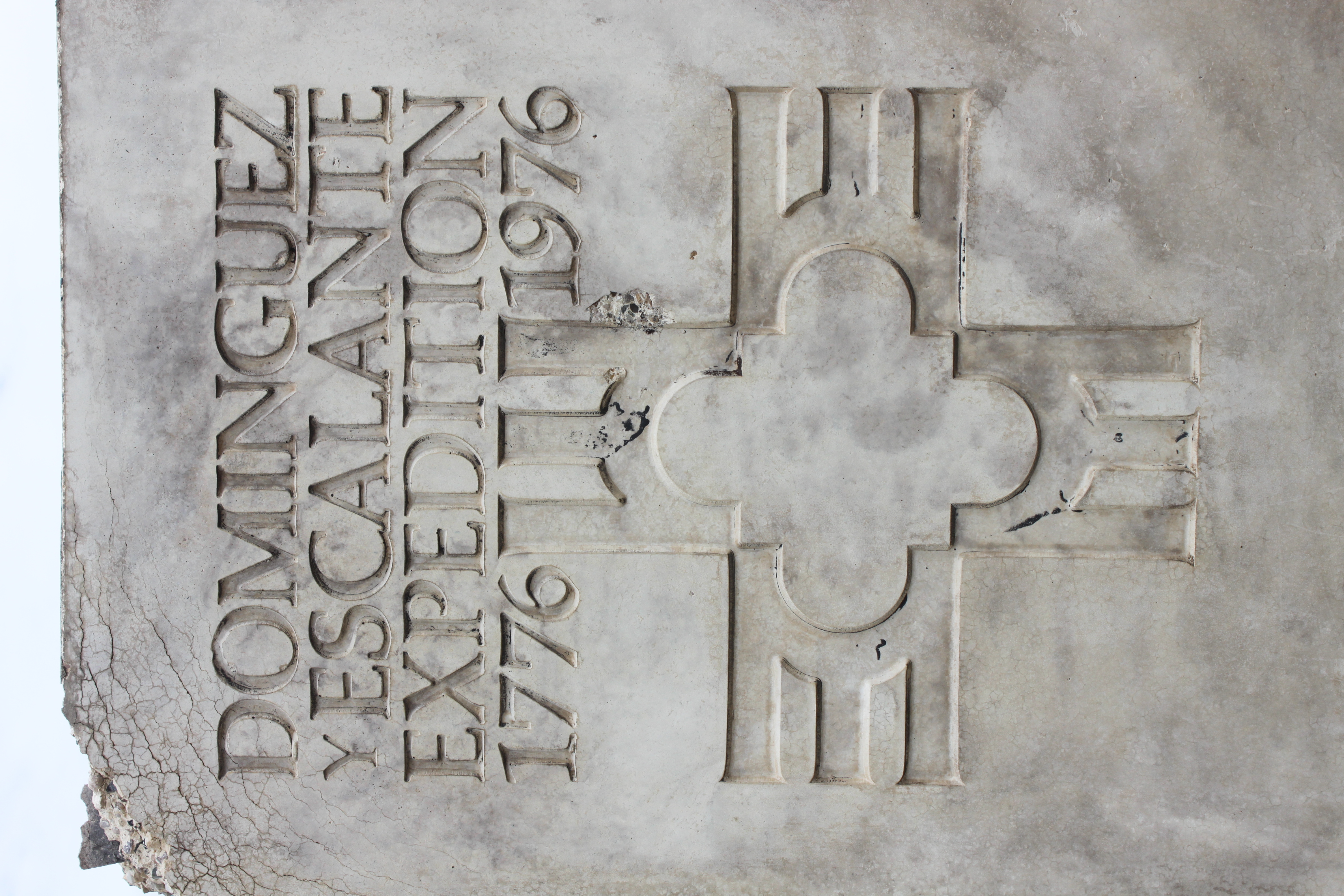
Dominguez y Escalante Expedition
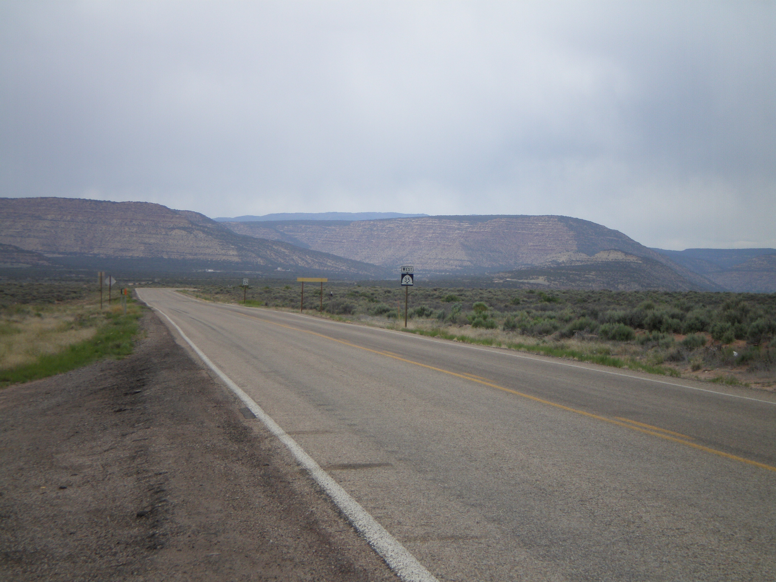
Begin UT-35 West

Main Street, Duchesne
Topographic Map of Duchesne County, UT, USA
Find elevation by address:

Places in Duchesne County, UT, USA:
Places near Duchesne County, UT, USA:
6570 S 37280 W
US-40, Fruitland, UT, USA
Hanna
Fruitland
Bluebell
1500 South
Nine Mile Ranch
9 Mile Canyon Road
E Main St, Myton, UT, USA
Myton
Defa's Dude Ranch
2243 W 280 S
Wasatch County
Soldier Creek Campground Road
Neola
Roosevelt
7661 Mountain Ridge Dr
Helen Lake
Carbon County
Kings Peak
Recent Searches:
- Elevation of Corso Fratelli Cairoli, 35, Macerata MC, Italy
- Elevation of Tallevast Rd, Sarasota, FL, USA
- Elevation of 4th St E, Sonoma, CA, USA
- Elevation of Black Hollow Rd, Pennsdale, PA, USA
- Elevation of Oakland Ave, Williamsport, PA, USA
- Elevation of Pedrógão Grande, Portugal
- Elevation of Klee Dr, Martinsburg, WV, USA
- Elevation of Via Roma, Pieranica CR, Italy
- Elevation of Tavkvetili Mountain, Georgia
- Elevation of Hartfords Bluff Cir, Mt Pleasant, SC, USA